Dinosaur is a statutory town in Moffat County, Colorado, United States. As of the 2020 census, the population was 243, down from 339 at the 2010 census.
Dinosaur is a part of the Craig, CO Micropolitan Statistical Area.
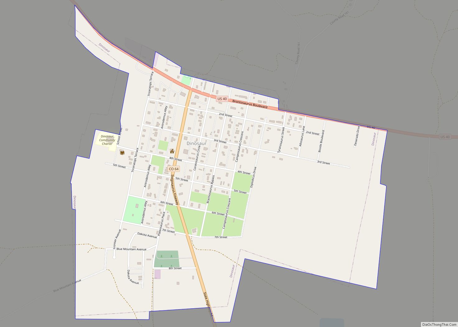
The town of Dinosaur was originally known as “Baxter Springs”, owned by Art and Fanny Baxter. It was renamed “Artesia” for its valued water supply when a town was platted to accommodate the oil boom in the 1940s. The current name was adopted in 1966, to capitalize on the town’s proximity to Dinosaur National Monument. The Dinosaur National Monument headquarters is located just east of the town on U.S. Highway 40.
| Name: | Dinosaur town |
|---|---|
| LSAD Code: | 43 |
| LSAD Description: | town (suffix) |
| State: | Colorado |
| County: | Moffat County |
| Incorporated: | 1947-12-09, as the Town of Artesia |
| Elevation: | 5,922 ft (1,805 m) |
| Total Area: | 0.930 sq mi (2.408 km²) |
| Land Area: | 0.930 sq mi (2.408 km²) |
| Water Area: | 0.000 sq mi (0.000 km²) |
| Total Population: | 243 |
| Population Density: | 261/sq mi (101/km²) |
| ZIP code: | 81610 & 81633 |
| Area code: | 970 |
| FIPS code: | 0820495 |
| Website: | townofdinosaur.colorado.gov |
Online Interactive Map
Click on ![]() to view map in "full screen" mode.
to view map in "full screen" mode.
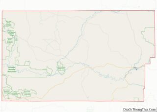
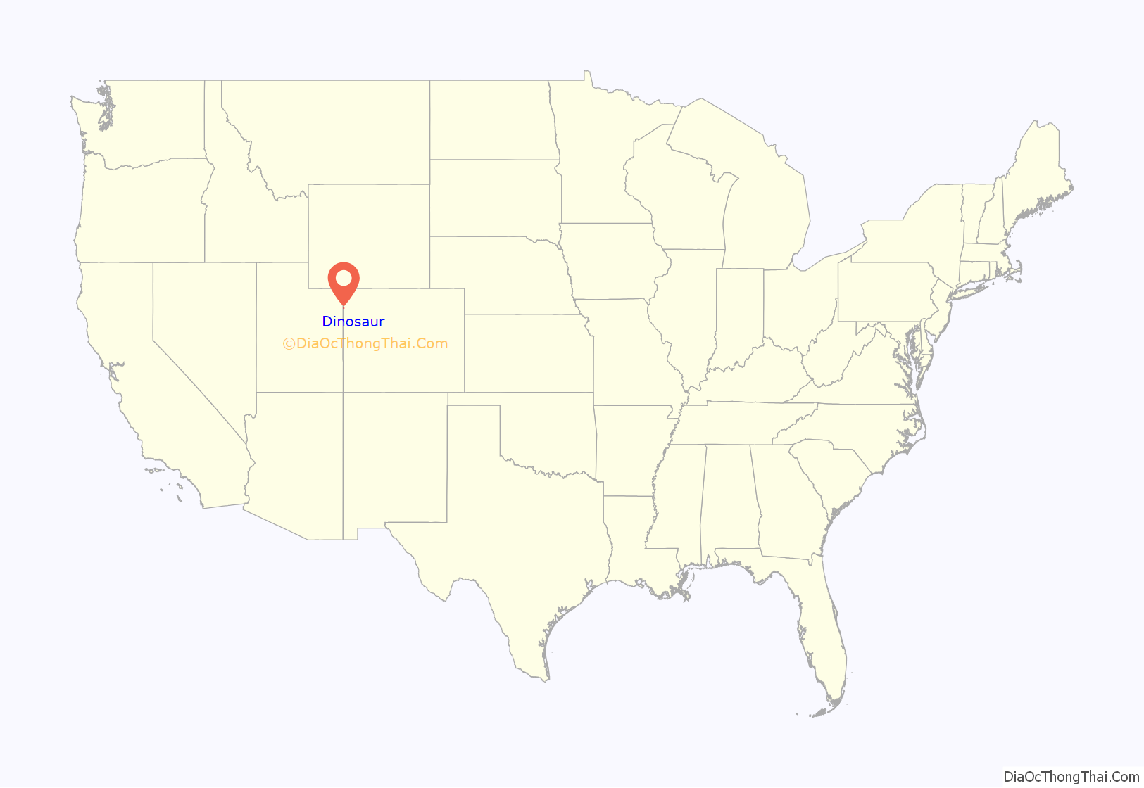
Dinosaur location map. Where is Dinosaur town?
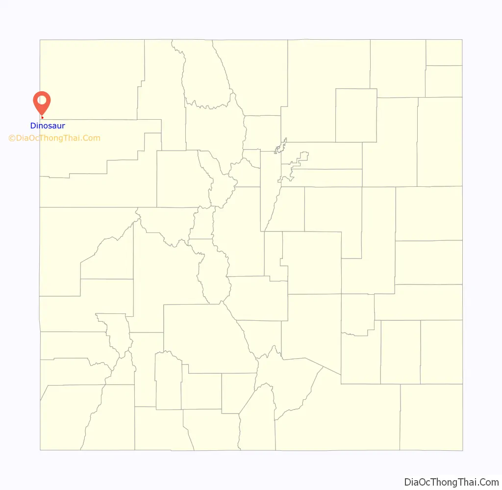
Dinosaur Road Map
Dinosaur city Satellite Map
Geography
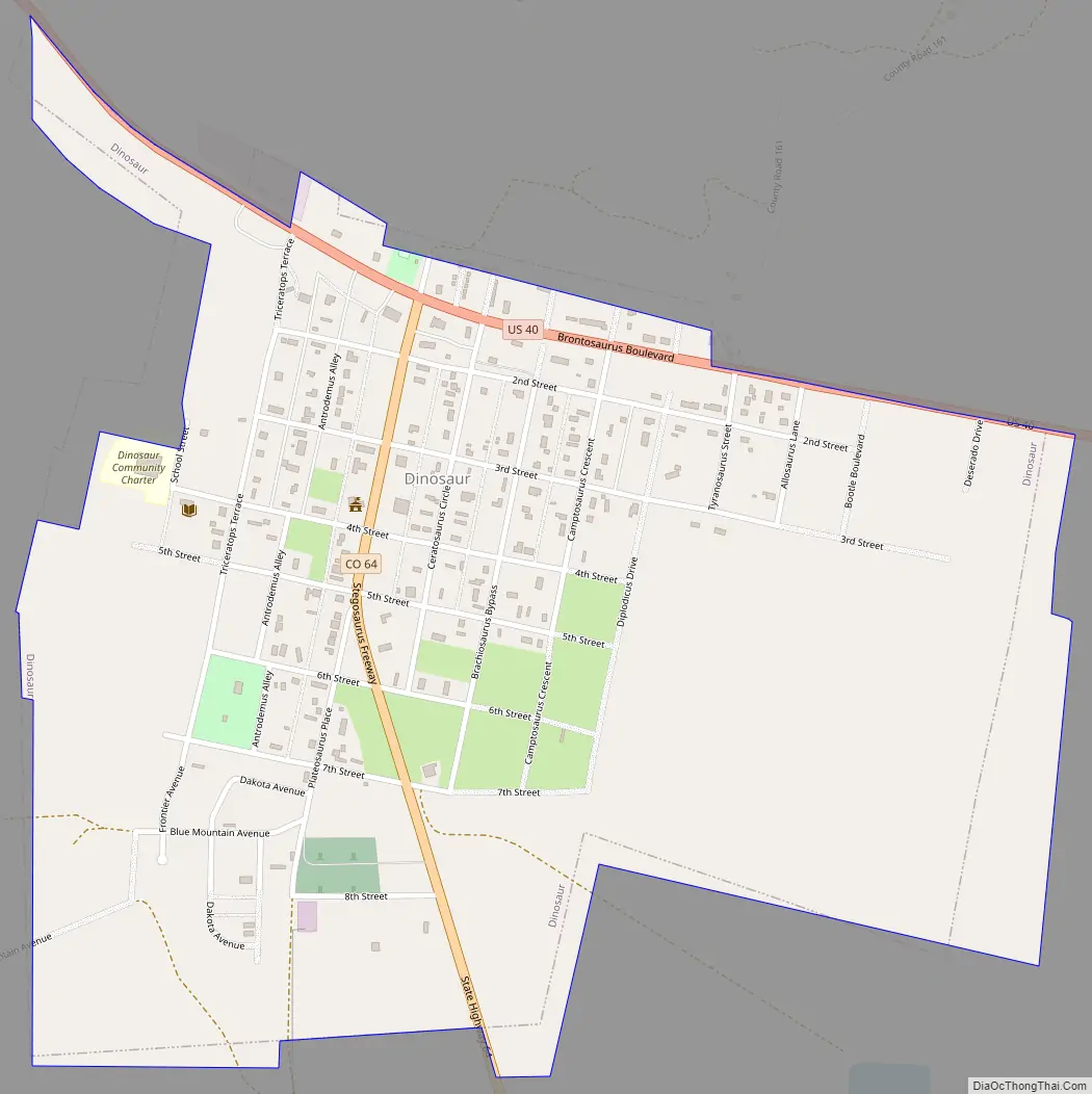
Dinosaur is located in the southwest corner of Moffat County at 40°14′30″N 109°0′31″W / 40.24167°N 109.00861°W / 40.24167; -109.00861 (40.241560, -109.008747). The Utah border is 2 miles (3 km) to the west. US-40 runs along the northern border of the town, leading east 87 miles (140 km) to Craig, the county seat, and west 33 miles (53 km) to Vernal, Utah. Colorado State Highway 64 has its northern terminus in Dinosaur and leads southeast 18 miles (29 km) to Rangely. The entrance and headquarters of Dinosaur National Monument are 2 miles (3 km) east on US-40, with the main body of the park 19 miles (31 km) to the north via Harpers Corner Road.
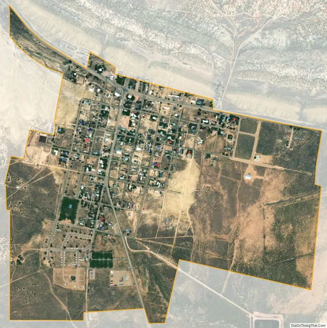
At the 2020 United States Census, the town of Dinosaur had a total area of 595 acres (2.408 km), all of it land.
Many streets in the town are named after dinosaurs, including Cletisaurus Circle, Tyrannosaurus Trail, and Antrodemus Alley.
See also
Map of Colorado State and its subdivision:- Adams
- Alamosa
- Arapahoe
- Archuleta
- Baca
- Bent
- Boulder
- Broomfield
- Chaffee
- Cheyenne
- Clear Creek
- Conejos
- Costilla
- Crowley
- Custer
- Delta
- Denver
- Dolores
- Douglas
- Eagle
- El Paso
- Elbert
- Fremont
- Garfield
- Gilpin
- Grand
- Gunnison
- Hinsdale
- Huerfano
- Jackson
- Jefferson
- Kiowa
- Kit Carson
- La Plata
- Lake
- Larimer
- Las Animas
- Lincoln
- Logan
- Mesa
- Mineral
- Moffat
- Montezuma
- Montrose
- Morgan
- Otero
- Ouray
- Park
- Phillips
- Pitkin
- Prowers
- Pueblo
- Rio Blanco
- Rio Grande
- Routt
- Saguache
- San Juan
- San Miguel
- Sedgwick
- Summit
- Teller
- Washington
- Weld
- Yuma
- Alabama
- Alaska
- Arizona
- Arkansas
- California
- Colorado
- Connecticut
- Delaware
- District of Columbia
- Florida
- Georgia
- Hawaii
- Idaho
- Illinois
- Indiana
- Iowa
- Kansas
- Kentucky
- Louisiana
- Maine
- Maryland
- Massachusetts
- Michigan
- Minnesota
- Mississippi
- Missouri
- Montana
- Nebraska
- Nevada
- New Hampshire
- New Jersey
- New Mexico
- New York
- North Carolina
- North Dakota
- Ohio
- Oklahoma
- Oregon
- Pennsylvania
- Rhode Island
- South Carolina
- South Dakota
- Tennessee
- Texas
- Utah
- Vermont
- Virginia
- Washington
- West Virginia
- Wisconsin
- Wyoming