Brandon is a census-designated place (CDP) in and governed by Kiowa County, Colorado, United States. The population of the Brandon CDP was 21 at the United States Census 2020. The Sheridan Lake post office (Zip Code 81071) serves Brandon postal addresses.
| Name: | Brandon CDP |
|---|---|
| LSAD Code: | 57 |
| LSAD Description: | CDP (suffix) |
| State: | Colorado |
| County: | Kiowa County |
| Elevation: | 3,924 ft (1,196 m) |
| Total Area: | 0.117 sq mi (0.304 km²) |
| Land Area: | 0.117 sq mi (0.304 km²) |
| Water Area: | 0.000 sq mi (0.000 km²) |
| Total Population: | 21 |
| Population Density: | 180/sq mi (69/km²) |
| ZIP code: | 81071 |
| Area code: | 719 |
| FIPS code: | 0808290 |
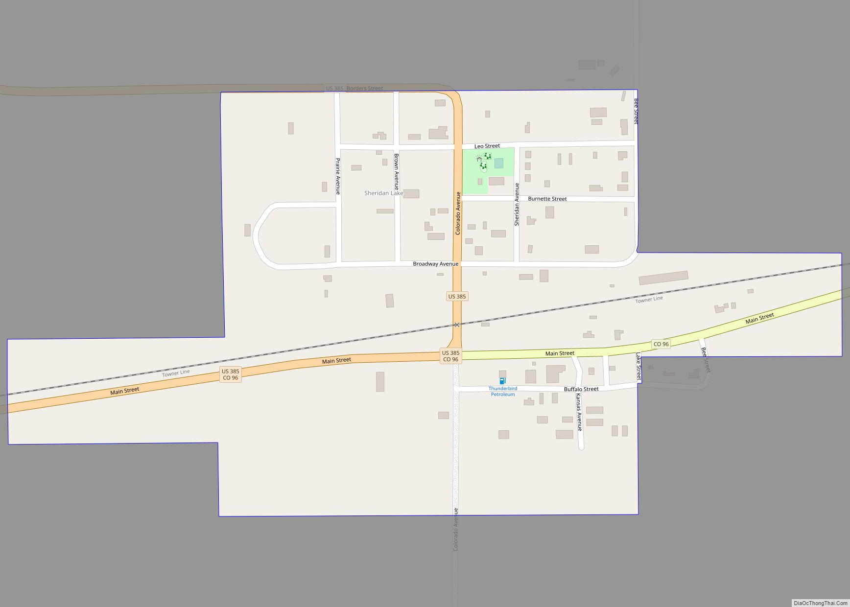
Online Interactive Map
Click on ![]() to view map in "full screen" mode.
to view map in "full screen" mode.
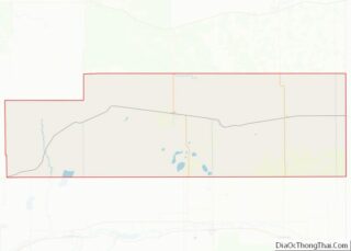
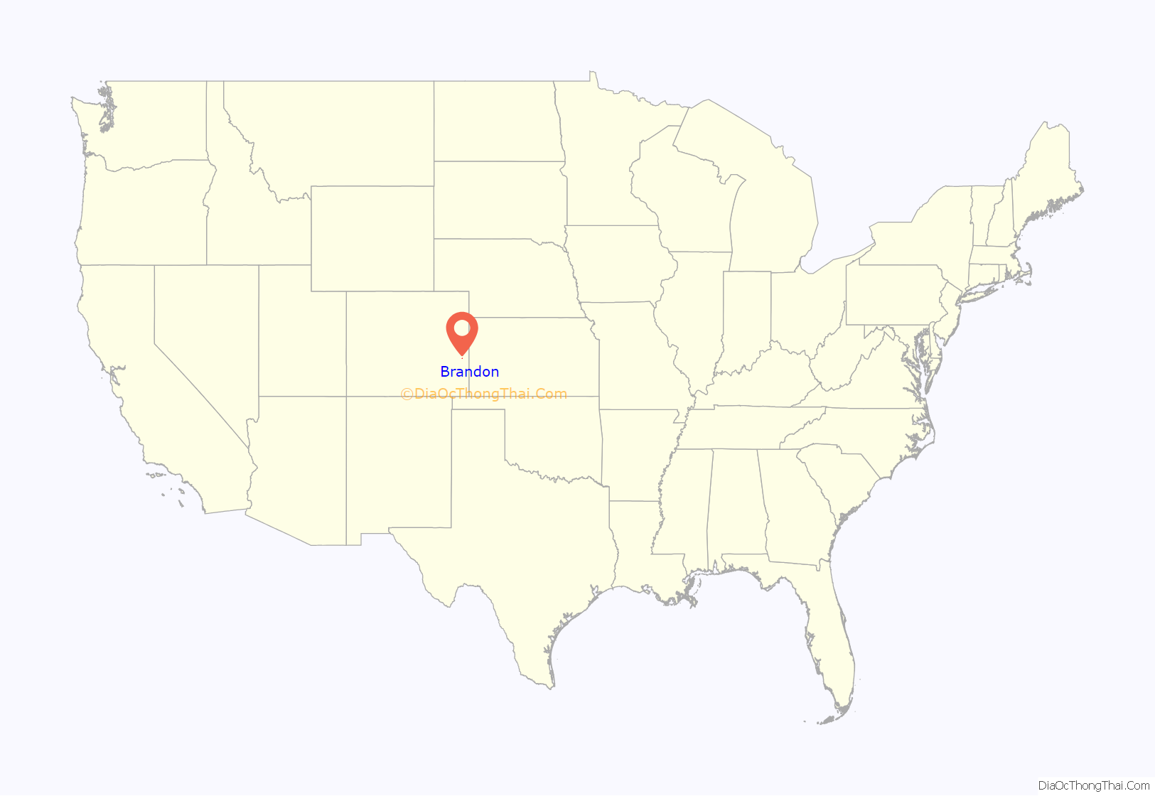
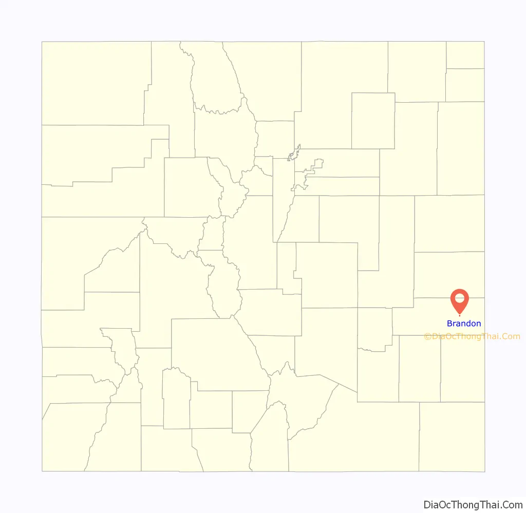
Brandon location map. Where is Brandon CDP?
History
The town of Brandon was established in late 1887. The Brandon post office opened on May 19, 1888, and closed on February 28, 1963.
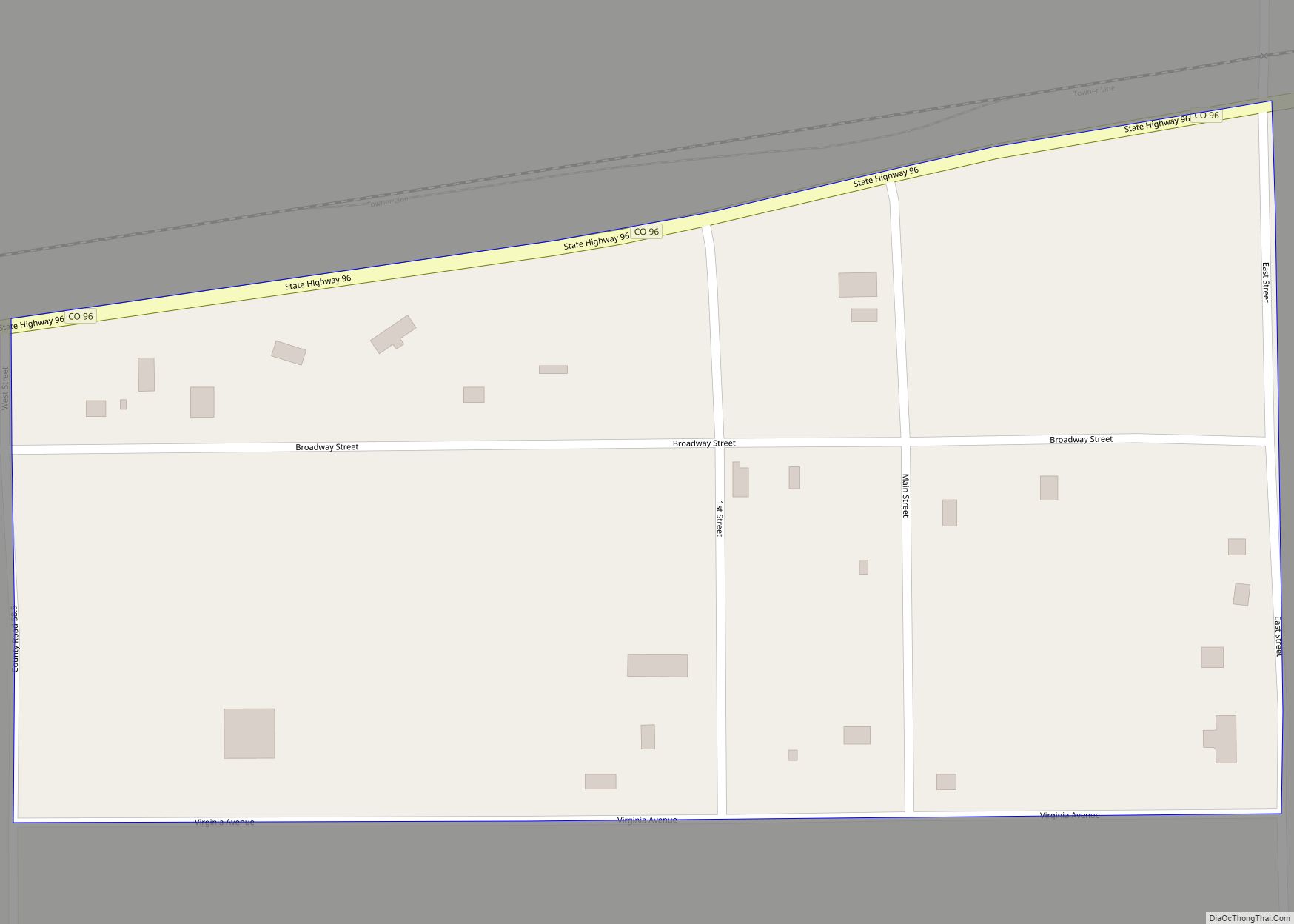
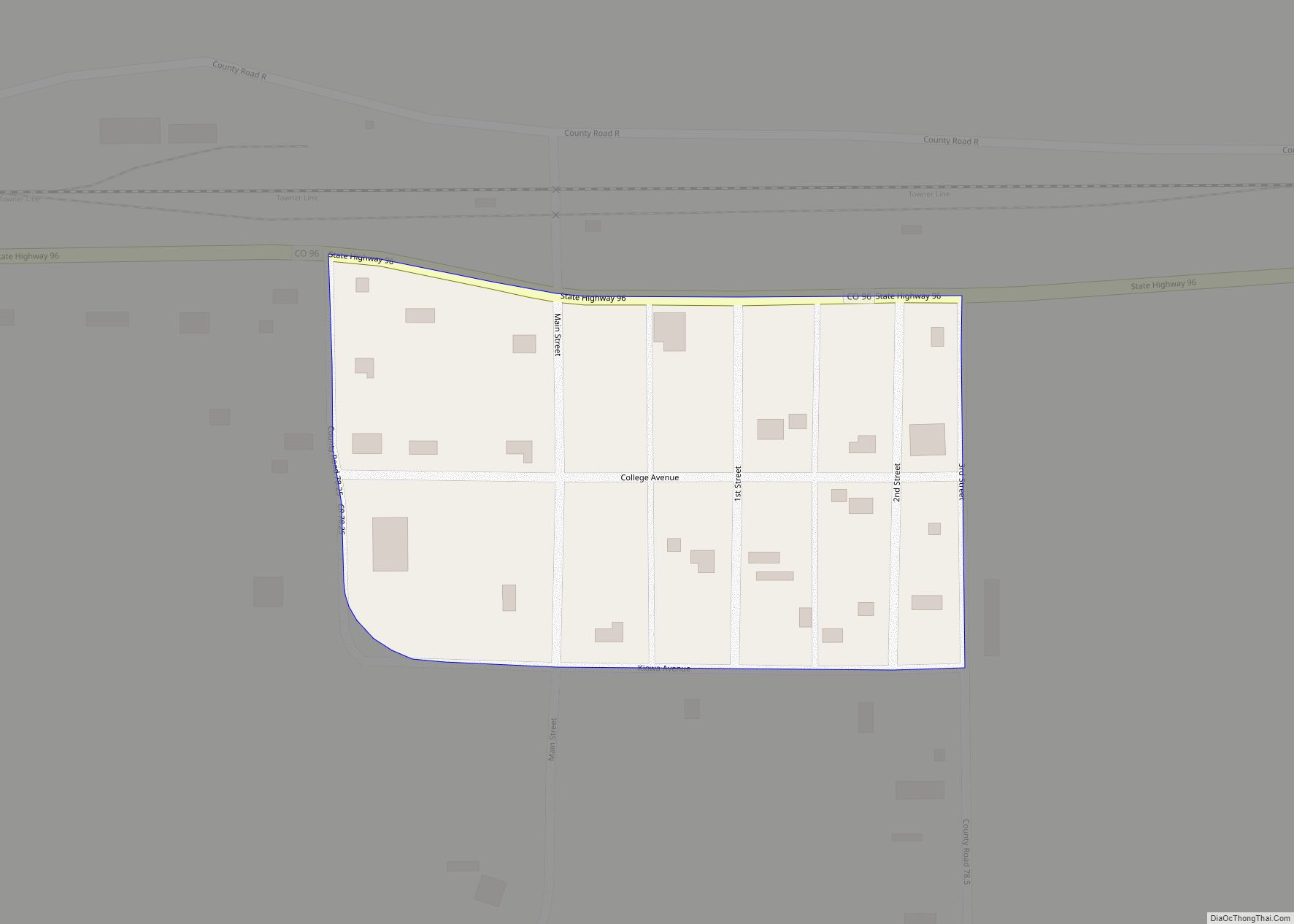
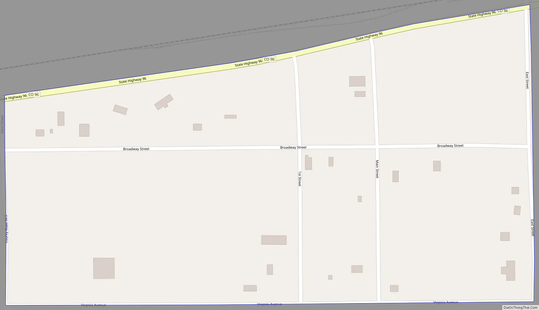
Brandon Road Map
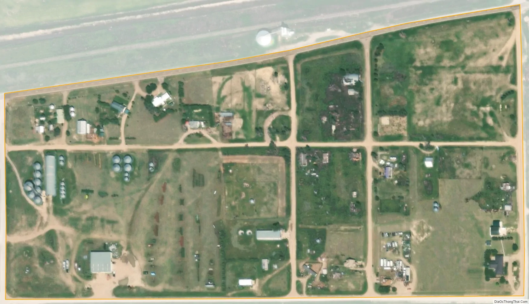
Brandon city Satellite Map
Geography
Brandon is located in eastern Kiowa County. Colorado State Highway 96 passes along the north side of the community, leading west 20 miles (32 km) to Eads, the county seat, and east 8 miles (13 km) to Sheridan Lake.
The Brandon CDP has an area of 75 acres (0.304 km), all land.
See also
Map of Colorado State and its subdivision:- Adams
- Alamosa
- Arapahoe
- Archuleta
- Baca
- Bent
- Boulder
- Broomfield
- Chaffee
- Cheyenne
- Clear Creek
- Conejos
- Costilla
- Crowley
- Custer
- Delta
- Denver
- Dolores
- Douglas
- Eagle
- El Paso
- Elbert
- Fremont
- Garfield
- Gilpin
- Grand
- Gunnison
- Hinsdale
- Huerfano
- Jackson
- Jefferson
- Kiowa
- Kit Carson
- La Plata
- Lake
- Larimer
- Las Animas
- Lincoln
- Logan
- Mesa
- Mineral
- Moffat
- Montezuma
- Montrose
- Morgan
- Otero
- Ouray
- Park
- Phillips
- Pitkin
- Prowers
- Pueblo
- Rio Blanco
- Rio Grande
- Routt
- Saguache
- San Juan
- San Miguel
- Sedgwick
- Summit
- Teller
- Washington
- Weld
- Yuma
- Alabama
- Alaska
- Arizona
- Arkansas
- California
- Colorado
- Connecticut
- Delaware
- District of Columbia
- Florida
- Georgia
- Hawaii
- Idaho
- Illinois
- Indiana
- Iowa
- Kansas
- Kentucky
- Louisiana
- Maine
- Maryland
- Massachusetts
- Michigan
- Minnesota
- Mississippi
- Missouri
- Montana
- Nebraska
- Nevada
- New Hampshire
- New Jersey
- New Mexico
- New York
- North Carolina
- North Dakota
- Ohio
- Oklahoma
- Oregon
- Pennsylvania
- Rhode Island
- South Carolina
- South Dakota
- Tennessee
- Texas
- Utah
- Vermont
- Virginia
- Washington
- West Virginia
- Wisconsin
- Wyoming