Eldora (pronounced el-DOH-ruh), previously known as “Eldorado” then “El-Dora”, then Eldora or Camp Eldorado, and still called Happy Valley, is an unincorporated community and a census-designated place (CDP) located in and governed by Boulder County, Colorado, United States. The CDP is a part of the Boulder, CO Metropolitan Statistical Area. The population of the Eldora CDP was 140 at the United States Census 2020. The Nederland post office (Zip Code 80466) serves the area.
Eldora is located within the Roosevelt National Forest, and is primarily a rural, densely forested, and sparsely populated area. Eldora is tucked into the valley carved by glaciation during the last ice age and by Middle Boulder Creek. From the village there are views up toward the alpine ski runs of Eldora Mountain Resort. A one-time gold camp, Eldora was a shipping point for the Caribou silver mine in nearby Nederland, CO. At present, Eldora is characterized by small cabins, a sprinkling of vacation homes, and several long-shuttered mercantiles.
Points of interest near Eldora include the Eldora Mountain Resort, Eldora Historic District, and Indian Peaks Wilderness. Eldora Historic District has been listed on the U.S. National Register of Historic Places since 1989. The area is home to an abundance of wilderness and wildlife, including animals such as mountain lions, black bears, coyotes, red foxes, mule deer, elk, bobcats, and much more.
The elevation of the town is 8,700 ft., and the highest point is 10,800 ft. Eldora receives a heavy annual snowfall of 300 inches each winter.
To get to Eldora from Boulder, CO, drive 18 miles west of Boulder on CO 119 to Nederland, CO. Continue through Nederland and turn right at the sign for Eldora. This road is CR 130, also known as Eldora Road. The town center of Eldora is approximately 3 miles from this turn.
| Name: | Eldora CDP |
|---|---|
| LSAD Code: | 57 |
| LSAD Description: | CDP (suffix) |
| State: | Colorado |
| County: | Boulder County |
| Elevation: | 9,403 ft (2,866 m) |
| Total Area: | 4.180 sq mi (10.827 km²) |
| Land Area: | 4.156 sq mi (10.763 km²) |
| Water Area: | 0.025 sq mi (0.064 km²) |
| Total Population: | 140 |
| Population Density: | 33/sq mi (13/km²) |
| ZIP code: | Nederland 80466 |
| FIPS code: | 0823575 |
Online Interactive Map
Click on ![]() to view map in "full screen" mode.
to view map in "full screen" mode.
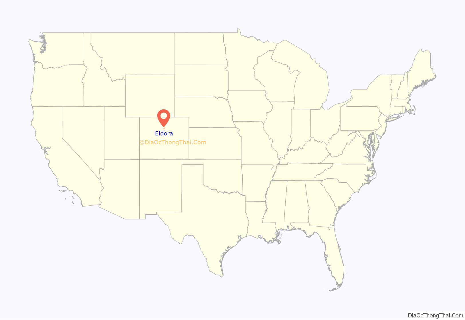
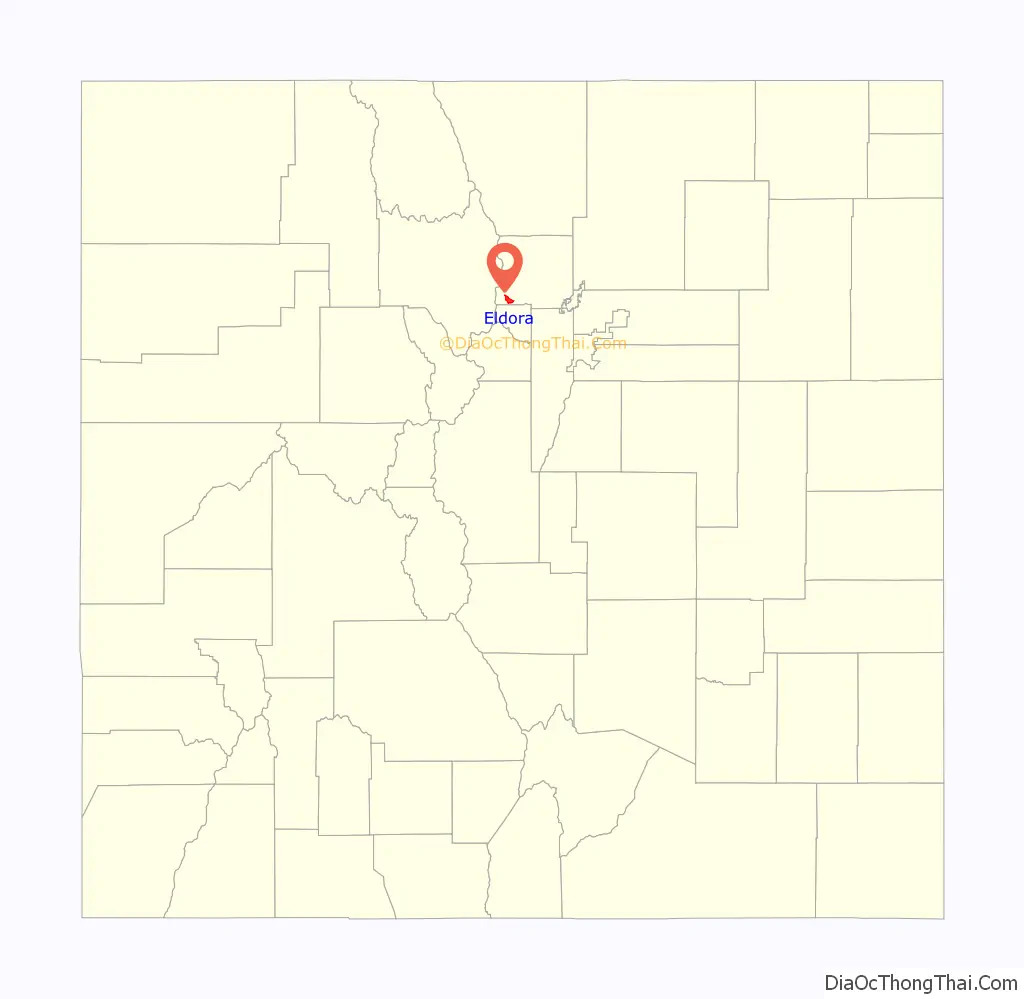
Eldora location map. Where is Eldora CDP?
History
Eldora was first settled by the Arapaho- and Ute people who used the area for hunting during summer. Eldora was originally built as a mining town. Although prospectors had been poking around in Eldora since the early 1850s, it was not until 1875 that enough gold was discovered to open a mine in Eldora. The primary decision to officially establish a town in the 1880s was in part an effort to open up further mining area, and in part an attempt at a through route into Middle Park and Western Colorado. Eldora boomed and prospered during the 1890s, and at one point, Eldora was home to as many as 1300–1500 people in the late 1890s. In 1898, Eldora was home to a bank, a post office, a school, nine hair saloons and seven grocery stores. Although it had a mining life of its own, Eldora also served as a supply center for the camps beyond, and a rail-road shipping center for the camps in the nearby area. The first time the manager of the Bailey Chlorination Mill in Eldora, Mr. Bailey, neglected to pay his workers on time, angry employees promptly gathered at his house, smoked him out, and shot and killed Mr. Bailey. Despite its intensity of gold, silver and tungsten mining, Eldora’s economic boom was brief. It peaked at the turn of the century, but experienced a devastating wildfire in 1899. With much of its timber lost, lumber that was vital to the mining construction was in short supply. The 21st century has experienced renewed interest in Eldora mining, with hopes of reopening the Mogul Tunnel Mine on Spencer Mountain.
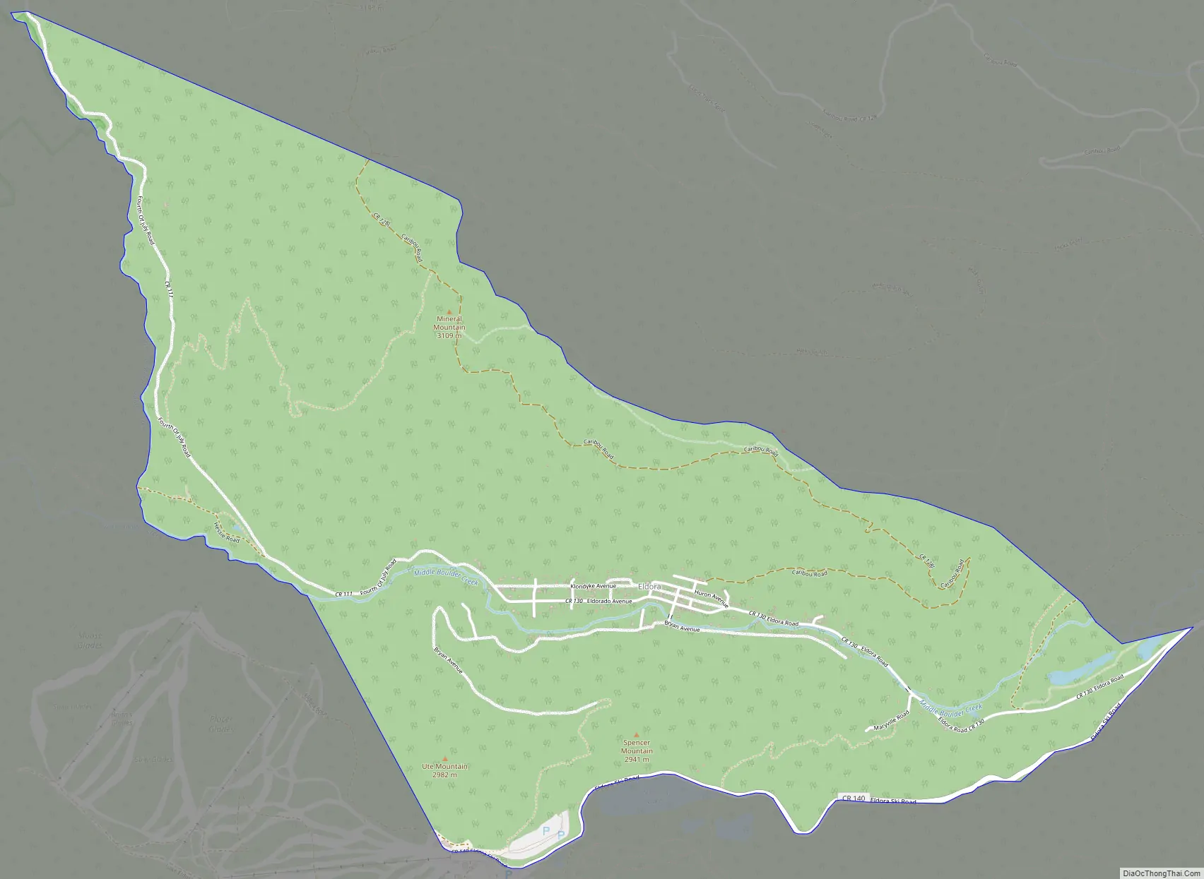
Eldora Road Map
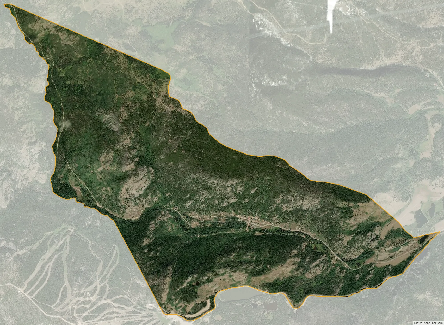
Eldora city Satellite Map
Geography
Eldora is a small village located in the southwestern parts of Boulder County, Colorado. Eldora is located within the Roosevelt National Forest, at the base of Ute Mountains in the Middle Boulder Creek valley. It is situated immediately above the Colorado banana belt. The nearest town is Nederland, Colorado, four miles east of Eldora. From Boulder, CO, you follow Colorado 119 through Boulder Canyon to Nederland, CO, and then head south-west into Eldora.
The Eldora CDP has an area of 2,675 acres (10.827 km), including 16 acres (0.064 km) of water.
See also
Map of Colorado State and its subdivision:- Adams
- Alamosa
- Arapahoe
- Archuleta
- Baca
- Bent
- Boulder
- Broomfield
- Chaffee
- Cheyenne
- Clear Creek
- Conejos
- Costilla
- Crowley
- Custer
- Delta
- Denver
- Dolores
- Douglas
- Eagle
- El Paso
- Elbert
- Fremont
- Garfield
- Gilpin
- Grand
- Gunnison
- Hinsdale
- Huerfano
- Jackson
- Jefferson
- Kiowa
- Kit Carson
- La Plata
- Lake
- Larimer
- Las Animas
- Lincoln
- Logan
- Mesa
- Mineral
- Moffat
- Montezuma
- Montrose
- Morgan
- Otero
- Ouray
- Park
- Phillips
- Pitkin
- Prowers
- Pueblo
- Rio Blanco
- Rio Grande
- Routt
- Saguache
- San Juan
- San Miguel
- Sedgwick
- Summit
- Teller
- Washington
- Weld
- Yuma
- Alabama
- Alaska
- Arizona
- Arkansas
- California
- Colorado
- Connecticut
- Delaware
- District of Columbia
- Florida
- Georgia
- Hawaii
- Idaho
- Illinois
- Indiana
- Iowa
- Kansas
- Kentucky
- Louisiana
- Maine
- Maryland
- Massachusetts
- Michigan
- Minnesota
- Mississippi
- Missouri
- Montana
- Nebraska
- Nevada
- New Hampshire
- New Jersey
- New Mexico
- New York
- North Carolina
- North Dakota
- Ohio
- Oklahoma
- Oregon
- Pennsylvania
- Rhode Island
- South Carolina
- South Dakota
- Tennessee
- Texas
- Utah
- Vermont
- Virginia
- Washington
- West Virginia
- Wisconsin
- Wyoming


