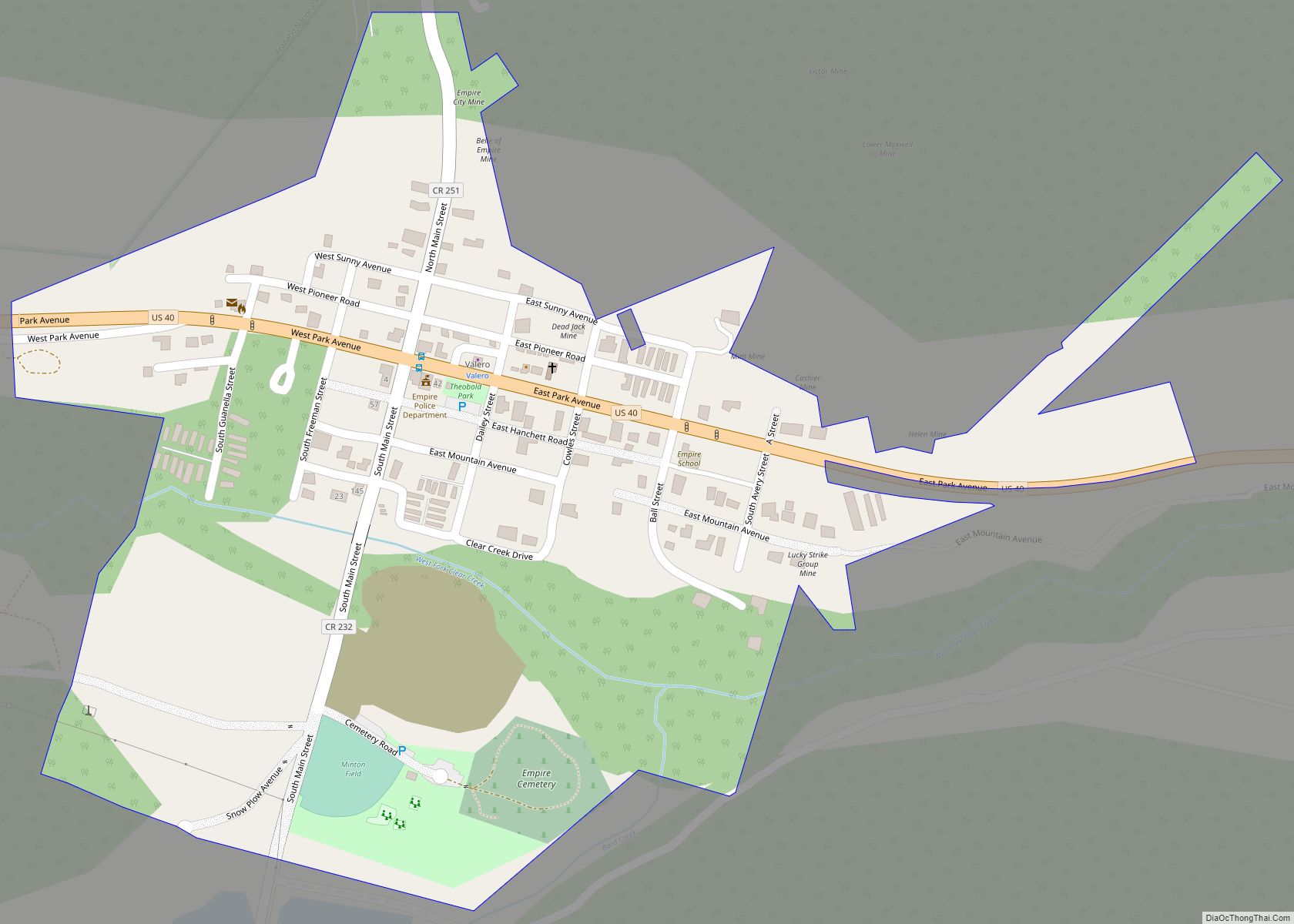
The historic Town of Empire is a Statutory Town located in Clear Creek County, Colorado, United States. The town population was 345 at the 2020 United States Census, a +22.34% increase since the 2010 United States Census. The town is a former mining settlement that flourished during the Colorado Silver Boom in the late 19th century. Empire is now a part of the Denver–Aurora–Lakewood, CO Metropolitan Statistical Area and the Front Range Urban Corridor.
It is located in the valley of Clear Creek west of Denver, on the north side of the valley. The town consists of several commercial establishments and residents. U.S. Highway 40 passes through the town as its ascends towards Berthoud Pass, putting the town on the direct route between Denver and Middle Park.
| Name: | Empire town |
|---|---|
| LSAD Code: | 43 |
| LSAD Description: | town (suffix) |
| State: | Colorado |
| County: | Clear Creek County |
| Incorporated: | April 12, 1882 |
| Elevation: | 8,577 ft (2,614 m) |
| Total Area: | 0.271 sq mi (0.701 km²) |
| Land Area: | 0.268 sq mi (0.695 km²) |
| Water Area: | 0.002 sq mi (0.006 km²) |
| Total Population: | 345 |
| Population Density: | 1,286/sq mi (497/km²) |
| ZIP code: | 80438 |
| Area code: | 303 and 720 |
| FIPS code: | 0824620 |
| GNISfeature ID: | 0181355 |
| Website: | townofempire.colorado.gov |
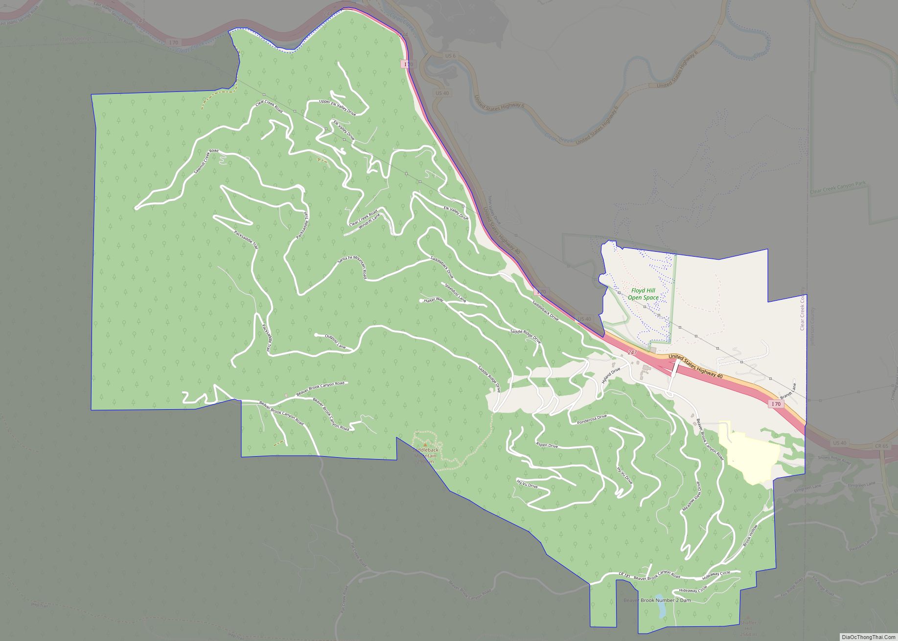
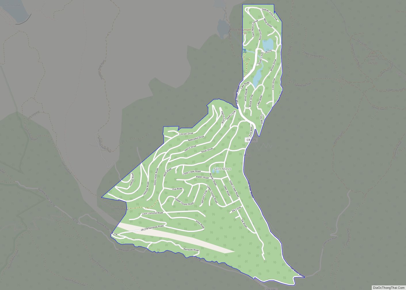
Online Interactive Map
Click on ![]() to view map in "full screen" mode.
to view map in "full screen" mode.
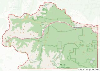
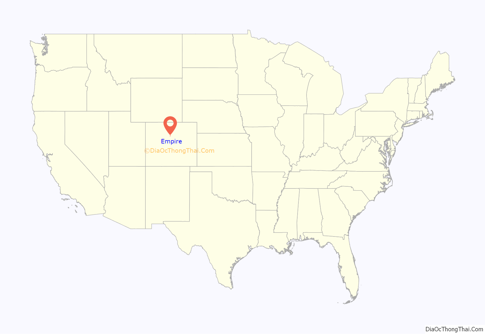
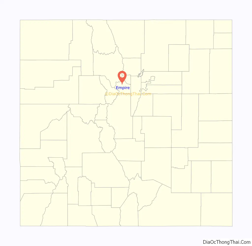
Empire location map. Where is Empire town?
History
A post office called Empire City was established in 1861, and the name was changed to Empire in 1886. The town was named after New York, the “Empire State”. Empire was incorporated in 1882.
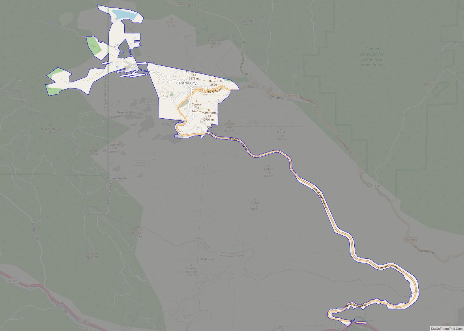
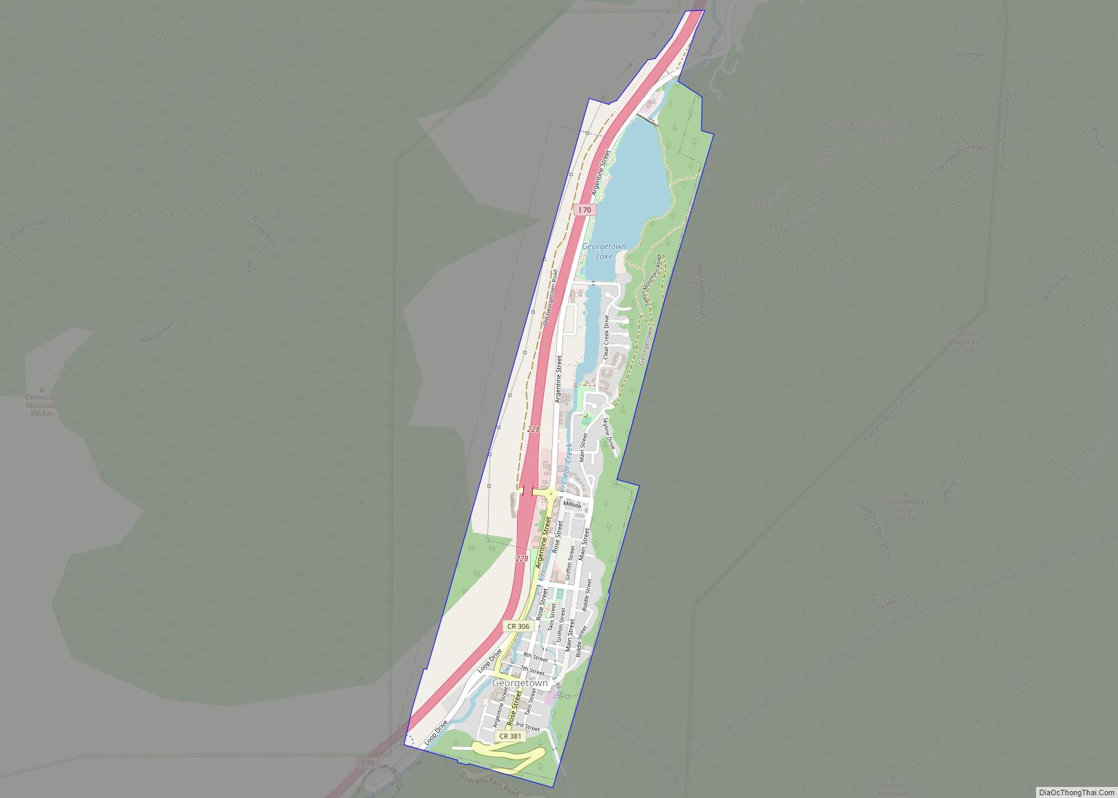
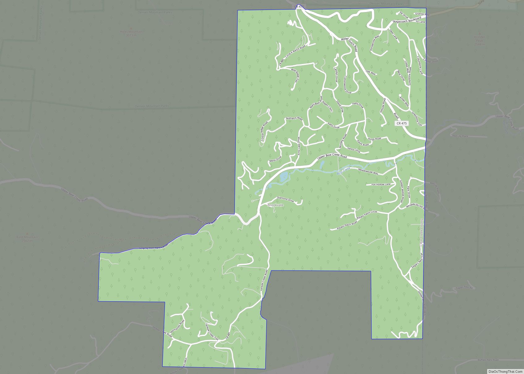
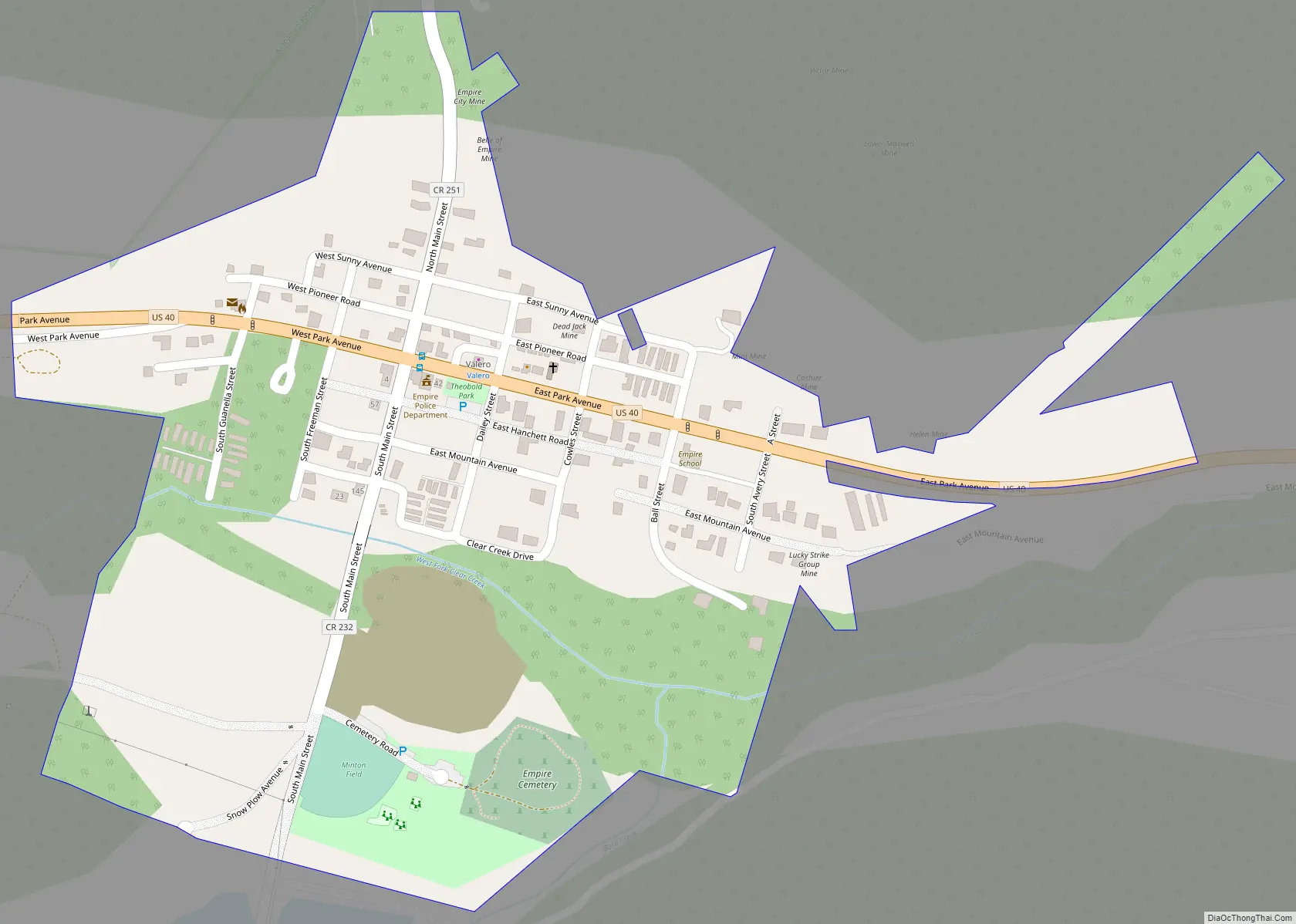
Empire Road Map
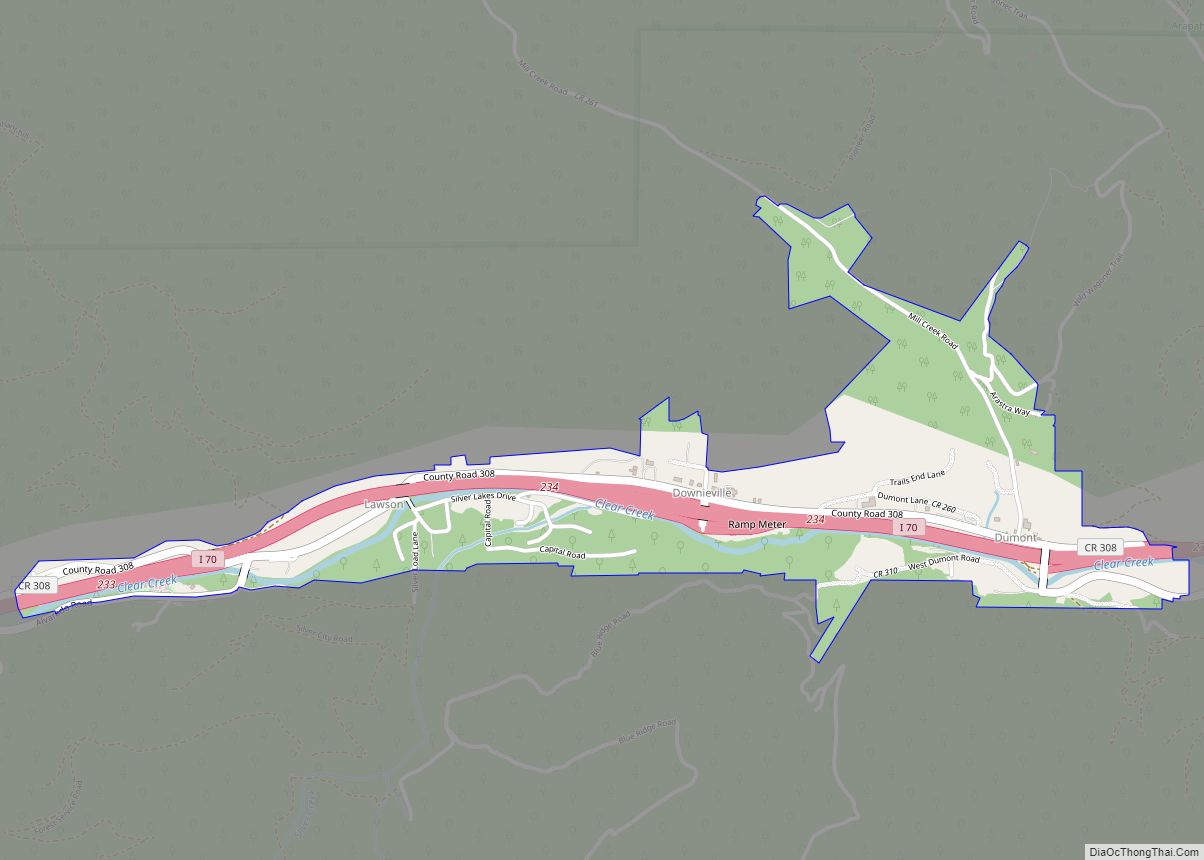
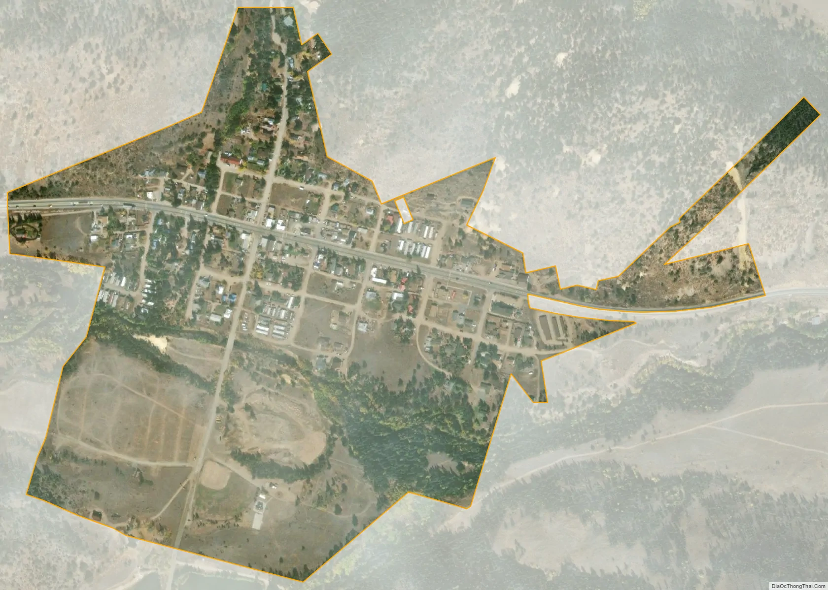
Empire city Satellite Map
Geography
Empire is located in north-central Clear Creek County at 39°45′37″N 105°40′59″W / 39.760319°N 105.682995°W / 39.760319; -105.682995.
West of the town of Empire is a group of high summits along the Continental Divide, including Mount Flora, Mount Eva, Parry Peak, James Peak, Colorado Mines Peak, and Mount Bancroft, named for Frederick J. Bancroft who was noted for his public health and historical work for the state.
At the 2020 United States Census, the town had a total area of 173 acres (0.701 km) including 1.5 acres (0.006 km) of water.
Climate
This climate type is dominated by the winter season, a long, bitterly cold period with short, clear days, relatively little precipitation mostly in the form of snow, and low humidity.
See also
Map of Colorado State and its subdivision:- Adams
- Alamosa
- Arapahoe
- Archuleta
- Baca
- Bent
- Boulder
- Broomfield
- Chaffee
- Cheyenne
- Clear Creek
- Conejos
- Costilla
- Crowley
- Custer
- Delta
- Denver
- Dolores
- Douglas
- Eagle
- El Paso
- Elbert
- Fremont
- Garfield
- Gilpin
- Grand
- Gunnison
- Hinsdale
- Huerfano
- Jackson
- Jefferson
- Kiowa
- Kit Carson
- La Plata
- Lake
- Larimer
- Las Animas
- Lincoln
- Logan
- Mesa
- Mineral
- Moffat
- Montezuma
- Montrose
- Morgan
- Otero
- Ouray
- Park
- Phillips
- Pitkin
- Prowers
- Pueblo
- Rio Blanco
- Rio Grande
- Routt
- Saguache
- San Juan
- San Miguel
- Sedgwick
- Summit
- Teller
- Washington
- Weld
- Yuma
- Alabama
- Alaska
- Arizona
- Arkansas
- California
- Colorado
- Connecticut
- Delaware
- District of Columbia
- Florida
- Georgia
- Hawaii
- Idaho
- Illinois
- Indiana
- Iowa
- Kansas
- Kentucky
- Louisiana
- Maine
- Maryland
- Massachusetts
- Michigan
- Minnesota
- Mississippi
- Missouri
- Montana
- Nebraska
- Nevada
- New Hampshire
- New Jersey
- New Mexico
- New York
- North Carolina
- North Dakota
- Ohio
- Oklahoma
- Oregon
- Pennsylvania
- Rhode Island
- South Carolina
- South Dakota
- Tennessee
- Texas
- Utah
- Vermont
- Virginia
- Washington
- West Virginia
- Wisconsin
- Wyoming