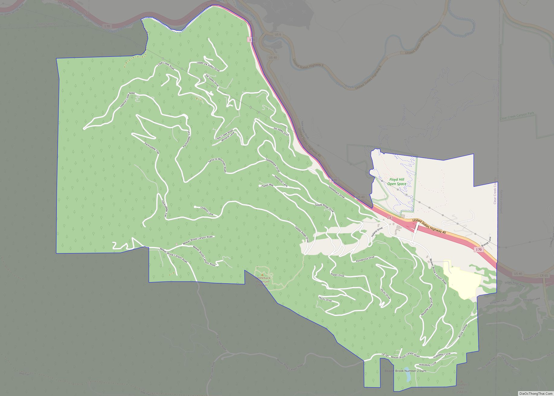
Floyd Hill is an unincorporated community and a census-designated place (CDP) located in and governed by Clear Creek County, Colorado, United States. The CDP is a part of the Denver–Aurora–Lakewood, CO Metropolitan Statistical Area. The population of the Floyd Hill CDP was 1,048 at the United States Census 2020. The Evergreen post office (Zip Code 80439) serves the area.
| Name: | Floyd Hill CDP |
|---|---|
| LSAD Code: | 57 |
| LSAD Description: | CDP (suffix) |
| State: | Colorado |
| County: | Clear Creek County |
| Elevation: | 8,681 ft (2,646 m) |
| Total Area: | 6.293 sq mi (16.298 km²) |
| Land Area: | 6.290 sq mi (16.290 km²) |
| Water Area: | 0.003 sq mi (0.008 km²) |
| Total Population: | 1,048 |
| Population Density: | 170/sq mi (64/km²) |
| ZIP code: | Evergreen 80439 |
| FIPS code: | 0827175 |
Online Interactive Map
Click on ![]() to view map in "full screen" mode.
to view map in "full screen" mode.
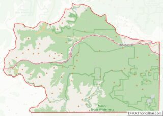
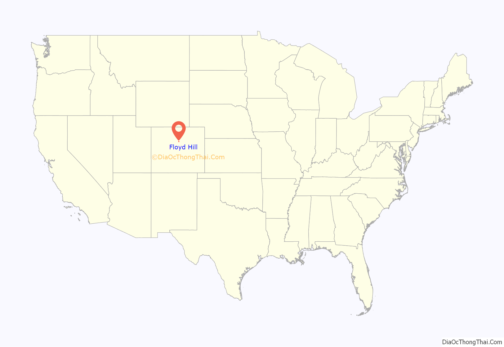
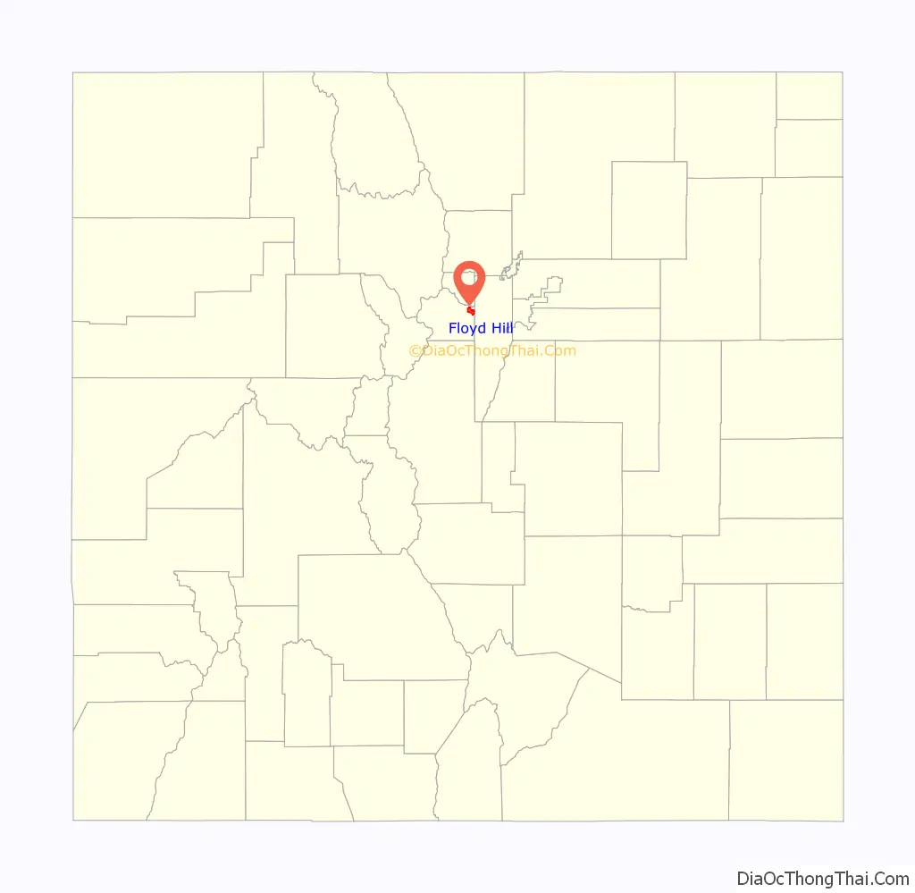
Floyd Hill location map. Where is Floyd Hill CDP?
History
Floyd Hill is named after Merril H. Floyd, head of the Clear Creek Wagon Road Company that operated in the 1860s. Mr. Floyd owned a ranch on a hill in the area and the land around the hill, which became known as “Floyd’s Hill”, where his company built a wagon road over from Idaho Springs to Bergen’s ranch.
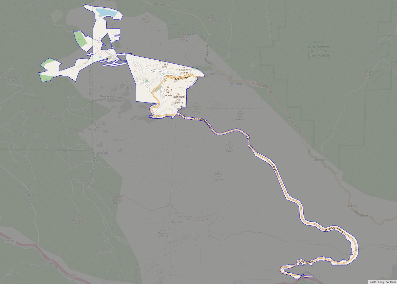
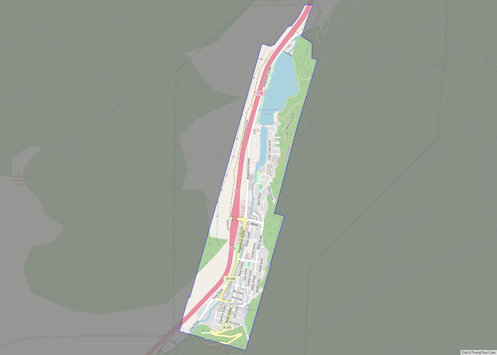
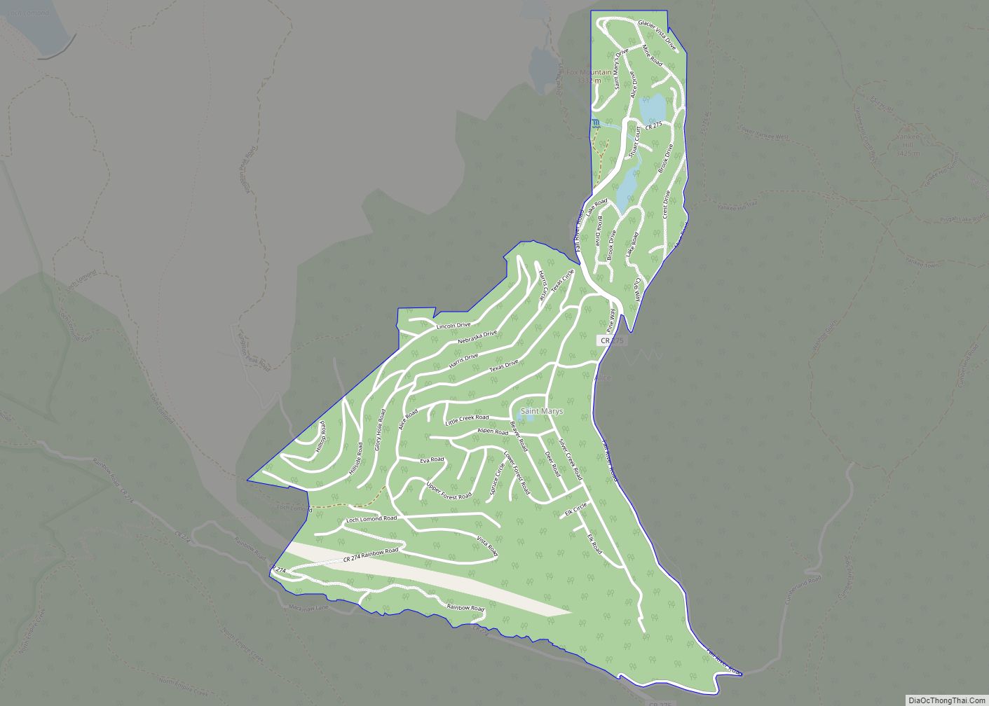
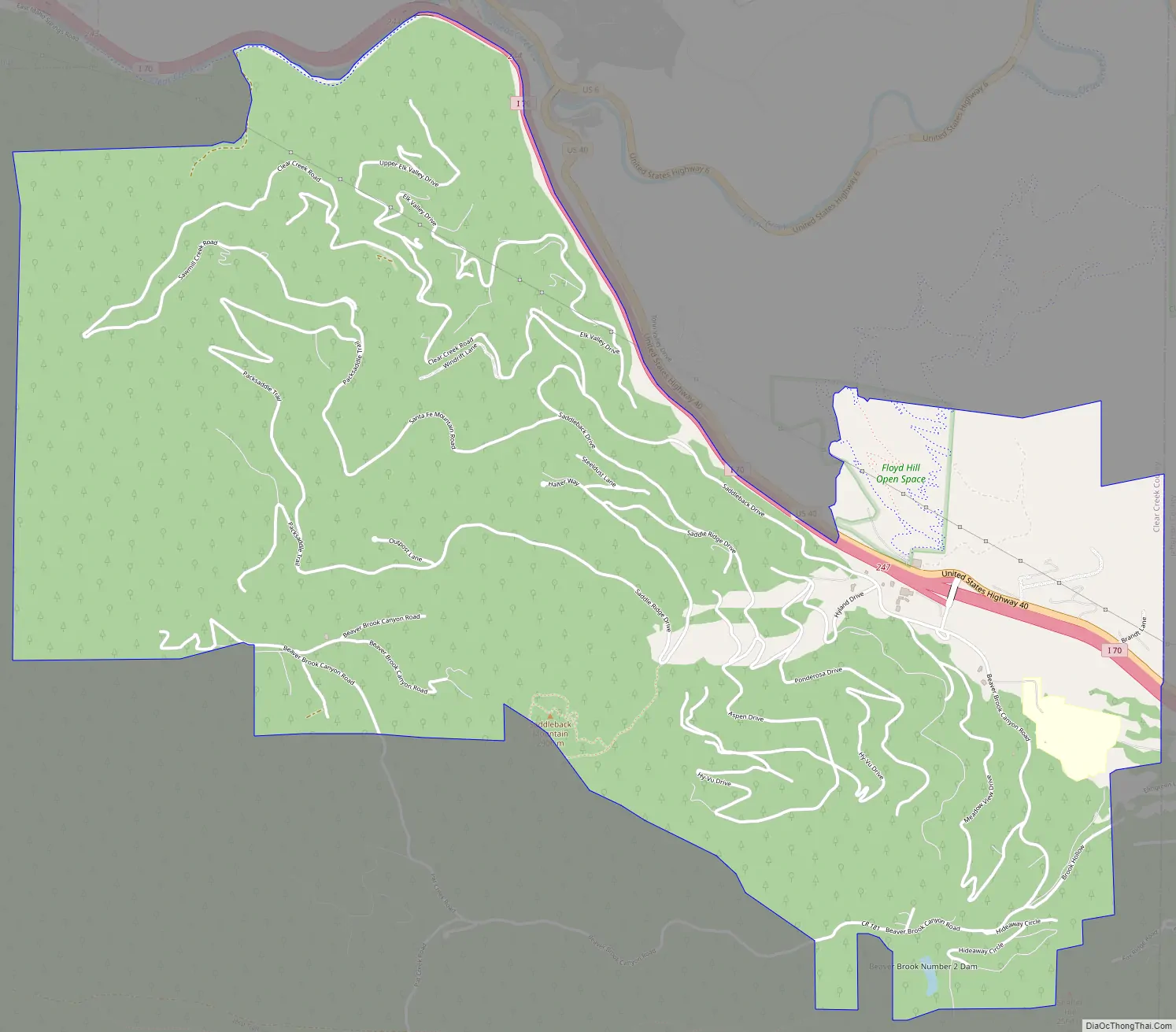
Floyd Hill Road Map
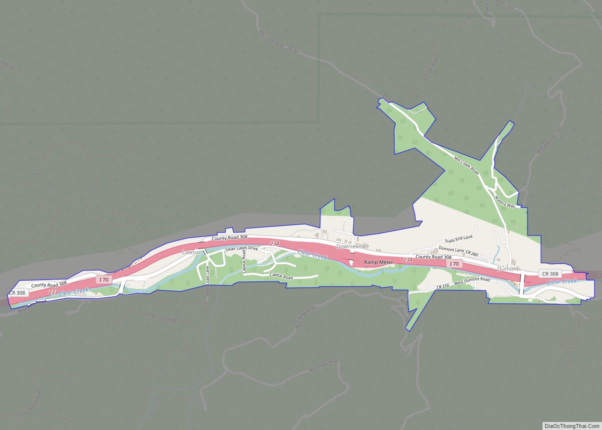
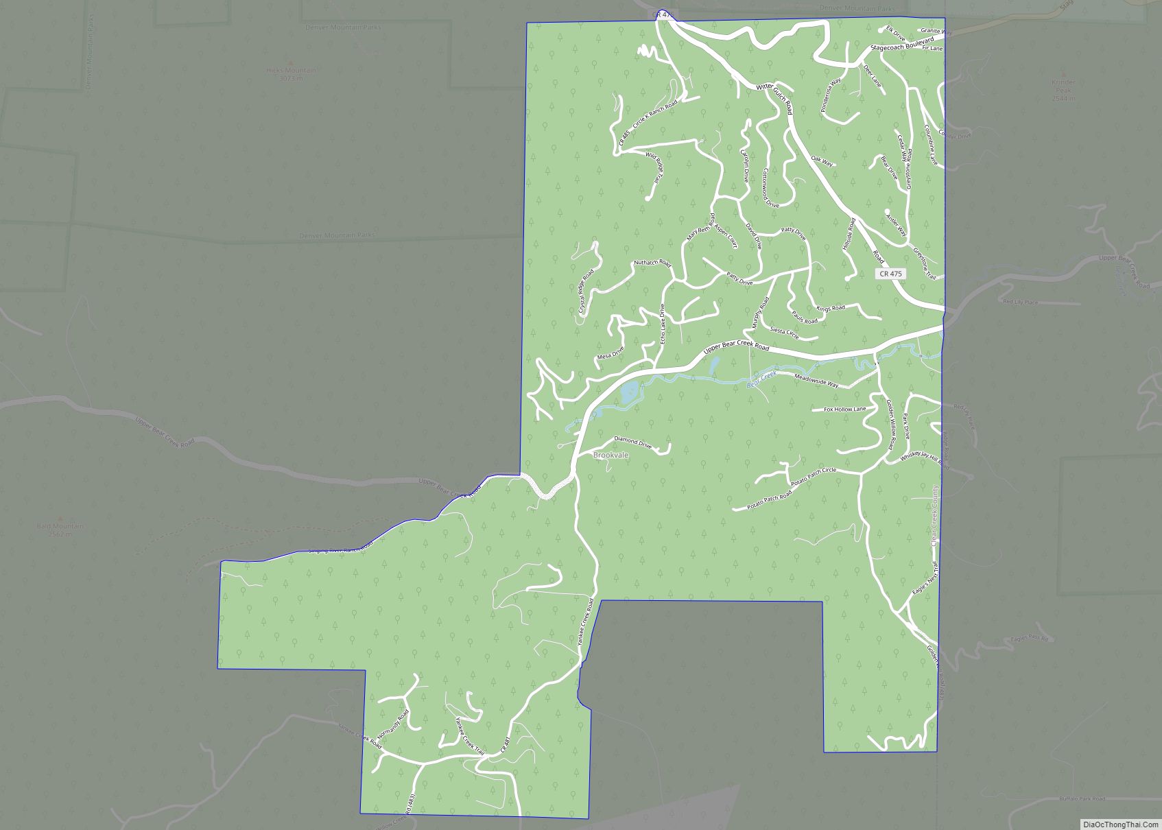
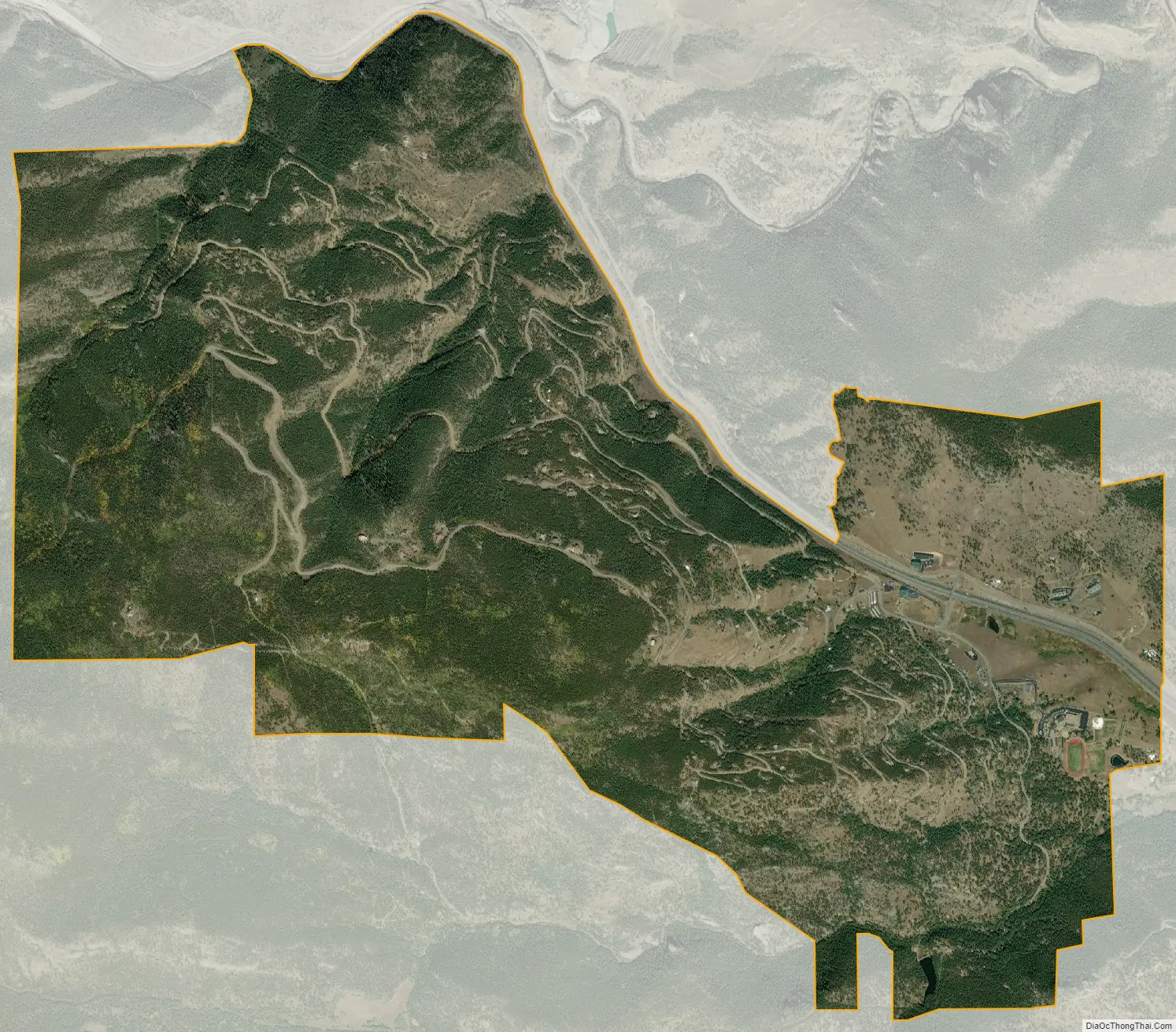
Floyd Hill city Satellite Map
Geography
The Floyd Hill CDP has an area of 4,027 acres (16.298 km), including 2.0 acres (0.008 km) of water.
See also
Map of Colorado State and its subdivision:- Adams
- Alamosa
- Arapahoe
- Archuleta
- Baca
- Bent
- Boulder
- Broomfield
- Chaffee
- Cheyenne
- Clear Creek
- Conejos
- Costilla
- Crowley
- Custer
- Delta
- Denver
- Dolores
- Douglas
- Eagle
- El Paso
- Elbert
- Fremont
- Garfield
- Gilpin
- Grand
- Gunnison
- Hinsdale
- Huerfano
- Jackson
- Jefferson
- Kiowa
- Kit Carson
- La Plata
- Lake
- Larimer
- Las Animas
- Lincoln
- Logan
- Mesa
- Mineral
- Moffat
- Montezuma
- Montrose
- Morgan
- Otero
- Ouray
- Park
- Phillips
- Pitkin
- Prowers
- Pueblo
- Rio Blanco
- Rio Grande
- Routt
- Saguache
- San Juan
- San Miguel
- Sedgwick
- Summit
- Teller
- Washington
- Weld
- Yuma
- Alabama
- Alaska
- Arizona
- Arkansas
- California
- Colorado
- Connecticut
- Delaware
- District of Columbia
- Florida
- Georgia
- Hawaii
- Idaho
- Illinois
- Indiana
- Iowa
- Kansas
- Kentucky
- Louisiana
- Maine
- Maryland
- Massachusetts
- Michigan
- Minnesota
- Mississippi
- Missouri
- Montana
- Nebraska
- Nevada
- New Hampshire
- New Jersey
- New Mexico
- New York
- North Carolina
- North Dakota
- Ohio
- Oklahoma
- Oregon
- Pennsylvania
- Rhode Island
- South Carolina
- South Dakota
- Tennessee
- Texas
- Utah
- Vermont
- Virginia
- Washington
- West Virginia
- Wisconsin
- Wyoming