Gunbarrel is an unincorporated community and a census-designated place (CDP) located in and governed by Boulder County, Colorado, United States. The CDP is a part of the Boulder, CO Metropolitan Statistical Area. The population of the Gunbarrel CDP was 9,554 at the United States Census 2020. The Boulder post office (Zip Code 80301) and Longmont and Niwot post offices (Zip Code 80503) serve the area.
| Name: | Gunbarrel CDP |
|---|---|
| LSAD Code: | 57 |
| LSAD Description: | CDP (suffix) |
| State: | Colorado |
| County: | Boulder County |
| Founded: | 1965 |
| Elevation: | 5,285 ft (1,611 m) |
| Total Area: | 6.309 sq mi (16.340 km²) |
| Land Area: | 6.249 sq mi (16.185 km²) |
| Water Area: | 0.060 sq mi (0.155 km²) |
| Total Population: | 9,554 |
| Population Density: | 1,500/sq mi (580/km²) |
| ZIP code: | Boulder 80301#&Niwot 80503 |
| FIPS code: | 0833502 |
Online Interactive Map
Click on ![]() to view map in "full screen" mode.
to view map in "full screen" mode.
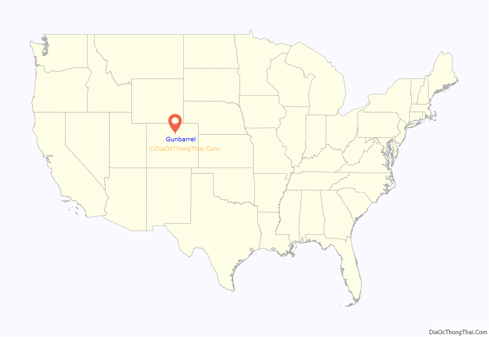
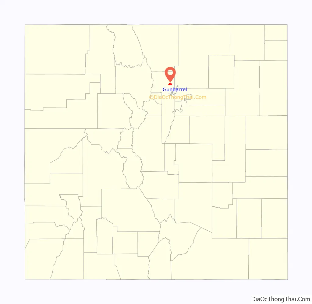
Gunbarrel location map. Where is Gunbarrel CDP?
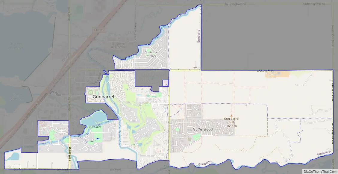
Gunbarrel Road Map
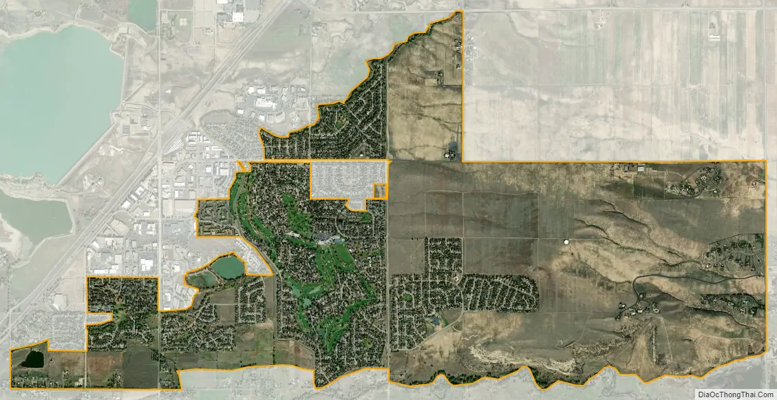
Gunbarrel city Satellite Map
Geography
Gunbarrel is northeast of the city of Boulder proper, separated by a buffer area of private agricultural lands and publicly owned open space. The buffer areas provide over two miles (3 km) of separation over changing elevations. This reduces the impact of the Boulder Municipal Airport and the Boulder County Sheriff’s Department facilities (including the county jail), which are located on the southern side of the buffer.
Two reservoirs operated by the Boulder and Left Hand Irrigation Company are located in central Gunbarrel. Irrigation ditches and canals, including the Boulder and Whiterock Ditch, pass through this primarily residential area. The Twin Lakes Open Space, a large park which includes the two reservoirs and extends west along the ditch, is operated by the Boulder County Parks and Open Space Department. The park brings protected wetlands, jogging trails and green spaces directly into the urban area. The City of Boulder operates Eaton Park, adjacent to the west lake. Eaton Park includes picnic facilities, BMX jumps and additional protected wetland. Flood control facilities are integral to the reservoir and canal systems, but they do not eliminate the flood risk to adjacent development.
The Gunbarrel CDP has an area of 4,038 acres (16.340 km), including 38 acres (0.155 km) of water.
Natural hazards
The principal natural hazard in Gunbarrel is flooding. The county Transportation Department provides floodplain information through an online request page, free of charge for property owners in the unincorporated areas of the county, including Gunbarrel. Boulder County participates in the National Flood Insurance Program which allows some reduction in the cost of flood insurance for residents.
Climate
See also
Map of Colorado State and its subdivision:- Adams
- Alamosa
- Arapahoe
- Archuleta
- Baca
- Bent
- Boulder
- Broomfield
- Chaffee
- Cheyenne
- Clear Creek
- Conejos
- Costilla
- Crowley
- Custer
- Delta
- Denver
- Dolores
- Douglas
- Eagle
- El Paso
- Elbert
- Fremont
- Garfield
- Gilpin
- Grand
- Gunnison
- Hinsdale
- Huerfano
- Jackson
- Jefferson
- Kiowa
- Kit Carson
- La Plata
- Lake
- Larimer
- Las Animas
- Lincoln
- Logan
- Mesa
- Mineral
- Moffat
- Montezuma
- Montrose
- Morgan
- Otero
- Ouray
- Park
- Phillips
- Pitkin
- Prowers
- Pueblo
- Rio Blanco
- Rio Grande
- Routt
- Saguache
- San Juan
- San Miguel
- Sedgwick
- Summit
- Teller
- Washington
- Weld
- Yuma
- Alabama
- Alaska
- Arizona
- Arkansas
- California
- Colorado
- Connecticut
- Delaware
- District of Columbia
- Florida
- Georgia
- Hawaii
- Idaho
- Illinois
- Indiana
- Iowa
- Kansas
- Kentucky
- Louisiana
- Maine
- Maryland
- Massachusetts
- Michigan
- Minnesota
- Mississippi
- Missouri
- Montana
- Nebraska
- Nevada
- New Hampshire
- New Jersey
- New Mexico
- New York
- North Carolina
- North Dakota
- Ohio
- Oklahoma
- Oregon
- Pennsylvania
- Rhode Island
- South Carolina
- South Dakota
- Tennessee
- Texas
- Utah
- Vermont
- Virginia
- Washington
- West Virginia
- Wisconsin
- Wyoming


