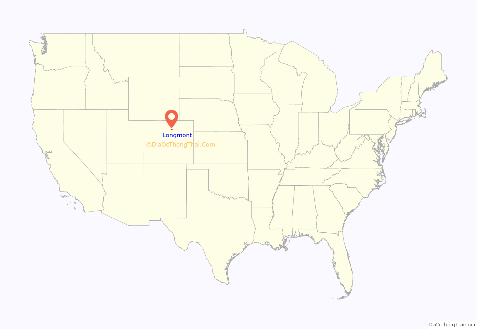
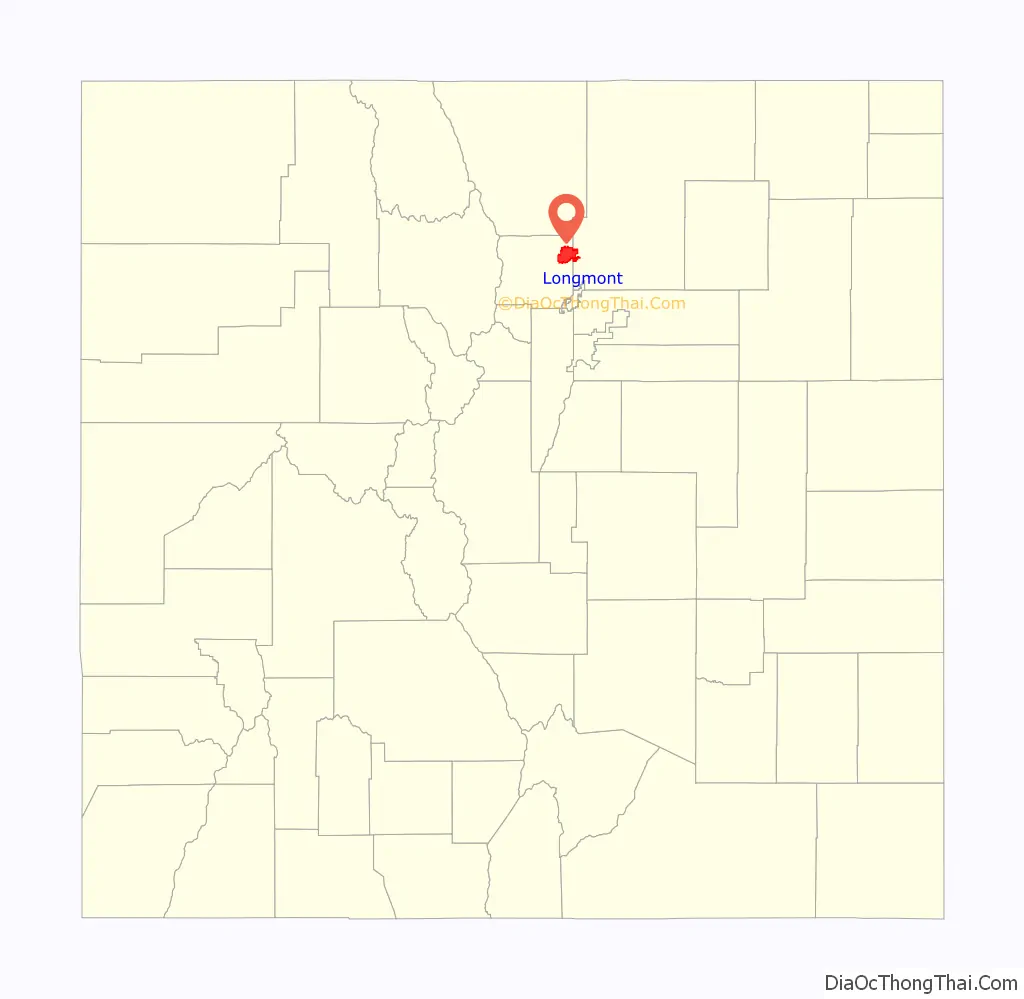
Longmont is a home rule municipality located in Boulder and Weld counties, Colorado, United States. Longmont is located northeast of the county seat of Boulder and 33 miles (53 km) north-northwest of the Colorado State Capitol in Denver.
Longmont’s population was 98,885 as of the 2020 U.S. Census.
Longmont is named after Longs Peak, a prominent mountain named for explorer Stephen H. Long that is clearly visible from Longmont, and “mont”, from the French word “montagne” for mountain.
| Name: | Longmont city |
|---|---|
| LSAD Code: | 25 |
| LSAD Description: | city (suffix) |
| State: | Colorado |
| County: | Boulder County, Weld County |
| Founded: | 1871 |
| Incorporated: | November 15, 1885 |
| Elevation: | 4,984 ft (1,519 m) |
| Total Area: | 30.40 sq mi (78.74 km²) |
| Land Area: | 28.76 sq mi (74.49 km²) |
| Water Area: | 1.64 sq mi (4.26 km²) |
| Total Population: | 98,885 |
| Population Density: | 3,381.70/sq mi (1,305.70/km²) |
| ZIP code: | 80501-80504 |
| Area code: | 303/720 |
| FIPS code: | 0845970 |
| GNISfeature ID: | 0202560 |
| Website: | www.longmontcolorado.gov |
Online Interactive Map
Click on ![]() to view map in "full screen" mode.
to view map in "full screen" mode.
Longmont location map. Where is Longmont city?
History
Longmont was founded in 1871 by a group of people from Chicago, Illinois. Originally called the Chicago-Colorado Colony, led by president Robert Collyer, the men sold memberships in the town, purchasing the land necessary for the town hall with the proceeds. As the first planned community in Boulder County, the city streets were laid out in a grid plan within a square mile. The city began to flourish as an agricultural community after the Colorado Central Railroad line arrived northward from Boulder in 1877. During the 1940s, Longmont began to grow beyond these original limits.
In 1925, the Ku Klux Klan gained control of Longmont ‘s City Council in an election. They began construction of a large pork-barrel project, Chimney Rock Dam, above Lyons and marched up and down Main Street in their costumes. In the 1927 election they were voted out of office, and their influence soon declined. Work on Chimney Rock Dam was abandoned as unfeasible, and its foundations are still visible in the St. Vrain River.
In 1955, United Airlines Flight 629 exploded over Longmont, killing 44 passengers and crew.
During the 1960s, the federal government built the Denver Air Route Traffic Control Center in Longmont, and IBM built a manufacturing and development campus near Longmont. As agriculture waned, more high technology has come to the city, including companies like Seagate and Amgen; Amgen closed its Longmont campus in 2015. In April 2009, the GE Energy Company relocated its control solutions business to the area.
The downtown along Main Street, once nearly dead during the 1980s, has seen a vibrant revival in the 1990s and into the 21st century. During the mid-1990s, the southern edge of Longmont became the location of the first New Urbanist project in Colorado, called Prospect New Town, designed by the architects Andrés Duany and Elizabeth Plater-Zyberk.
Longmont was the site of Colorado’s first library, founded in 1871 by Elizabeth Rowell Thompson, though it lasted up to a year before its collection of 300 books was lost. Following this, Longmont also was the site of one of Carnegie’s libraries with the single-story structure being opened in 1913. It remained open until August 7, 1972 when, due to overcrowding with approximately 22,000 books within the space, it was closed just a week before the new library that had been constructed next door was opened.
In May 2013, the Longmont City Council voted to finance and build out its own municipal gigabit data fiber-optic network, known as NextLight, to every house and business over a three-year period starting in late 2013.
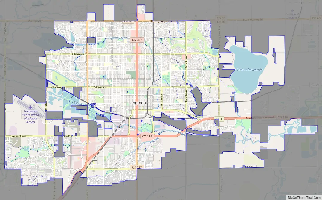
Longmont Road Map
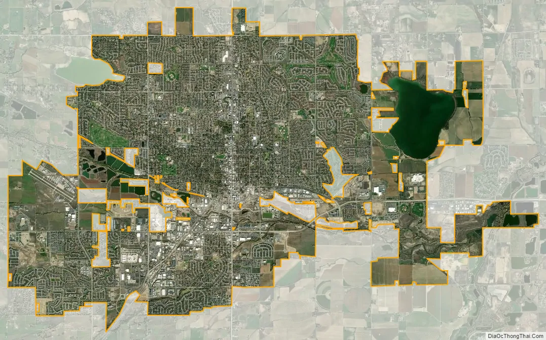
Longmont city Satellite Map
Geography
Longmont is located in northeastern Boulder County at 40°10′18″N 105°06′33″W / 40.171583°N 105.109085°W / 40.171583; -105.109085. The city extends eastward into western Weld County. U.S. Highway 287 (Main Street) runs through the center of the city, leading north 16 miles (26 km) to Loveland and south 34 miles (55 km) to downtown Denver. State Highway 119 passes through the city south of downtown and leads southwest 15 miles (24 km) to Boulder and east 5 miles (8 km) to Interstate 25.
The elevation at City Hall is 4,978 feet (1,517 m) above sea level. St. Vrain Creek, a tributary of the South Platte River, flows through the city just south of the city center.
According to the U.S. Census Bureau, Longmont has a total area of 27.6 square miles (71.6 km), of which 26.2 square miles (67.8 km) is land and 1.5 square miles (3.8 km), or 5.30%, is water.
See also
Map of Colorado State and its subdivision:- Adams
- Alamosa
- Arapahoe
- Archuleta
- Baca
- Bent
- Boulder
- Broomfield
- Chaffee
- Cheyenne
- Clear Creek
- Conejos
- Costilla
- Crowley
- Custer
- Delta
- Denver
- Dolores
- Douglas
- Eagle
- El Paso
- Elbert
- Fremont
- Garfield
- Gilpin
- Grand
- Gunnison
- Hinsdale
- Huerfano
- Jackson
- Jefferson
- Kiowa
- Kit Carson
- La Plata
- Lake
- Larimer
- Las Animas
- Lincoln
- Logan
- Mesa
- Mineral
- Moffat
- Montezuma
- Montrose
- Morgan
- Otero
- Ouray
- Park
- Phillips
- Pitkin
- Prowers
- Pueblo
- Rio Blanco
- Rio Grande
- Routt
- Saguache
- San Juan
- San Miguel
- Sedgwick
- Summit
- Teller
- Washington
- Weld
- Yuma
- Alabama
- Alaska
- Arizona
- Arkansas
- California
- Colorado
- Connecticut
- Delaware
- District of Columbia
- Florida
- Georgia
- Hawaii
- Idaho
- Illinois
- Indiana
- Iowa
- Kansas
- Kentucky
- Louisiana
- Maine
- Maryland
- Massachusetts
- Michigan
- Minnesota
- Mississippi
- Missouri
- Montana
- Nebraska
- Nevada
- New Hampshire
- New Jersey
- New Mexico
- New York
- North Carolina
- North Dakota
- Ohio
- Oklahoma
- Oregon
- Pennsylvania
- Rhode Island
- South Carolina
- South Dakota
- Tennessee
- Texas
- Utah
- Vermont
- Virginia
- Washington
- West Virginia
- Wisconsin
- Wyoming


