The Town of Hartman is a Statutory Town in Prowers County, Colorado, United States. The town population was 56 at the 2020 United States Census. The town is located North of SH-196. The town has one historic site, the old Hartman Gymnasium. The circa 1938 gymnasium is associated with New Deal programs in Prowers County. The building is the only example of Works Progress Administration construction in Hartman and one of only a few such projects in the county. Its use as a community center continues to contribute to the social history of Hartman.
| Name: | Hartman town |
|---|---|
| LSAD Code: | 43 |
| LSAD Description: | town (suffix) |
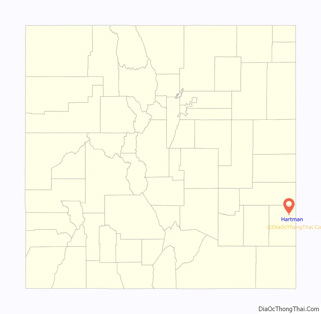
| State: | Colorado |
| County: | Prowers County |
| Elevation: | 3,615 ft (1,102 m) |
| Total Area: | 0.275 sq mi (0.711 km²) |
| Land Area: | 0.275 sq mi (0.711 km²) |
| Water Area: | 0.000 sq mi (0.000 km²) |
| Total Population: | 56 |
| Population Density: | 204/sq mi (79/km²) |
| ZIP code: | 81043 (PO Box) |
| Area code: | 719 |
| FIPS code: | 0834520 |
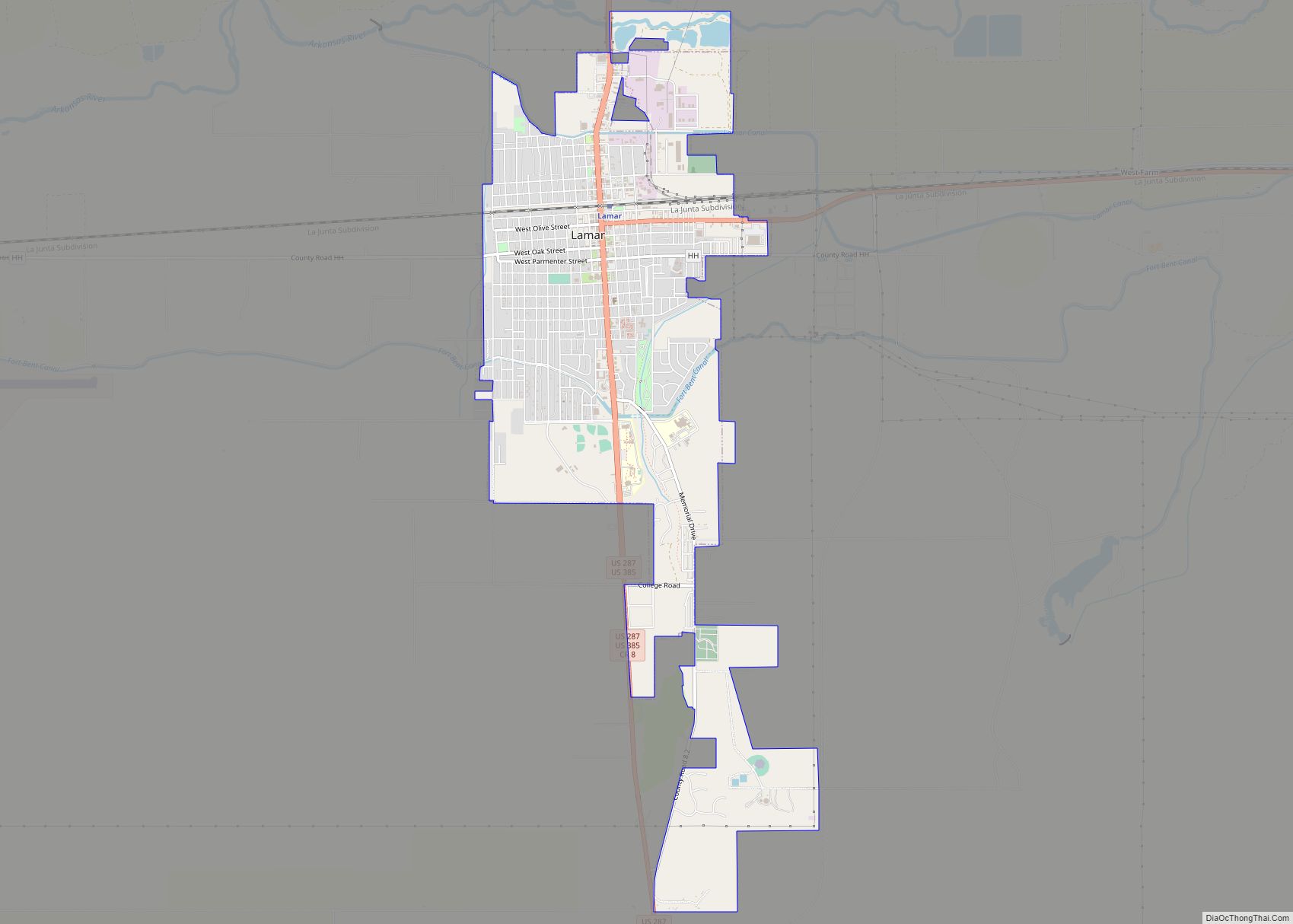
Online Interactive Map
Click on ![]() to view map in "full screen" mode.
to view map in "full screen" mode.
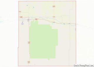
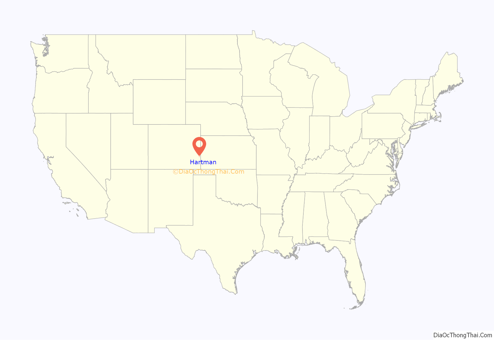
Hartman location map. Where is Hartman town?
History
A post office called Hartman has been in operation since 1908. The community was named after W. P. Hartman, a railroad official.
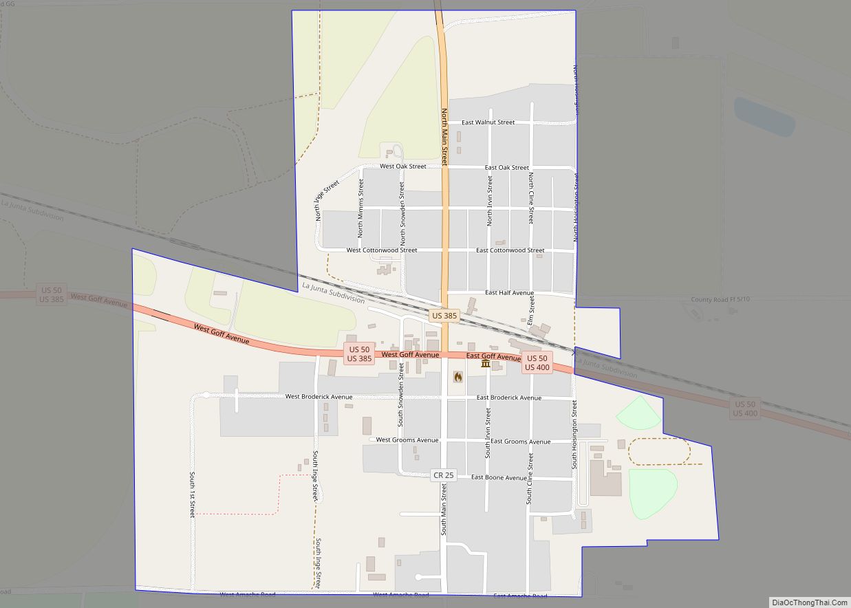
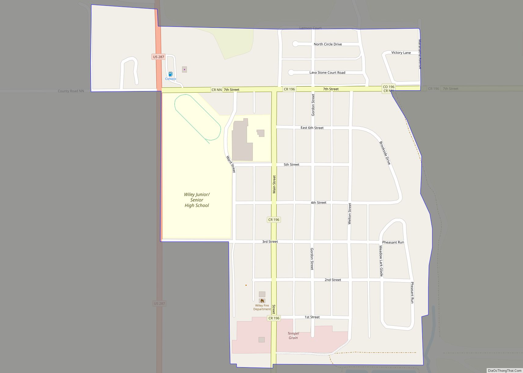
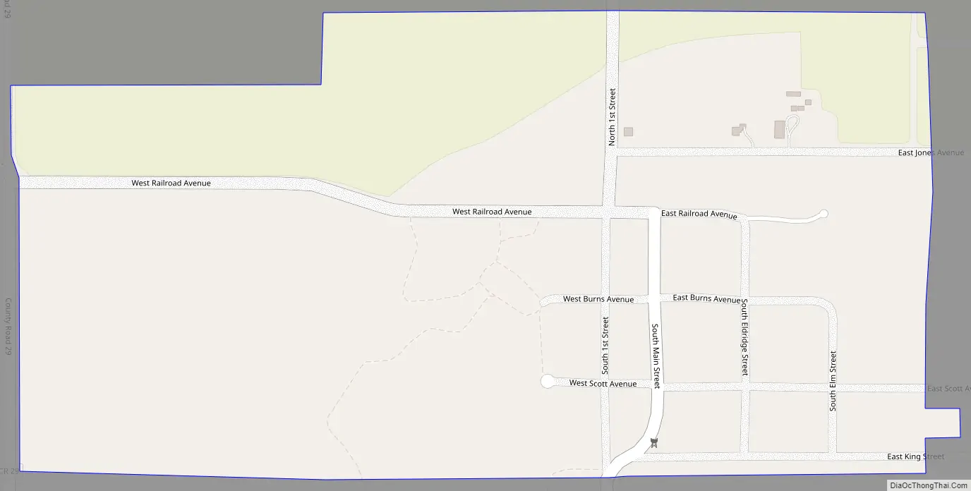
Hartman Road Map
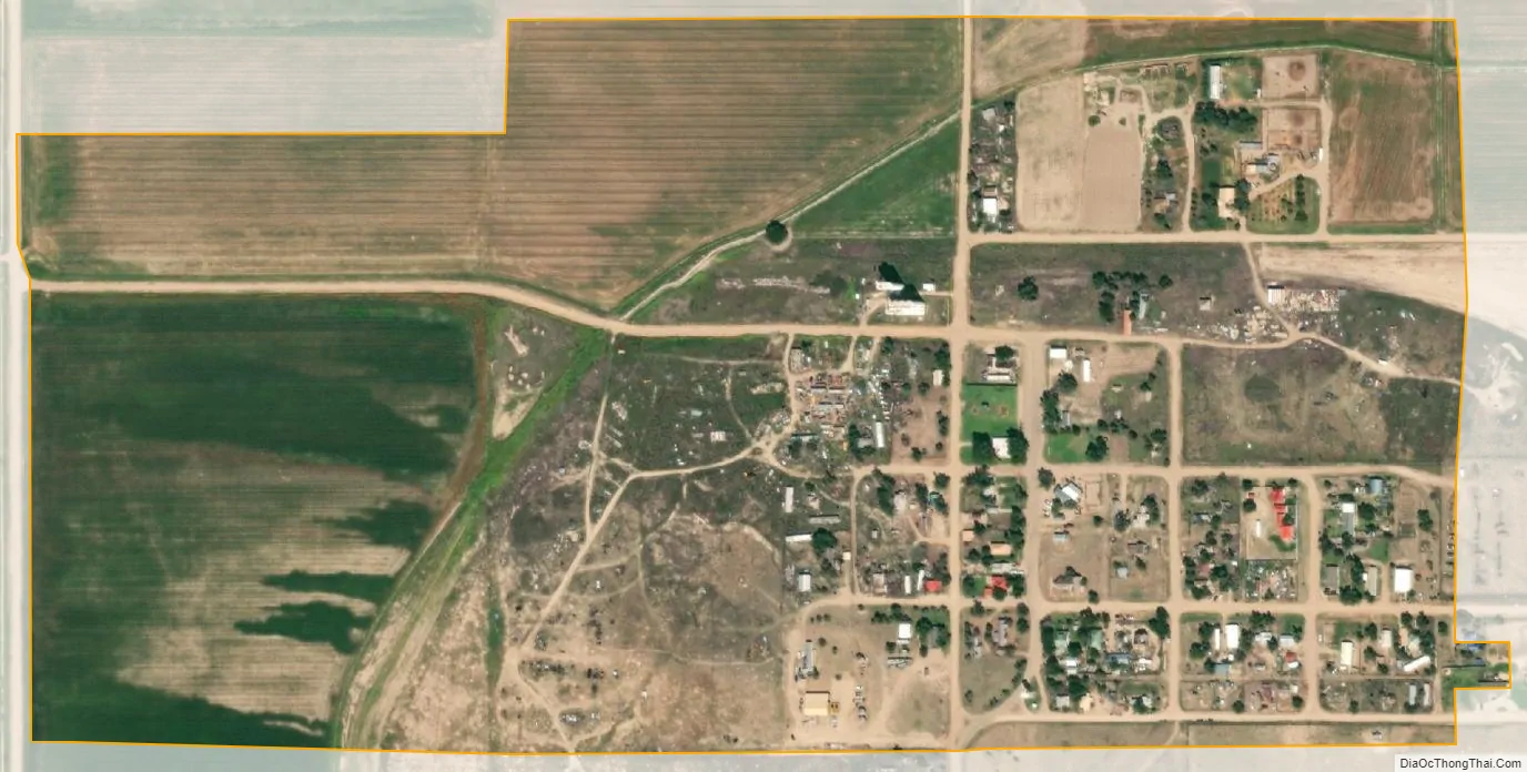
Hartman city Satellite Map
Geography
Hartman is located at 38°07′12″N 102°13′13″W / 38.119966°N 102.220269°W / 38.119966; -102.220269,
At the 2020 United States Census, the town had a total area of 176 acres (0.711 km), all of it land.
See also
Map of Colorado State and its subdivision:- Adams
- Alamosa
- Arapahoe
- Archuleta
- Baca
- Bent
- Boulder
- Broomfield
- Chaffee
- Cheyenne
- Clear Creek
- Conejos
- Costilla
- Crowley
- Custer
- Delta
- Denver
- Dolores
- Douglas
- Eagle
- El Paso
- Elbert
- Fremont
- Garfield
- Gilpin
- Grand
- Gunnison
- Hinsdale
- Huerfano
- Jackson
- Jefferson
- Kiowa
- Kit Carson
- La Plata
- Lake
- Larimer
- Las Animas
- Lincoln
- Logan
- Mesa
- Mineral
- Moffat
- Montezuma
- Montrose
- Morgan
- Otero
- Ouray
- Park
- Phillips
- Pitkin
- Prowers
- Pueblo
- Rio Blanco
- Rio Grande
- Routt
- Saguache
- San Juan
- San Miguel
- Sedgwick
- Summit
- Teller
- Washington
- Weld
- Yuma
- Alabama
- Alaska
- Arizona
- Arkansas
- California
- Colorado
- Connecticut
- Delaware
- District of Columbia
- Florida
- Georgia
- Hawaii
- Idaho
- Illinois
- Indiana
- Iowa
- Kansas
- Kentucky
- Louisiana
- Maine
- Maryland
- Massachusetts
- Michigan
- Minnesota
- Mississippi
- Missouri
- Montana
- Nebraska
- Nevada
- New Hampshire
- New Jersey
- New Mexico
- New York
- North Carolina
- North Dakota
- Ohio
- Oklahoma
- Oregon
- Pennsylvania
- Rhode Island
- South Carolina
- South Dakota
- Tennessee
- Texas
- Utah
- Vermont
- Virginia
- Washington
- West Virginia
- Wisconsin
- Wyoming