Hasty is an unincorporated town, a post office, and a census-designated place (CDP) located in and governed by Bent County, Colorado, United States. The Hasty post office has the ZIP code 81044. At the United States Census 2020, the population of the Hasty CDP was 182.
| Name: | Hasty CDP |
|---|---|
| LSAD Code: | 57 |
| LSAD Description: | CDP (suffix) |
| State: | Colorado |
| County: | Bent County |
| Elevation: | 3,898 ft (1,188 m) |
| Total Area: | 2.754 sq mi (7.132 km²) |
| Land Area: | 2.753 sq mi (7.131 km²) |
| Water Area: | 0.0002 sq mi (0.0006 km²) |
| Total Population: | 182 |
| Population Density: | 66/sq mi (26/km²) |
| ZIP code: | 81044 |
| Area code: | 719 |
| FIPS code: | 0834685 |
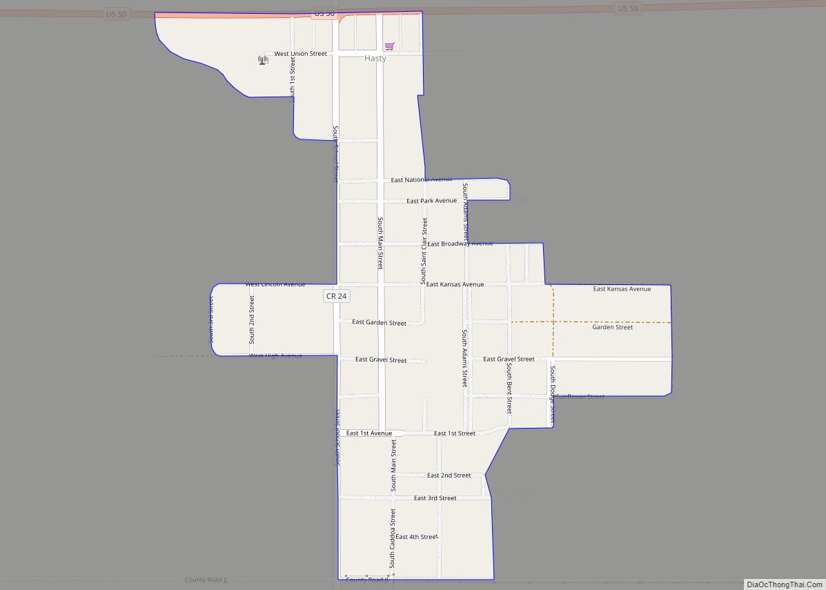
Online Interactive Map
Click on ![]() to view map in "full screen" mode.
to view map in "full screen" mode.
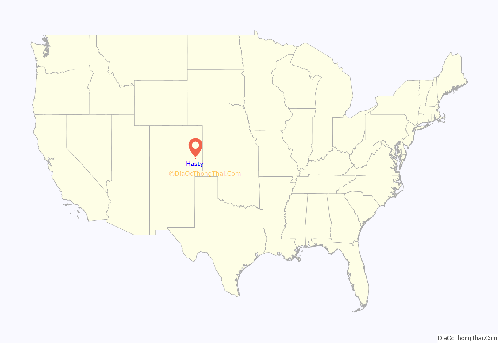
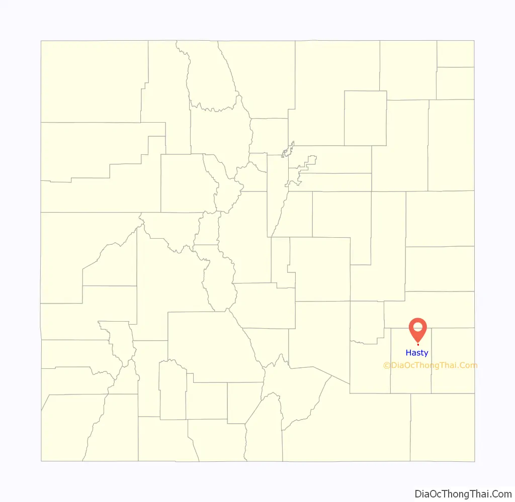
Hasty location map. Where is Hasty CDP?
History
The Hasty post office has been in operation since 1910. The community was named after Lon Hasty, a pioneer settler.
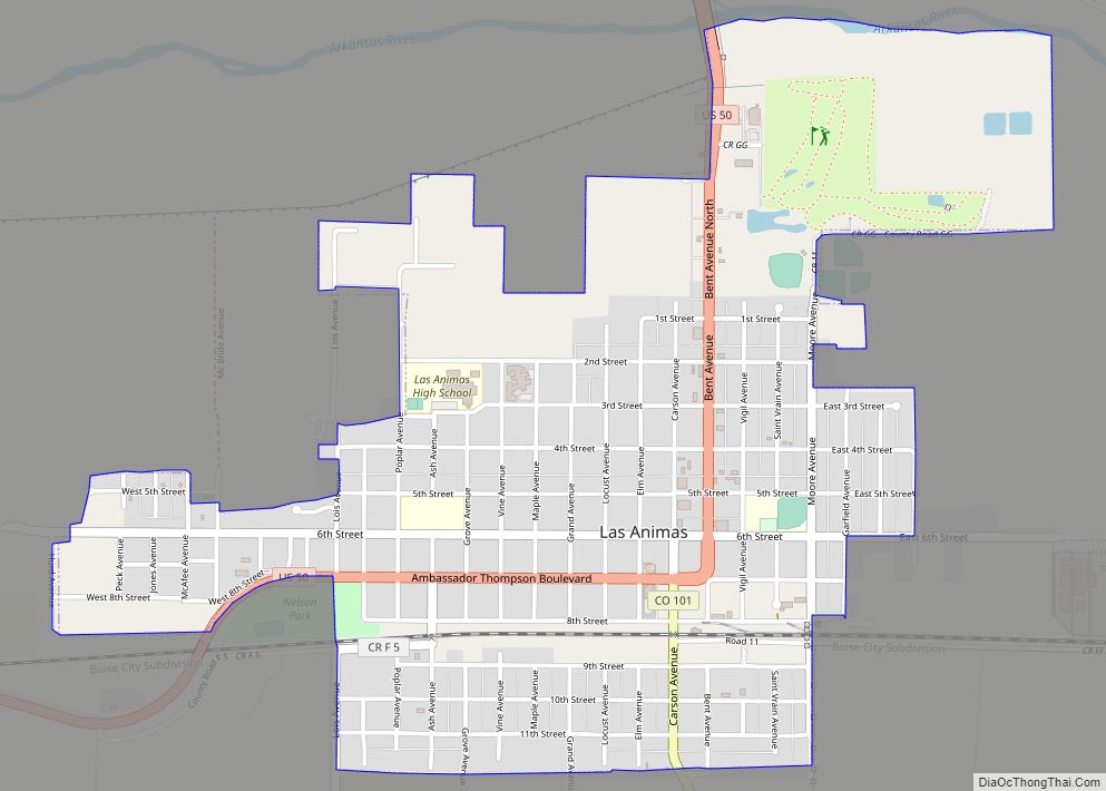
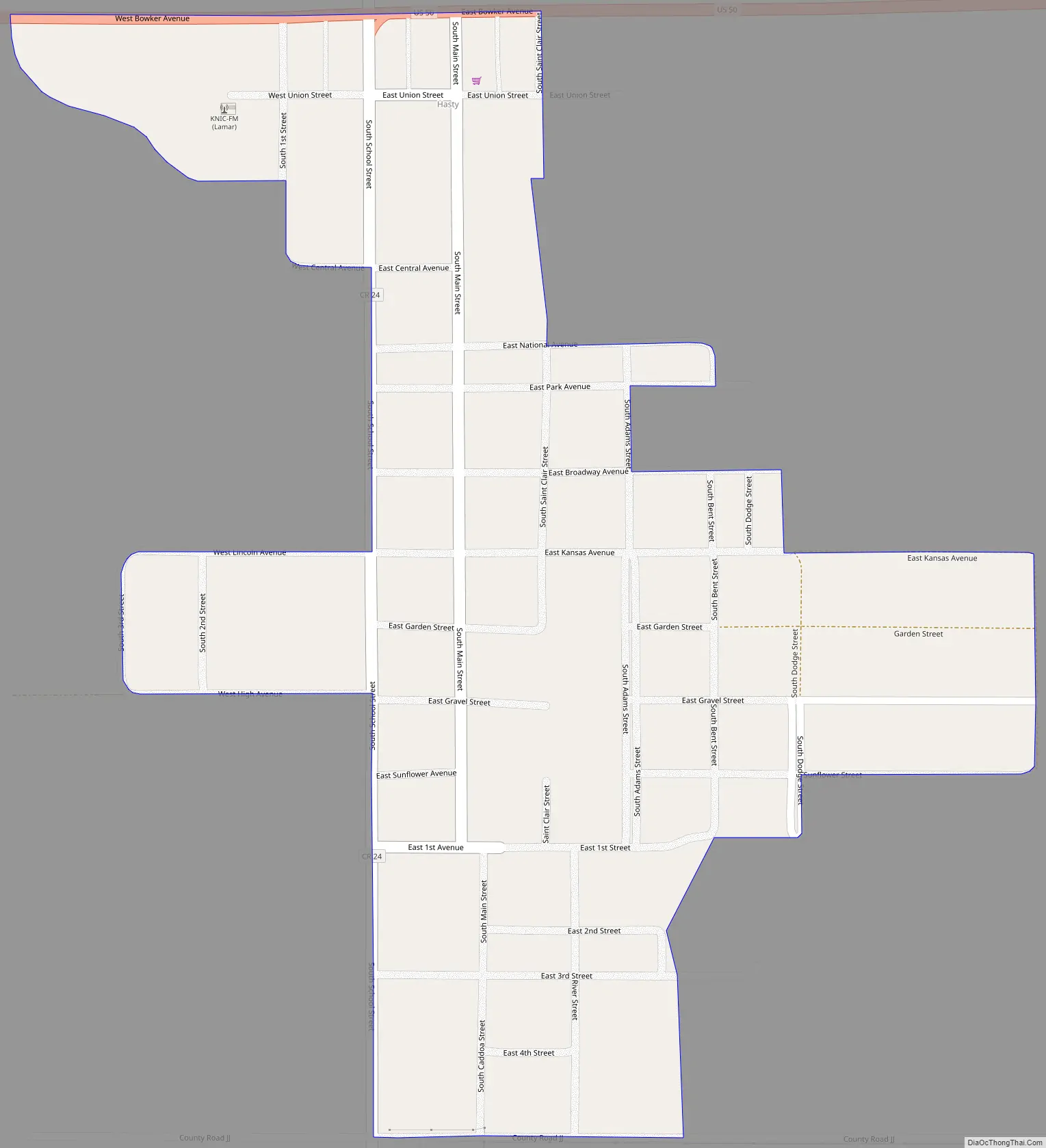
Hasty Road Map
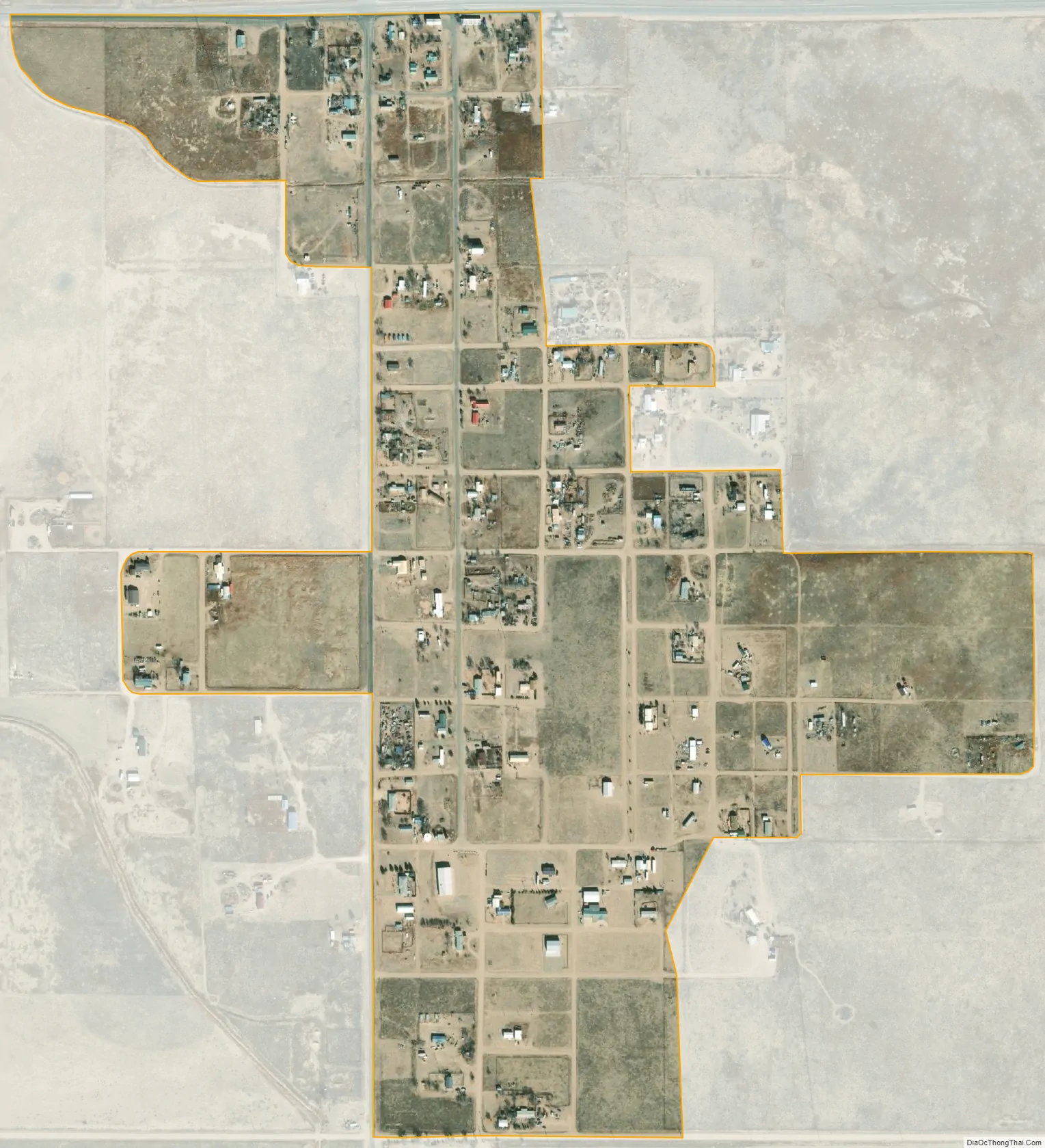
Hasty city Satellite Map
Geography
Hasty is located in northeast Bent County at 38°06′45″N 102°57′26″W / 38.11250°N 102.95722°W / 38.11250; -102.95722 (38.112410,-102.957344), just north of the dam for John Martin Reservoir on the Arkansas River. U.S. Highway 50 passes through the community, leading west 16 miles (26 km) to Las Animas, the county seat, and east 20 miles (32 km) to Lamar.
The Hasty CDP has an area of 1,762 acres (7.132 km), including 0.25 acres (0.001 km) of water.
See also
Map of Colorado State and its subdivision:- Adams
- Alamosa
- Arapahoe
- Archuleta
- Baca
- Bent
- Boulder
- Broomfield
- Chaffee
- Cheyenne
- Clear Creek
- Conejos
- Costilla
- Crowley
- Custer
- Delta
- Denver
- Dolores
- Douglas
- Eagle
- El Paso
- Elbert
- Fremont
- Garfield
- Gilpin
- Grand
- Gunnison
- Hinsdale
- Huerfano
- Jackson
- Jefferson
- Kiowa
- Kit Carson
- La Plata
- Lake
- Larimer
- Las Animas
- Lincoln
- Logan
- Mesa
- Mineral
- Moffat
- Montezuma
- Montrose
- Morgan
- Otero
- Ouray
- Park
- Phillips
- Pitkin
- Prowers
- Pueblo
- Rio Blanco
- Rio Grande
- Routt
- Saguache
- San Juan
- San Miguel
- Sedgwick
- Summit
- Teller
- Washington
- Weld
- Yuma
- Alabama
- Alaska
- Arizona
- Arkansas
- California
- Colorado
- Connecticut
- Delaware
- District of Columbia
- Florida
- Georgia
- Hawaii
- Idaho
- Illinois
- Indiana
- Iowa
- Kansas
- Kentucky
- Louisiana
- Maine
- Maryland
- Massachusetts
- Michigan
- Minnesota
- Mississippi
- Missouri
- Montana
- Nebraska
- Nevada
- New Hampshire
- New Jersey
- New Mexico
- New York
- North Carolina
- North Dakota
- Ohio
- Oklahoma
- Oregon
- Pennsylvania
- Rhode Island
- South Carolina
- South Dakota
- Tennessee
- Texas
- Utah
- Vermont
- Virginia
- Washington
- West Virginia
- Wisconsin
- Wyoming