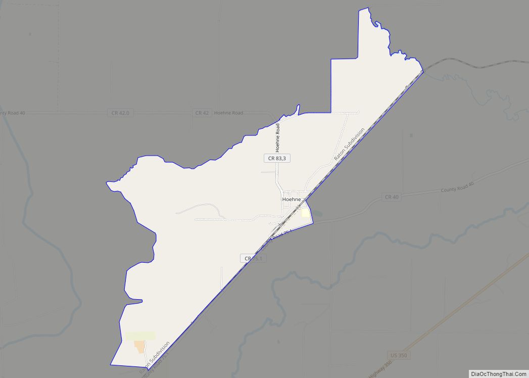
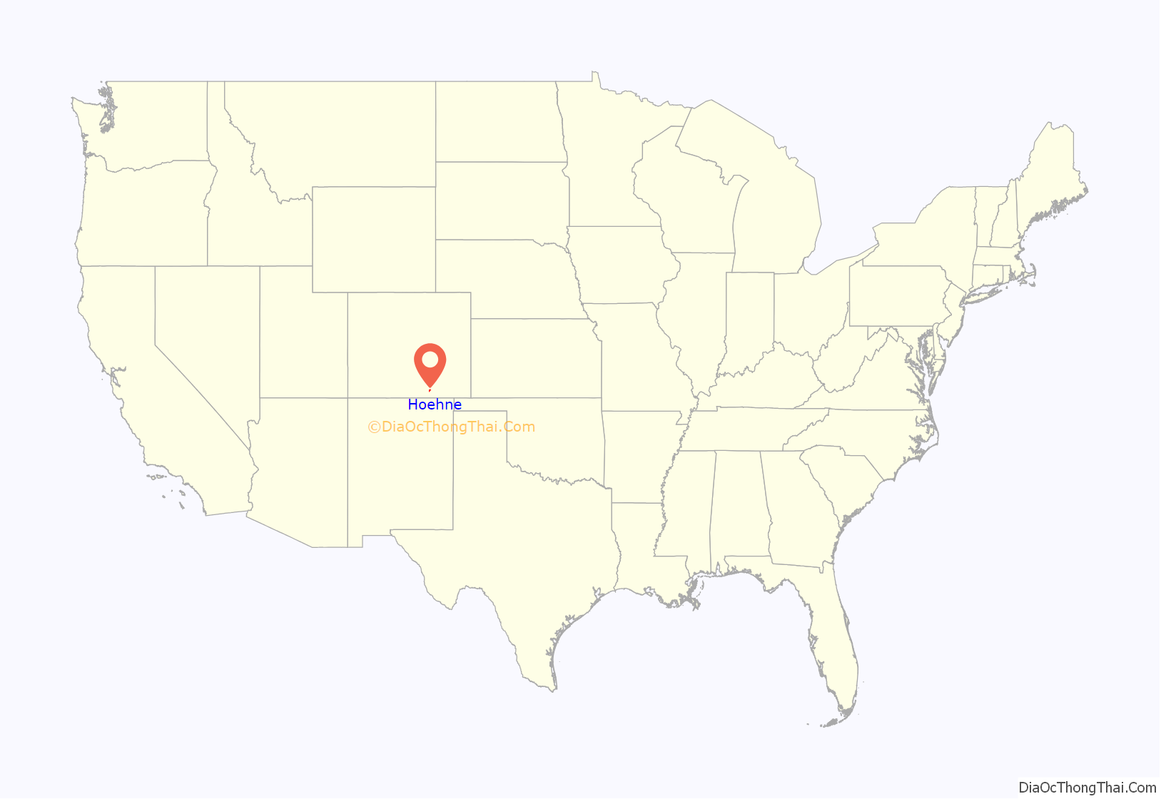
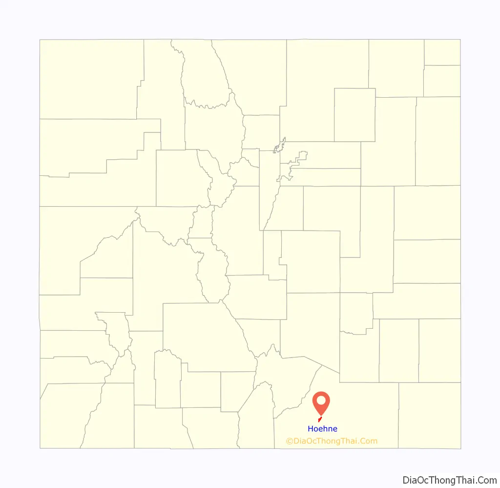
Hoehne is an unincorporated town, a post office, and a census-designated place (CDP) located in and governed by Las Animas County, Colorado, United States. The Hoehne post office has the ZIP Code 81046 (post office boxes). At the United States Census 2020, the population of the Hoehne CDP was 80.
| Name: | Hoehne CDP |
|---|---|
| LSAD Code: | 57 |
| LSAD Description: | CDP (suffix) |
| State: | Colorado |
| County: | Las Animas County |
| Founded: | 1859 |
| Elevation: | 5,738 ft (1,749 m) |
| Total Area: | 3.107 sq mi (8.046 km²) |
| Land Area: | 3.107 sq mi (8.046 km²) |
| Water Area: | 0.000 sq mi (0.000 km²) |
| Total Population: | 80 |
| Population Density: | 26/sq mi (9.9/km²) |
| ZIP code: | 81046 |
| Area code: | 719 |
| FIPS code: | 0836940 |
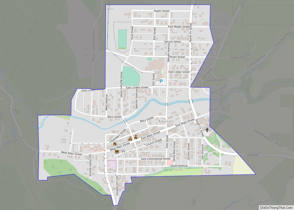
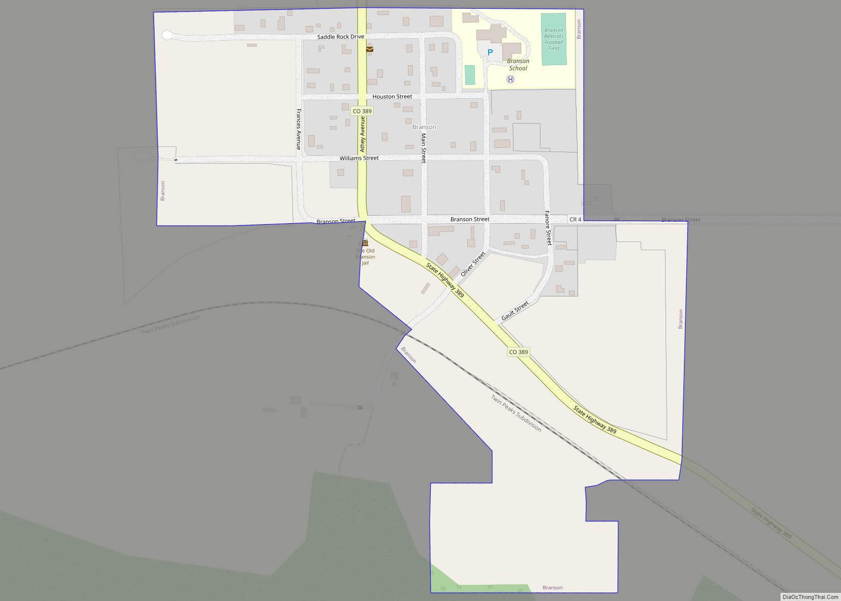
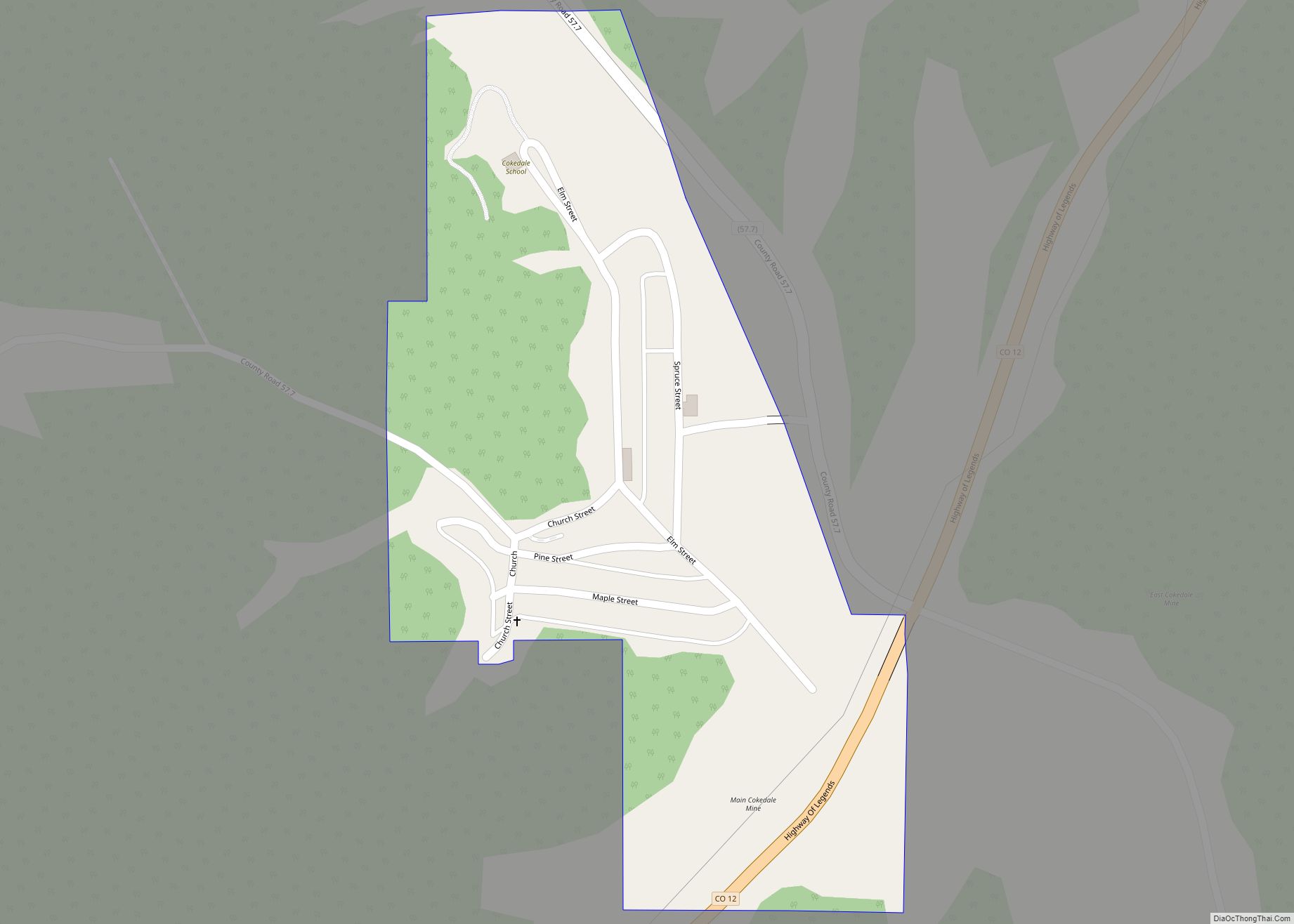
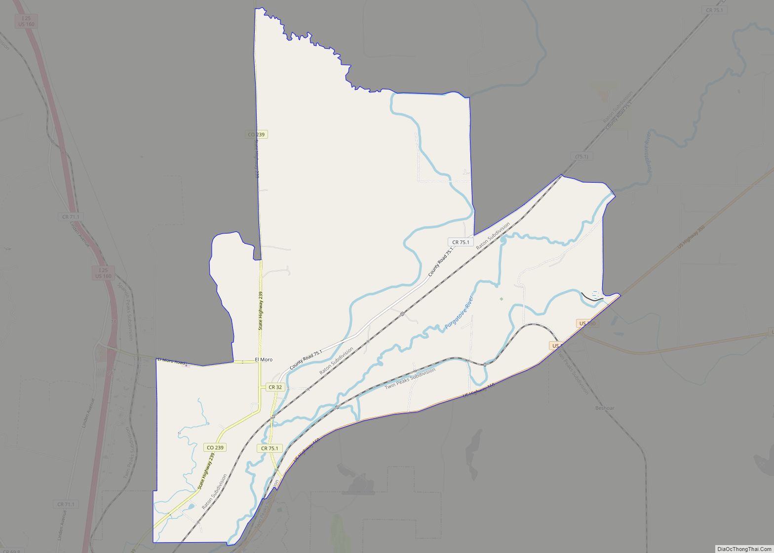
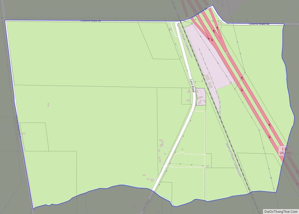
Online Interactive Map
Click on ![]() to view map in "full screen" mode.
to view map in "full screen" mode.
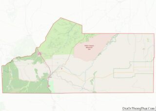
Hoehne location map. Where is Hoehne CDP?
History
Hoehne was founded by German immigrant William Hoehne in 1859 in what was then the Territory of New Mexico. He is credited with founding the Hoehne Ditch Company and introducing the first mill and threshing machine into the area. William Hoehne farmed 1,000 acres (400 ha), planting strawberries, apples, and cherries. Hoehne is still a farming community, but the focus has shifted from fruits to alfalfa and grass hay.
The population of Hoehne today is around 80 people. But during its heyday, the town boasted a hotel, a train depot called “Hoehnes”, a blacksmith, a Catholic church, and several stores. The train depot was retired in 1967 and was moved twice – the second time to its current location in Texas Creek, where it was restored to its original condition. The Hoehne train depot sign is still visible today at the original depot location.
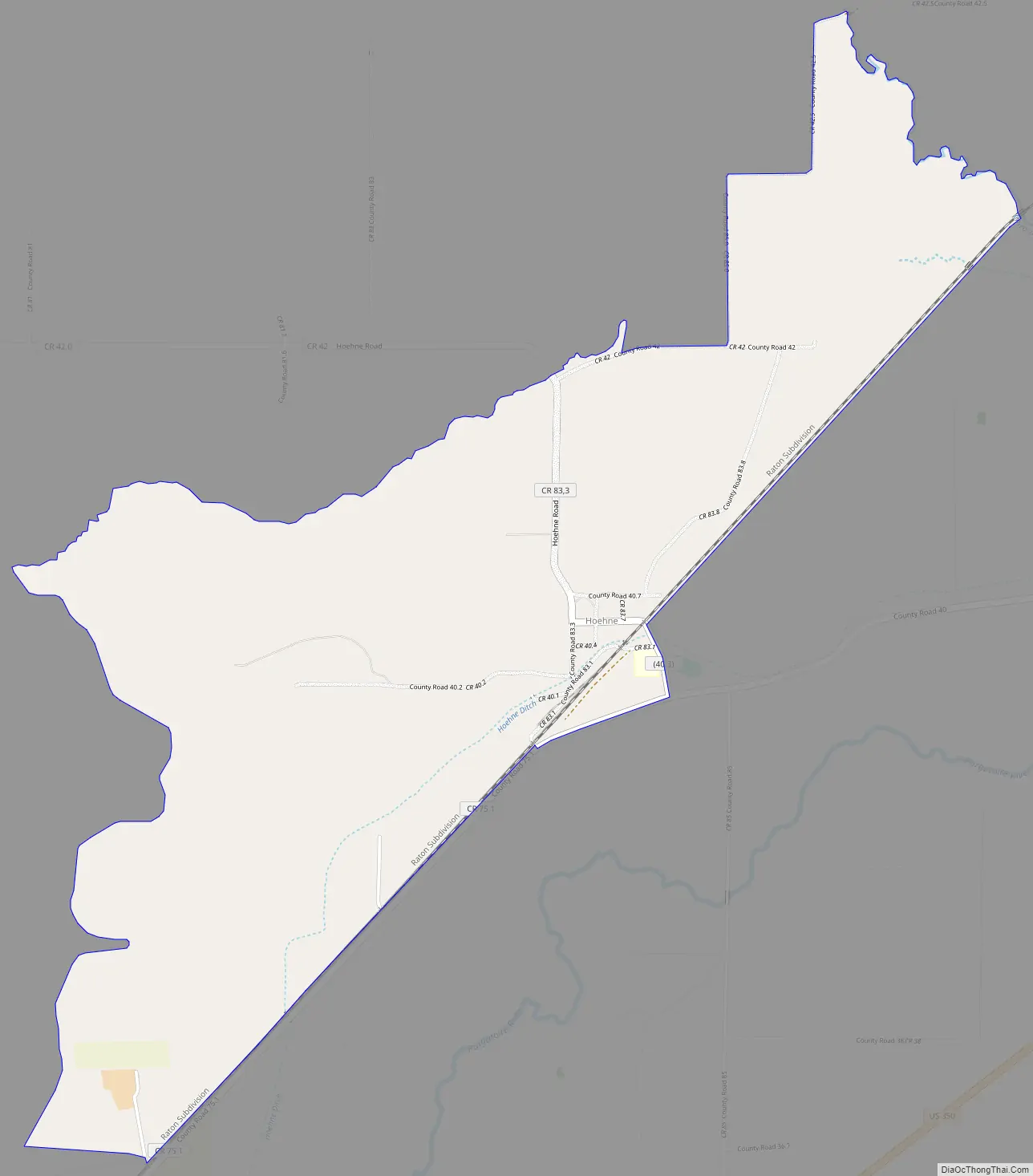
Hoehne is located near the Santa Fe Trail, and a historical marker is located approximately one mile north of the town on County Road 42.0.
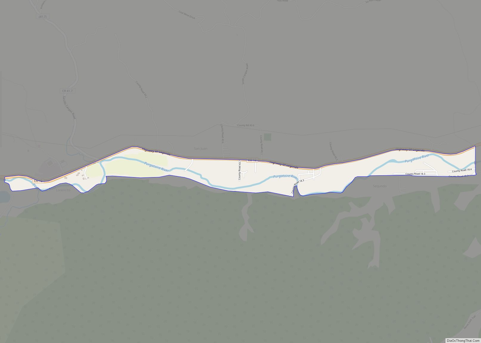
Hoehne Road Map
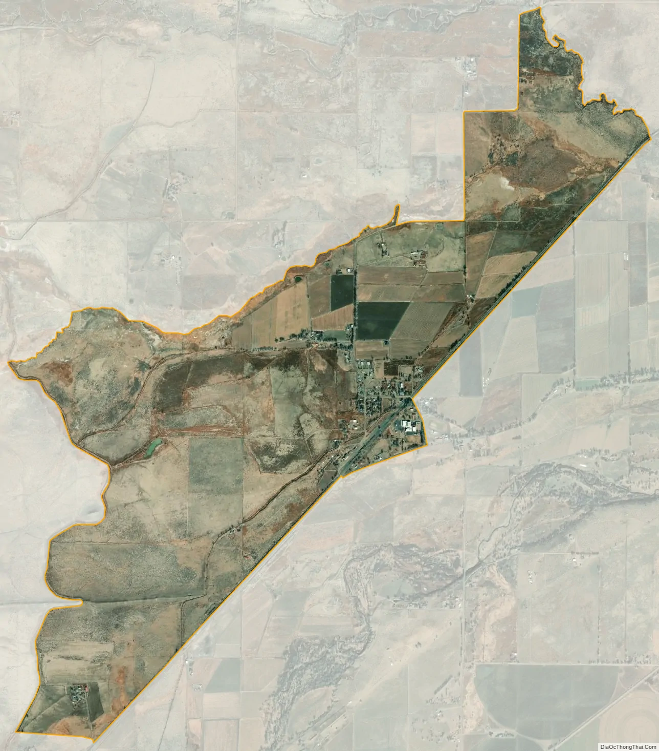
Hoehne city Satellite Map
Geography
Hoehne is located in west-central Las Animas County on high ground north of the Purgatoire River. It is 11 miles (18 km) northeast of Trinidad, the county seat.
The Hoehne CDP has an area of 1,988 acres (8.046 km), all land.
See also
Map of Colorado State and its subdivision:- Adams
- Alamosa
- Arapahoe
- Archuleta
- Baca
- Bent
- Boulder
- Broomfield
- Chaffee
- Cheyenne
- Clear Creek
- Conejos
- Costilla
- Crowley
- Custer
- Delta
- Denver
- Dolores
- Douglas
- Eagle
- El Paso
- Elbert
- Fremont
- Garfield
- Gilpin
- Grand
- Gunnison
- Hinsdale
- Huerfano
- Jackson
- Jefferson
- Kiowa
- Kit Carson
- La Plata
- Lake
- Larimer
- Las Animas
- Lincoln
- Logan
- Mesa
- Mineral
- Moffat
- Montezuma
- Montrose
- Morgan
- Otero
- Ouray
- Park
- Phillips
- Pitkin
- Prowers
- Pueblo
- Rio Blanco
- Rio Grande
- Routt
- Saguache
- San Juan
- San Miguel
- Sedgwick
- Summit
- Teller
- Washington
- Weld
- Yuma
- Alabama
- Alaska
- Arizona
- Arkansas
- California
- Colorado
- Connecticut
- Delaware
- District of Columbia
- Florida
- Georgia
- Hawaii
- Idaho
- Illinois
- Indiana
- Iowa
- Kansas
- Kentucky
- Louisiana
- Maine
- Maryland
- Massachusetts
- Michigan
- Minnesota
- Mississippi
- Missouri
- Montana
- Nebraska
- Nevada
- New Hampshire
- New Jersey
- New Mexico
- New York
- North Carolina
- North Dakota
- Ohio
- Oklahoma
- Oregon
- Pennsylvania
- Rhode Island
- South Carolina
- South Dakota
- Tennessee
- Texas
- Utah
- Vermont
- Virginia
- Washington
- West Virginia
- Wisconsin
- Wyoming