Idalia is an unincorporated town, a post office, and a census-designated place (CDP) located in Yuma County, Colorado, United States. The Idalia post office has the ZIP Code 80735. At the United States Census 2020, the population of the Idalia CDP was 97.
| Name: | Idalia CDP |
|---|---|
| LSAD Code: | 57 |
| LSAD Description: | CDP (suffix) |
| State: | Colorado |
| County: | Yuma County |
| Founded: | 1887 |
| Elevation: | 3,966 ft (1,209 m) |
| Total Area: | 0.085 sq mi (0.220 km²) |
| Land Area: | 0.085 sq mi (0.220 km²) |
| Water Area: | 0.000 sq mi (0.000 km²) |
| Total Population: | 97 |
| Population Density: | 1,100/sq mi (440/km²) |
| ZIP code: | 80735 |
| Area code: | 970 |
| FIPS code: | 0838425 |
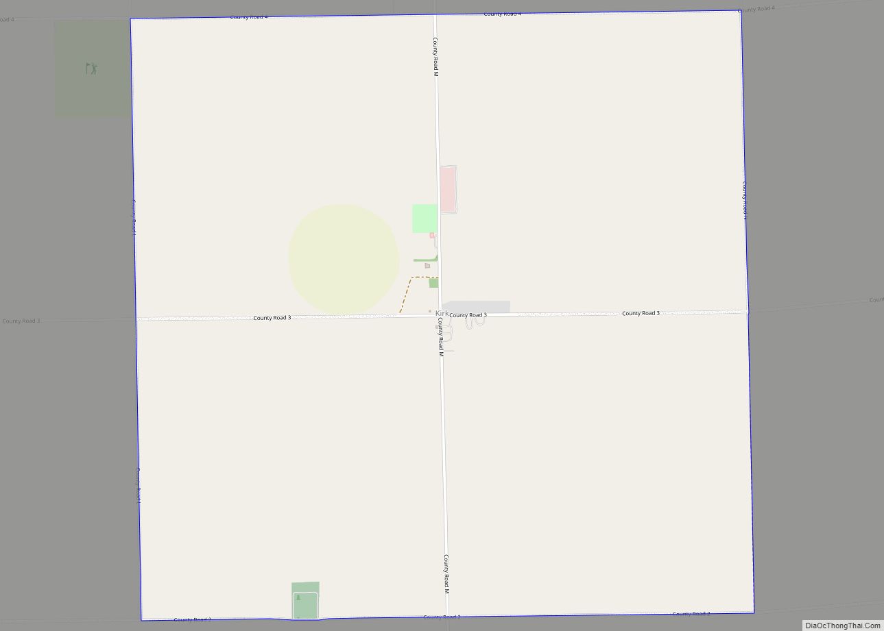
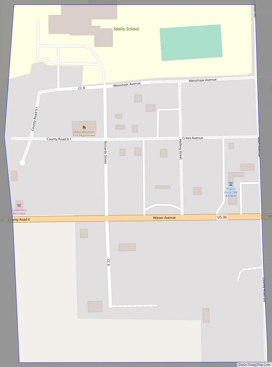
Online Interactive Map
Click on ![]() to view map in "full screen" mode.
to view map in "full screen" mode.
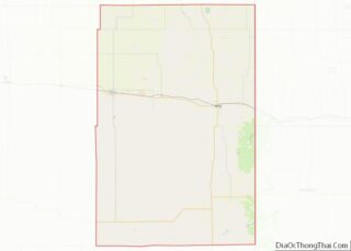
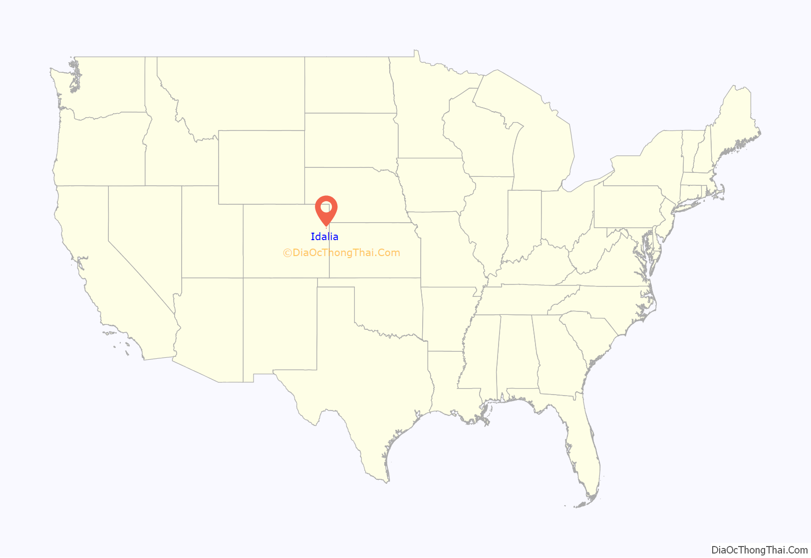
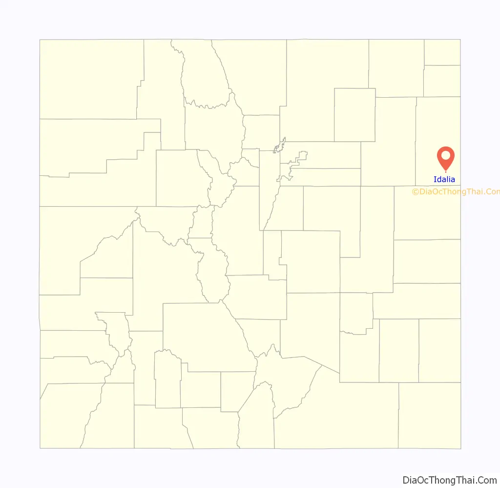
Idalia location map. Where is Idalia CDP?
History
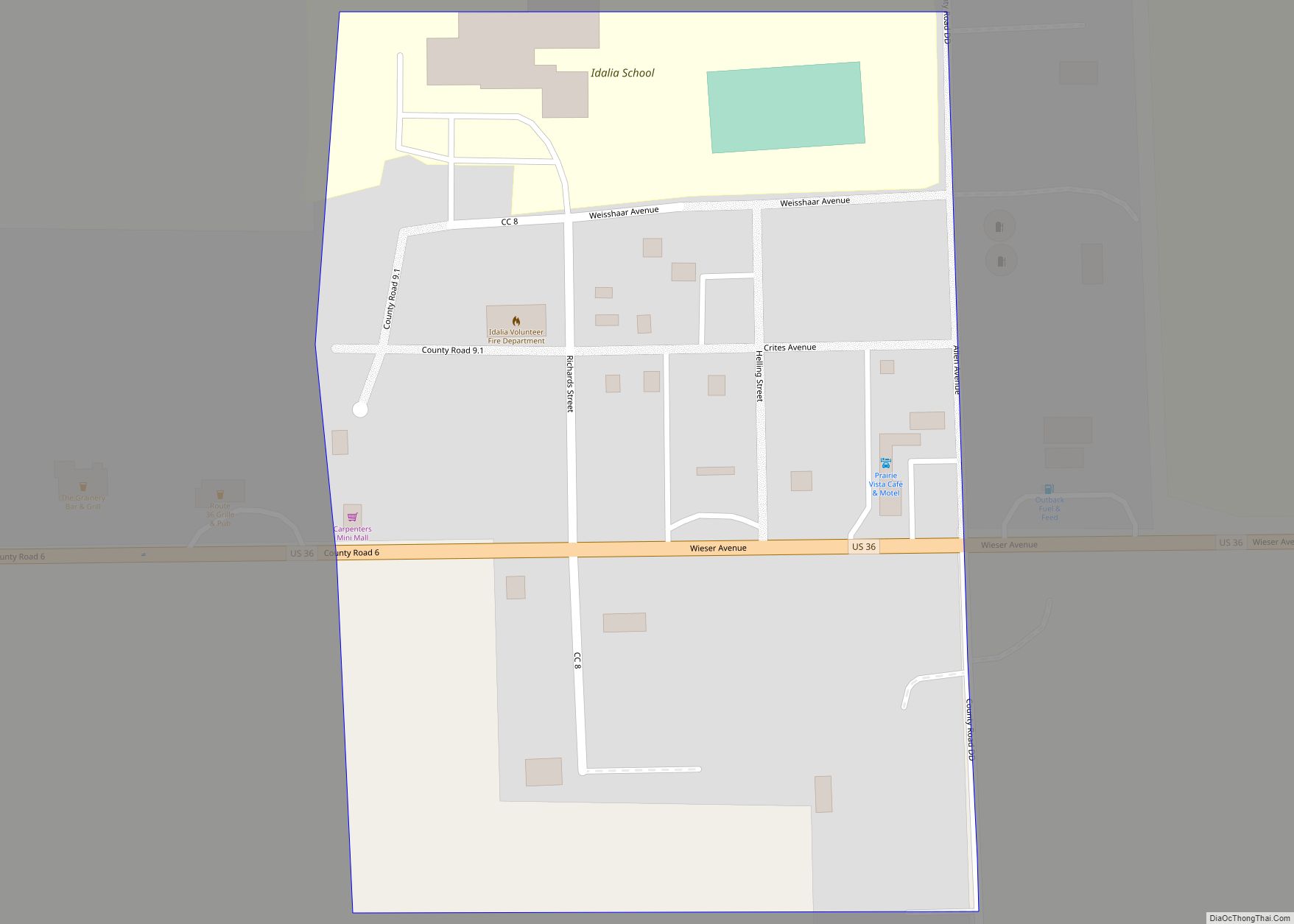
Idalia was founded in 1887. Located on the Eastern Plains of Colorado in southern Yuma County, approximately 150 miles east of Denver and 15 miles from the Kansas border, Idalia has been home for many generations of families. The primary industries of the area are farming, ranching, and natural gas production. The community has many amenities for a small rural community, including the Idalia Vision Foundation, Inc., two churches, local Co-Op, convenience store, restaurants, and a motel. A new Kindergarten through grade-12 school building opened in the fall of 2013 providing state-of-the-art educational programs & facilities.
The Idalia Post Office has been in operation since 1888. The community derives its name from Edaliah Helmick, a pioneer settler.
Idalia Road Map
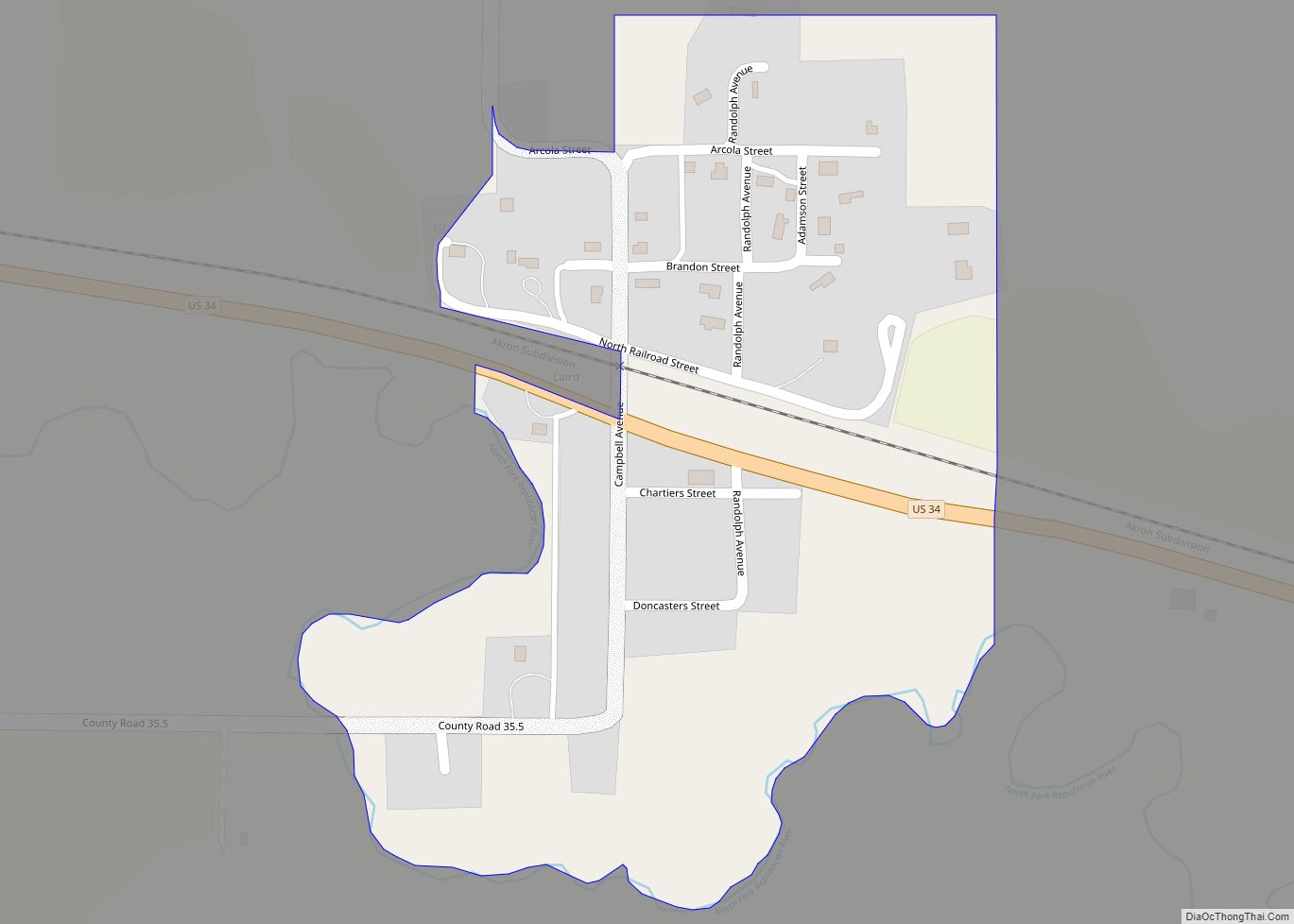
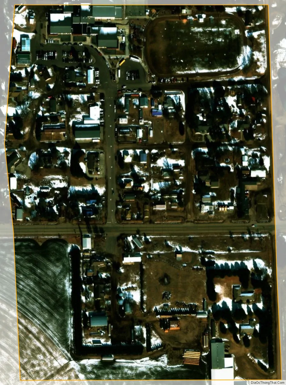
Idalia city Satellite Map
Geography
Idalia is located along U.S. Highway 36 approximately two miles west of U.S. Highway 385.
The Idalia CDP has an area of 54 acres (0.220 km), all land.
See also
Map of Colorado State and its subdivision:- Adams
- Alamosa
- Arapahoe
- Archuleta
- Baca
- Bent
- Boulder
- Broomfield
- Chaffee
- Cheyenne
- Clear Creek
- Conejos
- Costilla
- Crowley
- Custer
- Delta
- Denver
- Dolores
- Douglas
- Eagle
- El Paso
- Elbert
- Fremont
- Garfield
- Gilpin
- Grand
- Gunnison
- Hinsdale
- Huerfano
- Jackson
- Jefferson
- Kiowa
- Kit Carson
- La Plata
- Lake
- Larimer
- Las Animas
- Lincoln
- Logan
- Mesa
- Mineral
- Moffat
- Montezuma
- Montrose
- Morgan
- Otero
- Ouray
- Park
- Phillips
- Pitkin
- Prowers
- Pueblo
- Rio Blanco
- Rio Grande
- Routt
- Saguache
- San Juan
- San Miguel
- Sedgwick
- Summit
- Teller
- Washington
- Weld
- Yuma
- Alabama
- Alaska
- Arizona
- Arkansas
- California
- Colorado
- Connecticut
- Delaware
- District of Columbia
- Florida
- Georgia
- Hawaii
- Idaho
- Illinois
- Indiana
- Iowa
- Kansas
- Kentucky
- Louisiana
- Maine
- Maryland
- Massachusetts
- Michigan
- Minnesota
- Mississippi
- Missouri
- Montana
- Nebraska
- Nevada
- New Hampshire
- New Jersey
- New Mexico
- New York
- North Carolina
- North Dakota
- Ohio
- Oklahoma
- Oregon
- Pennsylvania
- Rhode Island
- South Carolina
- South Dakota
- Tennessee
- Texas
- Utah
- Vermont
- Virginia
- Washington
- West Virginia
- Wisconsin
- Wyoming