The Town of Marble is a Statutory Town in Gunnison County, Colorado, United States. The town population was 133 at the 2020 United States Census.
| Name: | Marble town |
|---|---|
| LSAD Code: | 43 |
| LSAD Description: | town (suffix) |
| State: | Colorado |
| County: | Gunnison County |
| Incorporated: | 1899 |
| Elevation: | 7,993 ft (2,436 m) |
| Total Area: | 0.36 sq mi (0.93 km²) |
| Land Area: | 0.36 sq mi (0.93 km²) |
| Water Area: | 0.00 sq mi (0.00 km²) |
| Total Population: | 133 |
| Population Density: | 370/sq mi (140/km²) |
| ZIP code: | 81623 |
| Area code: | 970 |
| FIPS code: | 0848555 |
| Website: | www.townofmarble.com |
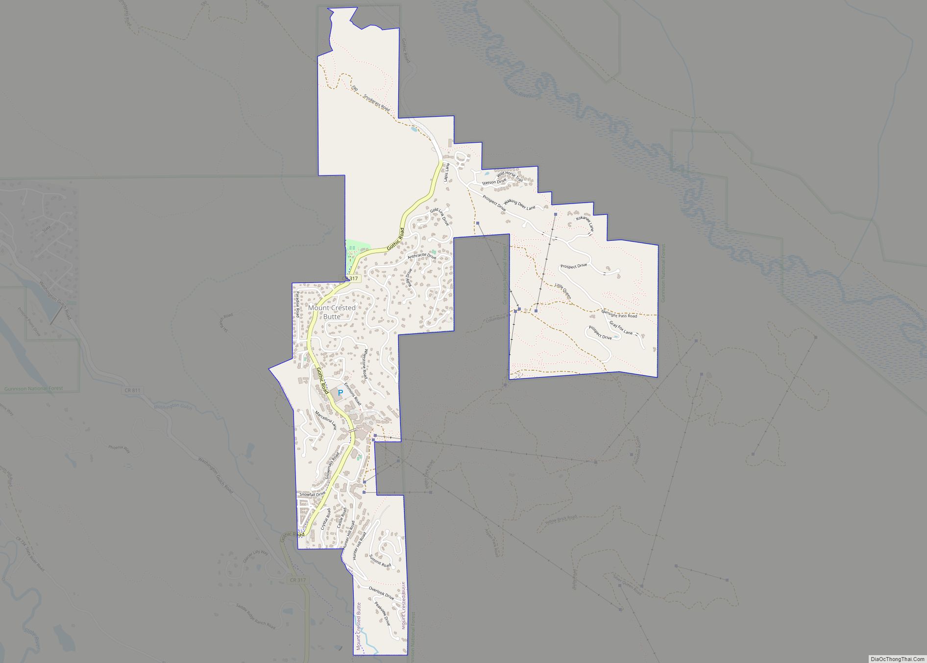
Online Interactive Map
Click on ![]() to view map in "full screen" mode.
to view map in "full screen" mode.
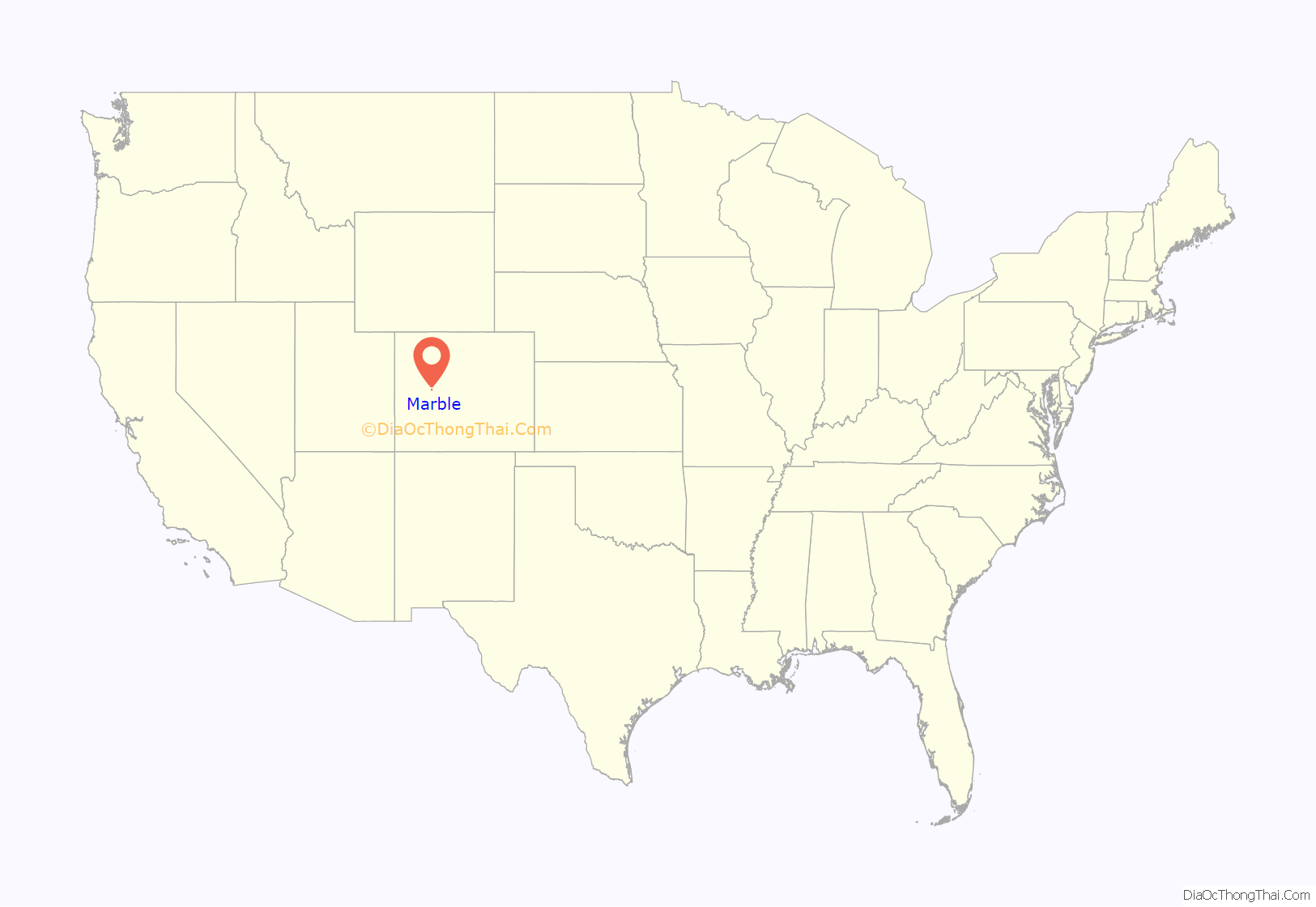
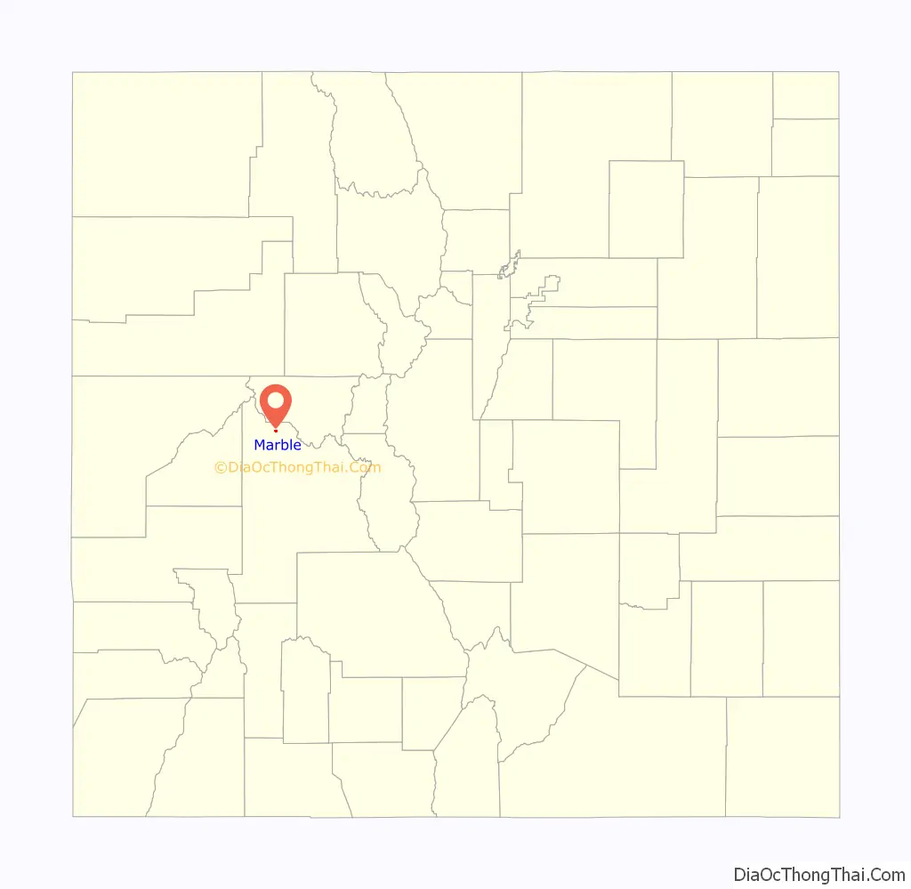
Marble location map. Where is Marble town?
History
The Town of Marble was first incorporated in 1899. Marble remains a statutory town of the State of Colorado today.
The quarry
The town is the location of a historic Yule Marble quarry along the mountains that began operations in the late 19th century, and from which the town draws its name. It has been used for the Tomb of the Unknowns, as well as for parts of the Lincoln Memorial in Washington, D.C., and civic buildings in San Francisco. It was also used for the construction of the Equitable Building, a historically important early skyscraper in New York City.
The marble of the quarry is considered to be of exceptional quality, praised as one of the purest marbles ever quarried and a rival to classical Italian and Greek marble. It is nearly pure calcite marble with minor inclusions of mica, quartz, and feldspar, and has irregularly shaped calcite grains ranging from 100 to 600 micrometers in diameter. According to physical tests of the marble, its strength is comparable to marble typically used in building construction.
The quarry has enjoyed a renaissance since its acquisition in 2004 by Polycor, a Canadian-based dimension stone company, and subsequent sale to Italian group R.E.D. Graniti S.p.A. In spite of significant transportation costs, this high-quality stone is now exported in large quantities to Europe and Asia for transformation and use throughout the world, as well as being sold into the US market.
Tourism
In the late 20th century and the 21st century, Marble has become a summer tourist destination. It is also the gateway to the nearby Crystal townsite. It is the site of the Marble/marble sculpting symposium held every summer since 1988.
Seven sites within Marble have been listed on the National Register of Historic Places.
- Haxby House
- William D. Parry House
- St. Paul’s Church
- Marble City State Bank building
- Marble High School
- Marble Mill Site
- Marble Town Hall
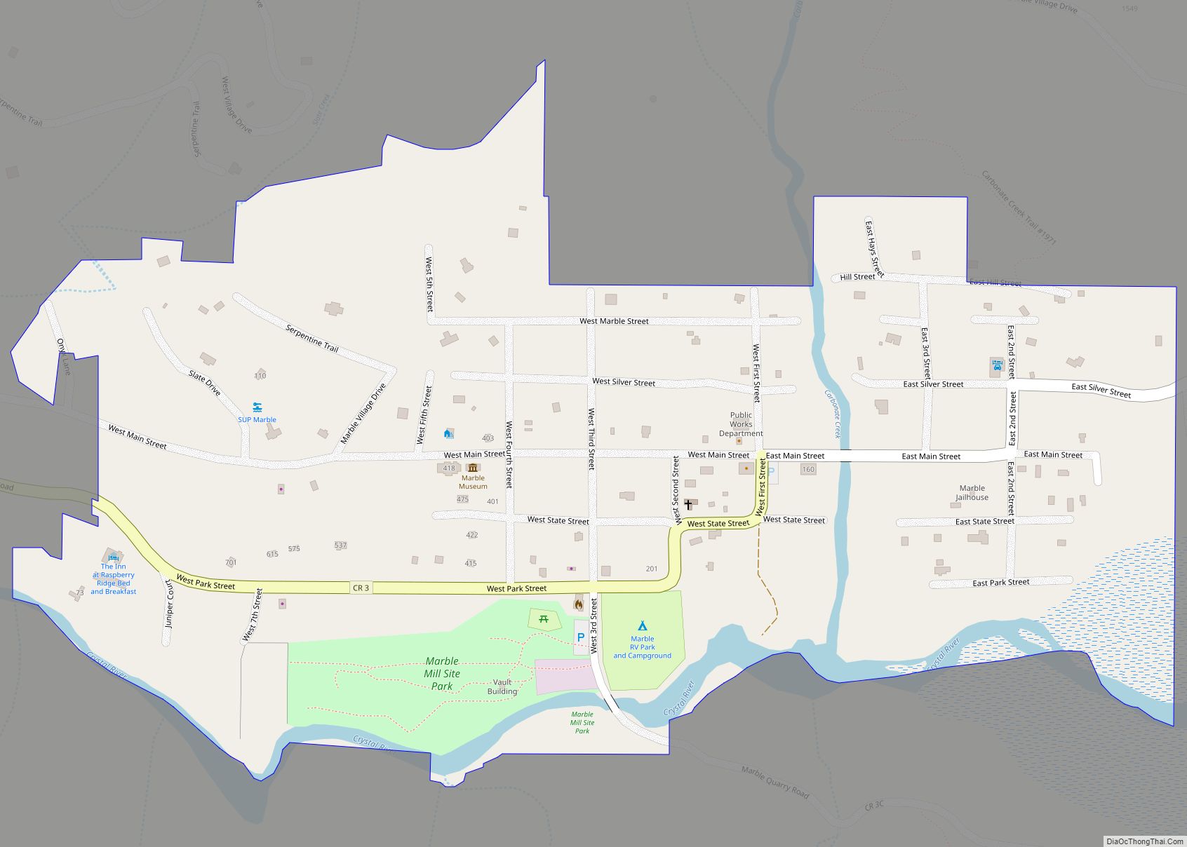
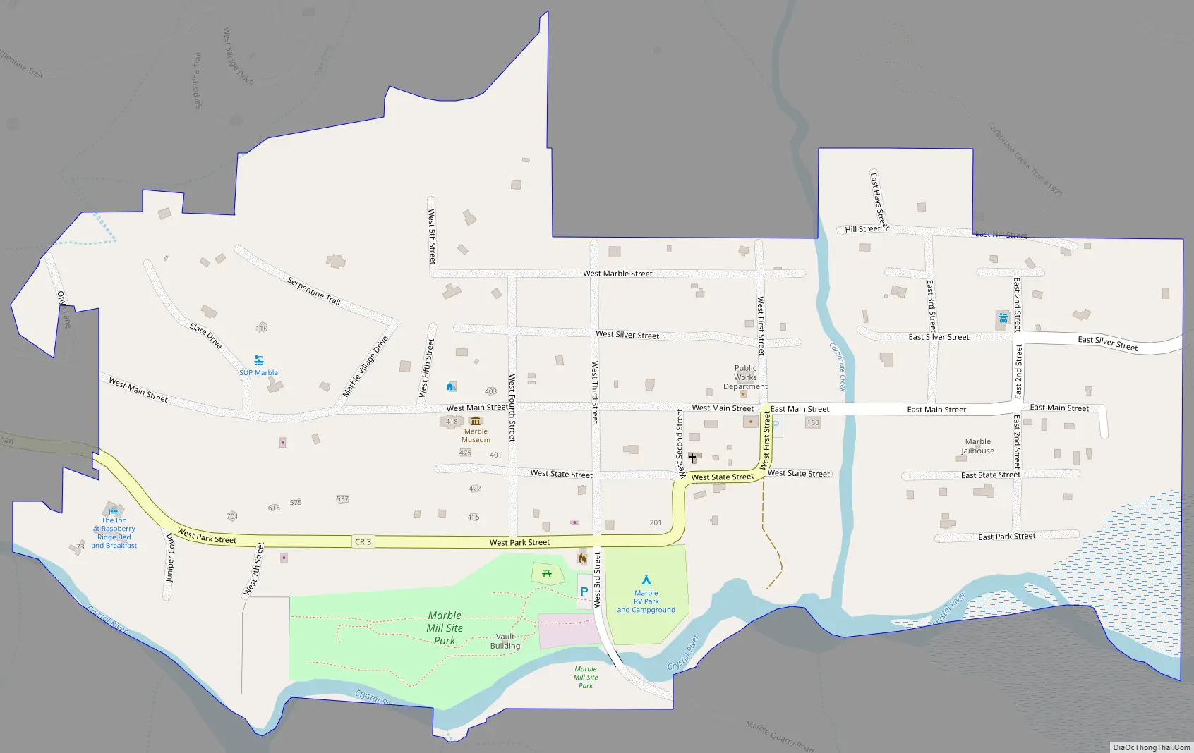
Marble Road Map
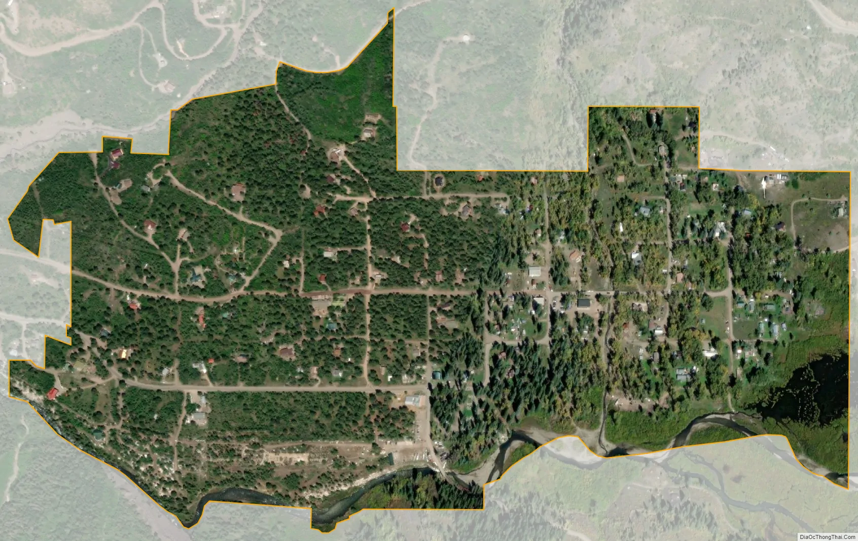
Marble city Satellite Map
Geography
Marble is located at 39°4′20″N 107°11′22″W / 39.07222°N 107.18944°W / 39.07222; -107.18944 (39.072274, -107.189516).
According to the United States Census Bureau, the town has a total area of 0.4 square miles (1.0 km), all of it land.
The community is located in a valley of the upper Crystal River along the Elk Mountains, accessible by a paved road from State Highway 133. Unlike most of Gunnison County, the town is located on the north side of Schofield Pass which is inaccessible to most cars and thus is separated geographically from the rest of Gunnison County.
See also
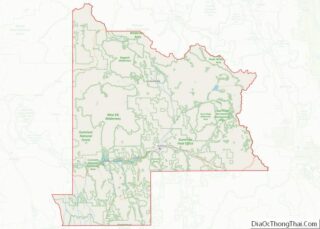
Map of Colorado State and its subdivision:- Adams
- Alamosa
- Arapahoe
- Archuleta
- Baca
- Bent
- Boulder
- Broomfield
- Chaffee
- Cheyenne
- Clear Creek
- Conejos
- Costilla
- Crowley
- Custer
- Delta
- Denver
- Dolores
- Douglas
- Eagle
- El Paso
- Elbert
- Fremont
- Garfield
- Gilpin
- Grand
- Gunnison
- Hinsdale
- Huerfano
- Jackson
- Jefferson
- Kiowa
- Kit Carson
- La Plata
- Lake
- Larimer
- Las Animas
- Lincoln
- Logan
- Mesa
- Mineral
- Moffat
- Montezuma
- Montrose
- Morgan
- Otero
- Ouray
- Park
- Phillips
- Pitkin
- Prowers
- Pueblo
- Rio Blanco
- Rio Grande
- Routt
- Saguache
- San Juan
- San Miguel
- Sedgwick
- Summit
- Teller
- Washington
- Weld
- Yuma
- Alabama
- Alaska
- Arizona
- Arkansas
- California
- Colorado
- Connecticut
- Delaware
- District of Columbia
- Florida
- Georgia
- Hawaii
- Idaho
- Illinois
- Indiana
- Iowa
- Kansas
- Kentucky
- Louisiana
- Maine
- Maryland
- Massachusetts
- Michigan
- Minnesota
- Mississippi
- Missouri
- Montana
- Nebraska
- Nevada
- New Hampshire
- New Jersey
- New Mexico
- New York
- North Carolina
- North Dakota
- Ohio
- Oklahoma
- Oregon
- Pennsylvania
- Rhode Island
- South Carolina
- South Dakota
- Tennessee
- Texas
- Utah
- Vermont
- Virginia
- Washington
- West Virginia
- Wisconsin
- Wyoming