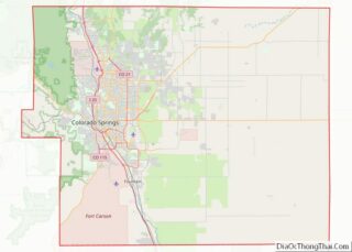
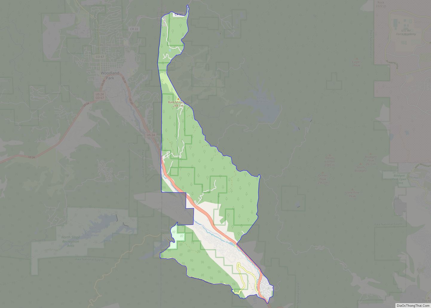
The town of Monument is a home rule town situated at the base of the Rampart Range in El Paso County, Colorado, United States. Monument is one of the three communities that make up the Tri-Lakes area, along with Palmer Lake and Woodmoor. The town is part of the Colorado Springs metropolitan area, which had an estimated population of 700,000 in 2019. Monument is bordered by Pike National Forest on the west, Colorado Springs and the United States Air Force Academy to the south, Bald Mountain, True Mountain, and Spruce Mountain to the north, and Black Forest and rolling plains to the east. Monument was first settled as a stop along the Rio Grande Railroad in 1872, and the area was incorporated as a town called Henry’s Station in 1879, but the name was later changed to Monument. The town population was 10,399 at the 2020 United States Census, an increase from the population of 5,530 in 2010 and 1,971 in 2000. On April 1, 2019, the town declared itself to be a Second Amendment sanctuary.
| Name: | Monument town |
|---|---|
| LSAD Code: | 43 |
| LSAD Description: | town (suffix) |
| State: | Colorado |
| County: | El Paso County |
| Elevation: | 6,975 ft (2,126 m) |
| Total Area: | 6.91 sq mi (17.90 km²) |
| Land Area: | 6.86 sq mi (17.78 km²) |
| Water Area: | 0.05 sq mi (0.13 km²) |
| Total Population: | 10,399 |
| Population Density: | 1,179.80/sq mi (455.53/km²) |
| ZIP code: | 80132 |
| Area code: | 719 |
| FIPS code: | 0851800 |
| GNISfeature ID: | 0204795 |
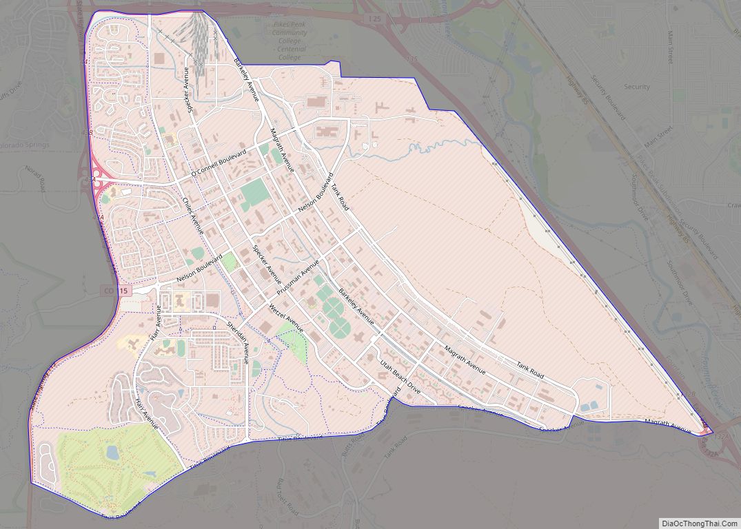
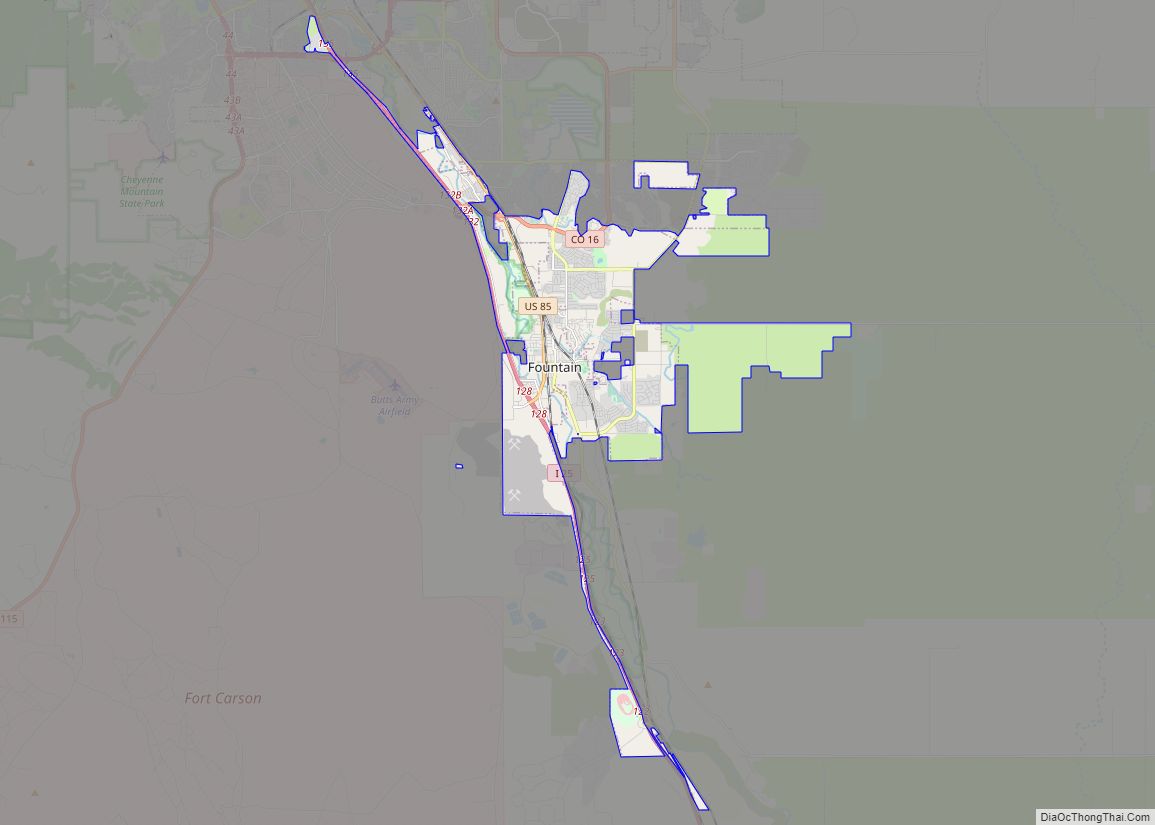
Online Interactive Map
Click on ![]() to view map in "full screen" mode.
to view map in "full screen" mode.
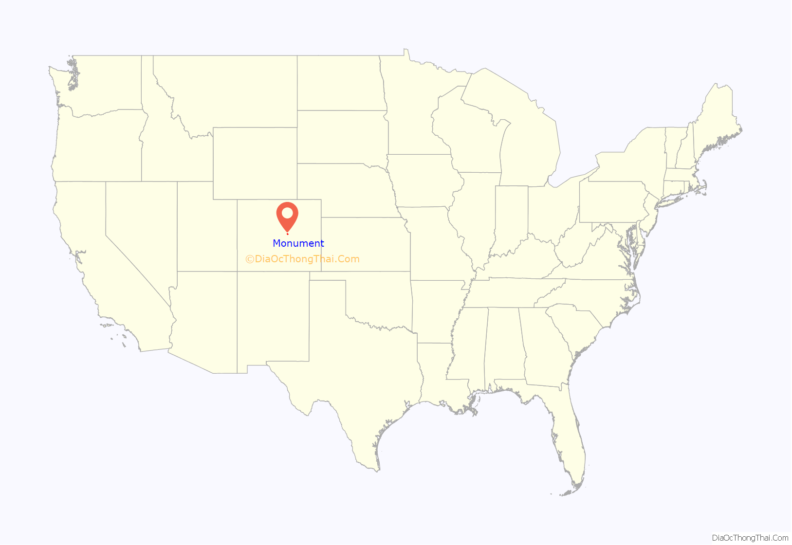
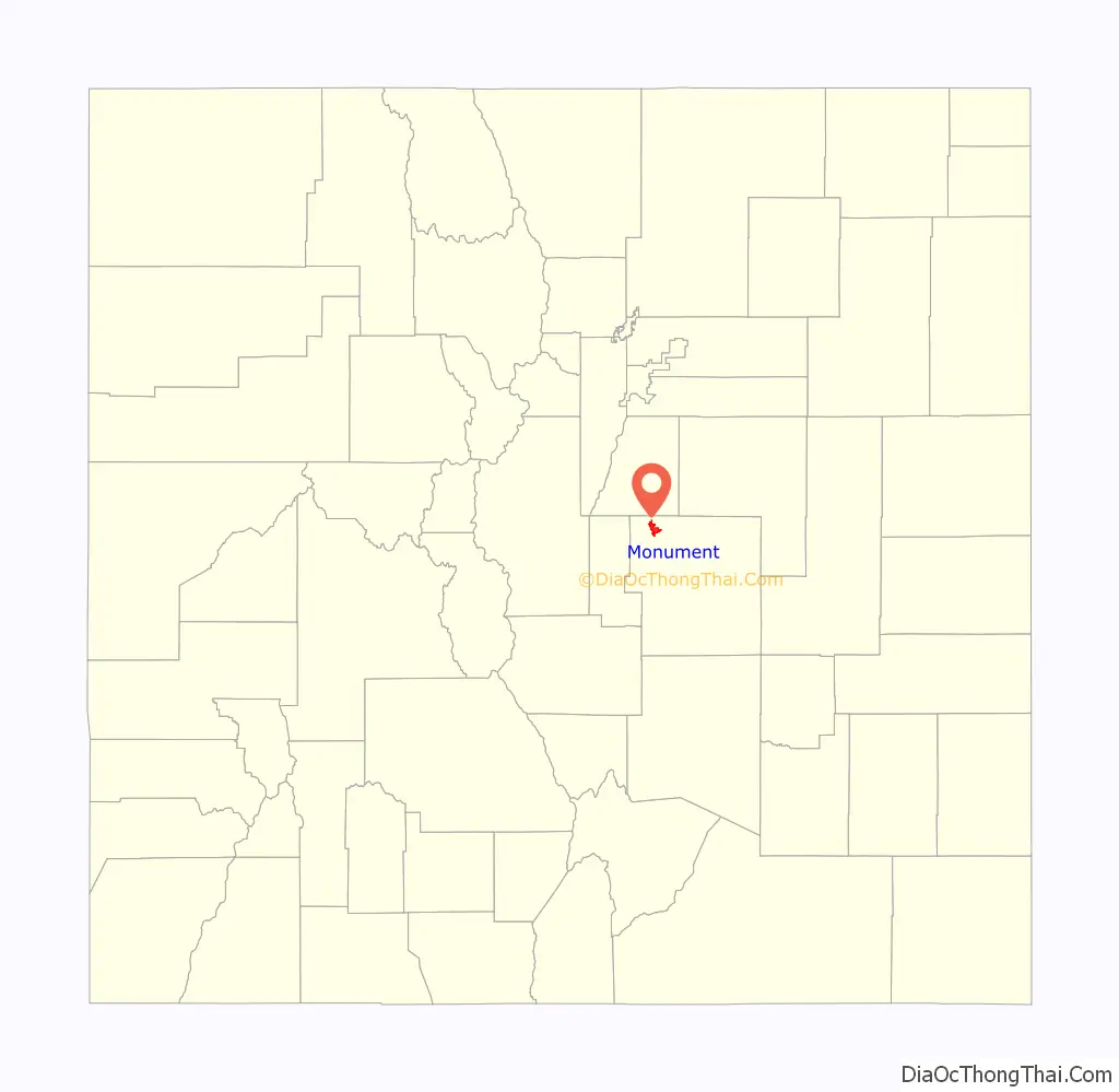
Monument location map. Where is Monument town?
History
Monument’s first homesteaders arrived in 1865 to mark out the town’s preliminary shape, but settlement increased when Monument became a stop along the Rio Grande Railroad in 1872. The area was incorporated as a town called Henry’s Station, after prominent settler Henry Limbach, on June 2, 1879, and the first town meeting was held July 3, 1879. However, three years later the name was changed to Monument after Monument Creek and Monument Rock in the west. The first records of the town can be found in various volumes in the El Paso County Courthouse dating back to 1872. With the help of the railroad, which brought in necessities, people started small businesses and started to create a town.
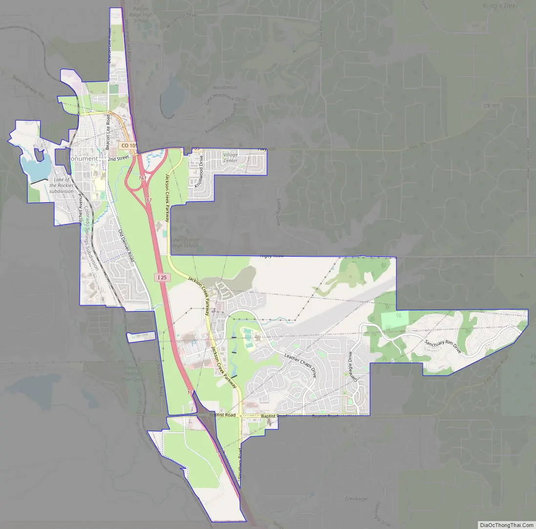
Monument Road Map
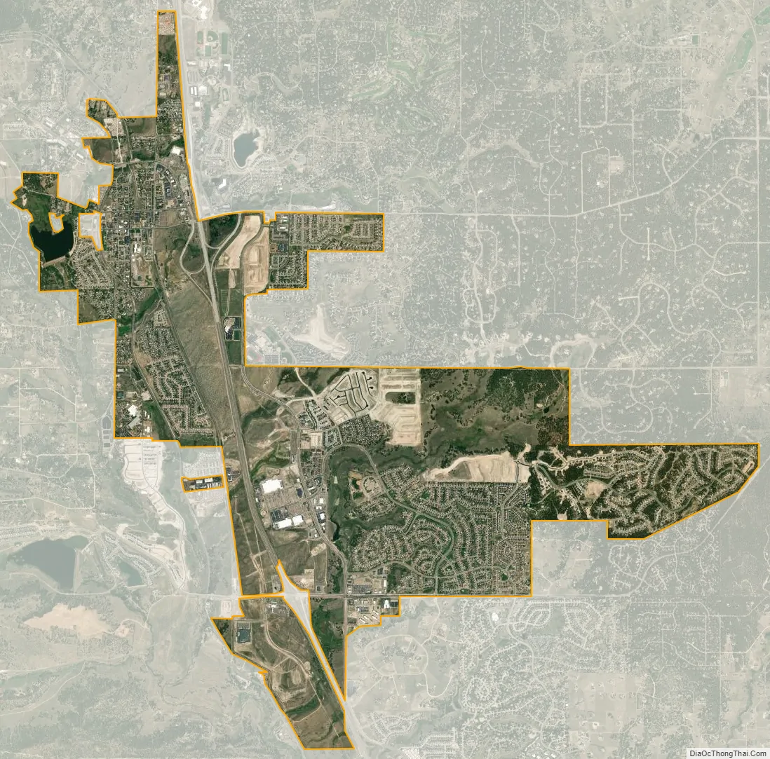
Monument city Satellite Map
Geography
Monument is located at 39°04′52″N 104°51′45″W / 39.081024°N 104.862491°W / 39.081024; -104.862491. It is north of Colorado Springs and the United States Air Force Academy, and east of the Rampart Range, which is the eastern front range of the Rocky Mountains. Monument Creek, a gentle mountain stream beginning in the Rampart Range, eventually tumbles down through Palmer Lake and the west side of Monument to become one of the main waterways flowing south through Colorado Springs. The town of Monument is situated on the southern slope of Palmer Divide, a significant geographical feature which separates the Arkansas and South Platte basins. According to the United States Census Bureau, Monument has a total area of 4.6 square miles (12 km), all of it land.
See also
Map of Colorado State and its subdivision:- Adams
- Alamosa
- Arapahoe
- Archuleta
- Baca
- Bent
- Boulder
- Broomfield
- Chaffee
- Cheyenne
- Clear Creek
- Conejos
- Costilla
- Crowley
- Custer
- Delta
- Denver
- Dolores
- Douglas
- Eagle
- El Paso
- Elbert
- Fremont
- Garfield
- Gilpin
- Grand
- Gunnison
- Hinsdale
- Huerfano
- Jackson
- Jefferson
- Kiowa
- Kit Carson
- La Plata
- Lake
- Larimer
- Las Animas
- Lincoln
- Logan
- Mesa
- Mineral
- Moffat
- Montezuma
- Montrose
- Morgan
- Otero
- Ouray
- Park
- Phillips
- Pitkin
- Prowers
- Pueblo
- Rio Blanco
- Rio Grande
- Routt
- Saguache
- San Juan
- San Miguel
- Sedgwick
- Summit
- Teller
- Washington
- Weld
- Yuma
- Alabama
- Alaska
- Arizona
- Arkansas
- California
- Colorado
- Connecticut
- Delaware
- District of Columbia
- Florida
- Georgia
- Hawaii
- Idaho
- Illinois
- Indiana
- Iowa
- Kansas
- Kentucky
- Louisiana
- Maine
- Maryland
- Massachusetts
- Michigan
- Minnesota
- Mississippi
- Missouri
- Montana
- Nebraska
- Nevada
- New Hampshire
- New Jersey
- New Mexico
- New York
- North Carolina
- North Dakota
- Ohio
- Oklahoma
- Oregon
- Pennsylvania
- Rhode Island
- South Carolina
- South Dakota
- Tennessee
- Texas
- Utah
- Vermont
- Virginia
- Washington
- West Virginia
- Wisconsin
- Wyoming