Niwot is an unincorporated town, a post office, and a census-designated place (CDP) located in and governed by Boulder County, Colorado, United States. The CDP is a part of the Boulder, Colorado Metropolitan Statistical Area. The Niwot post office has the ZIP Codes 80503 and 80544 (for post office boxes). At the United States Census 2020, the population of the Niwot CDP was 4,306.
| Name: | Niwot CDP |
|---|---|
| LSAD Code: | 57 |
| LSAD Description: | CDP (suffix) |
| State: | Colorado |
| County: | Boulder County |
| Elevation: | 5,167 ft (1,575 m) |
| Total Area: | 4.005 sq mi (10.374 km²) |
| Land Area: | 3.996 sq mi (10.350 km²) |
| Water Area: | 0.009 sq mi (0.024 km²) |
| Total Population: | 4,306 |
| Population Density: | 1,003/sq mi (387/km²) |
| ZIP code: | 80503, 80544 |
| FIPS code: | 0853780 |
Online Interactive Map
Click on ![]() to view map in "full screen" mode.
to view map in "full screen" mode.
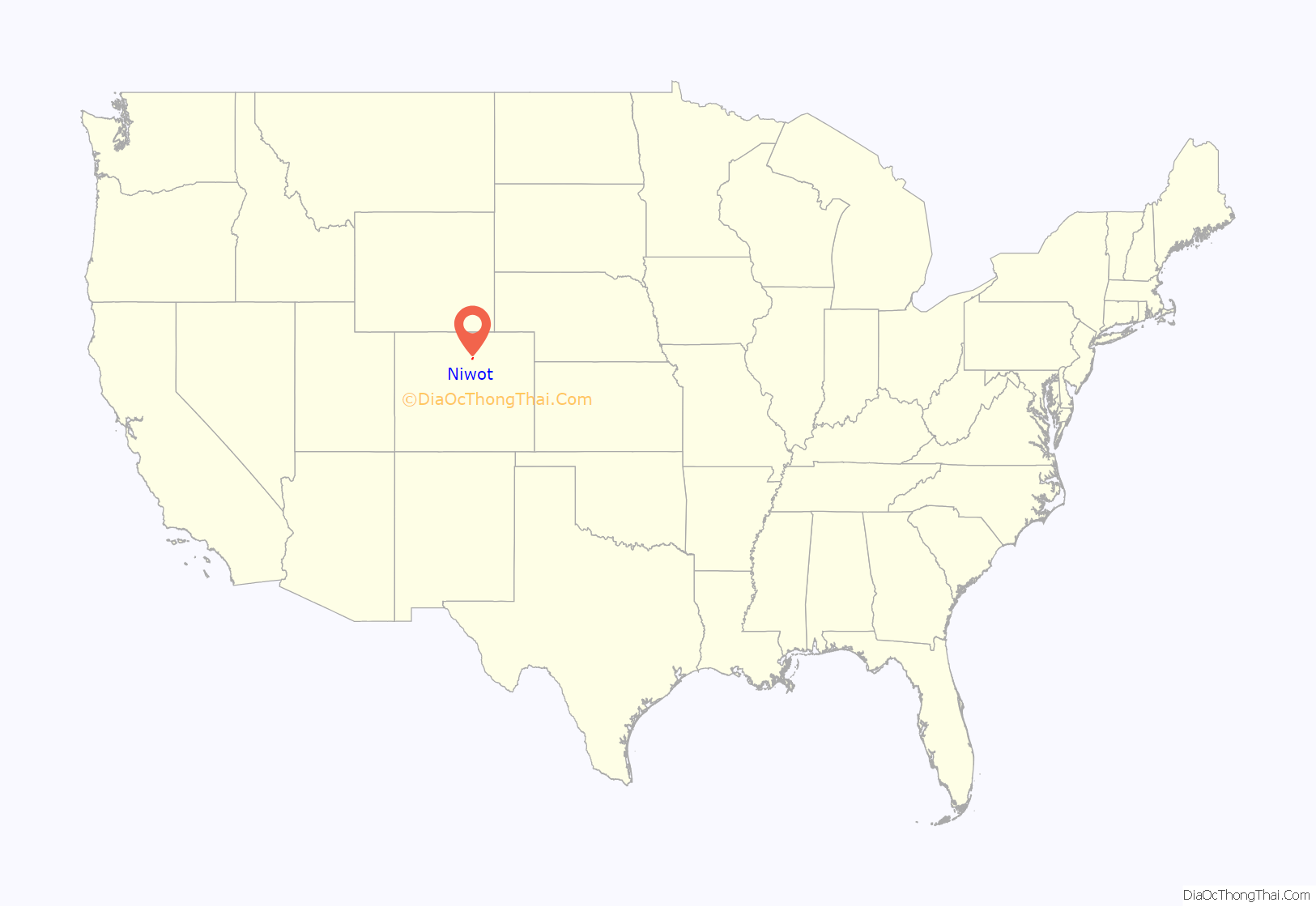
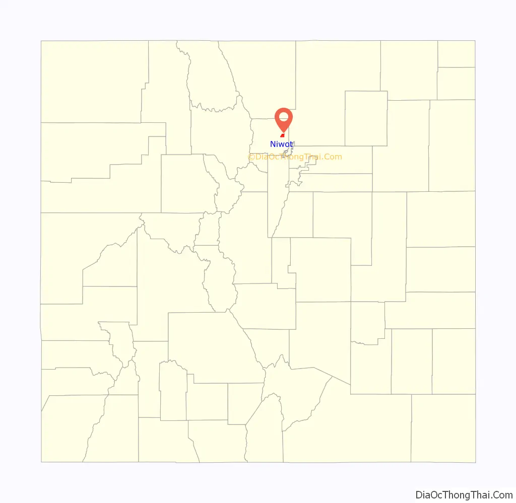
Niwot location map. Where is Niwot CDP?
History
Niwot is named for Arapaho Chief Niwot, a tribal leader in the Boulder area during the nineteenth century. The name means “left-handed”.
The town of Niwot was first platted in 1875 along either side of the Colorado Central Railroad. Initially, the town’s commercial district was to the west of the railroad, while the residential was to the east. By the early 1900s, the bulk of the town shifted to the east side of the track, while the buildings to the west were either relocated or burned down.
This locality is recognized for being the headquarters of footwear company Crocs, Inc. for more than a decade prior to June 2020.
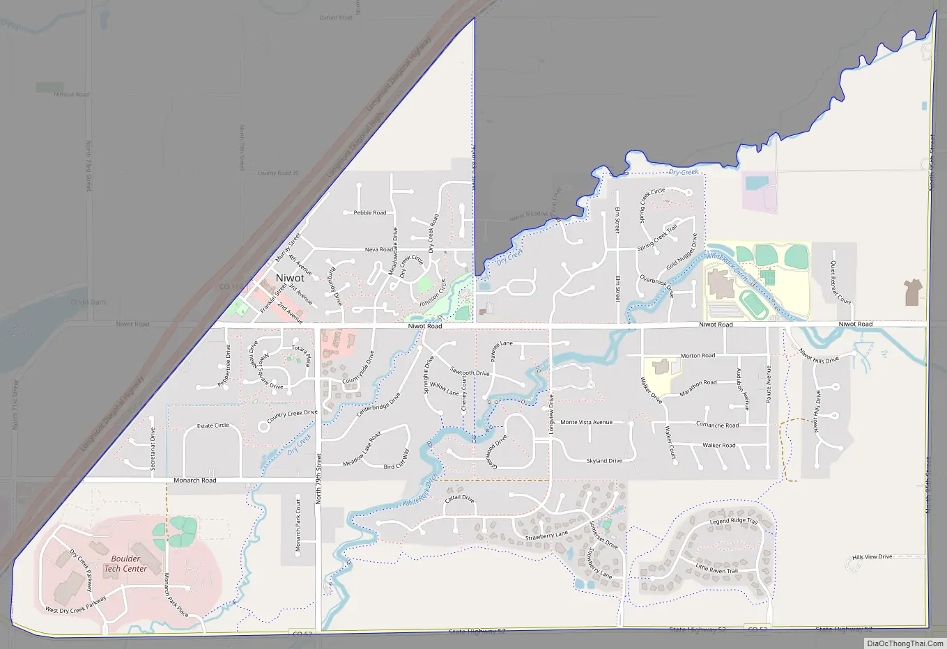
Niwot Road Map
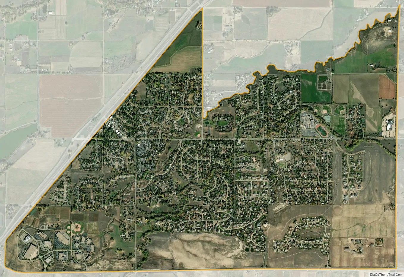
Niwot city Satellite Map
Geography
Niwot is located along State Highway 119, halfway between Boulder and Longmont.
The Niwot CDP has an area of 2,563 acres (10.374 km), including 5.9 acres (0.024 km) of water.
Climate
See also
Map of Colorado State and its subdivision:- Adams
- Alamosa
- Arapahoe
- Archuleta
- Baca
- Bent
- Boulder
- Broomfield
- Chaffee
- Cheyenne
- Clear Creek
- Conejos
- Costilla
- Crowley
- Custer
- Delta
- Denver
- Dolores
- Douglas
- Eagle
- El Paso
- Elbert
- Fremont
- Garfield
- Gilpin
- Grand
- Gunnison
- Hinsdale
- Huerfano
- Jackson
- Jefferson
- Kiowa
- Kit Carson
- La Plata
- Lake
- Larimer
- Las Animas
- Lincoln
- Logan
- Mesa
- Mineral
- Moffat
- Montezuma
- Montrose
- Morgan
- Otero
- Ouray
- Park
- Phillips
- Pitkin
- Prowers
- Pueblo
- Rio Blanco
- Rio Grande
- Routt
- Saguache
- San Juan
- San Miguel
- Sedgwick
- Summit
- Teller
- Washington
- Weld
- Yuma
- Alabama
- Alaska
- Arizona
- Arkansas
- California
- Colorado
- Connecticut
- Delaware
- District of Columbia
- Florida
- Georgia
- Hawaii
- Idaho
- Illinois
- Indiana
- Iowa
- Kansas
- Kentucky
- Louisiana
- Maine
- Maryland
- Massachusetts
- Michigan
- Minnesota
- Mississippi
- Missouri
- Montana
- Nebraska
- Nevada
- New Hampshire
- New Jersey
- New Mexico
- New York
- North Carolina
- North Dakota
- Ohio
- Oklahoma
- Oregon
- Pennsylvania
- Rhode Island
- South Carolina
- South Dakota
- Tennessee
- Texas
- Utah
- Vermont
- Virginia
- Washington
- West Virginia
- Wisconsin
- Wyoming


