The town of Ramah /ˈreɪmə/ is a Statutory Town in El Paso County, Colorado, United States. The population was 111 as of the 2020 census. According to tradition, the name is derived from India.
| Name: | Ramah town |
|---|---|
| LSAD Code: | 43 |
| LSAD Description: | town (suffix) |
| State: | Colorado |
| County: | El Paso County |
| Elevation: | 6,094 ft (1,864 m) |
| Total Area: | 0.25 sq mi (0.64 km²) |
| Land Area: | 0.25 sq mi (0.64 km²) |
| Water Area: | 0.00 sq mi (0.00 km²) |
| Total Population: | 111 |
| Population Density: | 440/sq mi (170/km²) |
| ZIP code: | 80832 |
| Area code: | 719 |
| FIPS code: | 0862660 |
| GNISfeature ID: | 0203671 |
| Website: | www.colorado.gov/ramah |
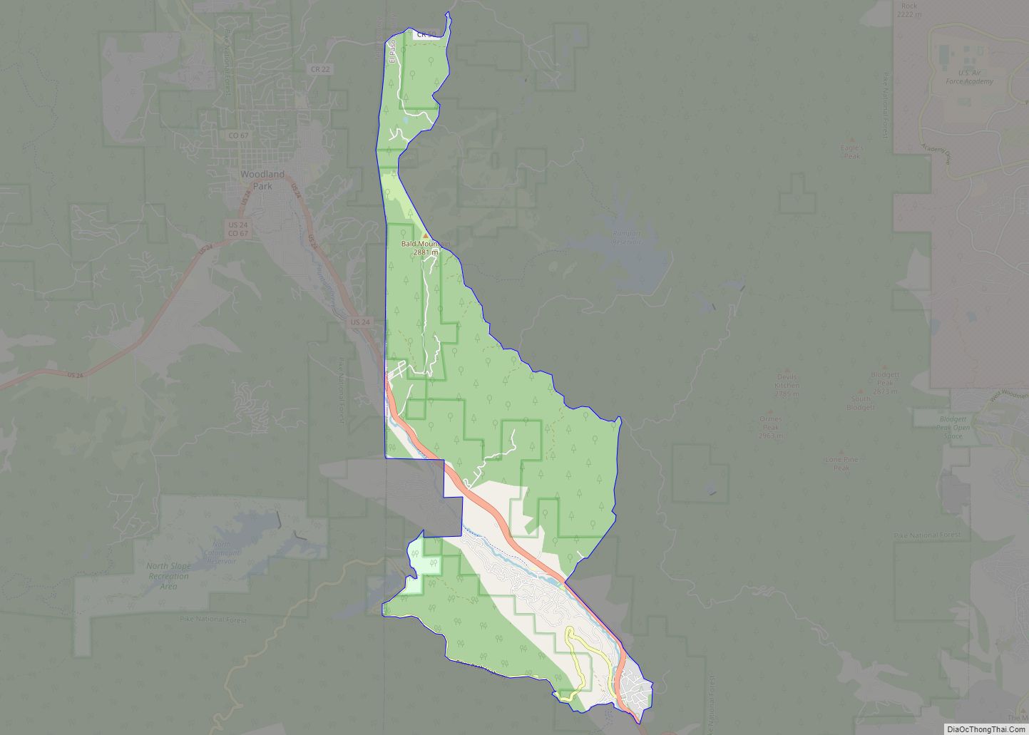
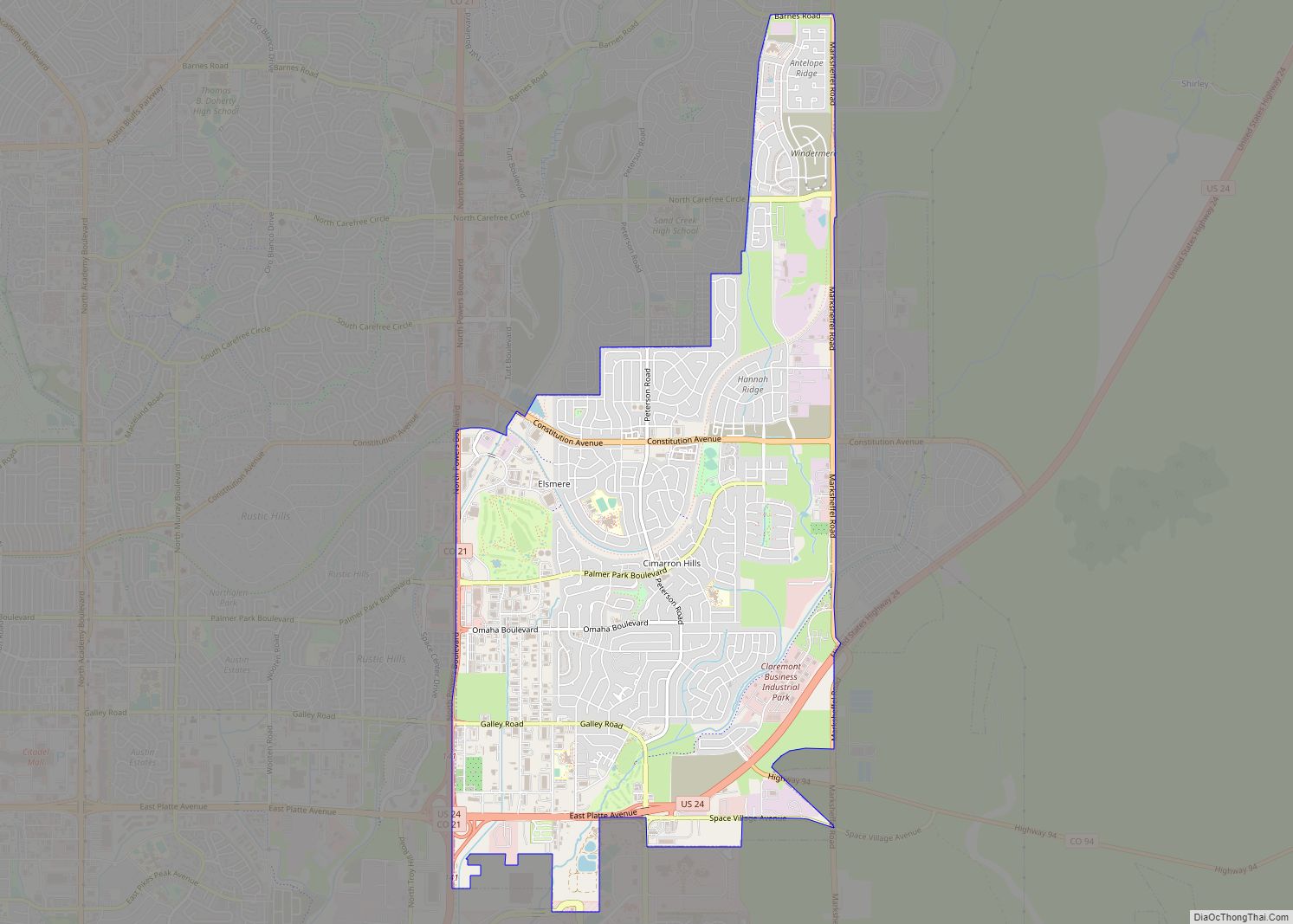
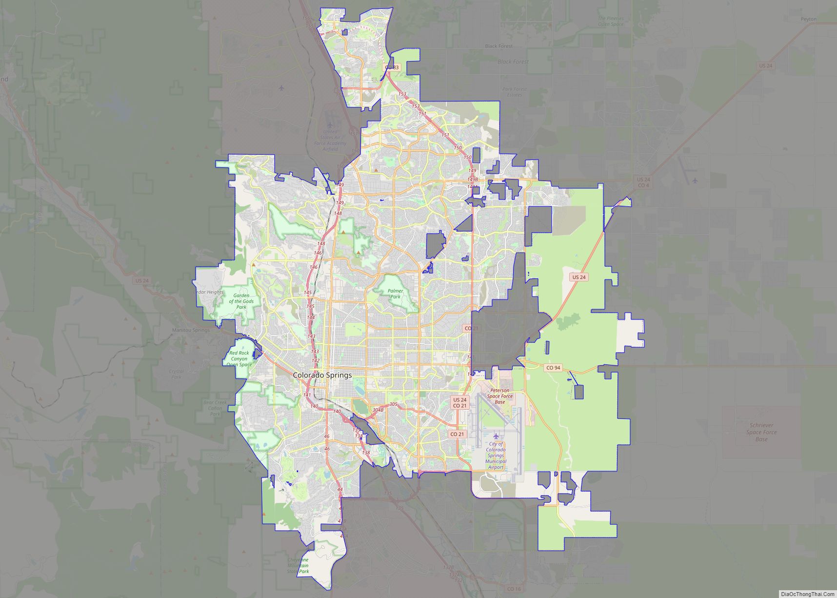
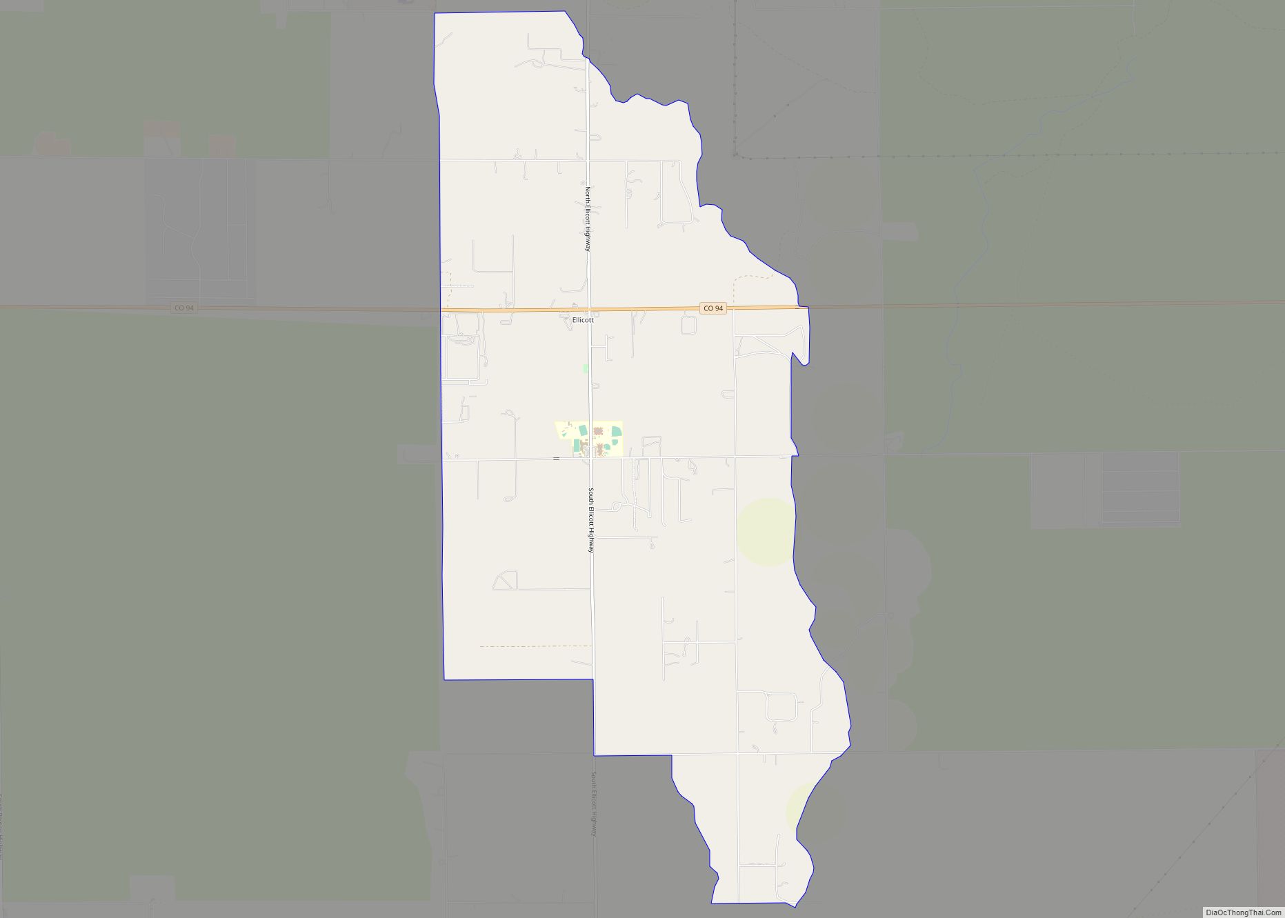
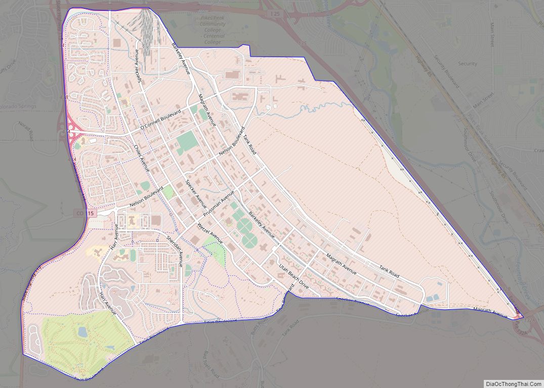
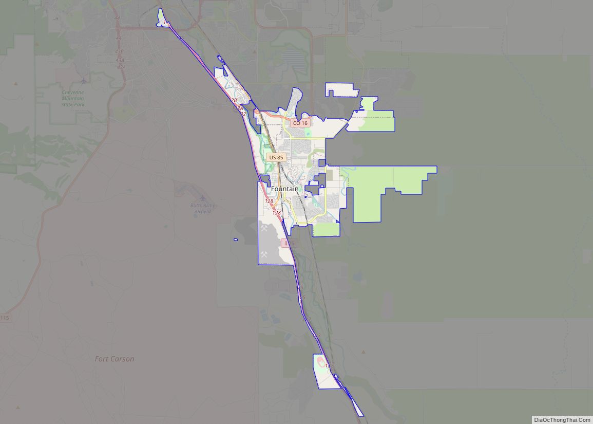
Online Interactive Map
Click on ![]() to view map in "full screen" mode.
to view map in "full screen" mode.
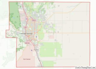
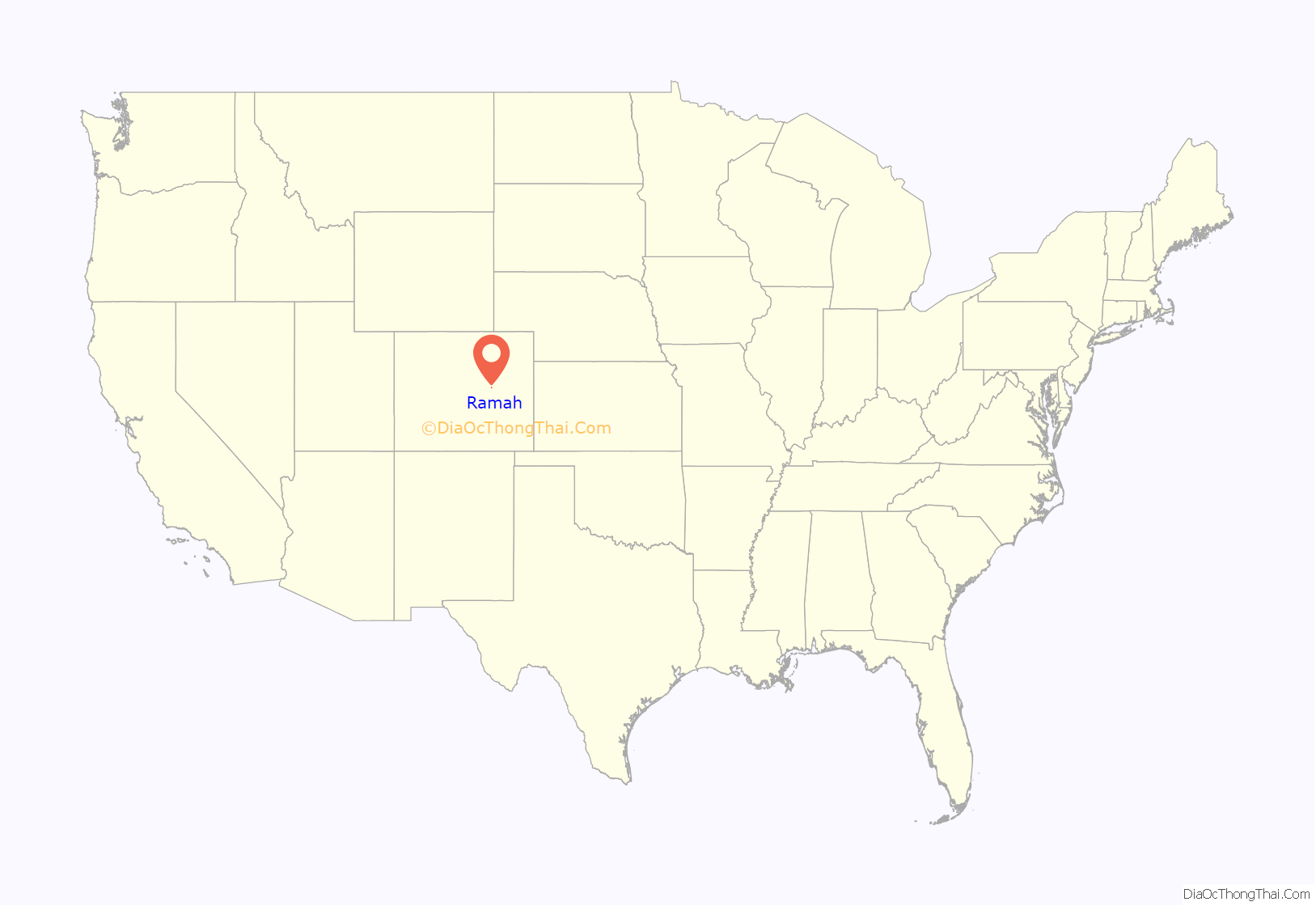
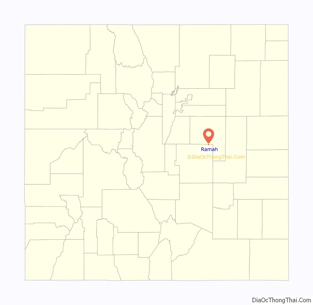
Ramah location map. Where is Ramah town?
History
The area was first settled in a place called Old Zounds, which was 27 miles southeast of Kiowa. The post office, called O.Z. because the applicant just used the initials, existed until at least 1881. The post office was moved from Old Zounds to nearby Ramah in 1889.
Ramah began as a small railroading town along the Rock Island Railroad in the late 1800s. It was incorporated on July 18, 1927. During its peak, it was home to several hundred residents. Eventually, by the mid-1900s, the railroad was shut down, and Ramah suffered, since the railroad connected it to Colorado Springs, forty miles to the southwest. Despite its decline, Ramah continues to exist, with ranching as the mainstay of its economy.
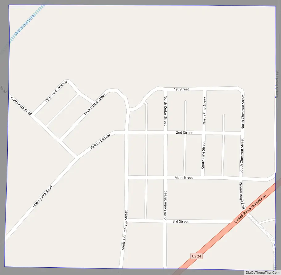
Ramah Road Map
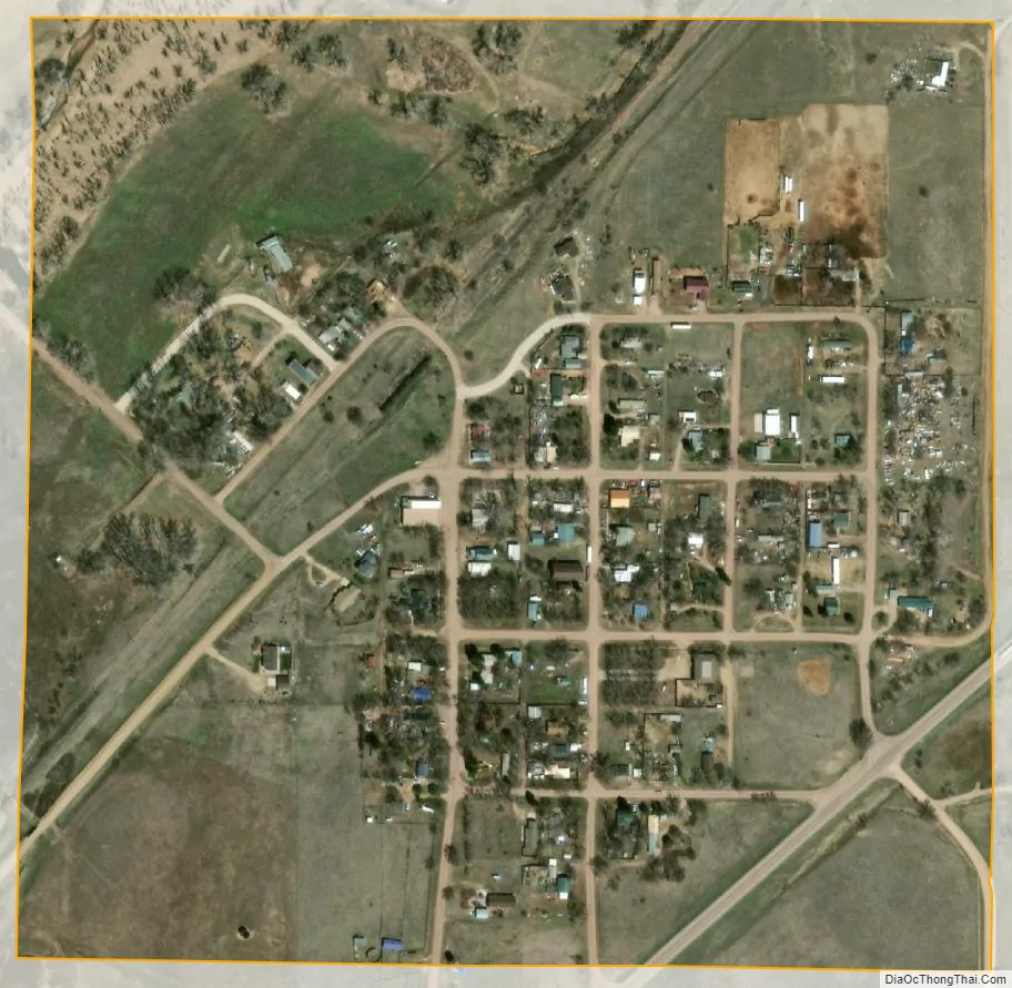
Ramah city Satellite Map
Geography
Ramah is located at 39°7′19″N 104°9′57″W / 39.12194°N 104.16583°W / 39.12194; -104.16583 (39.121838, -104.165824).
According to the United States Census Bureau, the town has a total area of 0.2 square miles (0.52 km), all of it land.
See also
Map of Colorado State and its subdivision:- Adams
- Alamosa
- Arapahoe
- Archuleta
- Baca
- Bent
- Boulder
- Broomfield
- Chaffee
- Cheyenne
- Clear Creek
- Conejos
- Costilla
- Crowley
- Custer
- Delta
- Denver
- Dolores
- Douglas
- Eagle
- El Paso
- Elbert
- Fremont
- Garfield
- Gilpin
- Grand
- Gunnison
- Hinsdale
- Huerfano
- Jackson
- Jefferson
- Kiowa
- Kit Carson
- La Plata
- Lake
- Larimer
- Las Animas
- Lincoln
- Logan
- Mesa
- Mineral
- Moffat
- Montezuma
- Montrose
- Morgan
- Otero
- Ouray
- Park
- Phillips
- Pitkin
- Prowers
- Pueblo
- Rio Blanco
- Rio Grande
- Routt
- Saguache
- San Juan
- San Miguel
- Sedgwick
- Summit
- Teller
- Washington
- Weld
- Yuma
- Alabama
- Alaska
- Arizona
- Arkansas
- California
- Colorado
- Connecticut
- Delaware
- District of Columbia
- Florida
- Georgia
- Hawaii
- Idaho
- Illinois
- Indiana
- Iowa
- Kansas
- Kentucky
- Louisiana
- Maine
- Maryland
- Massachusetts
- Michigan
- Minnesota
- Mississippi
- Missouri
- Montana
- Nebraska
- Nevada
- New Hampshire
- New Jersey
- New Mexico
- New York
- North Carolina
- North Dakota
- Ohio
- Oklahoma
- Oregon
- Pennsylvania
- Rhode Island
- South Carolina
- South Dakota
- Tennessee
- Texas
- Utah
- Vermont
- Virginia
- Washington
- West Virginia
- Wisconsin
- Wyoming