Redstone is an unincorporated town and a census-designated place (CDP) located in and governed by Pitkin County, Colorado, United States. The CDP is a part of the Glenwood Springs, CO Micropolitan Statistical Area. The population of the Redstone CDP was 127 at the United States Census 2020. The Carbondale post office (Zip Code 81623) serves Redstone postal addresses.
The village is listed on the National Register of Historic Places as a historic district and includes several properties that are also separately listed on the National Register.
| Name: | Redstone CDP |
|---|---|
| LSAD Code: | 57 |
| LSAD Description: | CDP (suffix) |
| State: | Colorado |
| County: | Pitkin County |
| Founded: | 1898 |
| Elevation: | 7,185 ft (2,190 m) |
| Total Area: | 0.438 sq mi (1.134 km²) |
| Land Area: | 0.438 sq mi (1.134 km²) |
| Water Area: | 0.000 sq mi (0.000 km²) |
| Total Population: | 127 |
| Population Density: | 290/sq mi (110/km²) |
| ZIP code: | 81623 |
| Area code: | 970 |
| FIPS code: | 0863650 |
Online Interactive Map
Click on ![]() to view map in "full screen" mode.
to view map in "full screen" mode.
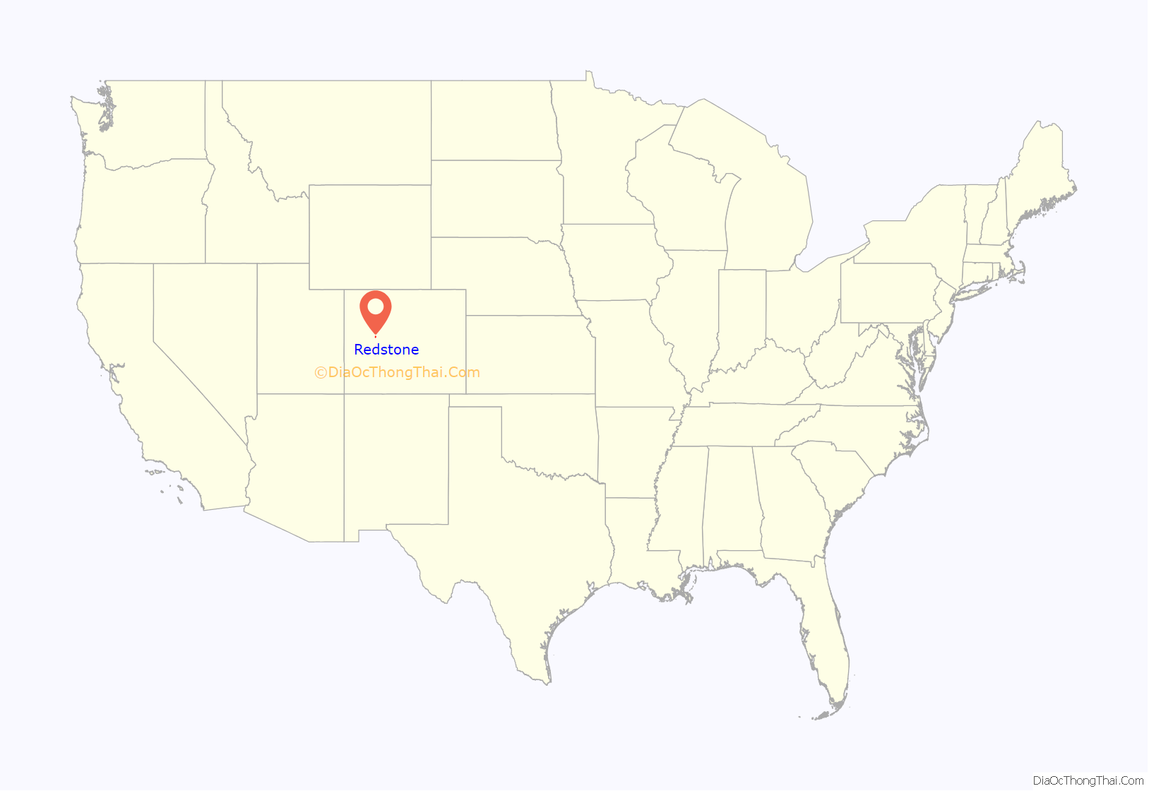
Redstone location map. Where is Redstone CDP?
History
Redstone was established in the late 19th century by industrialist John Cleveland Osgood as part of a coal mining enterprise. Osgood’s coal empire also spurred construction of the Crystal River Railroad and Redstone’s historic dwellings. As an experiment in “enlightened industrial paternalism,” Osgood constructed 84 cottages and a 40-room inn, all with indoor plumbing and electricity, for his coal miners and cokers, as well as modern bathhouse facilities, a club house with a library and a theatre, and a school. Most of these Craftsman-era Swiss-style cottages are still used as homes.
Cleveholm
A dominant feature of Redstone is Cleveholm Manor, commonly called “Redstone Castle,” an opulent 42-room Tudor-style mansion that Osgood built for his second wife, Swedish Countess Alma Regina Shelgrem. Construction of Cleveholm Manor, which was designed by New York architects Boal and Harnois, began in 1897 and was completed in 1901. The Castle was part of a 72-acre (29 ha) estate that also included servants’ quarters, a gamekeeper’s lodge, a carriage house, and a greenhouse. Cleveholm Manor and the gamekeeper’s cottage are both independently listed on the National Register as Osgood Castle and Osgood Gamekeeper’s Lodge, respectively. As of 2004, the Castle still contained 75 percent of its original furnishings.
The historic inn in Redstone, which is independently listed on the National Register as Redstone Inn, is now operated as a resort inn, offering year-round accommodations.
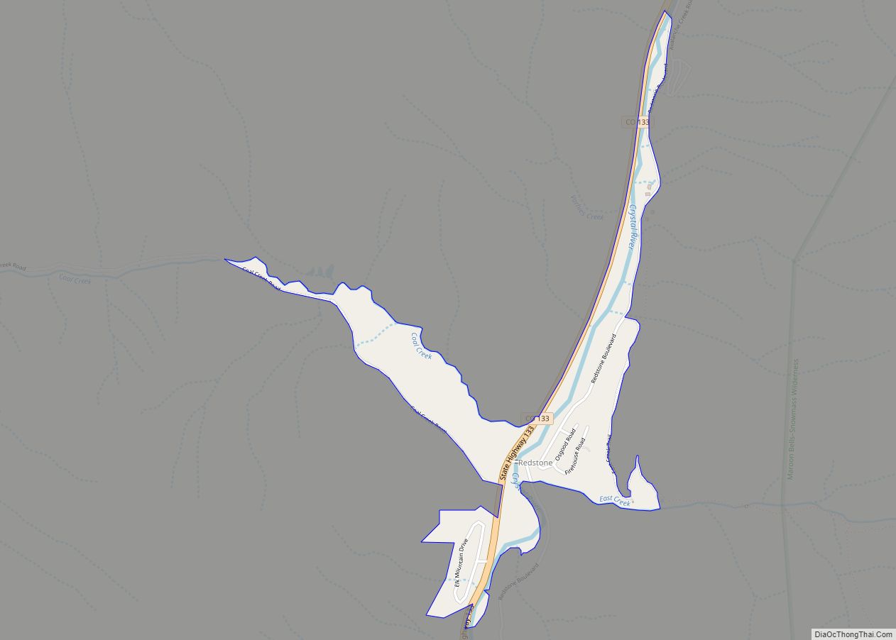
Redstone Road Map
Redstone city Satellite Map
Geography
The Redstone CDP has an area of 280 acres (1.134 km), all land.
Climate
Redstone has a humid continental climate (Koppen: Dfb). Summers are warm with cool nights and winters are cold with extremely heavy snowfall averaging 170 inches (430 cm) annually.
See also
Map of Colorado State and its subdivision:- Adams
- Alamosa
- Arapahoe
- Archuleta
- Baca
- Bent
- Boulder
- Broomfield
- Chaffee
- Cheyenne
- Clear Creek
- Conejos
- Costilla
- Crowley
- Custer
- Delta
- Denver
- Dolores
- Douglas
- Eagle
- El Paso
- Elbert
- Fremont
- Garfield
- Gilpin
- Grand
- Gunnison
- Hinsdale
- Huerfano
- Jackson
- Jefferson
- Kiowa
- Kit Carson
- La Plata
- Lake
- Larimer
- Las Animas
- Lincoln
- Logan
- Mesa
- Mineral
- Moffat
- Montezuma
- Montrose
- Morgan
- Otero
- Ouray
- Park
- Phillips
- Pitkin
- Prowers
- Pueblo
- Rio Blanco
- Rio Grande
- Routt
- Saguache
- San Juan
- San Miguel
- Sedgwick
- Summit
- Teller
- Washington
- Weld
- Yuma
- Alabama
- Alaska
- Arizona
- Arkansas
- California
- Colorado
- Connecticut
- Delaware
- District of Columbia
- Florida
- Georgia
- Hawaii
- Idaho
- Illinois
- Indiana
- Iowa
- Kansas
- Kentucky
- Louisiana
- Maine
- Maryland
- Massachusetts
- Michigan
- Minnesota
- Mississippi
- Missouri
- Montana
- Nebraska
- Nevada
- New Hampshire
- New Jersey
- New Mexico
- New York
- North Carolina
- North Dakota
- Ohio
- Oklahoma
- Oregon
- Pennsylvania
- Rhode Island
- South Carolina
- South Dakota
- Tennessee
- Texas
- Utah
- Vermont
- Virginia
- Washington
- West Virginia
- Wisconsin
- Wyoming
