Security-Widefield is a census-designated place (CDP) comprising the unincorporated communities of Security and Widefield located in and governed by El Paso County, Colorado, United States. The CDP is a part of the Colorado Springs, CO Metropolitan Statistical Area. The population of the Security-Widefield CDP was 38,639 at the United States Census 2020. El Paso County governs the unincorporated communities. Both the Colorado Springs post office (Zip Codes 80911, 80913, and 80925) and the Fountain post office (Zip Code 80817) serve the area.
| Name: | Security-Widefield CDP |
|---|---|
| LSAD Code: | 57 |
| LSAD Description: | CDP (suffix) |
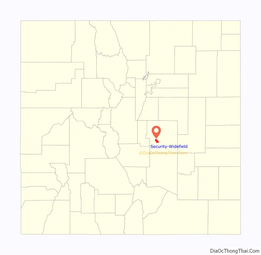
| State: | Colorado |
| County: | El Paso County |
| Elevation: | 5,843 ft (1,781 m) |
| Total Area: | 13.477 sq mi (34.905 km²) |
| Land Area: | 12.993 sq mi (33.653 km²) |
| Water Area: | 0.483 sq mi (1.252 km²) |
| Total Population: | 38,639 |
| Population Density: | 2,900/sq mi (1,100/km²) |
| ZIP code: | Colorado Springs 80911, 80913, and 80925 Fountain 80817 |
| Area code: | 719 |
| FIPS code: | 0868847 |
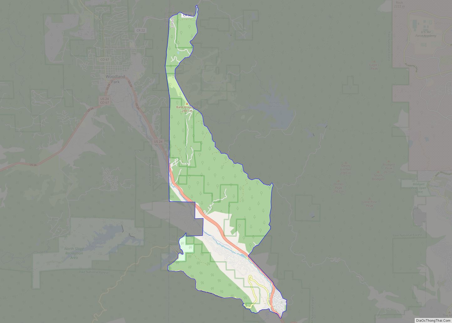
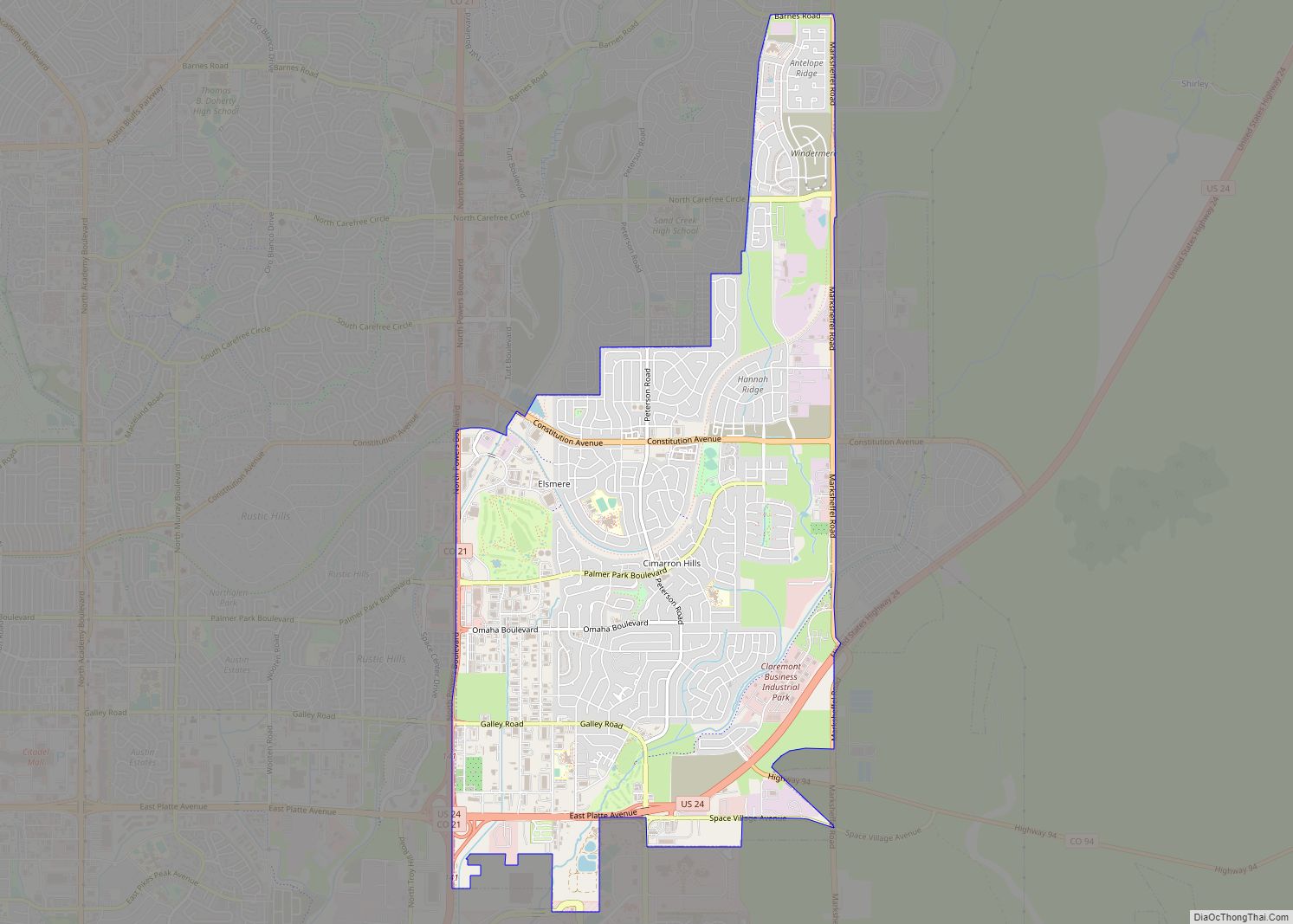
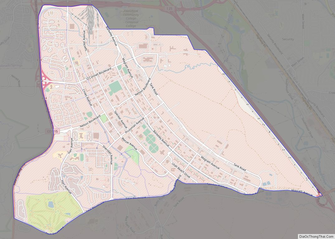
Online Interactive Map
Click on ![]() to view map in "full screen" mode.
to view map in "full screen" mode.
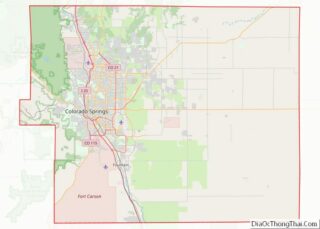
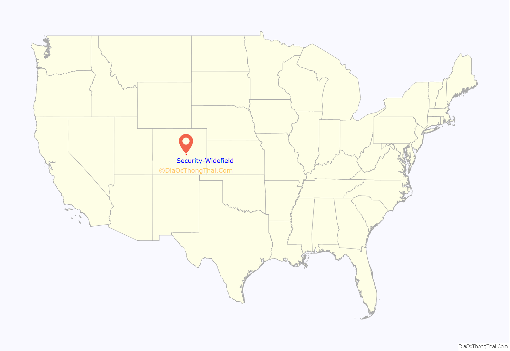
Security-Widefield location map. Where is Security-Widefield CDP?
History
The S.A. Wilson Elementary School in Security-Widefield is a school built in 1959-61. It is listed on the National Register of Historic Places in 2017.
In 1991, Widefield was the site of the United Airlines 585 Crash, which killed all 25 persons aboard. The crash was later determined to have been caused by a defect in the design of the Boeing 737-200’s rudder power control unit.
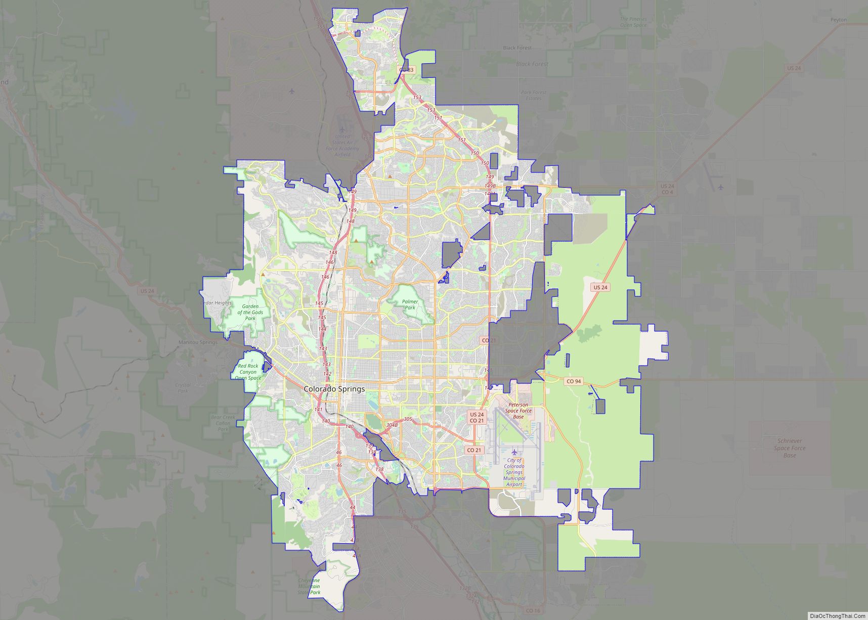
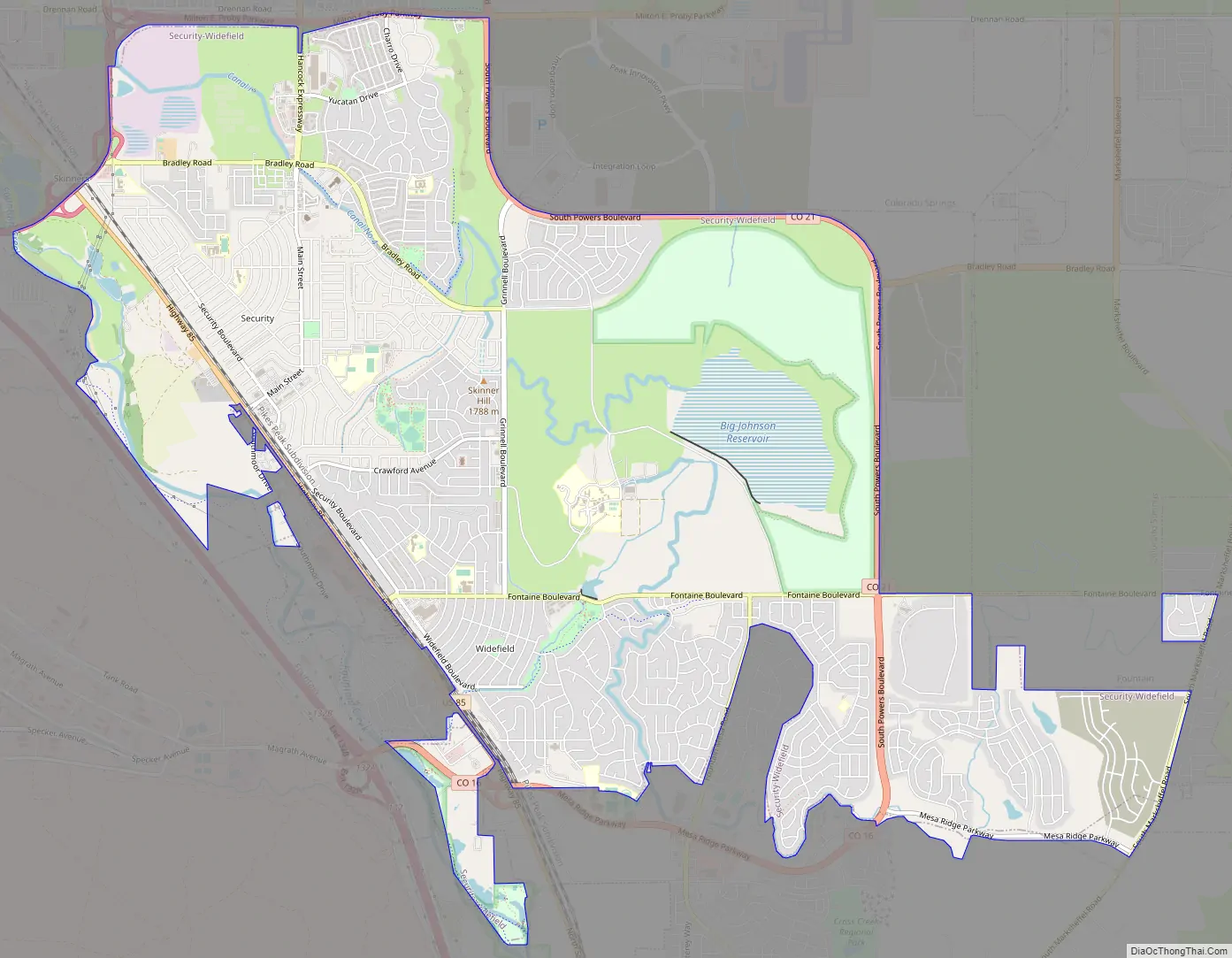
Security-Widefield Road Map
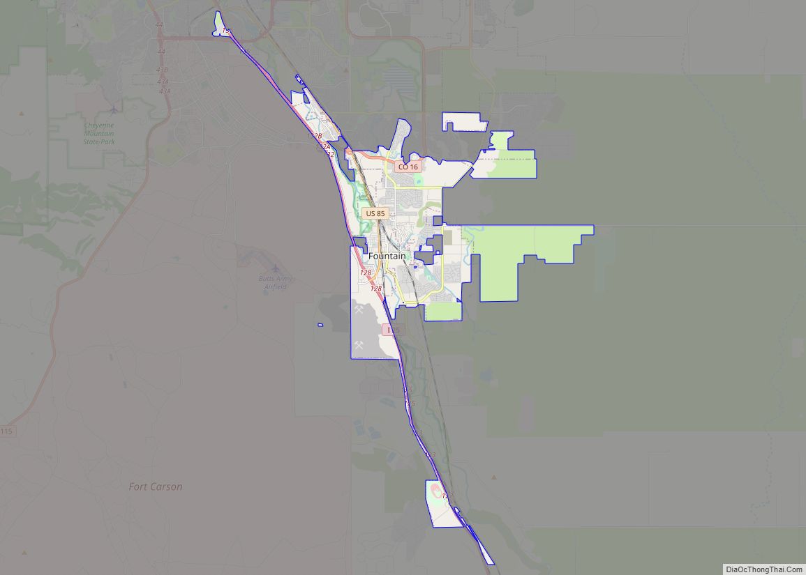
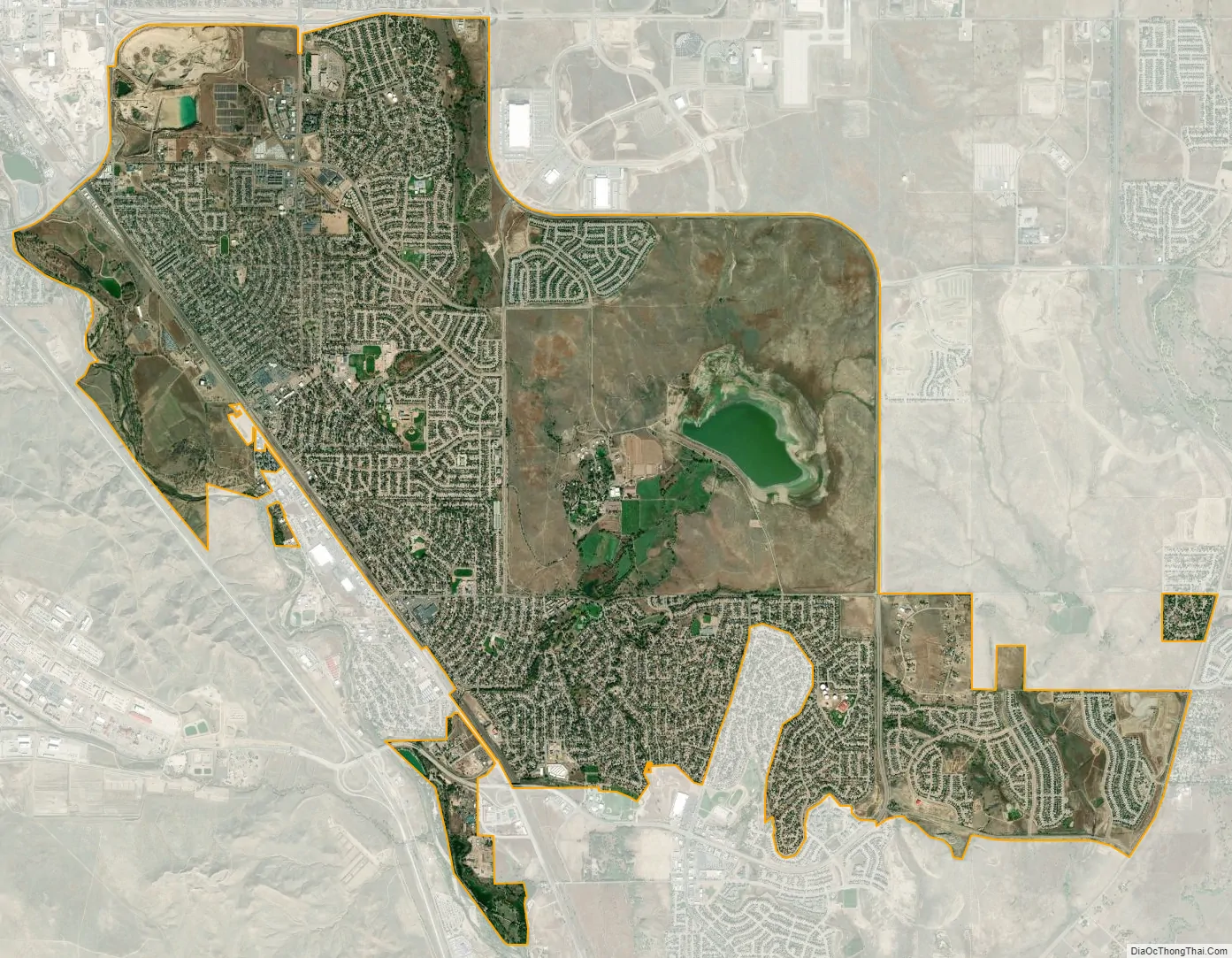
Security-Widefield city Satellite Map
Geography
East-west running Fontaine Boulevard divides Security-Widefield into two parts. Local convention usually regards Security as the section that is north of Fontaine Boulevard, with Widefield considered to be the southern section.
The Security-Widefield CDP has an area of 8,625 acres (34.905 km), including 309 acres (1.252 km) of water.
See also
Map of Colorado State and its subdivision:- Adams
- Alamosa
- Arapahoe
- Archuleta
- Baca
- Bent
- Boulder
- Broomfield
- Chaffee
- Cheyenne
- Clear Creek
- Conejos
- Costilla
- Crowley
- Custer
- Delta
- Denver
- Dolores
- Douglas
- Eagle
- El Paso
- Elbert
- Fremont
- Garfield
- Gilpin
- Grand
- Gunnison
- Hinsdale
- Huerfano
- Jackson
- Jefferson
- Kiowa
- Kit Carson
- La Plata
- Lake
- Larimer
- Las Animas
- Lincoln
- Logan
- Mesa
- Mineral
- Moffat
- Montezuma
- Montrose
- Morgan
- Otero
- Ouray
- Park
- Phillips
- Pitkin
- Prowers
- Pueblo
- Rio Blanco
- Rio Grande
- Routt
- Saguache
- San Juan
- San Miguel
- Sedgwick
- Summit
- Teller
- Washington
- Weld
- Yuma
- Alabama
- Alaska
- Arizona
- Arkansas
- California
- Colorado
- Connecticut
- Delaware
- District of Columbia
- Florida
- Georgia
- Hawaii
- Idaho
- Illinois
- Indiana
- Iowa
- Kansas
- Kentucky
- Louisiana
- Maine
- Maryland
- Massachusetts
- Michigan
- Minnesota
- Mississippi
- Missouri
- Montana
- Nebraska
- Nevada
- New Hampshire
- New Jersey
- New Mexico
- New York
- North Carolina
- North Dakota
- Ohio
- Oklahoma
- Oregon
- Pennsylvania
- Rhode Island
- South Carolina
- South Dakota
- Tennessee
- Texas
- Utah
- Vermont
- Virginia
- Washington
- West Virginia
- Wisconsin
- Wyoming