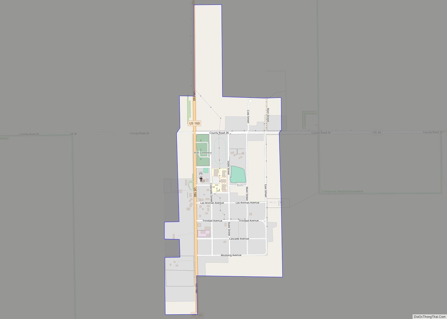
Segundo is an unincorporated community and a census-designated place (CDP) located in and governed by Las Animas County, Colorado, United States. The population of the Segundo CDP was 100 at the United States Census 2020. The Trinidad post office (Zip Code 81082) serves the area.
| Name: | Segundo CDP |
|---|---|
| LSAD Code: | 57 |
| LSAD Description: | CDP (suffix) |
| State: | Colorado |
| County: | Las Animas County |
| Founded: | 1904 |
| Elevation: | 6,598 ft (2,011 m) |
| Total Area: | 0.694 sq mi (1.797 km²) |
| Land Area: | 0.694 sq mi (1.797 km²) |
| Water Area: | 0.000 sq mi (0.000 km²) |
| Total Population: | 100 |
| Population Density: | 140/sq mi (56/km²) |
| ZIP code: | Trinidad 81082 |
| Area code: | 719 |
| FIPS code: | 0868985 |
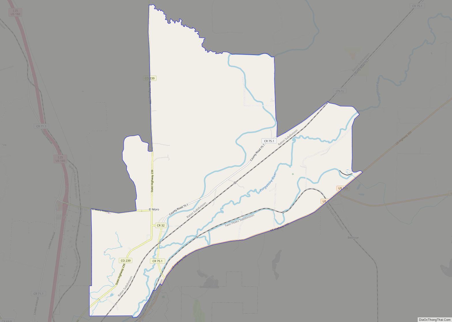
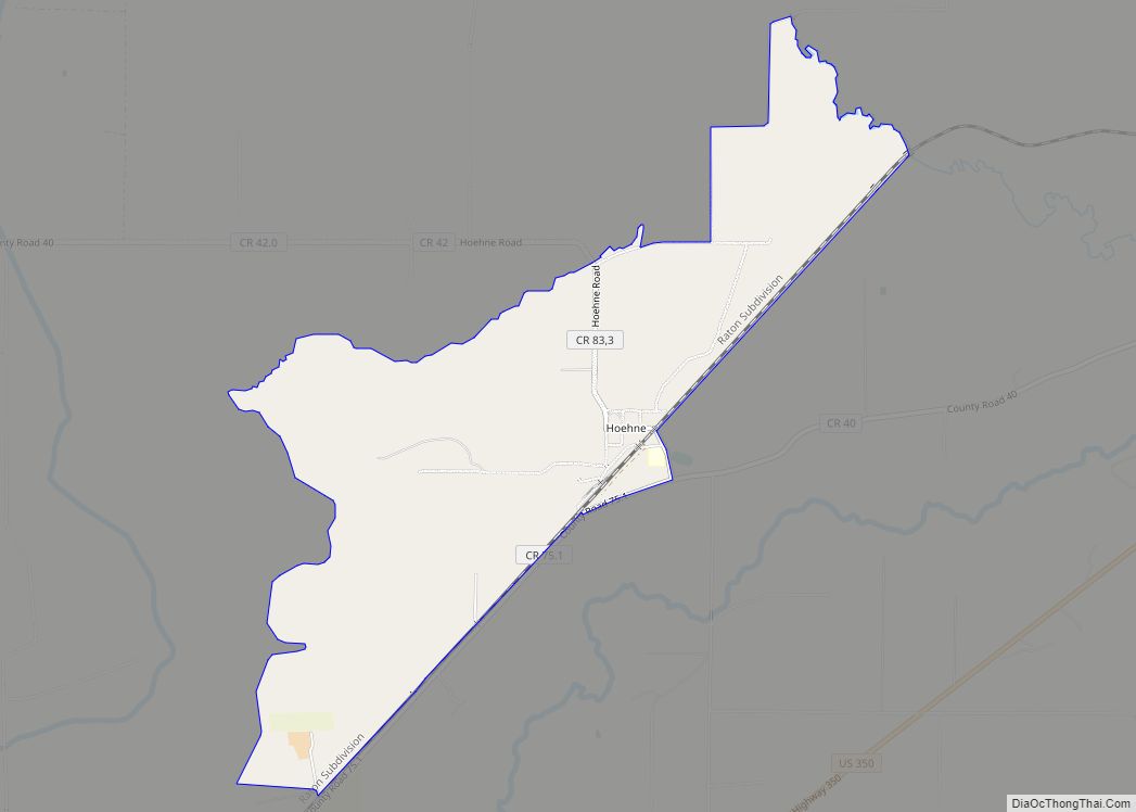
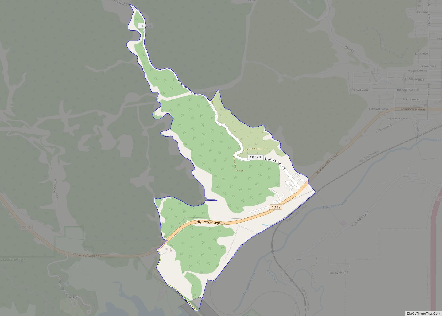
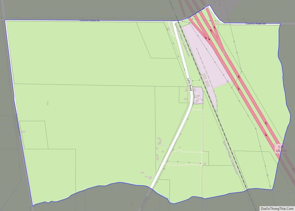
Online Interactive Map
Click on ![]() to view map in "full screen" mode.
to view map in "full screen" mode.
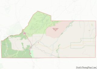
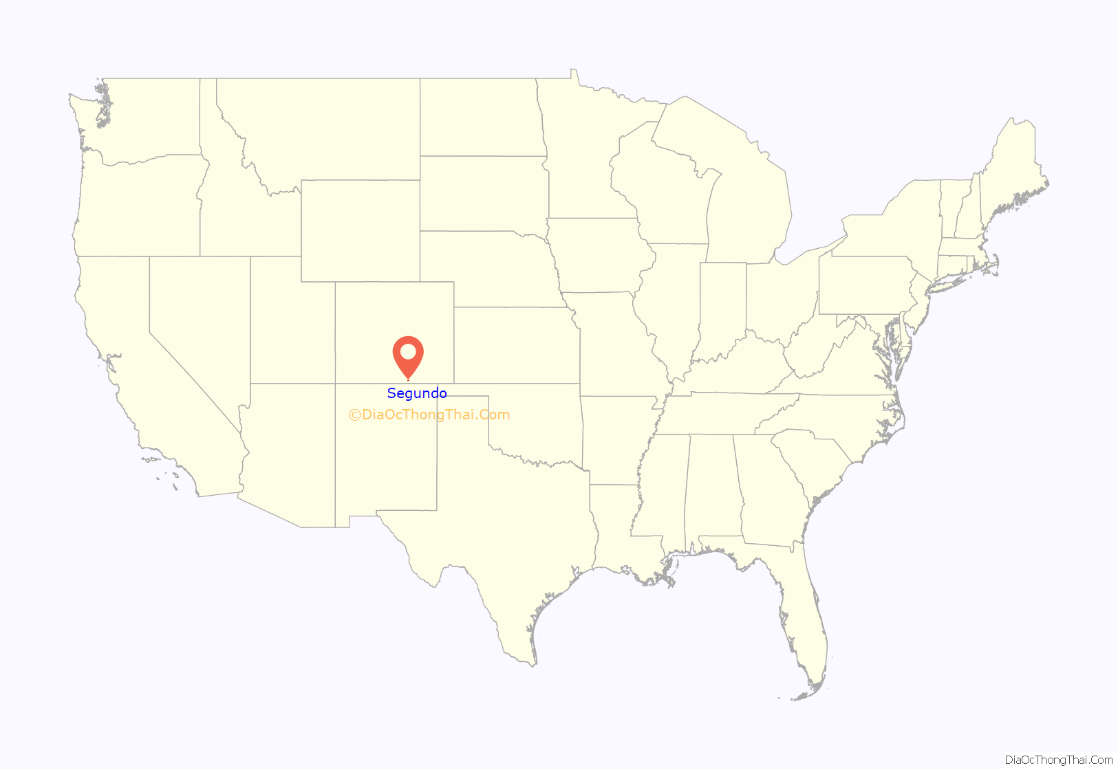
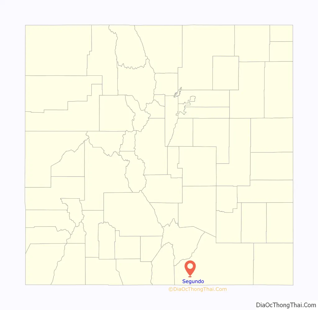
Segundo location map. Where is Segundo CDP?
History
Segundo was founded by Colorado Fuel and Iron (CF&I) as a company town to house its workers for a local coal mine. The town was the second mining community developed by CF&I in 1904 behind Primero and was referenced in the town’s name, with segundo meaning “second” in Spanish. CF&I offered adequate housing for the time, and promoted upward mobility through its sponsorship of a YMCA center, an elementary school, small businesses, and a company store. Segundo was a prosperous town until the 1920s, when the population began to decline due to constant health issues related to air pollution and outdated housing that lacked indoor plumbing. Declines in demand for metallurgical coke led to workers being laid off and, following a major fire in 1929, CF&I ceased their operations in Segundo. The town’s population plummeted to the point that it almost became a ghost town.
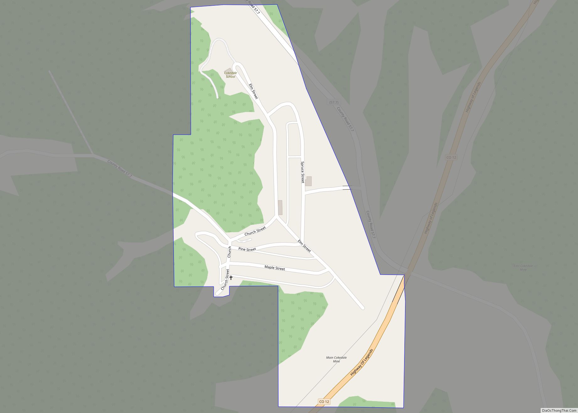
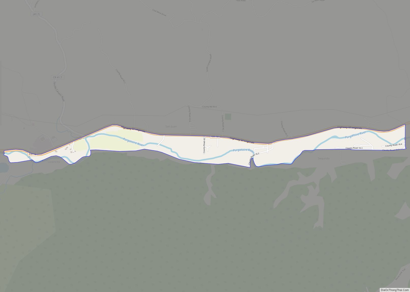
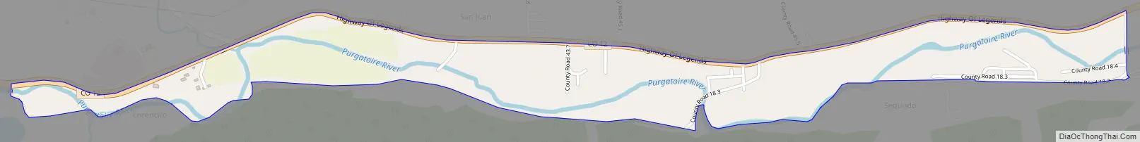
Segundo Road Map
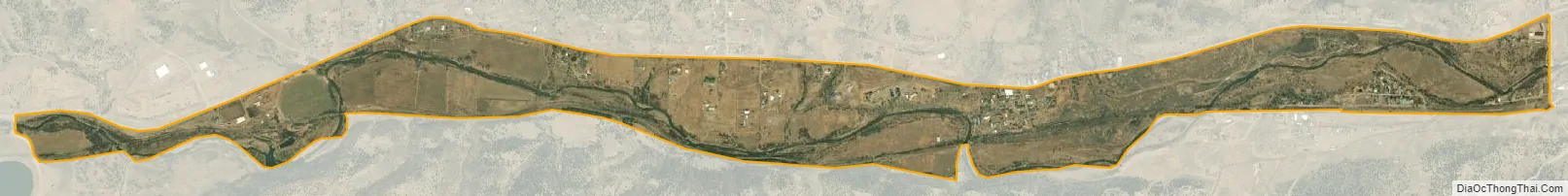
Segundo city Satellite Map
Geography
Segundo is located 14 miles (23 km) west of Trinidad along Colorado State Highway 12 in the valley of the Purgatoire River.
The Segundo CDP has an area of 444 acres (1.797 km), all land.
See also
Map of Colorado State and its subdivision:- Adams
- Alamosa
- Arapahoe
- Archuleta
- Baca
- Bent
- Boulder
- Broomfield
- Chaffee
- Cheyenne
- Clear Creek
- Conejos
- Costilla
- Crowley
- Custer
- Delta
- Denver
- Dolores
- Douglas
- Eagle
- El Paso
- Elbert
- Fremont
- Garfield
- Gilpin
- Grand
- Gunnison
- Hinsdale
- Huerfano
- Jackson
- Jefferson
- Kiowa
- Kit Carson
- La Plata
- Lake
- Larimer
- Las Animas
- Lincoln
- Logan
- Mesa
- Mineral
- Moffat
- Montezuma
- Montrose
- Morgan
- Otero
- Ouray
- Park
- Phillips
- Pitkin
- Prowers
- Pueblo
- Rio Blanco
- Rio Grande
- Routt
- Saguache
- San Juan
- San Miguel
- Sedgwick
- Summit
- Teller
- Washington
- Weld
- Yuma
- Alabama
- Alaska
- Arizona
- Arkansas
- California
- Colorado
- Connecticut
- Delaware
- District of Columbia
- Florida
- Georgia
- Hawaii
- Idaho
- Illinois
- Indiana
- Iowa
- Kansas
- Kentucky
- Louisiana
- Maine
- Maryland
- Massachusetts
- Michigan
- Minnesota
- Mississippi
- Missouri
- Montana
- Nebraska
- Nevada
- New Hampshire
- New Jersey
- New Mexico
- New York
- North Carolina
- North Dakota
- Ohio
- Oklahoma
- Oregon
- Pennsylvania
- Rhode Island
- South Carolina
- South Dakota
- Tennessee
- Texas
- Utah
- Vermont
- Virginia
- Washington
- West Virginia
- Wisconsin
- Wyoming