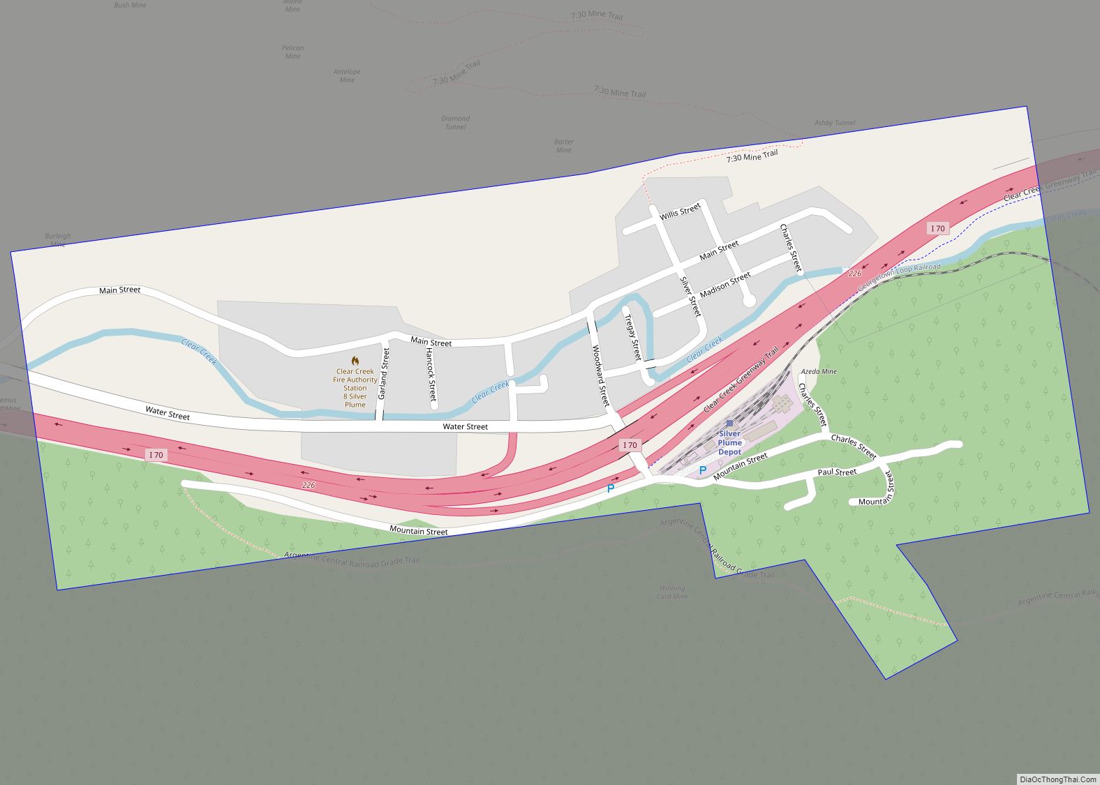
Silver Plume is a Statutory Town located in Clear Creek County, Colorado, United States. Silver Plume is a former silver mining camp along Clear Creek in the Front Range of the Rocky Mountains. The federally designated Georgetown-Silver Plume Historic District comprises Silver Plume, the neighboring town of Georgetown, and the Georgetown Loop Historic Mining & Railroad Park between the two towns.
The town population was 207 at the 2020 census. The Silver Plume Post Office has the ZIP code 80476.
| Name: | Silver Plume town |
|---|---|
| LSAD Code: | 43 |
| LSAD Description: | town (suffix) |
| State: | Colorado |
| County: | Clear Creek County |
| Incorporated: | September 24, 1880 |
| Elevation: | 9,101 ft (2,774 m) |
| Total Area: | 0.26 sq mi (0.68 km²) |
| Land Area: | 0.26 sq mi (0.67 km²) |
| Water Area: | 0.00 sq mi (0.01 km²) |
| Total Population: | 207 |
| Population Density: | 800/sq mi (300/km²) |
| ZIP code: | 80476 |
| Area code: | Both 303 and 720 |
| FIPS code: | 0870360 |
| GNISfeature ID: | 0181905 |
| Website: | townofsilverplume.com |
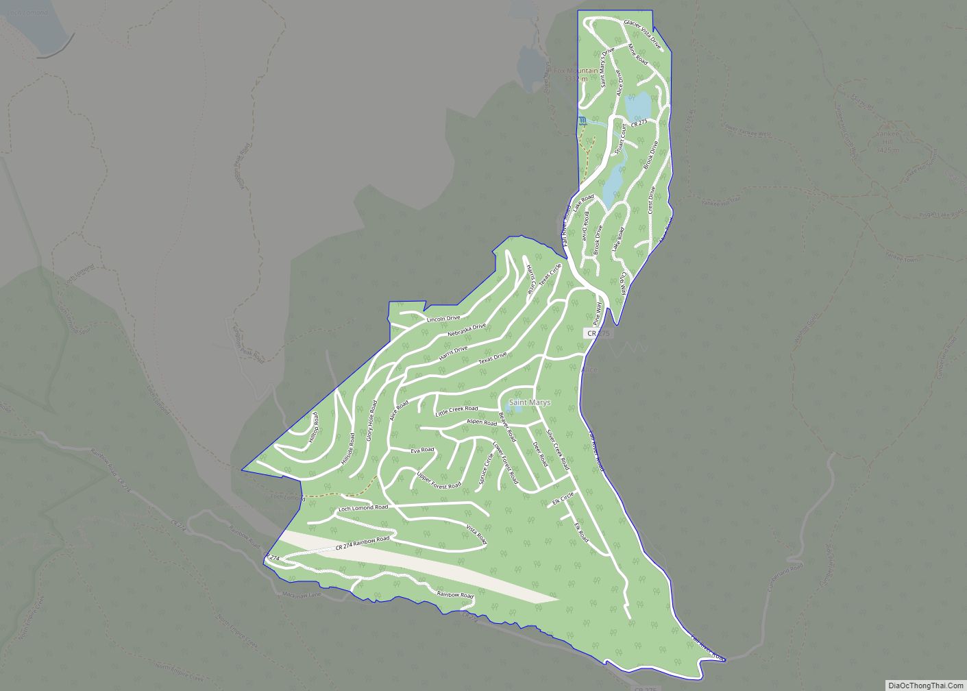
Online Interactive Map
Click on ![]() to view map in "full screen" mode.
to view map in "full screen" mode.
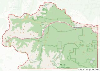
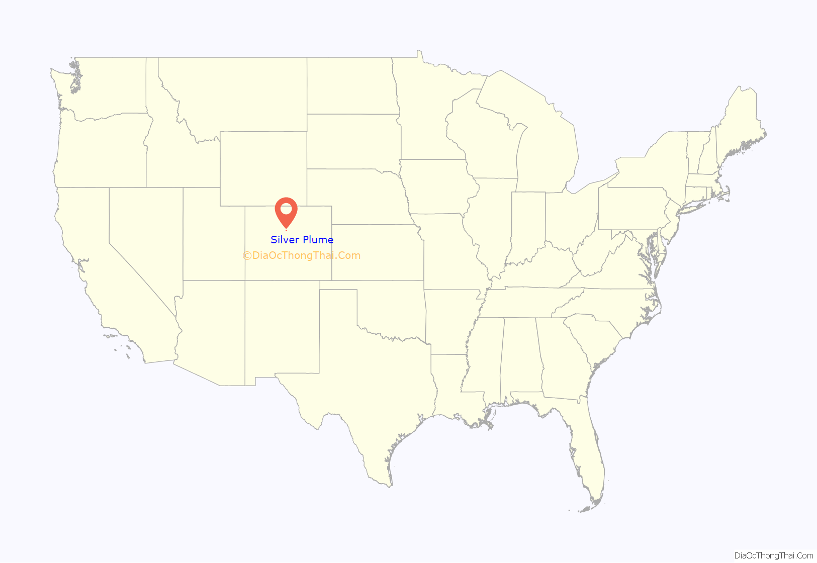
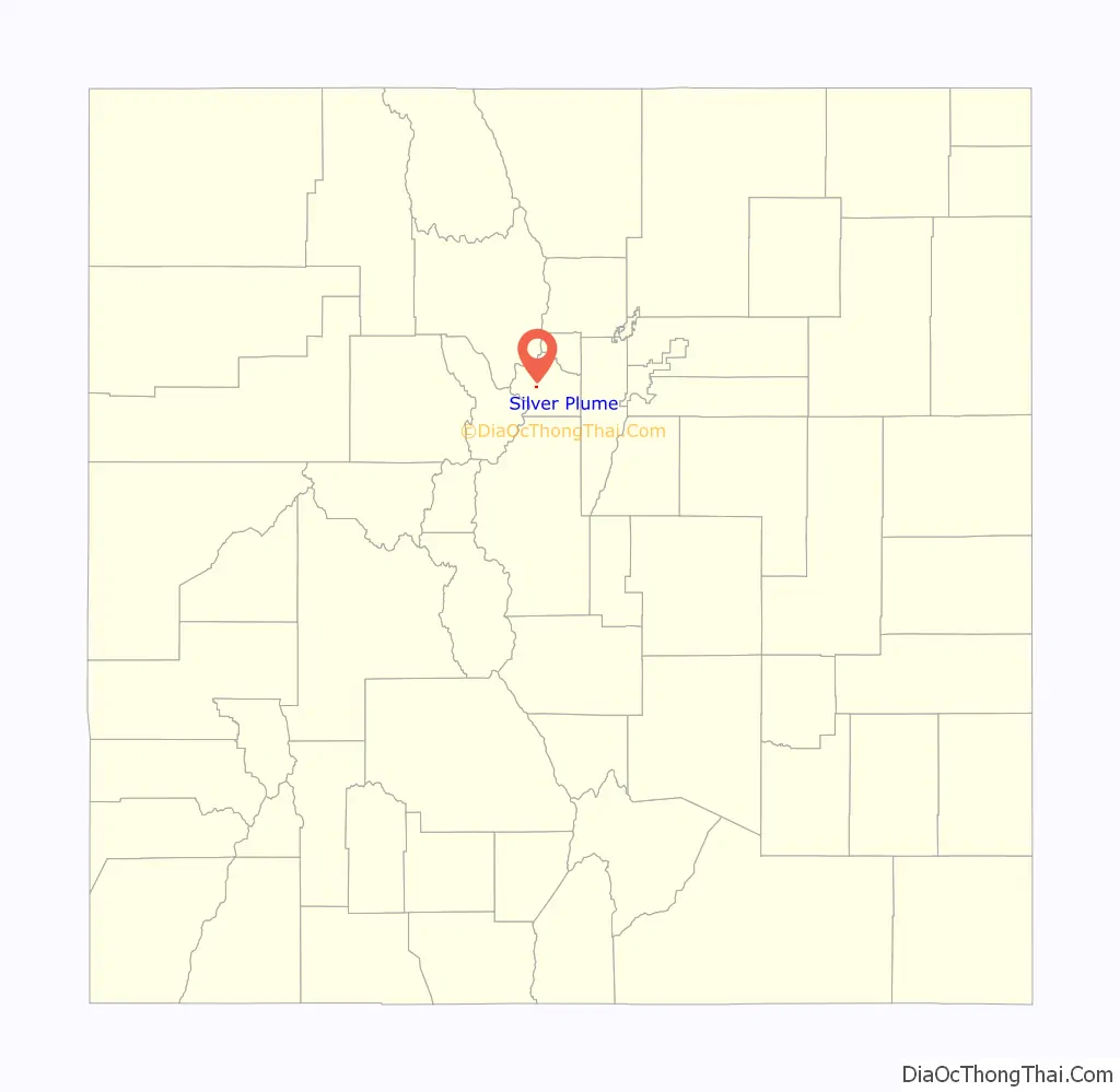
Silver Plume location map. Where is Silver Plume town?
History
The town of Silver Plume has a very rich history. That history can be viewed by the general public either at the George Rowe Museum, which is in the original school house of the town, or by walking the 7:30 Mine Trail, which gives the individual a grand view of the Silver Plume valley and the town nestled at its base.
Many tales circulate about the town. One involves its naming. According to records and legends, Louis Dupuy, the owner of the Hotel De Paris, was also a newspaper editor for the town. When miners from Silver Plume brought him samples of the town’s ore and asked him what they should name the small camp, he allegedly wrote a short poem on the spot:
Knights today are miners bold,
Who delve in deep mines’ gloom,
To honor men who dig for gold,
For ladies whom their arms enfold,
We’ll name the town Silver Plume!
Many other legends abound about the small “Living Ghost Town”. One involves a much-beloved citizen from the mining days, Clifford Griffin. According to legend, Mr. Griffin came from the state of New York, where he was raised. Griffin became engaged in New York, but his fiancée tragically, and mysteriously, died the night before their wedding. Her death was contributed to unnameable “natural causes”, and to escape the painful memories of his beloved, he moved to Colorado with his brother, who eventually became the owner of the 7:30 Mine (so named because their day shift started a generous hour later than the other mines, who started at 6:30 AM). Clifford became the manager of the 7:30, and was much loved by his miners for his kindness. According to local legend, every Christmas he bought all his miners a goose for their families, and every Fourth of July, he paid off every bar between Silver Plume and current-day Bakerville 4 miles (6 km) to the west, so his miners could enjoy their holiday without spending their family’s money. Not only did he take care of his miners, every evening he provided them with entertainment as well. Since he could not bear the daily sight of his men with their wives and families after his tragedy, he spent a great deal of time near the entrance to the 7:30, which sits about 1,500 feet (460 m) above the town of Silver Plume. Every evening he would sit near the edge of a nearby cliff and play his violin. Due to the incredible acoustics of the valley, the entire town could step outside and listen to his concerts. According to local legend, one evening, after a particularly beautiful recital, the residents heard a gunshot. Assuming the worst, the miners of the 7:30 raced up the trail to the entrance, and there they found Clifford Griffin, shot through the heart, in a grave he’d dug himself. A note in the nearby Manager’s Office told the tale. It asked the residents of Silver Plume to leave him where he lay, because that’s where he’d experienced the most happiness since his wife died. Not only did they follow his request, the town erected a 10-foot-tall Gunnison Granite monument in his honor, directly on top of his grave site. The monument can still be seen today, on the cliffs directly in front of the 7:30 Mine.
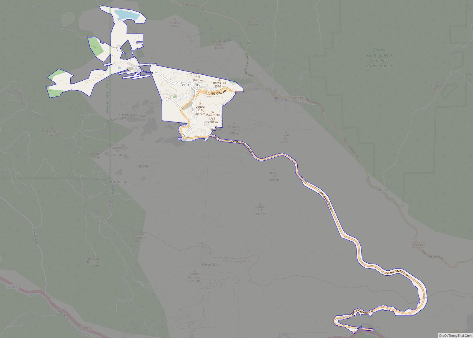
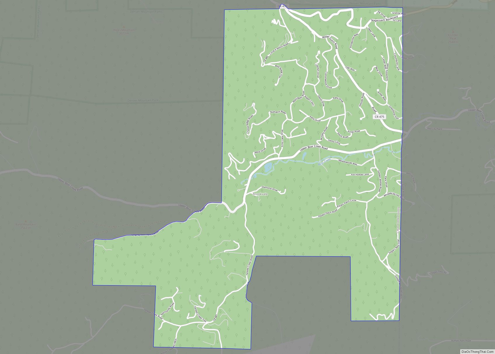
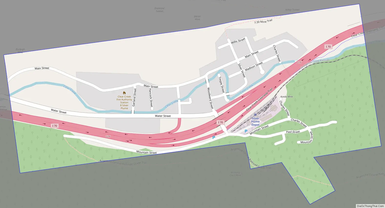
Silver Plume Road Map
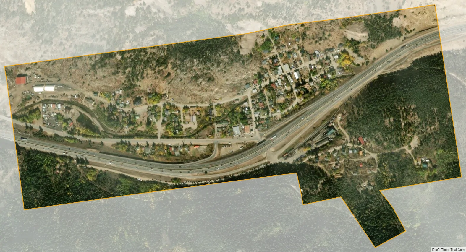
Silver Plume city Satellite Map
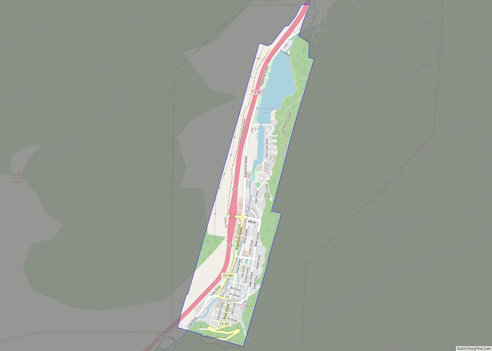
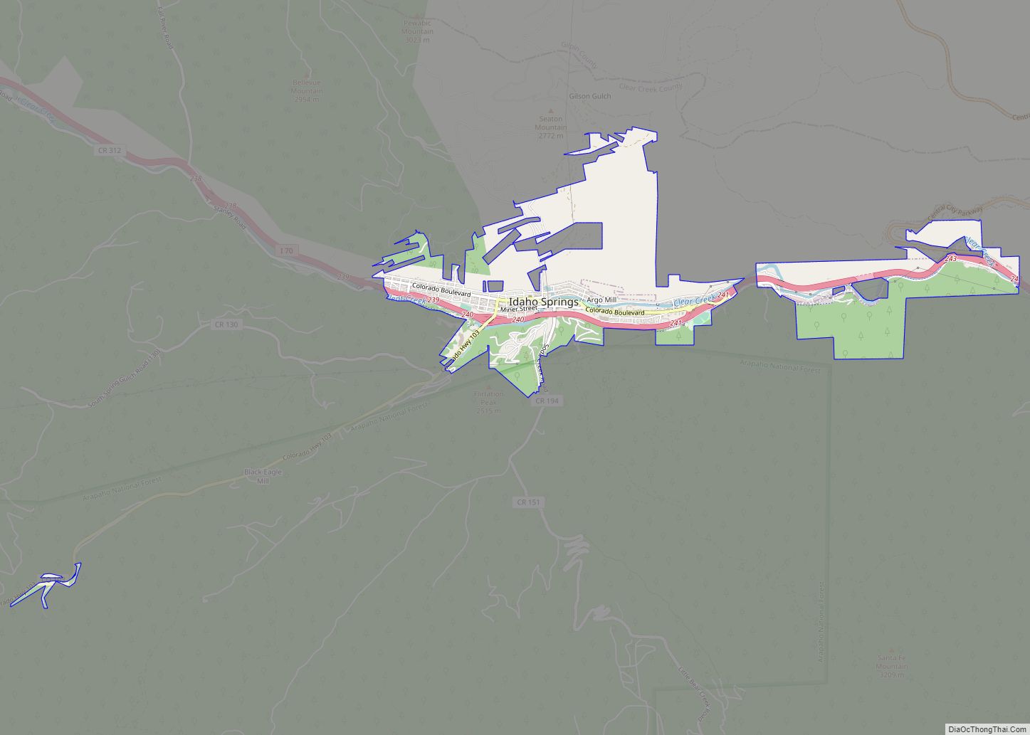
Geography
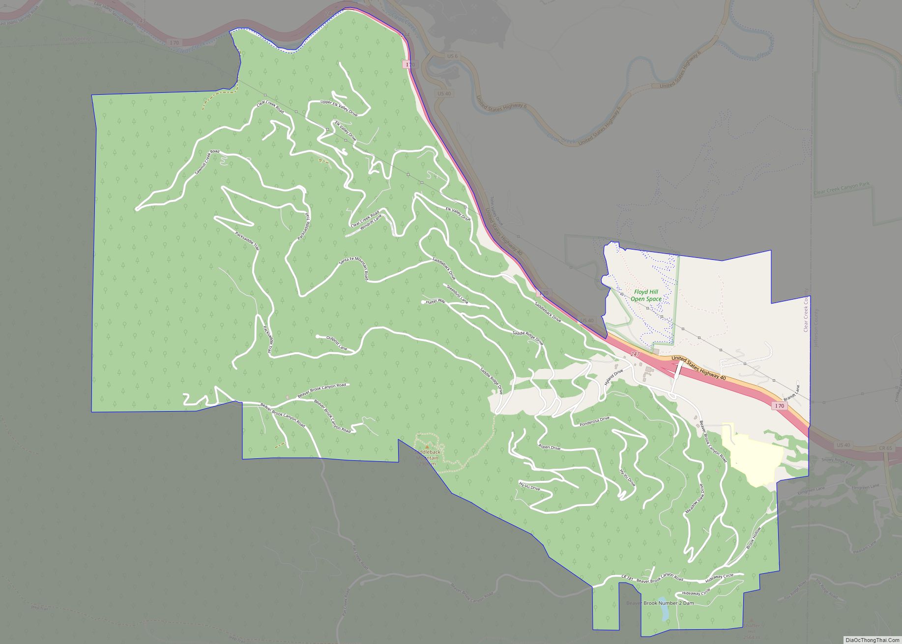
Silver Plume is located in the valley of Clear Creek at 39°41′45″N 105°43′34″W / 39.69583°N 105.72611°W / 39.69583; -105.72611 (39.695919, -105.726066). Interstate 70 and U.S. Route 6 pass through the town, with access from Exit 226. It is 20 miles (32 km) west across the Continental Divide to Silverthorne and 46 miles (74 km) east to Denver.
According to the United States Census Bureau, the town of Silver Plume has a total area of 0.2 square miles (0.6 km), all of it land.
See also
Map of Colorado State and its subdivision:- Adams
- Alamosa
- Arapahoe
- Archuleta
- Baca
- Bent
- Boulder
- Broomfield
- Chaffee
- Cheyenne
- Clear Creek
- Conejos
- Costilla
- Crowley
- Custer
- Delta
- Denver
- Dolores
- Douglas
- Eagle
- El Paso
- Elbert
- Fremont
- Garfield
- Gilpin
- Grand
- Gunnison
- Hinsdale
- Huerfano
- Jackson
- Jefferson
- Kiowa
- Kit Carson
- La Plata
- Lake
- Larimer
- Las Animas
- Lincoln
- Logan
- Mesa
- Mineral
- Moffat
- Montezuma
- Montrose
- Morgan
- Otero
- Ouray
- Park
- Phillips
- Pitkin
- Prowers
- Pueblo
- Rio Blanco
- Rio Grande
- Routt
- Saguache
- San Juan
- San Miguel
- Sedgwick
- Summit
- Teller
- Washington
- Weld
- Yuma
- Alabama
- Alaska
- Arizona
- Arkansas
- California
- Colorado
- Connecticut
- Delaware
- District of Columbia
- Florida
- Georgia
- Hawaii
- Idaho
- Illinois
- Indiana
- Iowa
- Kansas
- Kentucky
- Louisiana
- Maine
- Maryland
- Massachusetts
- Michigan
- Minnesota
- Mississippi
- Missouri
- Montana
- Nebraska
- Nevada
- New Hampshire
- New Jersey
- New Mexico
- New York
- North Carolina
- North Dakota
- Ohio
- Oklahoma
- Oregon
- Pennsylvania
- Rhode Island
- South Carolina
- South Dakota
- Tennessee
- Texas
- Utah
- Vermont
- Virginia
- Washington
- West Virginia
- Wisconsin
- Wyoming