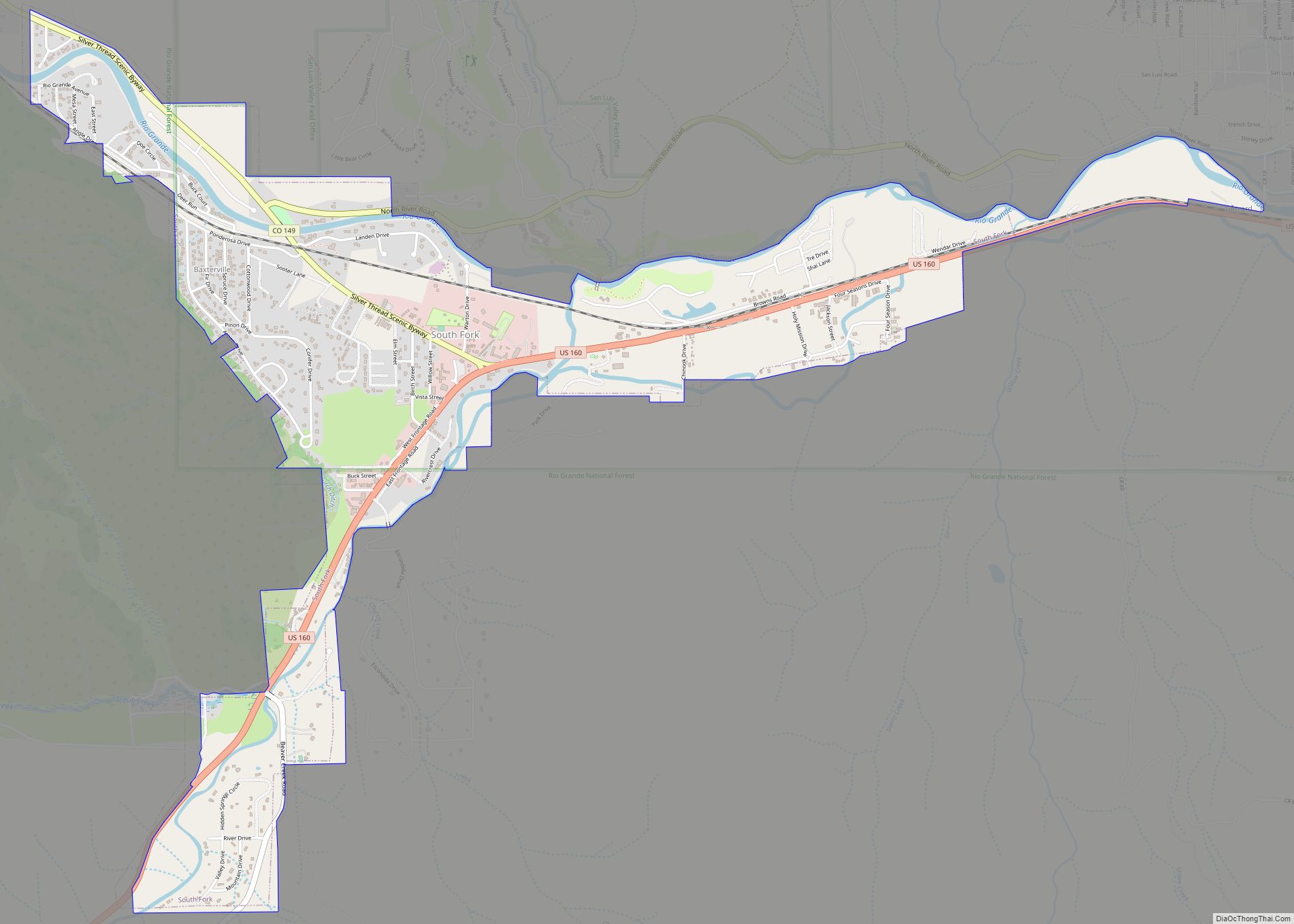
South Fork is a statutory town in Rio Grande County, Colorado, United States. It lies at the confluence of the South Fork and Rio Grande rivers. The population was 510 at the 2020 census.
| Name: | South Fork town |
|---|---|
| LSAD Code: | 43 |
| LSAD Description: | town (suffix) |
| State: | Colorado |
| County: | Rio Grande County |
| Incorporated: | May 19, 1992 |
| Elevation: | 8,209 ft (2,502 m) |
| Total Area: | 2.50 sq mi (6.47 km²) |
| Land Area: | 2.50 sq mi (6.47 km²) |
| Water Area: | 0.00 sq mi (0.00 km²) |
| Total Population: | 510 |
| Population Density: | 200/sq mi (79/km²) |
| ZIP code: | 81154 |
| Area code: | 719 |
| FIPS code: | 0872395 |
| GNISfeature ID: | 0203420 |
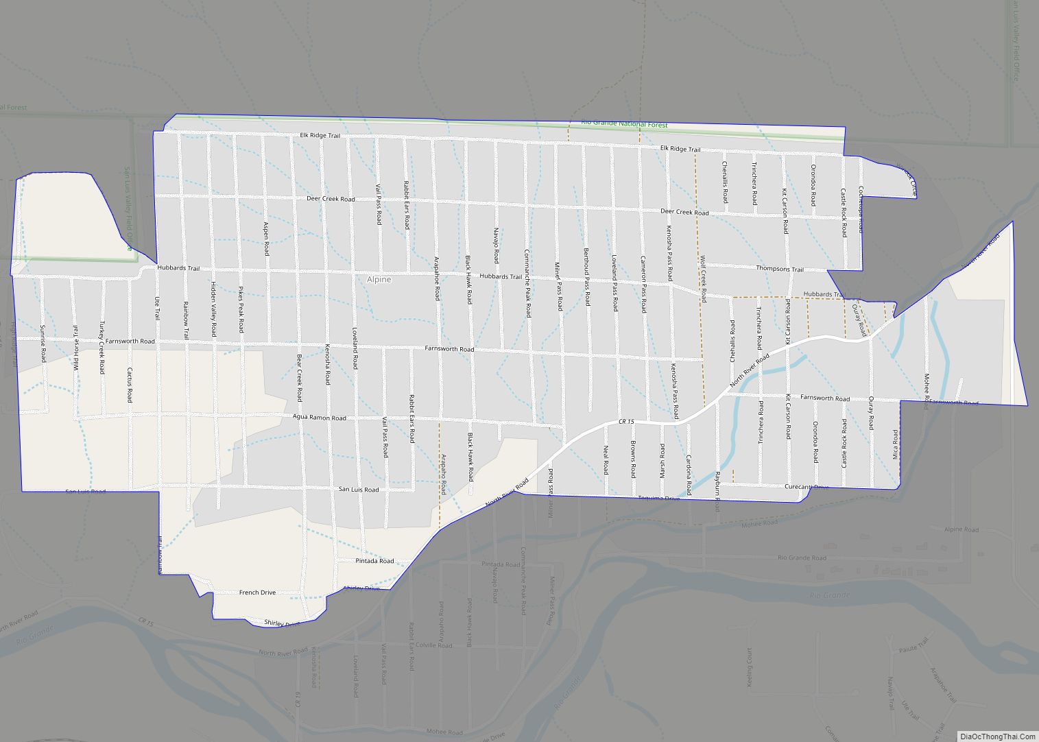
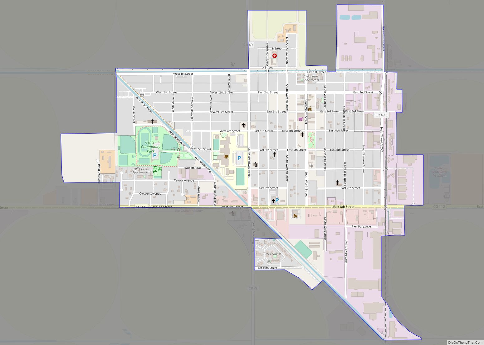
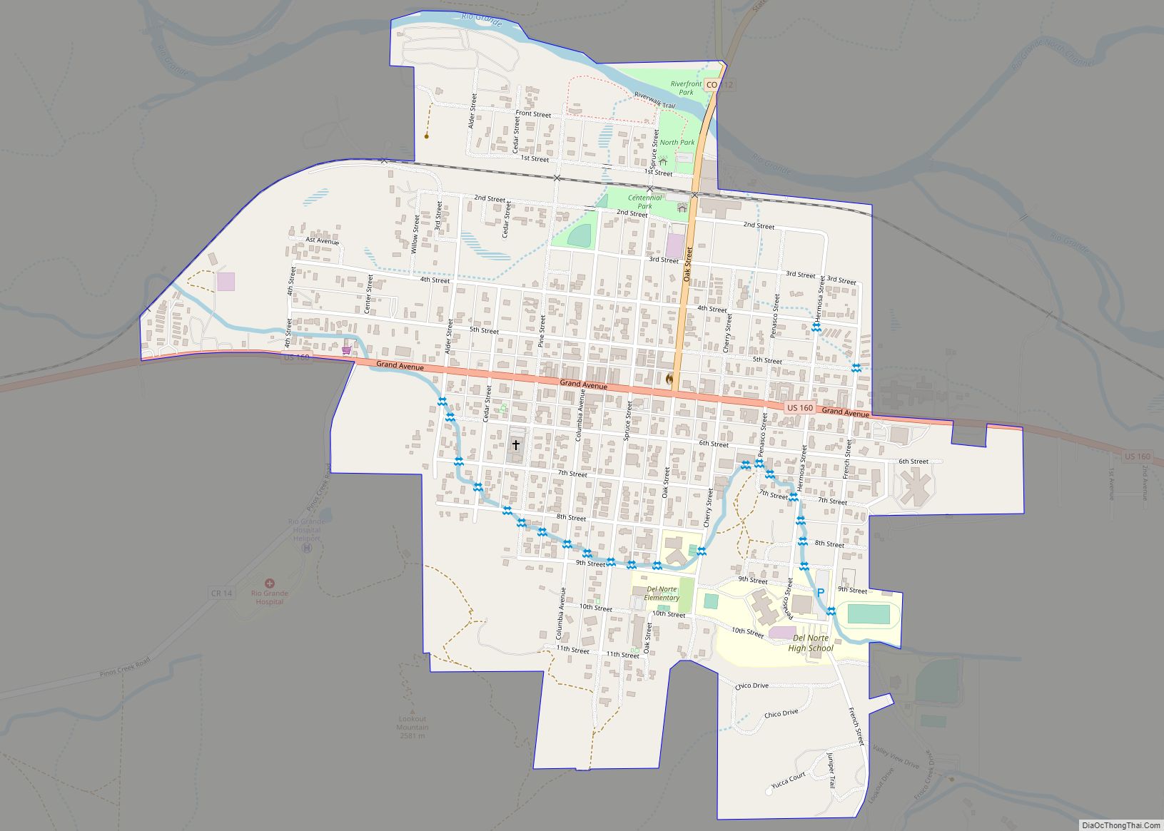
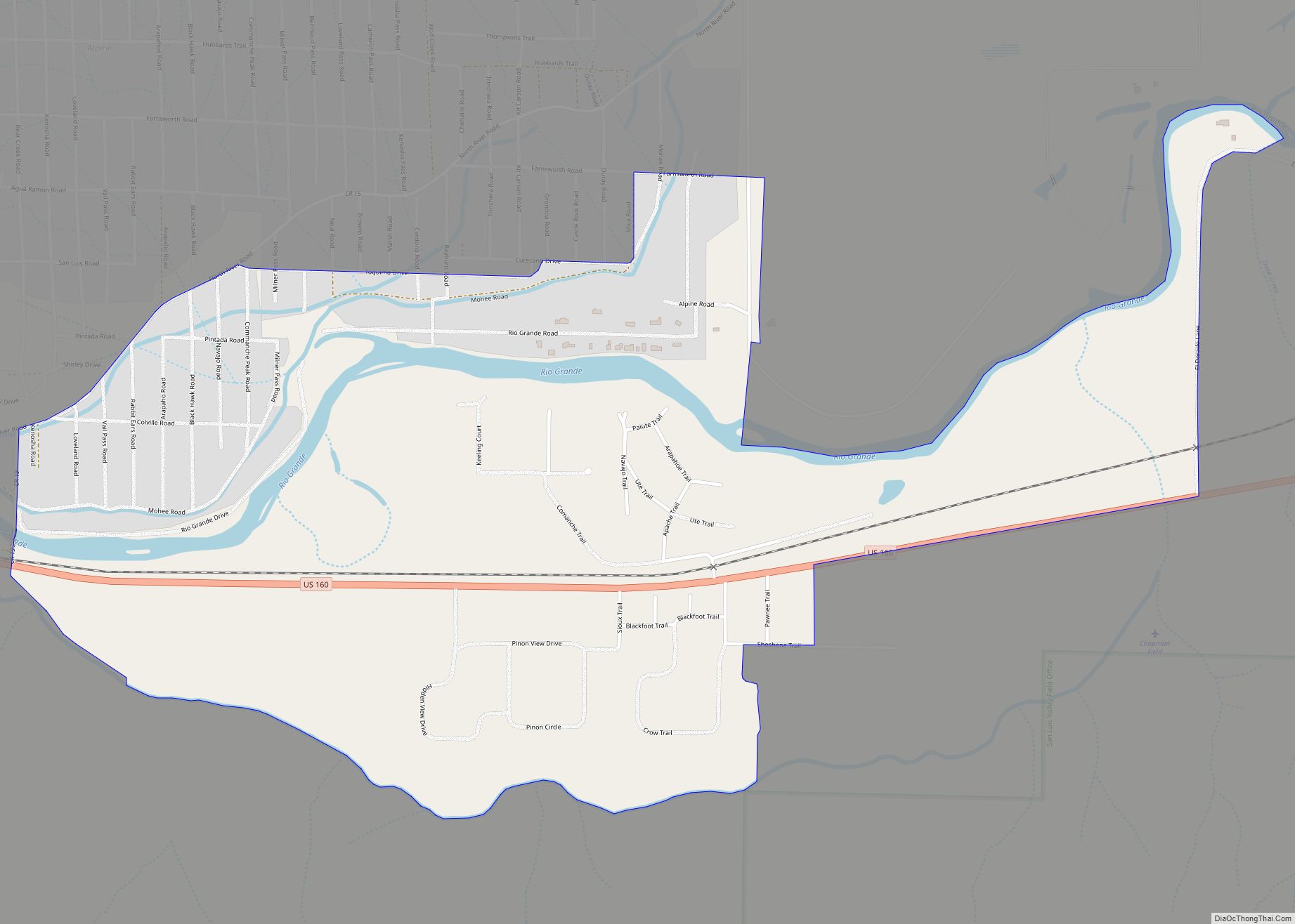
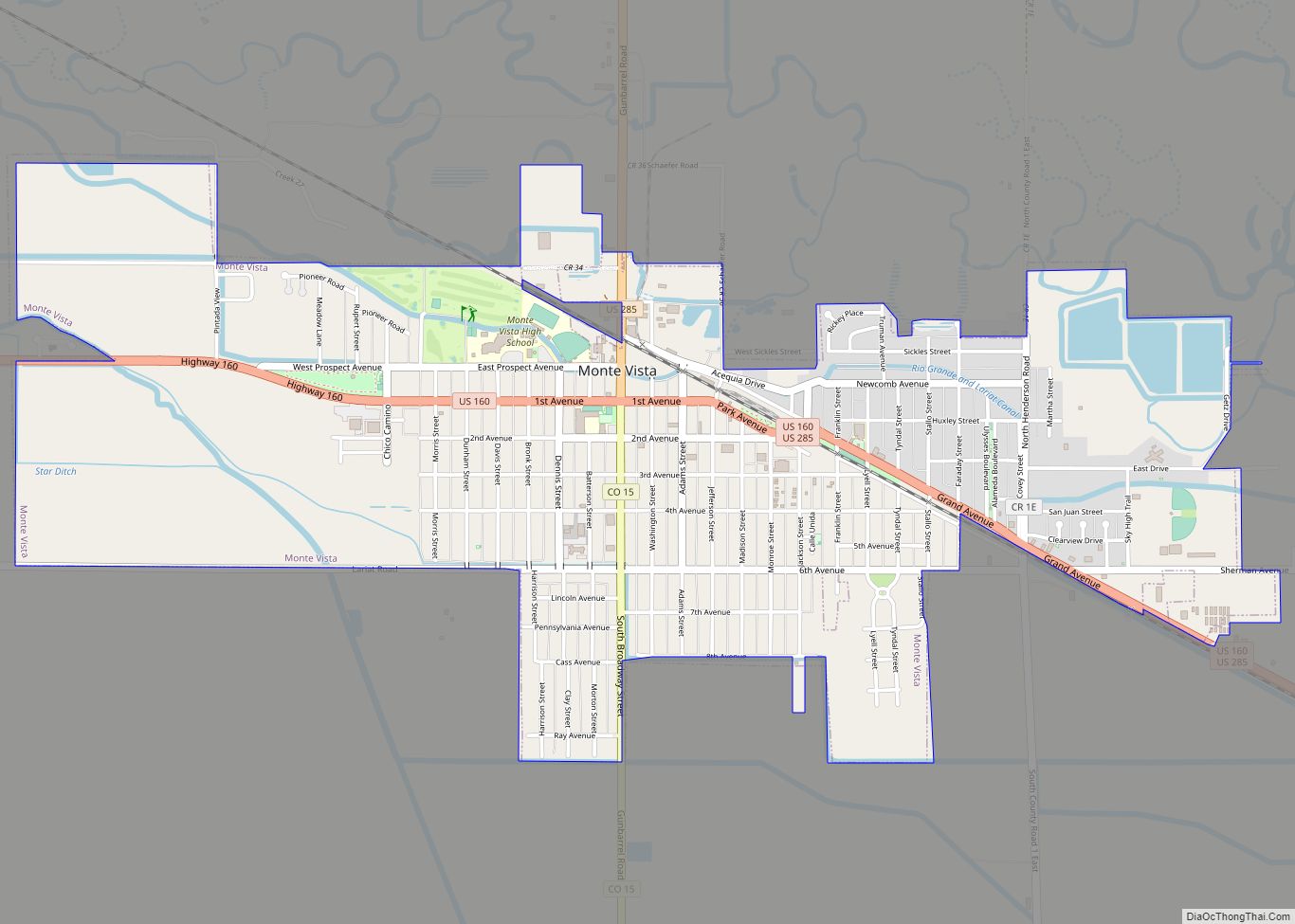
Online Interactive Map
Click on ![]() to view map in "full screen" mode.
to view map in "full screen" mode.
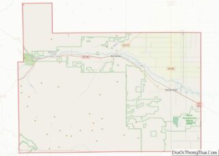
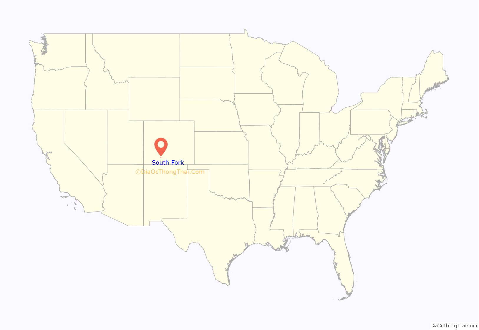
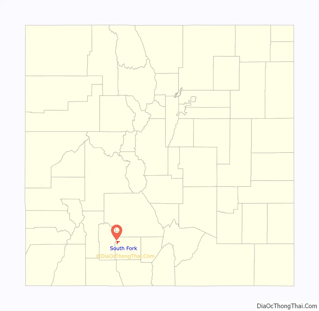
South Fork location map. Where is South Fork town?
History
South Fork was once the site of timber milling operations.
South Fork was founded in 1882, by which date its location was already marked by the presence of a coaching post, dating from the construction of the railroad connection of the Rio Grande Western Railroad line to Creede, which had been built to support the Creede silver mine. It was only in 1992 that South Fork achieved independent statutory town status, making it the youngest statutory town in the state. Originally the principal economic activities involved forestry and mining, but in recent decades these have been overtaken in the employment statistics by tourism.
South Fork made Colorado headlines during the Summer of 2020 when its town board announced that solicitations for donations was unlawful within town limits. This was in response to a local farmer’s market in which one of its vendors was asking people for donations to the Black Lives Matter movement and the NAACP.
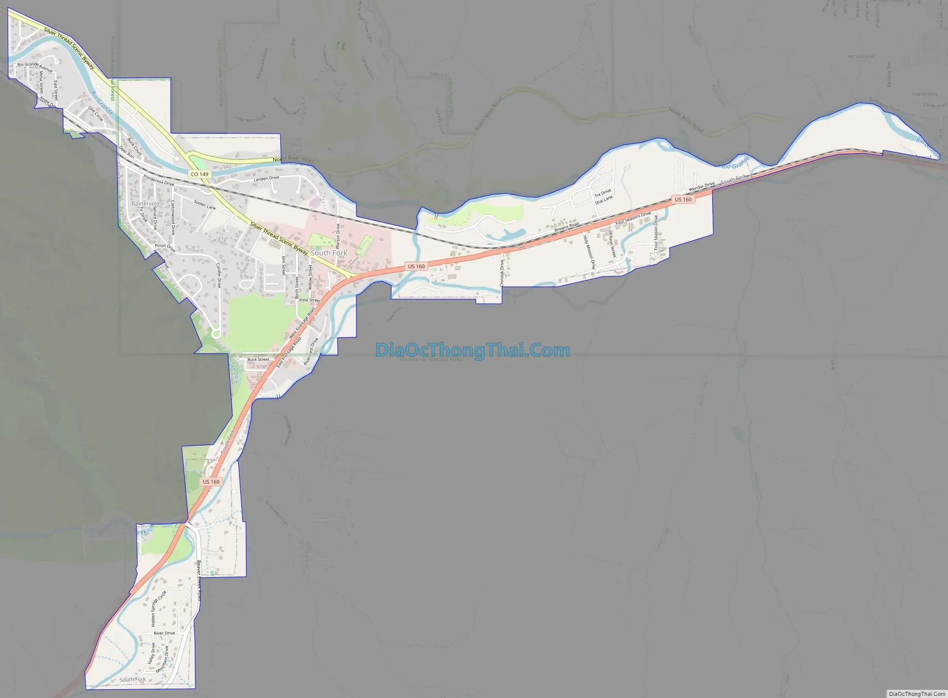
South Fork Road Map
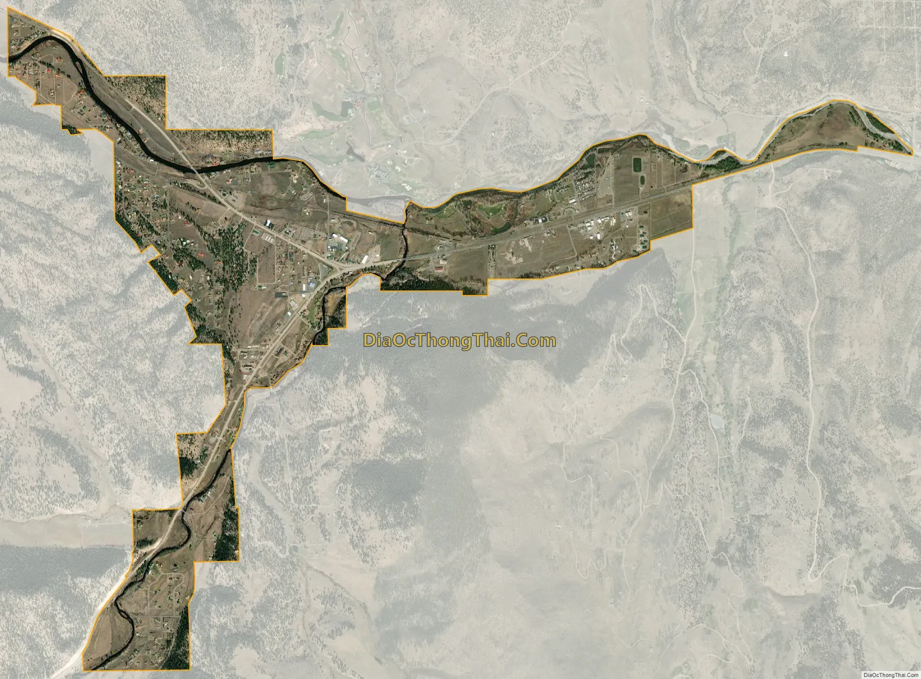
South Fork city Satellite Map
Geography
South Fork is located at 37°40′09″N 106°38′34″W / 37.669065°N 106.642829°W / 37.669065; -106.642829.
According to the United States Census Bureau, the town has a total area of 2.4 square miles (6.2 km), all land.
See also
Map of Colorado State and its subdivision:- Adams
- Alamosa
- Arapahoe
- Archuleta
- Baca
- Bent
- Boulder
- Broomfield
- Chaffee
- Cheyenne
- Clear Creek
- Conejos
- Costilla
- Crowley
- Custer
- Delta
- Denver
- Dolores
- Douglas
- Eagle
- El Paso
- Elbert
- Fremont
- Garfield
- Gilpin
- Grand
- Gunnison
- Hinsdale
- Huerfano
- Jackson
- Jefferson
- Kiowa
- Kit Carson
- La Plata
- Lake
- Larimer
- Las Animas
- Lincoln
- Logan
- Mesa
- Mineral
- Moffat
- Montezuma
- Montrose
- Morgan
- Otero
- Ouray
- Park
- Phillips
- Pitkin
- Prowers
- Pueblo
- Rio Blanco
- Rio Grande
- Routt
- Saguache
- San Juan
- San Miguel
- Sedgwick
- Summit
- Teller
- Washington
- Weld
- Yuma
- Alabama
- Alaska
- Arizona
- Arkansas
- California
- Colorado
- Connecticut
- Delaware
- District of Columbia
- Florida
- Georgia
- Hawaii
- Idaho
- Illinois
- Indiana
- Iowa
- Kansas
- Kentucky
- Louisiana
- Maine
- Maryland
- Massachusetts
- Michigan
- Minnesota
- Mississippi
- Missouri
- Montana
- Nebraska
- Nevada
- New Hampshire
- New Jersey
- New Mexico
- New York
- North Carolina
- North Dakota
- Ohio
- Oklahoma
- Oregon
- Pennsylvania
- Rhode Island
- South Carolina
- South Dakota
- Tennessee
- Texas
- Utah
- Vermont
- Virginia
- Washington
- West Virginia
- Wisconsin
- Wyoming