Starkville is a Statutory Town in Las Animas County, Colorado, United States. The population was 62 at the 2020 census.
| Name: | Starkville town |
|---|---|
| LSAD Code: | 43 |
| LSAD Description: | town (suffix) |
| State: | Colorado |
| County: | Las Animas County |
| Incorporated: | March 2, 1954 |
| Elevation: | 6,365 ft (1,944 m) |
| Total Area: | 0.07 sq mi (0.19 km²) |
| Land Area: | 0.07 sq mi (0.19 km²) |
| Water Area: | 0.00 sq mi (0.00 km²) |
| Total Population: | 62 |
| Population Density: | 739.73/sq mi (285.69/km²) |
| ZIP code: | 81082 |
| Area code: | 719 |
| FIPS code: | 0873715 |
| GNISfeature ID: | 0204813 |
Online Interactive Map
Click on ![]() to view map in "full screen" mode.
to view map in "full screen" mode.
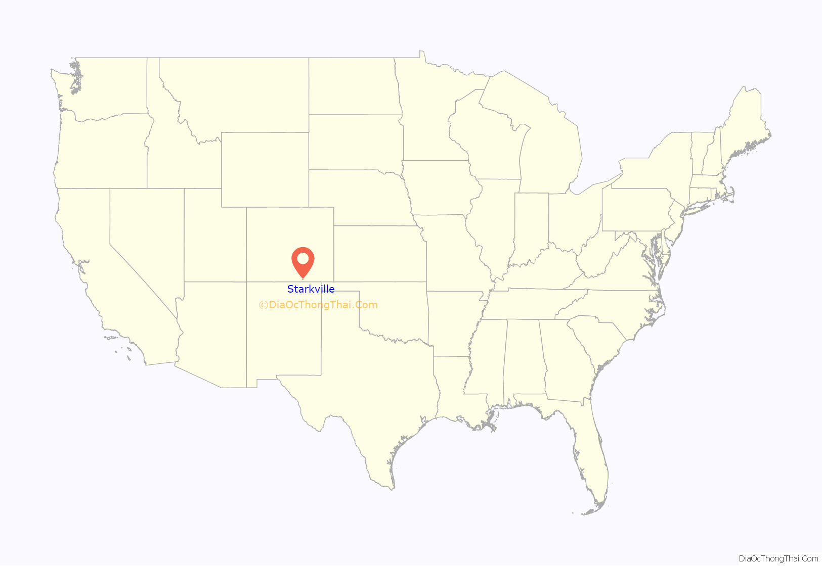
Starkville location map. Where is Starkville town?
History
The town was named for Albert G. Stark, a coal mine owner.
The community was formerly a company-owned coal-mining town owned and operated by the Colorado Fuel and Iron Company. On 8 October 1910, an explosion at the Starkville mine killed 56 miners. Exactly a month later, an explosion at the nearby Victor-American Fuel Company mine in Delagua killed 76. Miners from Starkville aided in the recovery efforts.
Starkville Road Map
Starkville city Satellite Map
Geography
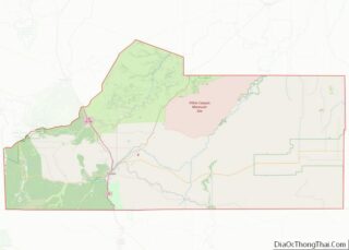
According to the United States Census Bureau, the town has a total area of 0.1 square miles (0.26 km), all of it land. Starkville is 4 mi (6.4 km) south of Trinidad and 8 mi (13 km) from the border with New Mexico at Raton Pass. in the 19th Century the Santa Fe Trail passed through the community. Starkville is adjacent to Interstate 25 and the Atchison, Topeka and Santa Fe Railroad.
See also
Map of Colorado State and its subdivision:- Adams
- Alamosa
- Arapahoe
- Archuleta
- Baca
- Bent
- Boulder
- Broomfield
- Chaffee
- Cheyenne
- Clear Creek
- Conejos
- Costilla
- Crowley
- Custer
- Delta
- Denver
- Dolores
- Douglas
- Eagle
- El Paso
- Elbert
- Fremont
- Garfield
- Gilpin
- Grand
- Gunnison
- Hinsdale
- Huerfano
- Jackson
- Jefferson
- Kiowa
- Kit Carson
- La Plata
- Lake
- Larimer
- Las Animas
- Lincoln
- Logan
- Mesa
- Mineral
- Moffat
- Montezuma
- Montrose
- Morgan
- Otero
- Ouray
- Park
- Phillips
- Pitkin
- Prowers
- Pueblo
- Rio Blanco
- Rio Grande
- Routt
- Saguache
- San Juan
- San Miguel
- Sedgwick
- Summit
- Teller
- Washington
- Weld
- Yuma
- Alabama
- Alaska
- Arizona
- Arkansas
- California
- Colorado
- Connecticut
- Delaware
- District of Columbia
- Florida
- Georgia
- Hawaii
- Idaho
- Illinois
- Indiana
- Iowa
- Kansas
- Kentucky
- Louisiana
- Maine
- Maryland
- Massachusetts
- Michigan
- Minnesota
- Mississippi
- Missouri
- Montana
- Nebraska
- Nevada
- New Hampshire
- New Jersey
- New Mexico
- New York
- North Carolina
- North Dakota
- Ohio
- Oklahoma
- Oregon
- Pennsylvania
- Rhode Island
- South Carolina
- South Dakota
- Tennessee
- Texas
- Utah
- Vermont
- Virginia
- Washington
- West Virginia
- Wisconsin
- Wyoming
