Stratmoor (commonly known as Stratmoor Hills) is an unincorporated community and a census-designated place (CDP) located in and governed by El Paso County, Colorado, United States. The CDP is a part of the Colorado Springs, CO Metropolitan Statistical Area. The population of the Stratmoor CDP was 6,518 at the United States Census 2020. The Colorado Springs post office (Zip Codes 80906, 80910, and 80911) serves the area.
| Name: | Stratmoor CDP |
|---|---|
| LSAD Code: | 57 |
| LSAD Description: | CDP (suffix) |
| State: | Colorado |
| County: | El Paso County |
| Elevation: | 5,787 ft (1,764 m) |
| Total Area: | 2.654 sq mi (6.874 km²) |
| Land Area: | 2.633 sq mi (6.819 km²) |
| Water Area: | 0.021 sq mi (0.055 km²) |
| Total Population: | 6,518 |
| Population Density: | 2,500/sq mi (950/km²) |
| ZIP code: | Colorado Springs 80906, 80910, and 80911 |
| Area code: | 719 |
| FIPS code: | 0874430 |
Online Interactive Map
Click on ![]() to view map in "full screen" mode.
to view map in "full screen" mode.
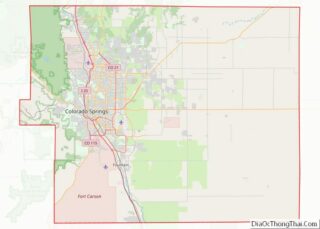
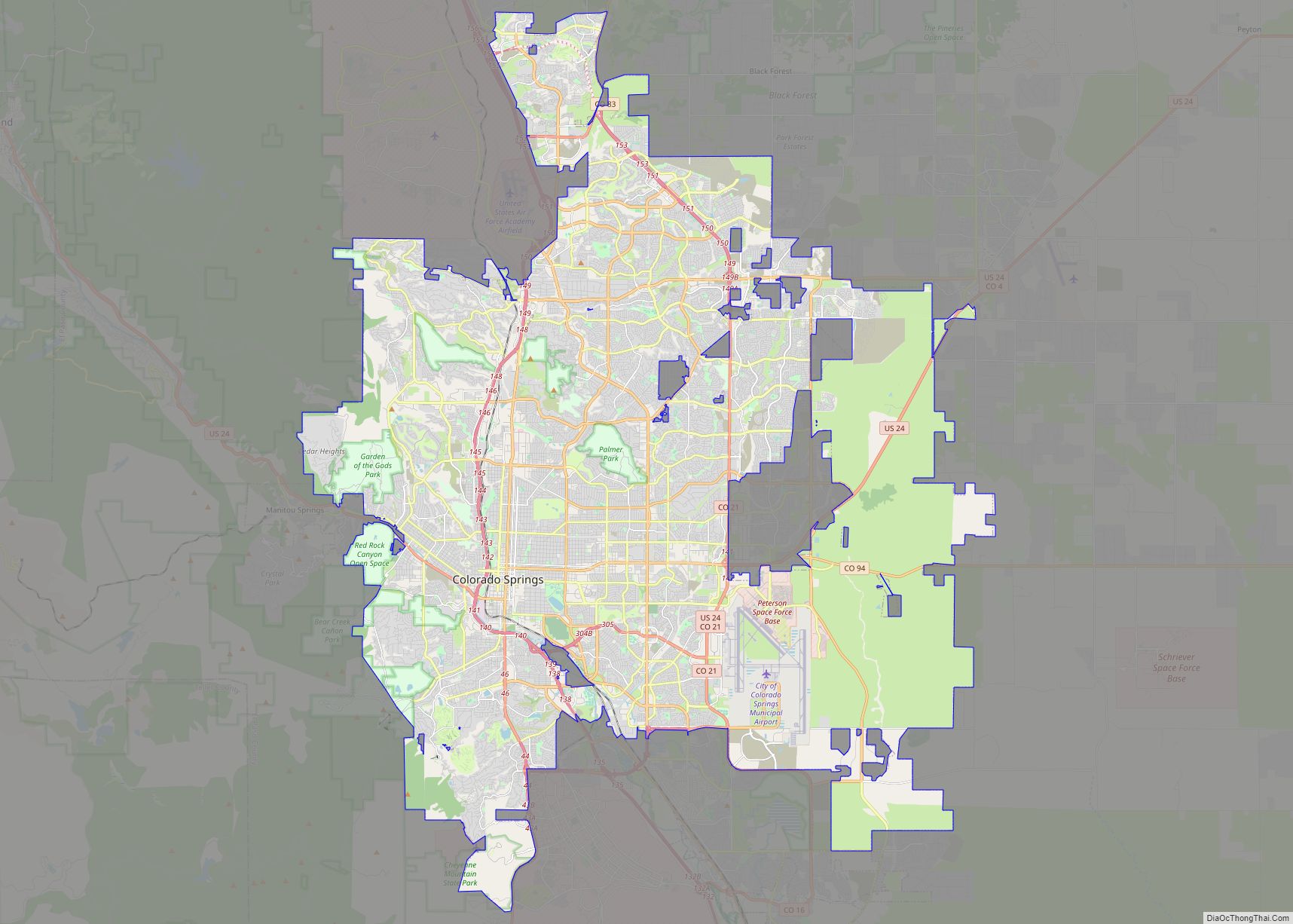
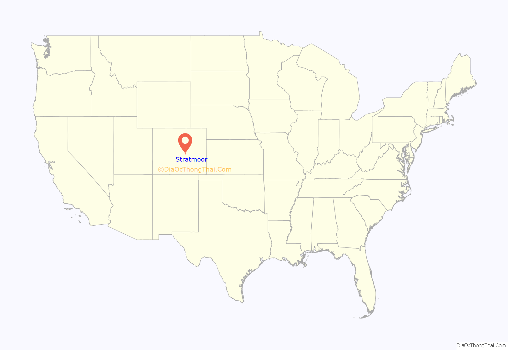
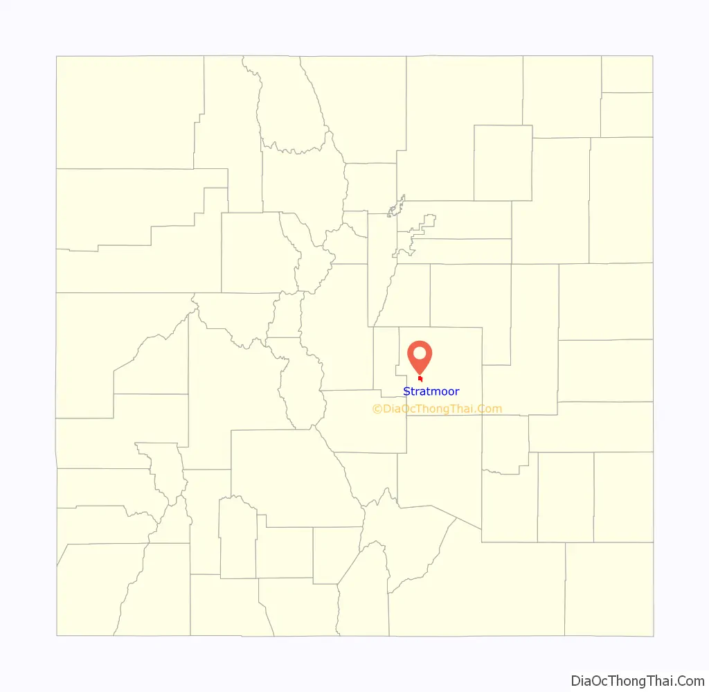
Stratmoor location map. Where is Stratmoor CDP?
History
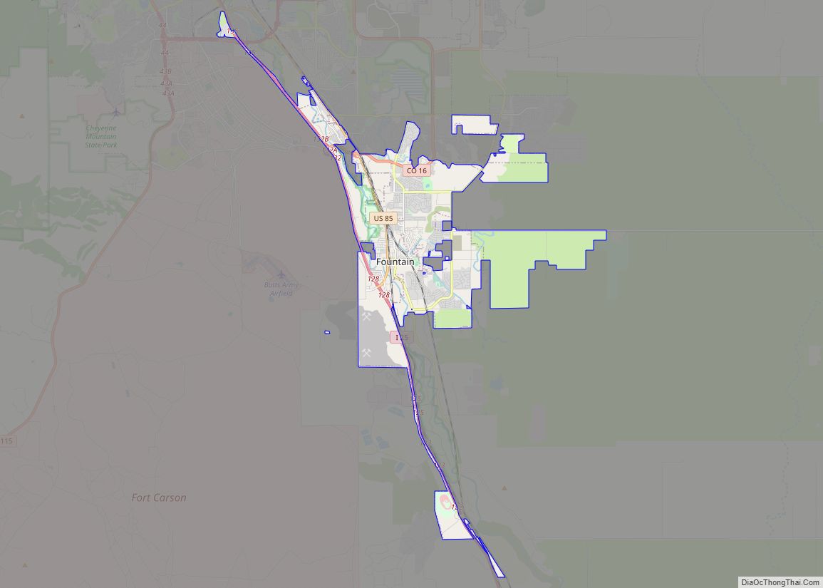
Partial annexation by the City of Fountain
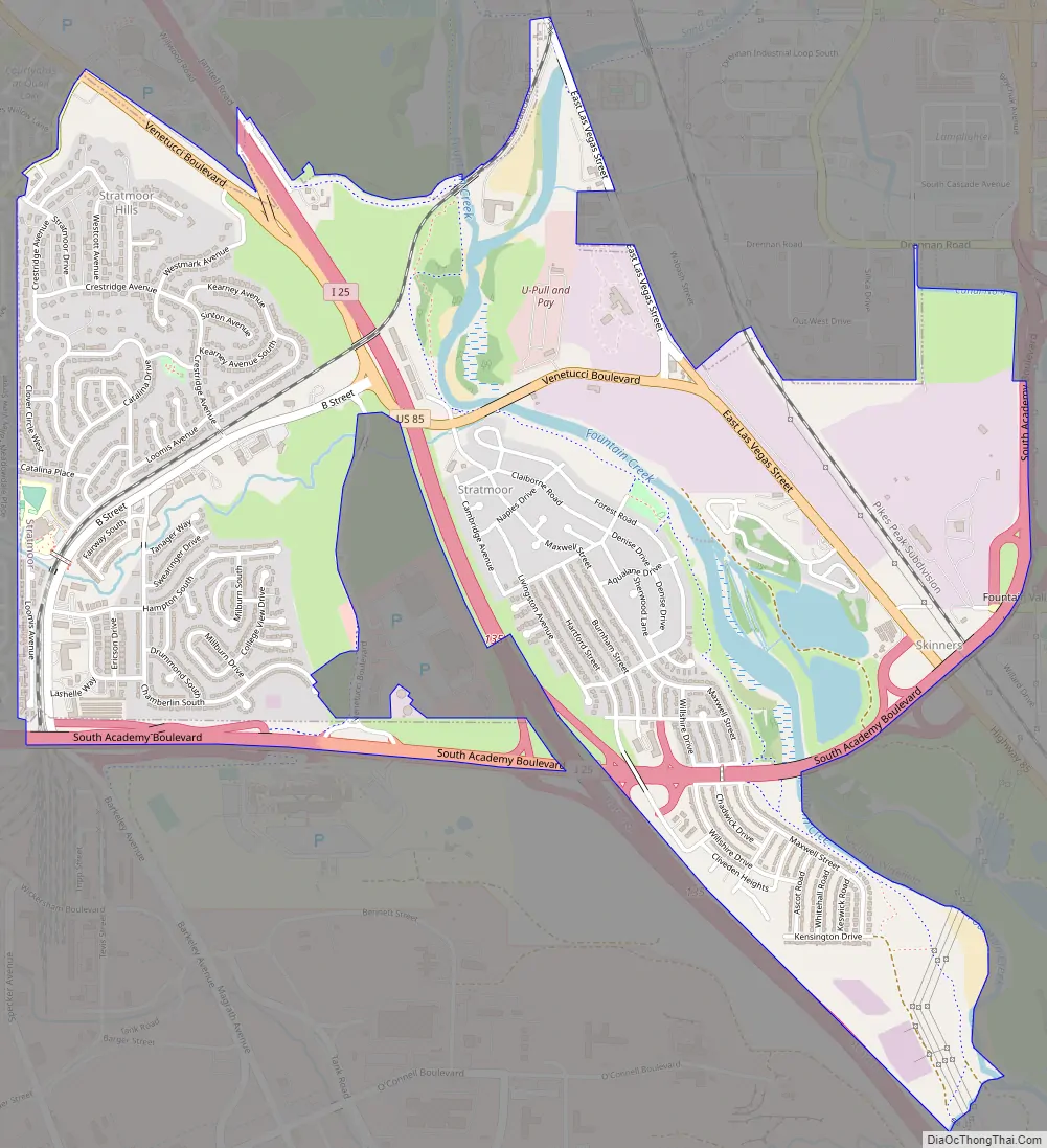
A portion of the Stratmoor CDP was annexed by the City of Fountain in 2014. Specifically, the area annexed was a 60-acre parcel just to the west of Interstate 25 at Exit 135 and north of South Academy Boulevard. The annexed land now includes a Walmart store, a Sam’s Club, and a strip mall.
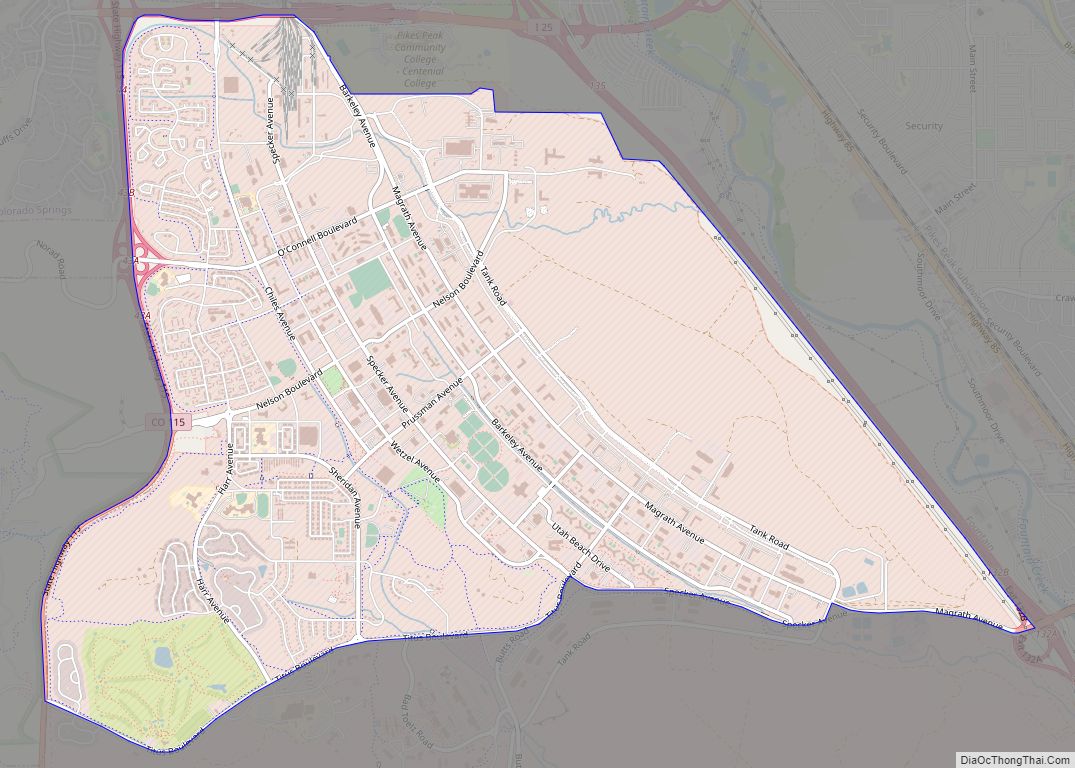
Stratmoor Road Map
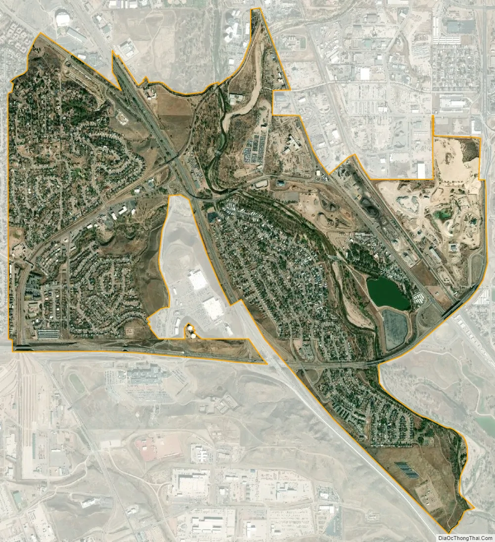
Stratmoor city Satellite Map
Geography
The Stratmoor CDP has an area of 1,699 acres (6.874 km), including 14 acres (0.055 km) of water.
See also
Map of Colorado State and its subdivision:- Adams
- Alamosa
- Arapahoe
- Archuleta
- Baca
- Bent
- Boulder
- Broomfield
- Chaffee
- Cheyenne
- Clear Creek
- Conejos
- Costilla
- Crowley
- Custer
- Delta
- Denver
- Dolores
- Douglas
- Eagle
- El Paso
- Elbert
- Fremont
- Garfield
- Gilpin
- Grand
- Gunnison
- Hinsdale
- Huerfano
- Jackson
- Jefferson
- Kiowa
- Kit Carson
- La Plata
- Lake
- Larimer
- Las Animas
- Lincoln
- Logan
- Mesa
- Mineral
- Moffat
- Montezuma
- Montrose
- Morgan
- Otero
- Ouray
- Park
- Phillips
- Pitkin
- Prowers
- Pueblo
- Rio Blanco
- Rio Grande
- Routt
- Saguache
- San Juan
- San Miguel
- Sedgwick
- Summit
- Teller
- Washington
- Weld
- Yuma
- Alabama
- Alaska
- Arizona
- Arkansas
- California
- Colorado
- Connecticut
- Delaware
- District of Columbia
- Florida
- Georgia
- Hawaii
- Idaho
- Illinois
- Indiana
- Iowa
- Kansas
- Kentucky
- Louisiana
- Maine
- Maryland
- Massachusetts
- Michigan
- Minnesota
- Mississippi
- Missouri
- Montana
- Nebraska
- Nevada
- New Hampshire
- New Jersey
- New Mexico
- New York
- North Carolina
- North Dakota
- Ohio
- Oklahoma
- Oregon
- Pennsylvania
- Rhode Island
- South Carolina
- South Dakota
- Tennessee
- Texas
- Utah
- Vermont
- Virginia
- Washington
- West Virginia
- Wisconsin
- Wyoming