Sugarloaf (also spelled Sugar Loaf) is an unincorporated community and a census-designated place (CDP) located in and governed by Boulder County, Colorado, United States. The CDP is a part of the Boulder, CO Metropolitan Statistical Area. The population of the Sugarloaf CDP was 274 at the United States Census 2020. The Boulder post office (Zip Code 80302) serves the area.
| Name: | Sugarloaf CDP |
|---|---|
| LSAD Code: | 57 |
| LSAD Description: | CDP (suffix) |
| State: | Colorado |
| County: | Boulder County |
| Total Area: | 2.178 sq mi (5.640 km²) |
| Land Area: | 2.178 sq mi (5.640 km²) |
| Water Area: | 0.000 sq mi (0.000 km²) |
| Total Population: | 274 |
| Population Density: | 130/sq mi (49/km²) |
| ZIP code: | Boulder 80302 |
| FIPS code: | 0874980 |
Online Interactive Map
Click on ![]() to view map in "full screen" mode.
to view map in "full screen" mode.
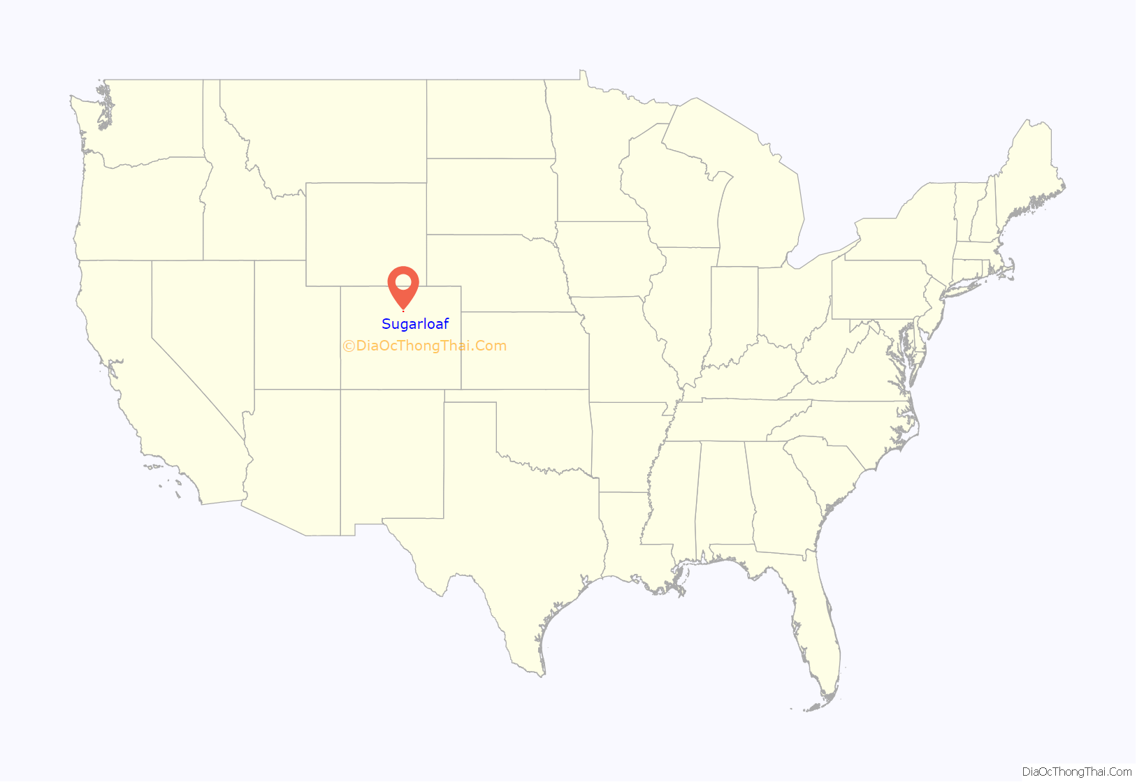
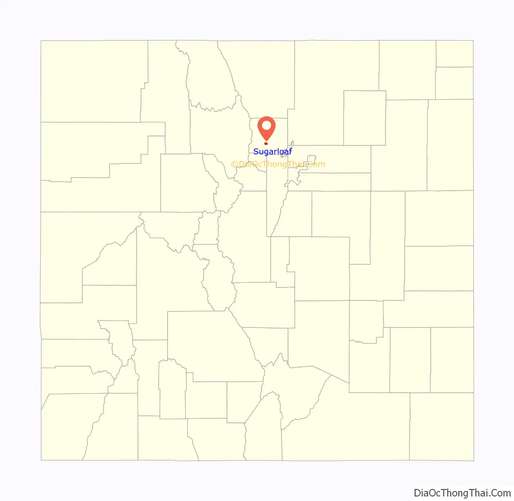
Sugarloaf location map. Where is Sugarloaf CDP?
History
Sugarloaf, sometimes spelled Sugar Loaf, Boulder County, was referred to in Colorado historical records dating back to 1868. It seems the early name came from a mining claim referred to as “Sugar Loaf, near Yellow Pine.” Sugar Loaf seems also to have been a term for a mining district, of multiple mining claims.
In 1989, a destructive wildfire swept up and across much of Sugarloaf burning 2,100 acres (850 ha), destroying 44 houses and other structures, and causing approximately US$10 million in damages. The Black Tiger Fire“was the worst wildland fire loss in Colorado history” at the time. It was a human-caused fire that started 9 July 1989 in a scenic mountain area at the base of Black Tiger Gulch and swept up to the summit of Sugarloaf Mountain through residential areas that were “nestled among the trees. Within the first five to six hours after ignition, 44 homes and other structures were destroyed and many others were damaged.” Some fire fighters of the Sugarloaf Volunteer Fire Department had their own homes destroyed during the fire. Although there were a number of minor injuries, there were no fatalities from the fire.
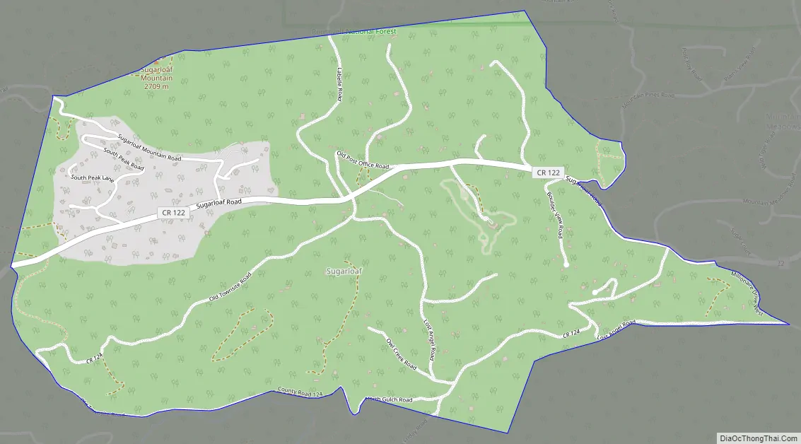
Sugarloaf Road Map
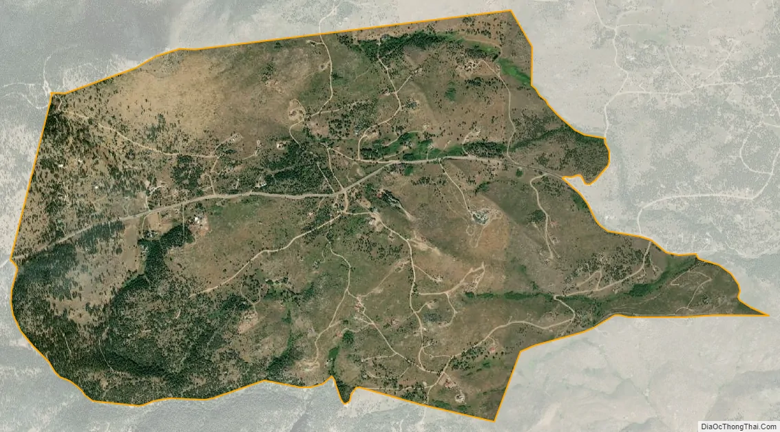
Sugarloaf city Satellite Map
Geography
Sugarloaf is located in south-central Boulder County, approximately halfway between Boulder and Nederland. It is bordered by the Mountain Meadows CDP to the northeast, and North Boulder Creek forms part of the southern edge of the community. Sugarloaf Road is the main route through the CDP.
The Sugarloaf CDP has an area of 1,394 acres (5.640 km), all land.
See also
Map of Colorado State and its subdivision:- Adams
- Alamosa
- Arapahoe
- Archuleta
- Baca
- Bent
- Boulder
- Broomfield
- Chaffee
- Cheyenne
- Clear Creek
- Conejos
- Costilla
- Crowley
- Custer
- Delta
- Denver
- Dolores
- Douglas
- Eagle
- El Paso
- Elbert
- Fremont
- Garfield
- Gilpin
- Grand
- Gunnison
- Hinsdale
- Huerfano
- Jackson
- Jefferson
- Kiowa
- Kit Carson
- La Plata
- Lake
- Larimer
- Las Animas
- Lincoln
- Logan
- Mesa
- Mineral
- Moffat
- Montezuma
- Montrose
- Morgan
- Otero
- Ouray
- Park
- Phillips
- Pitkin
- Prowers
- Pueblo
- Rio Blanco
- Rio Grande
- Routt
- Saguache
- San Juan
- San Miguel
- Sedgwick
- Summit
- Teller
- Washington
- Weld
- Yuma
- Alabama
- Alaska
- Arizona
- Arkansas
- California
- Colorado
- Connecticut
- Delaware
- District of Columbia
- Florida
- Georgia
- Hawaii
- Idaho
- Illinois
- Indiana
- Iowa
- Kansas
- Kentucky
- Louisiana
- Maine
- Maryland
- Massachusetts
- Michigan
- Minnesota
- Mississippi
- Missouri
- Montana
- Nebraska
- Nevada
- New Hampshire
- New Jersey
- New Mexico
- New York
- North Carolina
- North Dakota
- Ohio
- Oklahoma
- Oregon
- Pennsylvania
- Rhode Island
- South Carolina
- South Dakota
- Tennessee
- Texas
- Utah
- Vermont
- Virginia
- Washington
- West Virginia
- Wisconsin
- Wyoming


