Upper Bear Creek is an unincorporated community and a census-designated place (CDP) located in and governed by Clear Creek County, Colorado, United States. The CDP is a part of the Denver–Aurora–Lakewood, CO Metropolitan Statistical Area. The population of the Upper Bear Creek CDP was 984 at the United States Census 2020. The Evergreen post office (Zip Code 80439) serves the area.
| Name: | Upper Bear Creek CDP |
|---|---|
| LSAD Code: | 57 |
| LSAD Description: | CDP (suffix) |
| State: | Colorado |
| County: | Clear Creek County |
| Elevation: | 7,529 ft (2,295 m) |
| Total Area: | 3.791 sq mi (9.819 km²) |
| Land Area: | 3.785 sq mi (9.803 km²) |
| Water Area: | 0.006 sq mi (0.016 km²) |
| Total Population: | 984 |
| Population Density: | 260/sq mi (100/km²) |
| ZIP code: | Evergreen 80439 |
| FIPS code: | 0879785 |
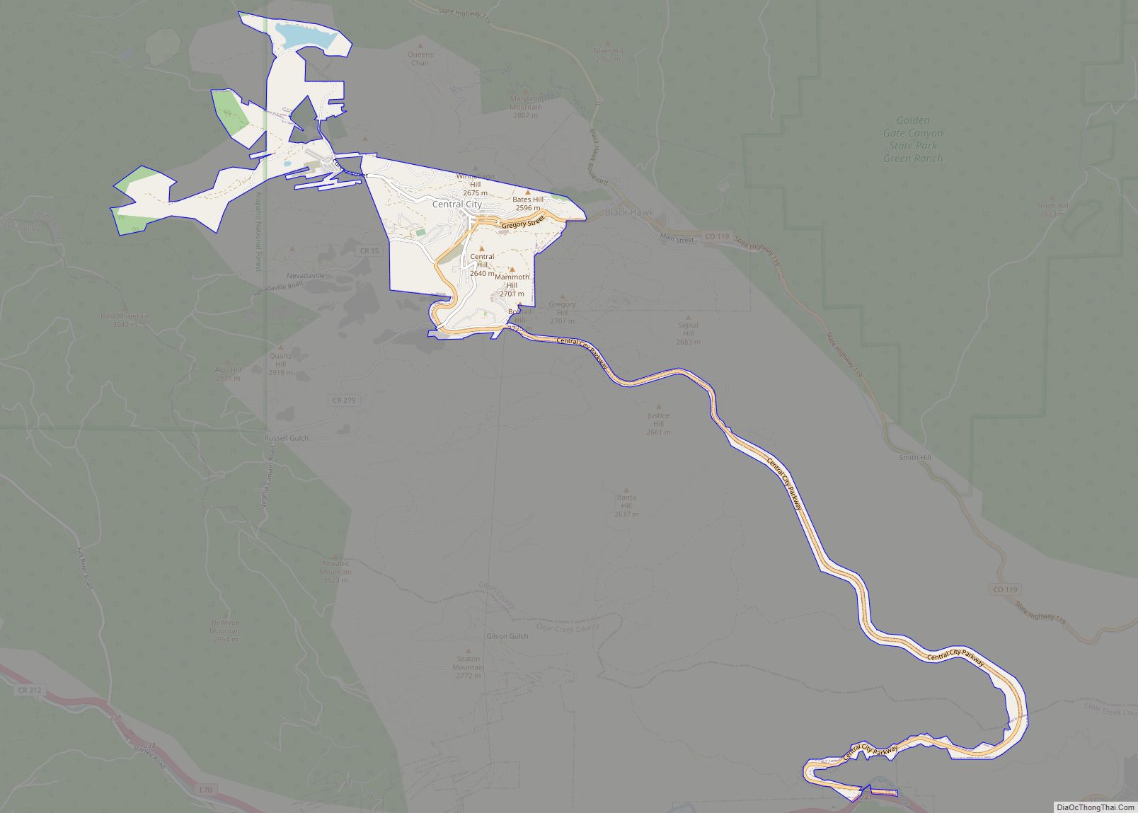
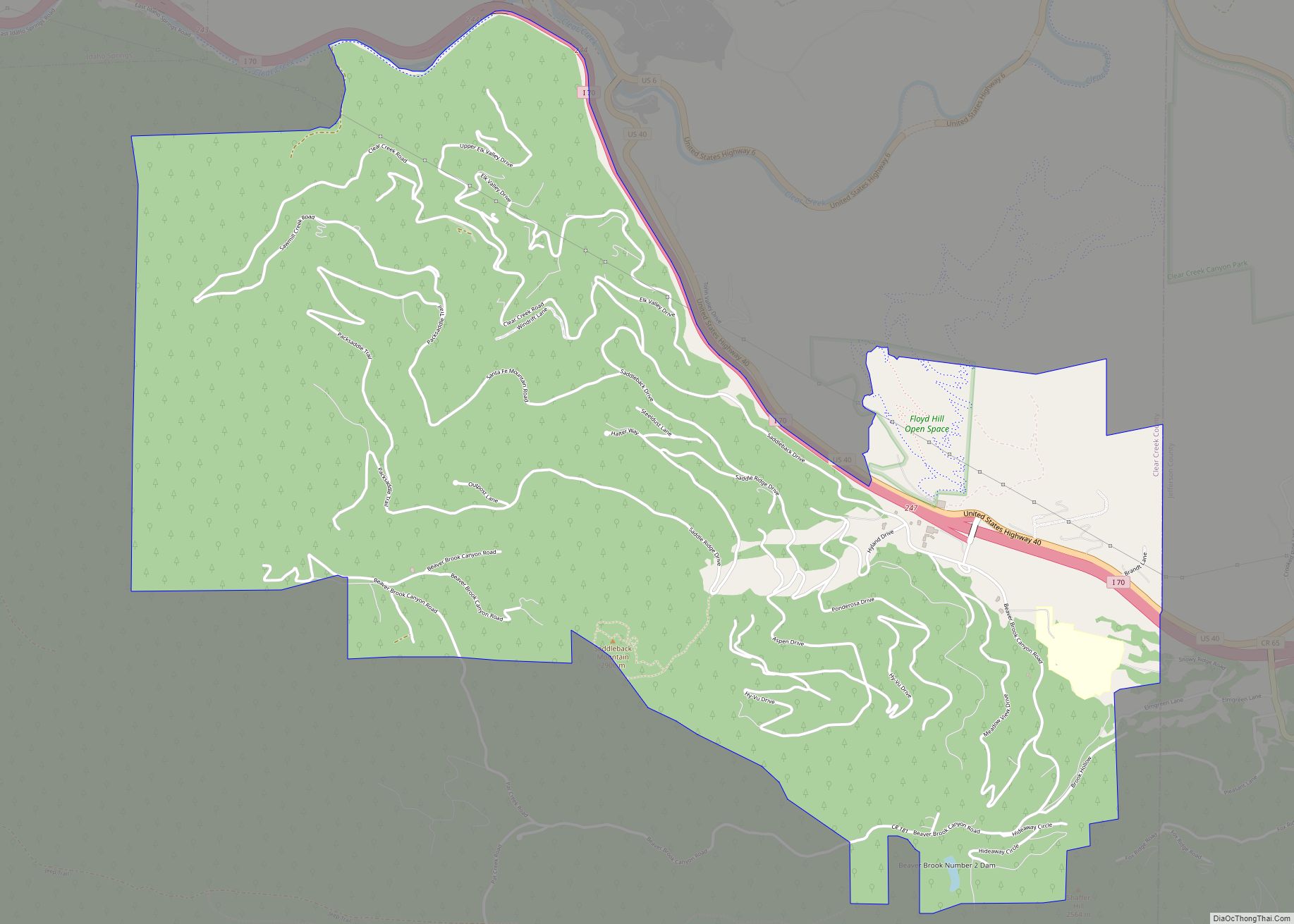
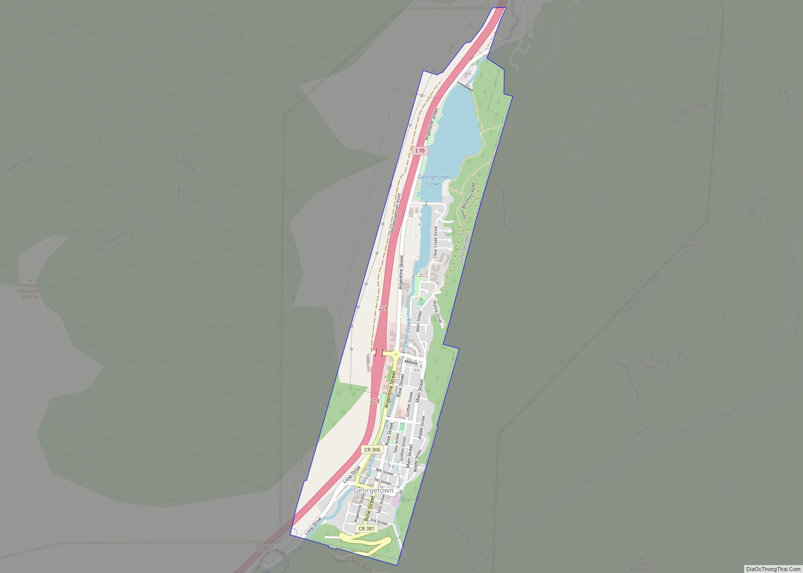
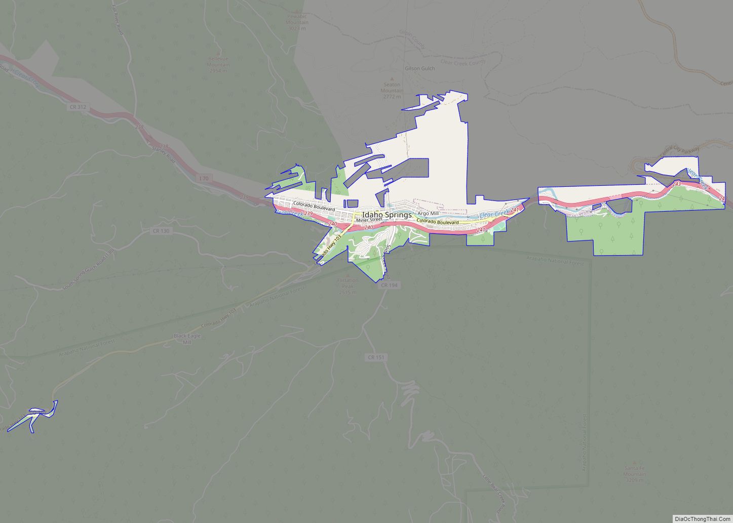
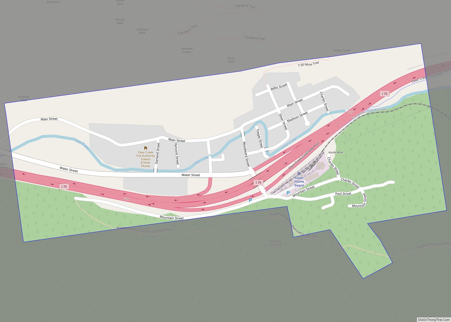
Online Interactive Map
Click on ![]() to view map in "full screen" mode.
to view map in "full screen" mode.
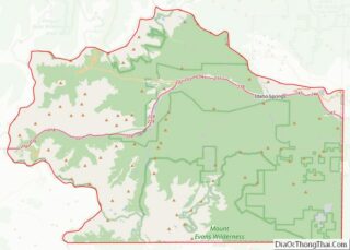
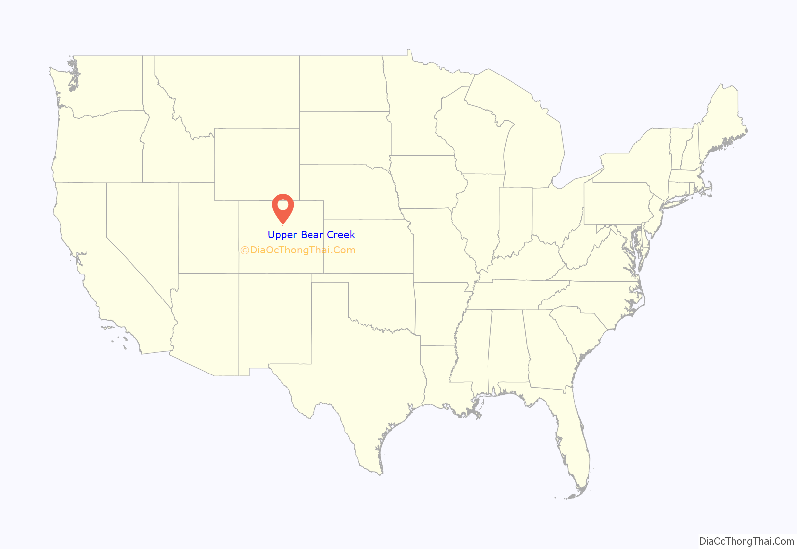
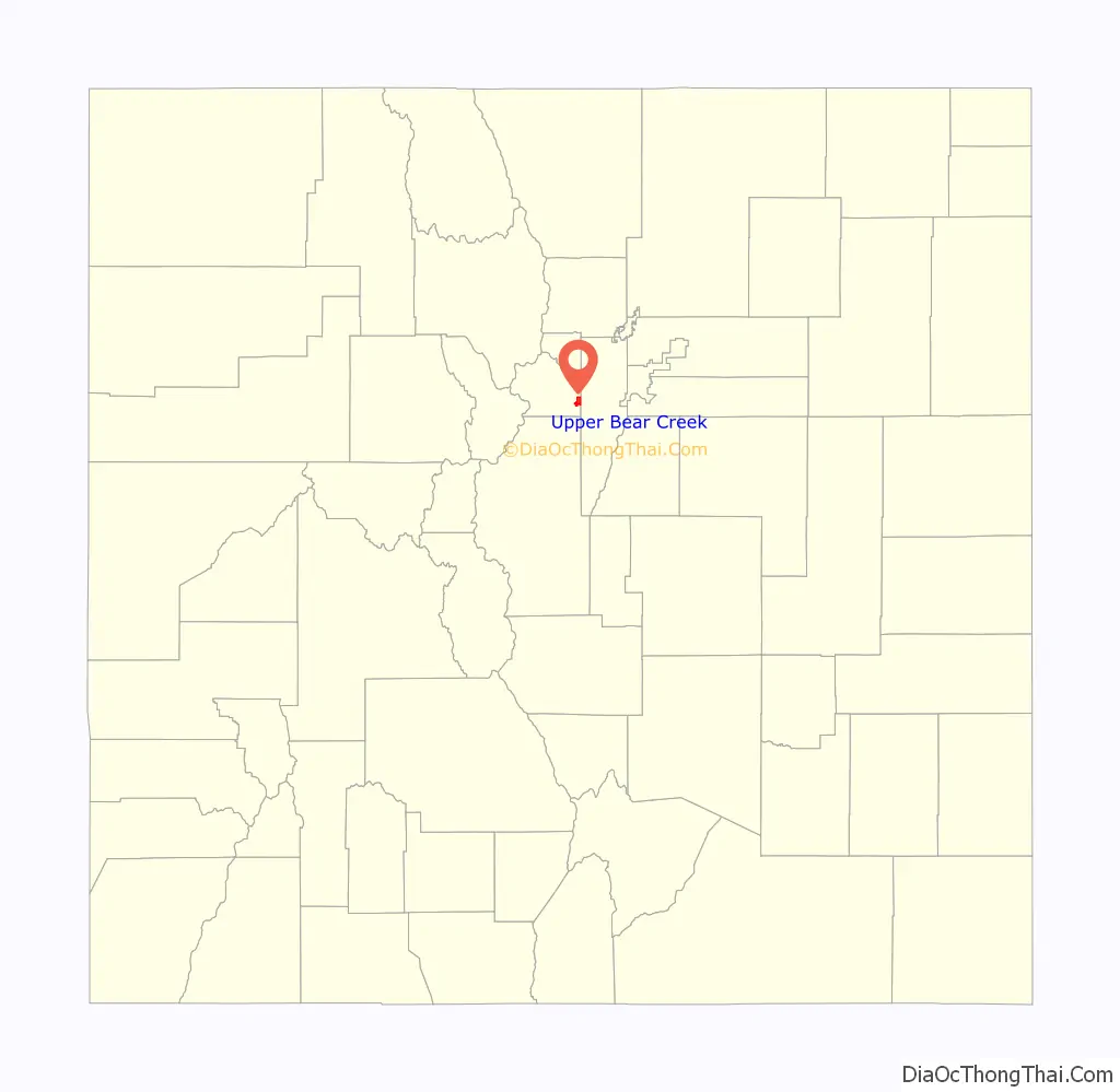
Upper Bear Creek location map. Where is Upper Bear Creek CDP?
History
The Upper Bear Creek area is rich in history – Troutdale in the Pines, a posh resort hotel, catered to Hollywood movie stars and America’s elite in the 1920s and served as a vacation spot for Denverites escaping the summer heat. Other summer resorts sprang up in the area as well, including the Greystone Guest Ranch and the Brookforest Inn. In more recent history, Willie Nelson, Lee Majors, Farrah Fawcett, and others have lived along Upper Bear Creek.
Additionally, the Mt. Evans Outdoor Lab School, a campus of the Jefferson County Public Schools, is located in the Upper Bear Creek area. Many Jeffco 6th graders will spend a week at Mt. Evans, or the other outdoor lab school, Windy Peak, where they stay in cabins or dorms and study various aspects of the outdoors, including forestry, astronomy, ecology, and pioneer history, among others.
Generally regarded as the most exclusive and desirable area within Evergreen, Upper Bear Creek features outstanding trout fishing (for homeowners and guests), peaceful serenity and meadows, and in many spots views of Mt. Evans.
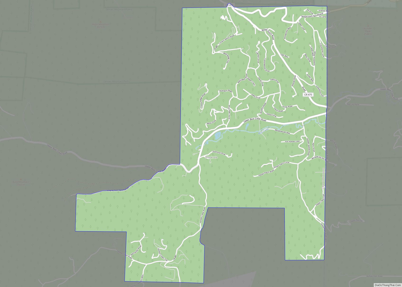
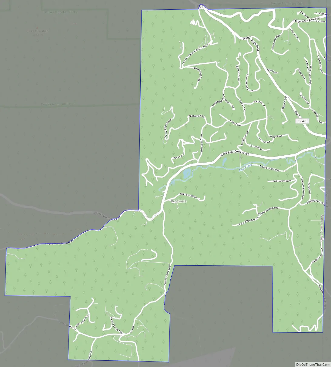
Upper Bear Creek Road Map
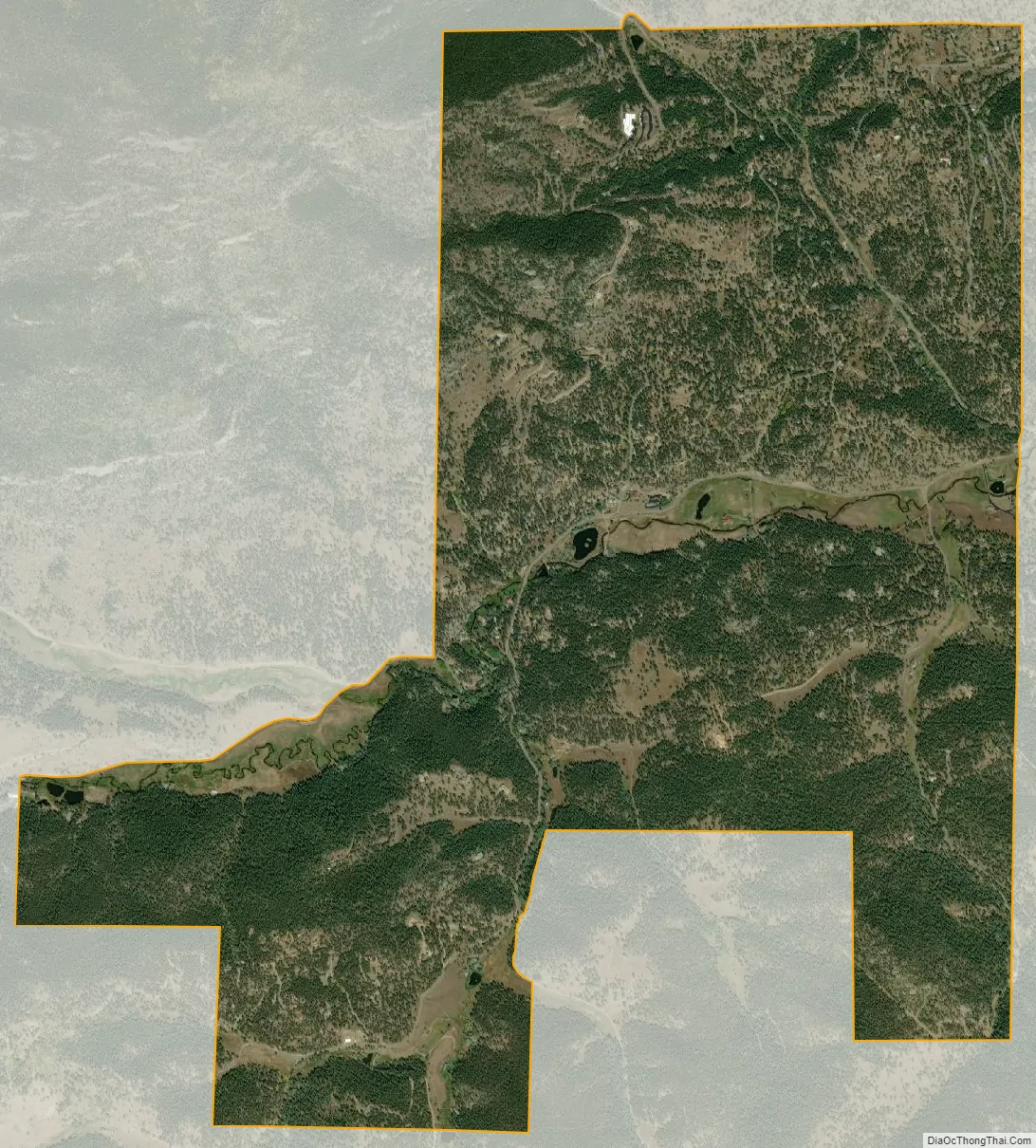
Upper Bear Creek city Satellite Map
Geography
The Upper Bear Creek CDP has an area of 2,426 acres (9.819 km), including 4.0 acres (0.016 km) of water.
See also
Map of Colorado State and its subdivision:- Adams
- Alamosa
- Arapahoe
- Archuleta
- Baca
- Bent
- Boulder
- Broomfield
- Chaffee
- Cheyenne
- Clear Creek
- Conejos
- Costilla
- Crowley
- Custer
- Delta
- Denver
- Dolores
- Douglas
- Eagle
- El Paso
- Elbert
- Fremont
- Garfield
- Gilpin
- Grand
- Gunnison
- Hinsdale
- Huerfano
- Jackson
- Jefferson
- Kiowa
- Kit Carson
- La Plata
- Lake
- Larimer
- Las Animas
- Lincoln
- Logan
- Mesa
- Mineral
- Moffat
- Montezuma
- Montrose
- Morgan
- Otero
- Ouray
- Park
- Phillips
- Pitkin
- Prowers
- Pueblo
- Rio Blanco
- Rio Grande
- Routt
- Saguache
- San Juan
- San Miguel
- Sedgwick
- Summit
- Teller
- Washington
- Weld
- Yuma
- Alabama
- Alaska
- Arizona
- Arkansas
- California
- Colorado
- Connecticut
- Delaware
- District of Columbia
- Florida
- Georgia
- Hawaii
- Idaho
- Illinois
- Indiana
- Iowa
- Kansas
- Kentucky
- Louisiana
- Maine
- Maryland
- Massachusetts
- Michigan
- Minnesota
- Mississippi
- Missouri
- Montana
- Nebraska
- Nevada
- New Hampshire
- New Jersey
- New Mexico
- New York
- North Carolina
- North Dakota
- Ohio
- Oklahoma
- Oregon
- Pennsylvania
- Rhode Island
- South Carolina
- South Dakota
- Tennessee
- Texas
- Utah
- Vermont
- Virginia
- Washington
- West Virginia
- Wisconsin
- Wyoming