Watkins (also called Box Elder) is an unincorporated town and a census-designated place (CDP) located in and governed by Arapahoe and Adams counties, Colorado, United States. The CDP is a part of the Denver–Aurora–Lakewood, CO Metropolitan Statistical Area. The town is surrounded by Aurora and its post office, which lies within the Aurora city limits, has the ZIP Code 80137. At the United States Census 2020, the population of the Watkins CDP was 682.
| Name: | Watkins CDP |
|---|---|
| LSAD Code: | 57 |
| LSAD Description: | CDP (suffix) |
| State: | Colorado |
| County: | Adams County |
| Total Area: | 24.753 sq mi (64.109 km²) |
| Land Area: | 24.753 sq mi (64.109 km²) |
| Water Area: | 0 sq mi (0.0002 km²) |
| Total Population: | 682 |
| Population Density: | 28/sq mi (11/km²) |
| ZIP code: | 80137 |
| FIPS code: | 0882900 |
Online Interactive Map
Click on ![]() to view map in "full screen" mode.
to view map in "full screen" mode.
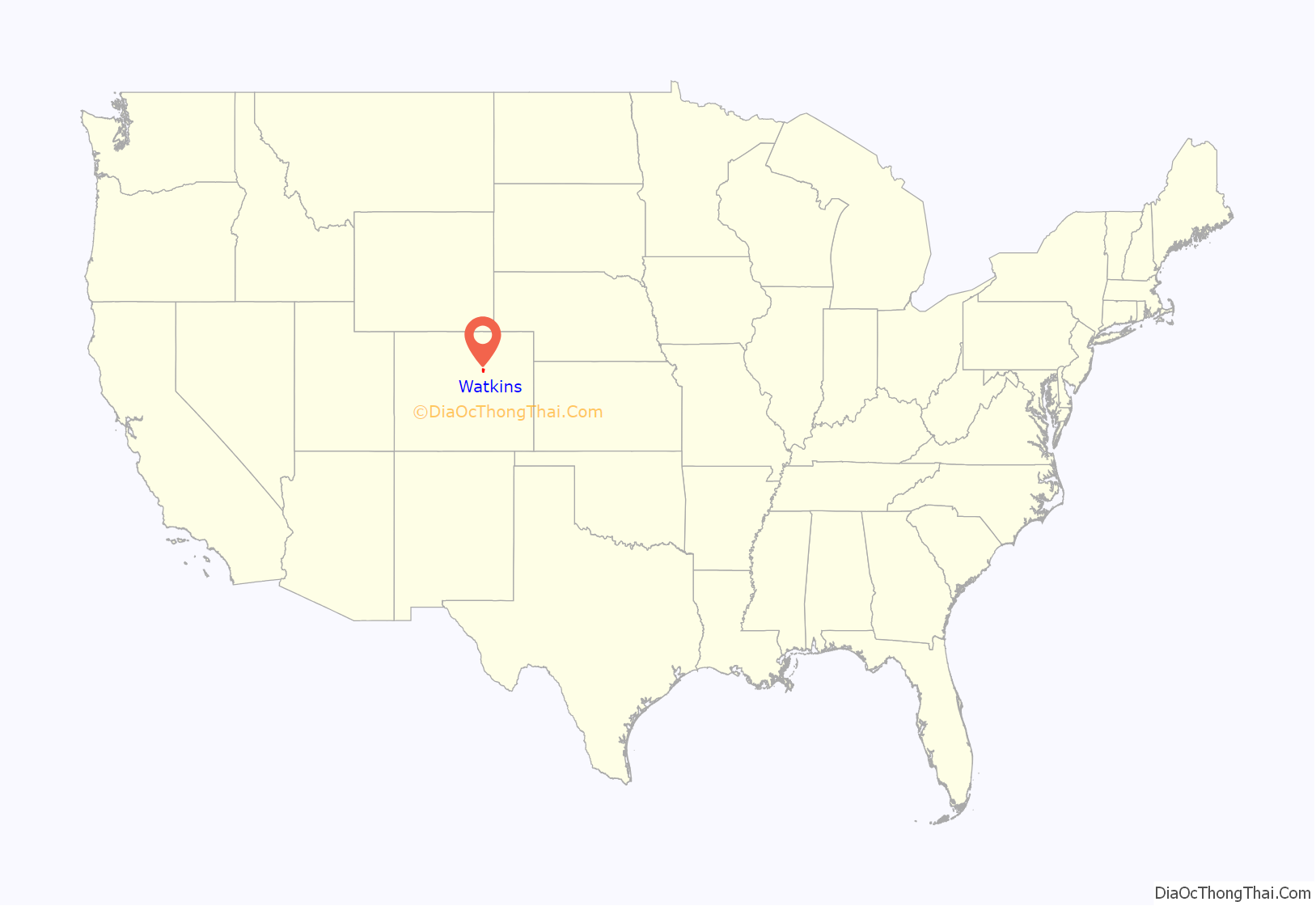
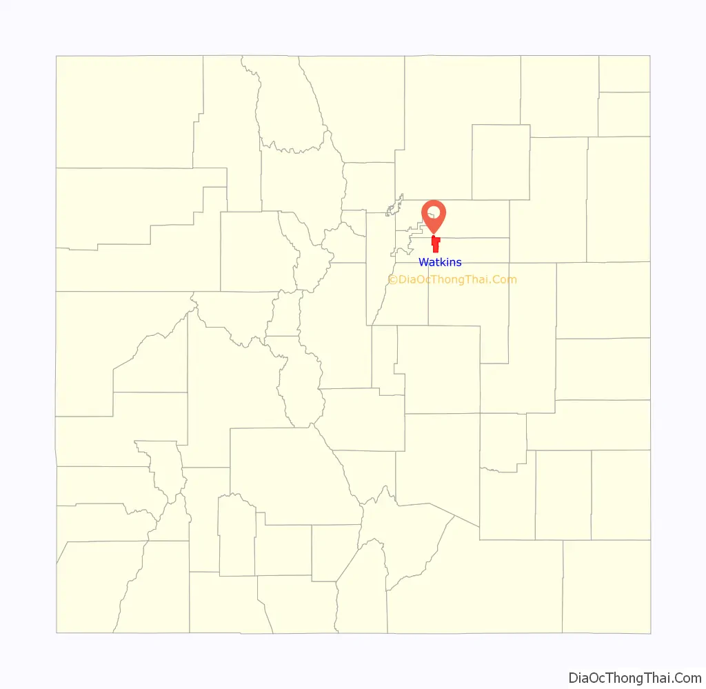
Watkins location map. Where is Watkins CDP?
History
The Watkins post office has been in operation since 1878. The community was named after L. A. Watkins, a cattleman. Long an unincorporated community, Watkins incorporated as a town on June 15, 2004. However, on November 7, 2006, the town voted to revert to being an unincorporated community by a margin of 308-184.
Watkins is involved in trying to build the First Park in Adams County, and the Watkins Historical Preservation Society is co-operating with the town on some historical buildings for installation in the park as well. Front Range Airport is located near Watkins.
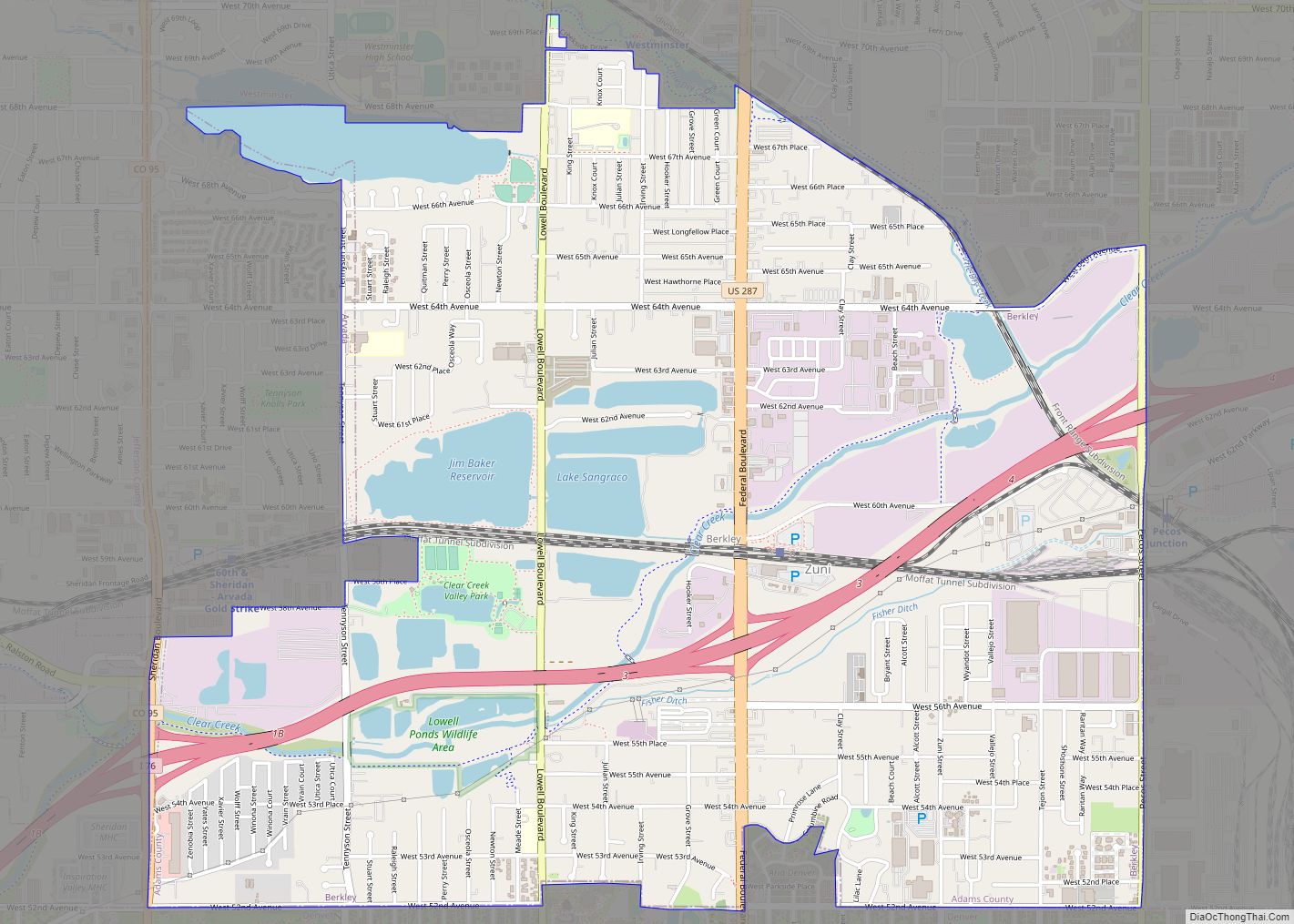
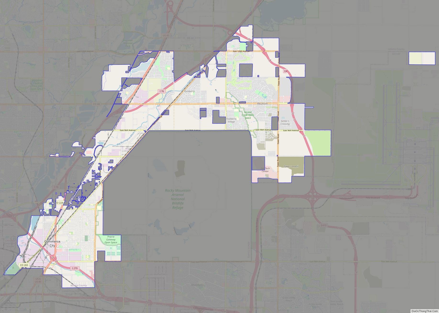
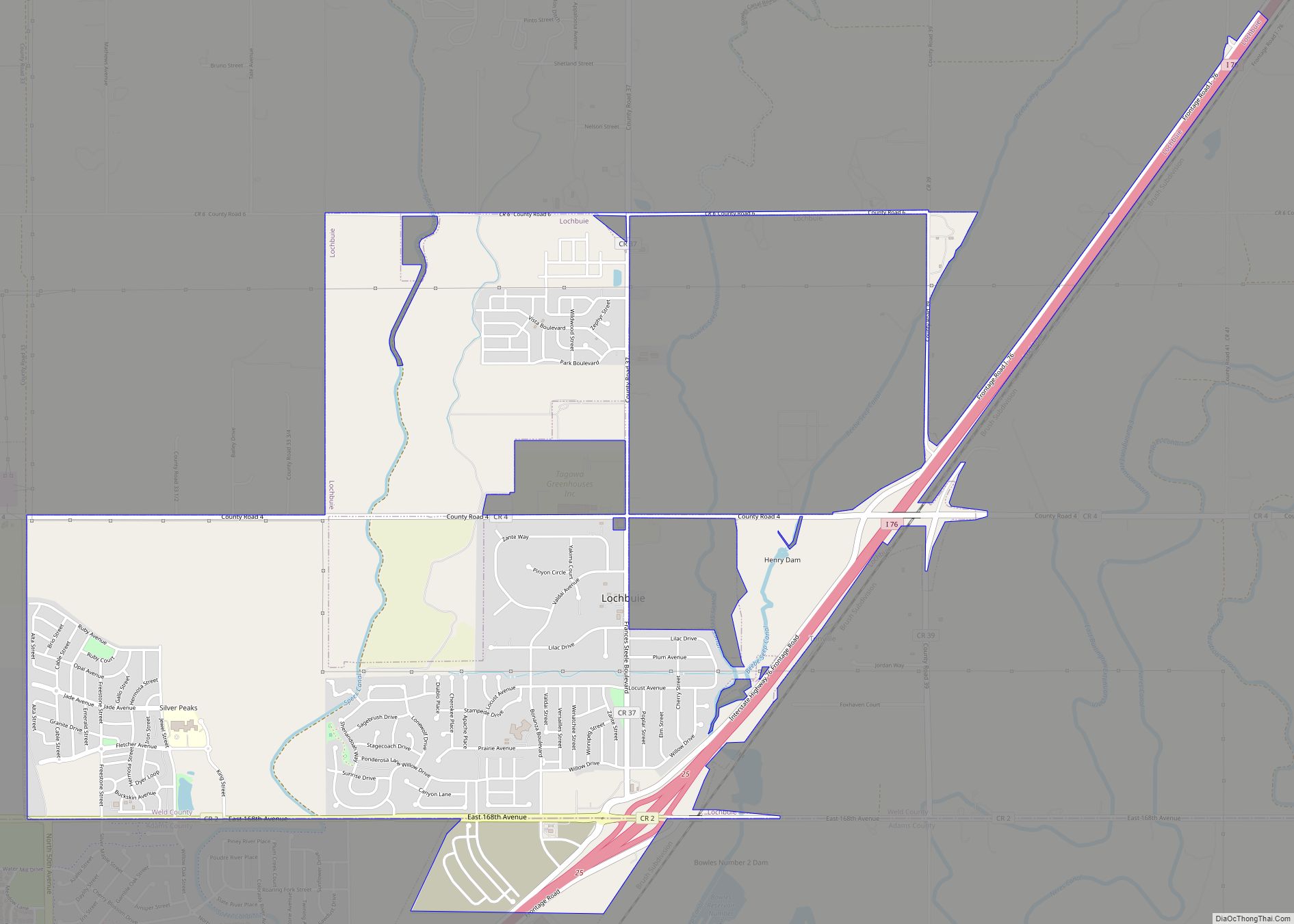
Watkins Road Map

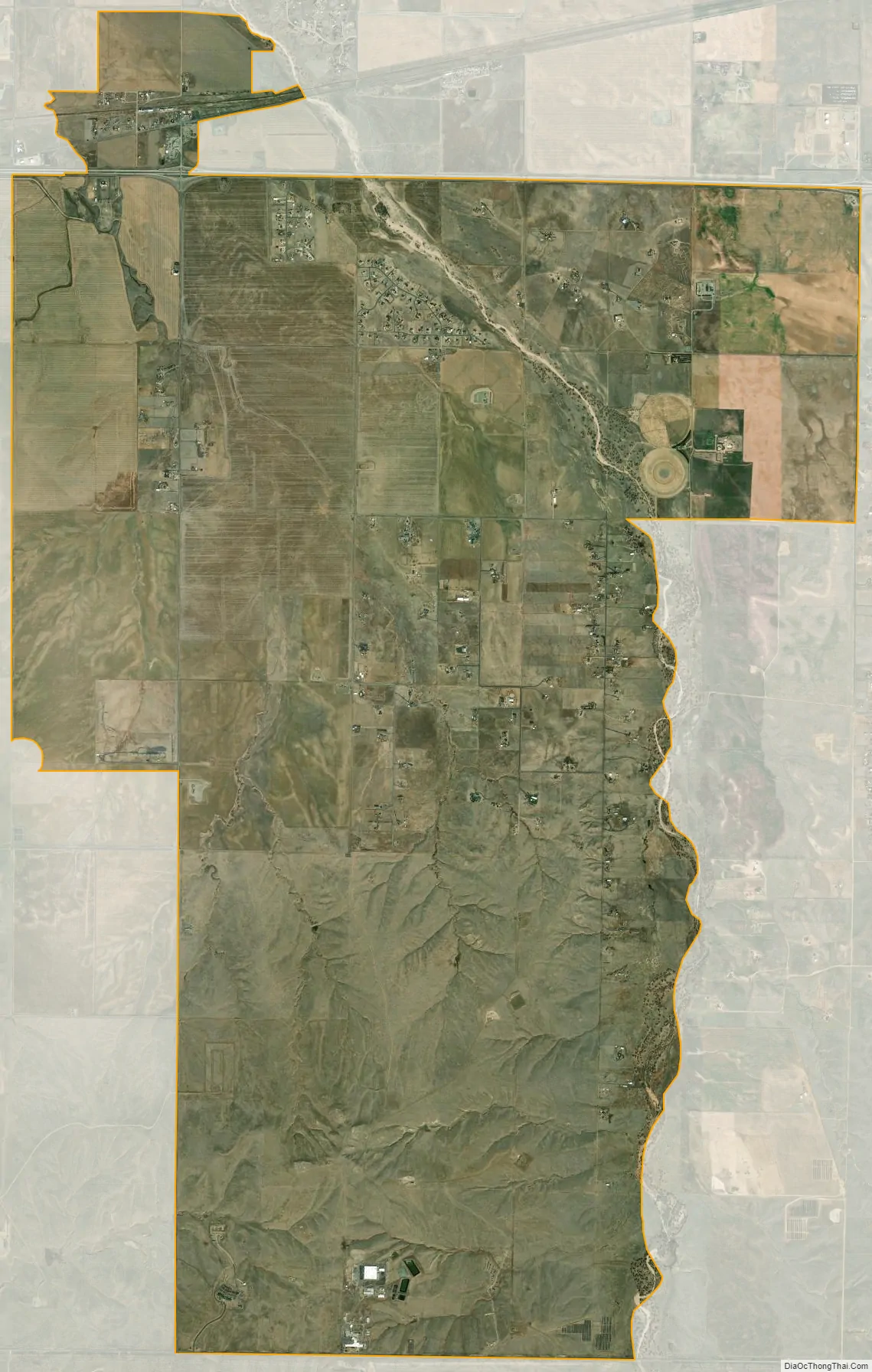
Watkins city Satellite Map
Geography
The Watkins CDP has an area of 15,842 acres (64.109 km), including 0.049 acres (0.0002 km) of water.
See also
Map of Colorado State and its subdivision:- Adams
- Alamosa
- Arapahoe
- Archuleta
- Baca
- Bent
- Boulder
- Broomfield
- Chaffee
- Cheyenne
- Clear Creek
- Conejos
- Costilla
- Crowley
- Custer
- Delta
- Denver
- Dolores
- Douglas
- Eagle
- El Paso
- Elbert
- Fremont
- Garfield
- Gilpin
- Grand
- Gunnison
- Hinsdale
- Huerfano
- Jackson
- Jefferson
- Kiowa
- Kit Carson
- La Plata
- Lake
- Larimer
- Las Animas
- Lincoln
- Logan
- Mesa
- Mineral
- Moffat
- Montezuma
- Montrose
- Morgan
- Otero
- Ouray
- Park
- Phillips
- Pitkin
- Prowers
- Pueblo
- Rio Blanco
- Rio Grande
- Routt
- Saguache
- San Juan
- San Miguel
- Sedgwick
- Summit
- Teller
- Washington
- Weld
- Yuma
- Alabama
- Alaska
- Arizona
- Arkansas
- California
- Colorado
- Connecticut
- Delaware
- District of Columbia
- Florida
- Georgia
- Hawaii
- Idaho
- Illinois
- Indiana
- Iowa
- Kansas
- Kentucky
- Louisiana
- Maine
- Maryland
- Massachusetts
- Michigan
- Minnesota
- Mississippi
- Missouri
- Montana
- Nebraska
- Nevada
- New Hampshire
- New Jersey
- New Mexico
- New York
- North Carolina
- North Dakota
- Ohio
- Oklahoma
- Oregon
- Pennsylvania
- Rhode Island
- South Carolina
- South Dakota
- Tennessee
- Texas
- Utah
- Vermont
- Virginia
- Washington
- West Virginia
- Wisconsin
- Wyoming