Weston is an unincorporated town, a post office, and a census-designated place (CDP) located in and governed by Las Animas County, Colorado, United States. The Weston post office has the ZIP Code 81091. At the United States Census 2020, the population of the Weston CDP was 53.
| Name: | Weston CDP |
|---|---|
| LSAD Code: | 57 |
| LSAD Description: | CDP (suffix) |
| State: | Colorado |
| County: | Las Animas County |
| Elevation: | 7,054 ft (2,150 m) |
| Total Area: | 3.099 sq mi (8.026 km²) |
| Land Area: | 3.099 sq mi (8.026 km²) |
| Water Area: | 0.000 sq mi (0.000 km²) |
| Total Population: | 53 |
| Population Density: | 17/sq mi (6.6/km²) |
| ZIP code: | 81091 |
| Area code: | 719 |
| FIPS code: | 0884000 |
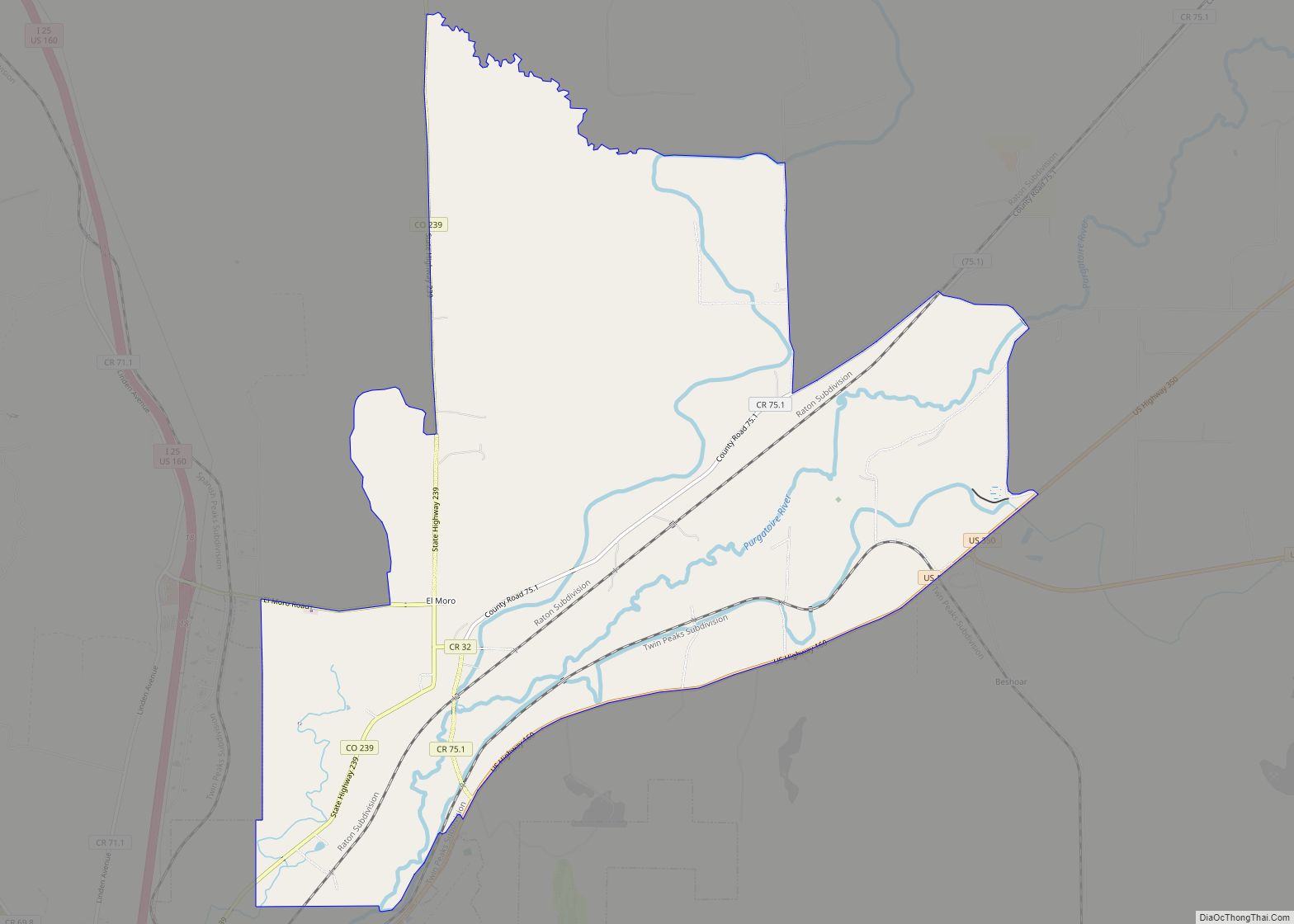
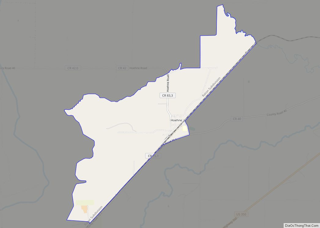
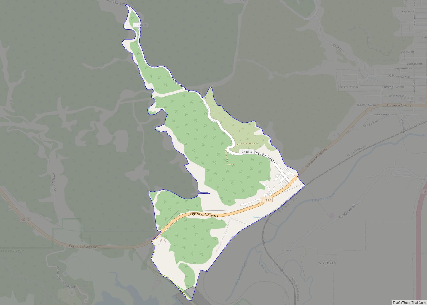
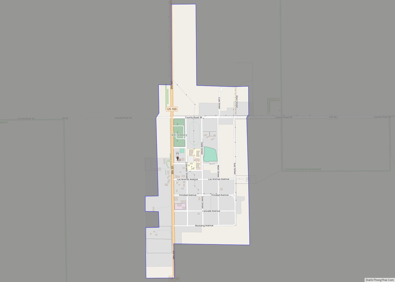
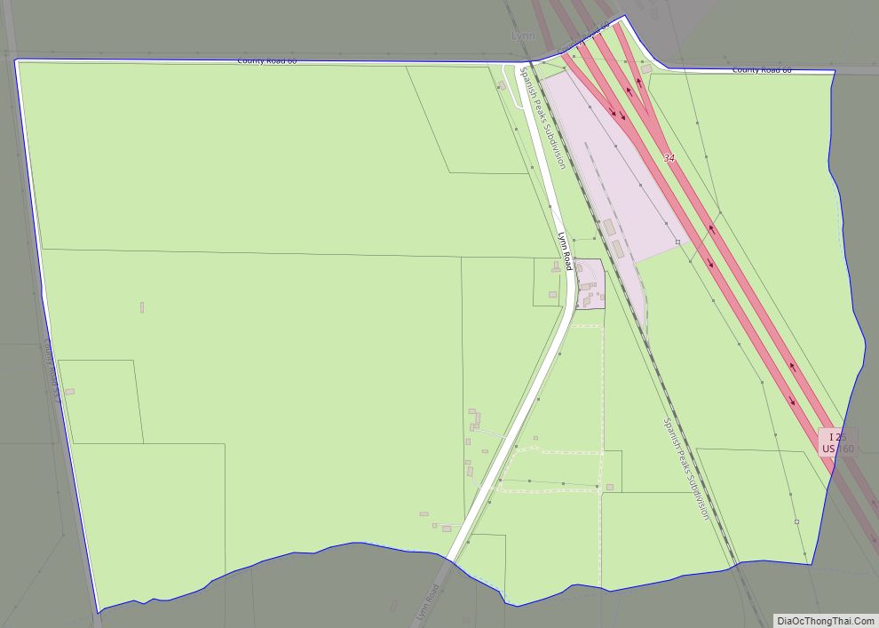
Online Interactive Map
Click on ![]() to view map in "full screen" mode.
to view map in "full screen" mode.
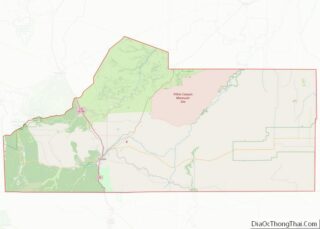
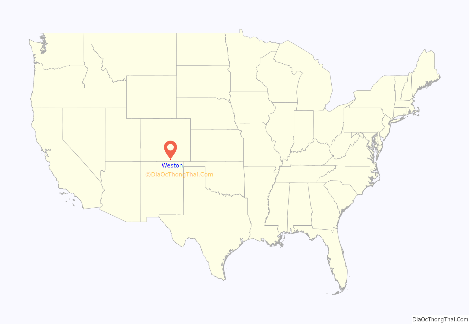
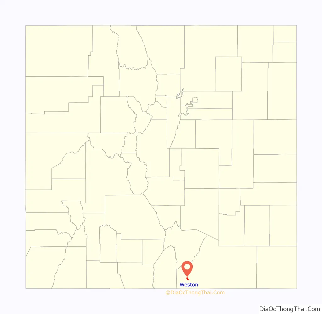
Weston location map. Where is Weston CDP?
History
The Weston Post Office has been in operation since 1889. The community was named after A. J. Weston, a local pioneer.
There is an old church at Vigil Plaza, near Weston.
There is a different old church dating from 1866 or 1867, and a cemetery, about three miles east, at Medina Plaza. These were listed on the National Register of Historic Places in 2019 as Our Lady of Guadalupe Church and Medina Cemetery.
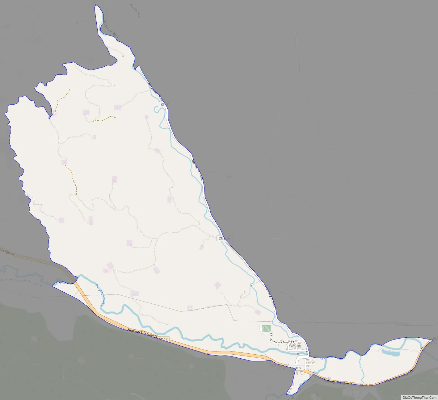
Weston Road Map
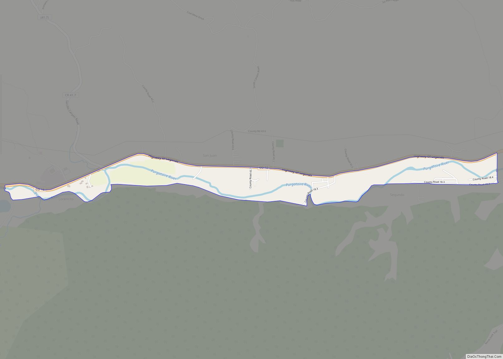
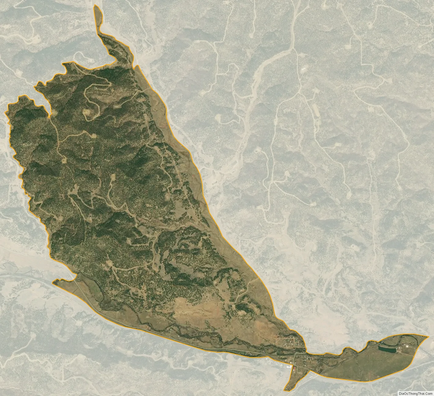
Weston city Satellite Map
Geography
Weston sits in the valley of the Purgatoire River, on the north side of the river, near where the South Fork joins the main stem. Colorado State Highway 12 passes through the community, leading east (downriver) 22 miles (35 km) to Trinidad, the county seat, and west 11 miles (18 km) to Stonewall Gap.
The Weston CDP has an area of 1,983 acres (8.026 km), all land.
See also
Map of Colorado State and its subdivision:- Adams
- Alamosa
- Arapahoe
- Archuleta
- Baca
- Bent
- Boulder
- Broomfield
- Chaffee
- Cheyenne
- Clear Creek
- Conejos
- Costilla
- Crowley
- Custer
- Delta
- Denver
- Dolores
- Douglas
- Eagle
- El Paso
- Elbert
- Fremont
- Garfield
- Gilpin
- Grand
- Gunnison
- Hinsdale
- Huerfano
- Jackson
- Jefferson
- Kiowa
- Kit Carson
- La Plata
- Lake
- Larimer
- Las Animas
- Lincoln
- Logan
- Mesa
- Mineral
- Moffat
- Montezuma
- Montrose
- Morgan
- Otero
- Ouray
- Park
- Phillips
- Pitkin
- Prowers
- Pueblo
- Rio Blanco
- Rio Grande
- Routt
- Saguache
- San Juan
- San Miguel
- Sedgwick
- Summit
- Teller
- Washington
- Weld
- Yuma
- Alabama
- Alaska
- Arizona
- Arkansas
- California
- Colorado
- Connecticut
- Delaware
- District of Columbia
- Florida
- Georgia
- Hawaii
- Idaho
- Illinois
- Indiana
- Iowa
- Kansas
- Kentucky
- Louisiana
- Maine
- Maryland
- Massachusetts
- Michigan
- Minnesota
- Mississippi
- Missouri
- Montana
- Nebraska
- Nevada
- New Hampshire
- New Jersey
- New Mexico
- New York
- North Carolina
- North Dakota
- Ohio
- Oklahoma
- Oregon
- Pennsylvania
- Rhode Island
- South Carolina
- South Dakota
- Tennessee
- Texas
- Utah
- Vermont
- Virginia
- Washington
- West Virginia
- Wisconsin
- Wyoming