Wiggins is a statutory town in Morgan County, Colorado, United States. The population was 1,401 as of the 2020 census, up from 893 at the 2010 census.
The community was established in 1882 as the Burlington Railroad depot of “Corona”. Around 1900, Corona was renamed in honor of Oliver P. Wiggins, who had served as a guide and scout for Captain John C. Frémont on some of his explorations through northern Colorado in the 1840s and who had accompanied Kit Carson for 12 years on his expeditions.
| Name: | Wiggins town |
|---|---|
| LSAD Code: | 43 |
| LSAD Description: | town (suffix) |
| State: | Colorado |
| County: | Morgan County |
| Incorporated: | October 11, 1974 |
| Elevation: | 4,554 ft (1,388 m) |
| Total Area: | 1.33 sq mi (3.44 km²) |
| Land Area: | 1.32 sq mi (3.43 km²) |
| Water Area: | 0.00 sq mi (0.01 km²) |
| Total Population: | 1,401 |
| Population Density: | 1,059.0/sq mi (408.9/km²) |
| ZIP code: | 80654 |
| Area code: | 970 |
| FIPS code: | 0884770 |
| Website: | townofwiggins.colorado.gov |
Online Interactive Map
Click on ![]() to view map in "full screen" mode.
to view map in "full screen" mode.
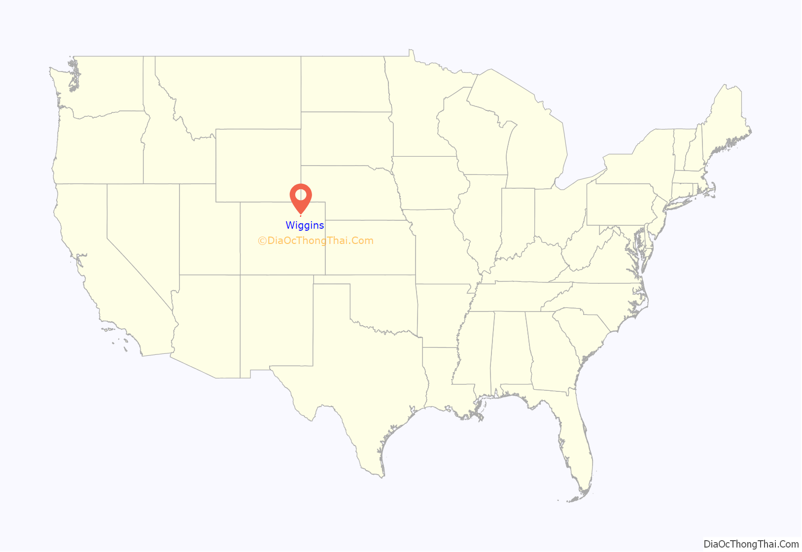
Wiggins location map. Where is Wiggins town?
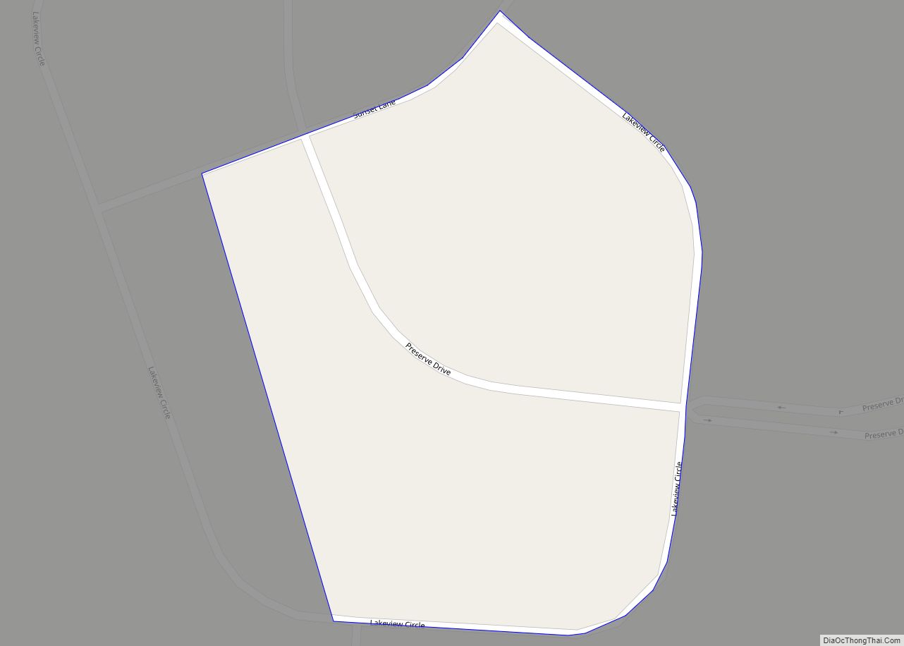
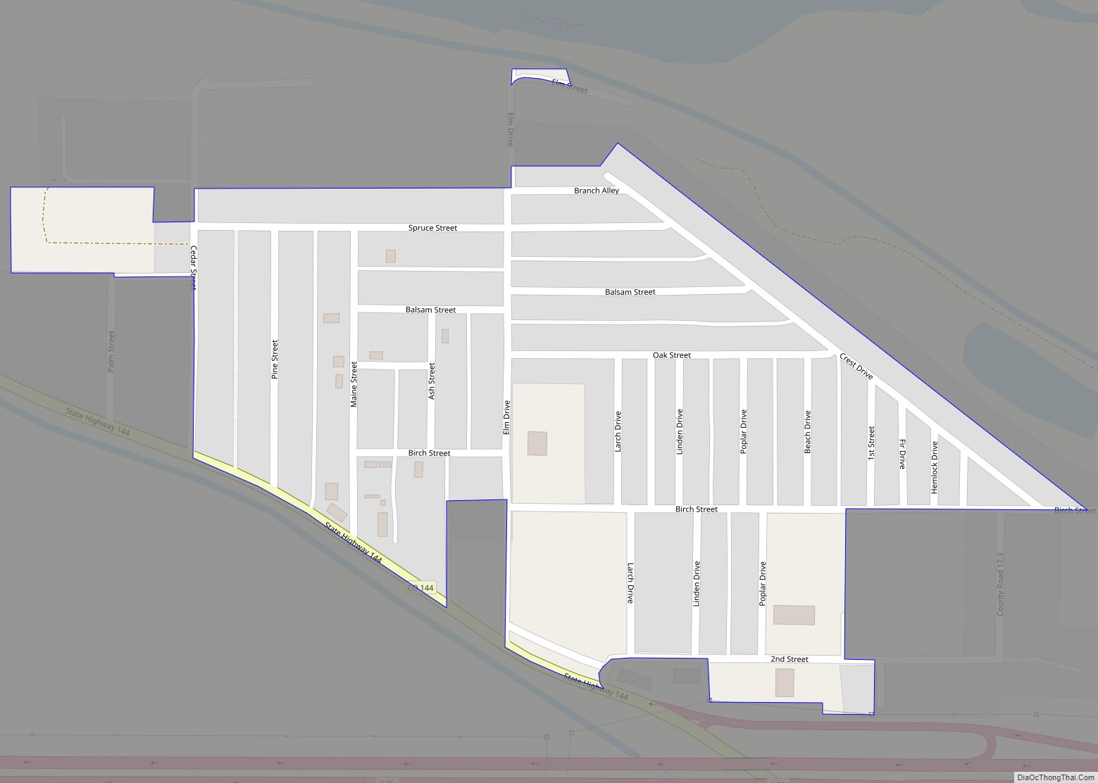
Wiggins Road Map
Wiggins city Satellite Map
Geography
Wiggins is in western Morgan County on the south side of Interstate 76, which leads east 15 miles (24 km) to Fort Morgan, the county seat, and southwest 64 miles (103 km) to Denver. U.S. Route 34 splits off from I-76 just north of the town, leading northwest 38 miles (61 km) to Greeley.
According to the United States Census Bureau, the town of Wiggins has a total area of 1.3 square miles (3.4 km), of which 0.004 square miles (0.010 km), or 0.30%, are water.
See also
Map of Colorado State and its subdivision:- Adams
- Alamosa
- Arapahoe
- Archuleta
- Baca
- Bent
- Boulder
- Broomfield
- Chaffee
- Cheyenne
- Clear Creek
- Conejos
- Costilla
- Crowley
- Custer
- Delta
- Denver
- Dolores
- Douglas
- Eagle
- El Paso
- Elbert
- Fremont
- Garfield
- Gilpin
- Grand
- Gunnison
- Hinsdale
- Huerfano
- Jackson
- Jefferson
- Kiowa
- Kit Carson
- La Plata
- Lake
- Larimer
- Las Animas
- Lincoln
- Logan
- Mesa
- Mineral
- Moffat
- Montezuma
- Montrose
- Morgan
- Otero
- Ouray
- Park
- Phillips
- Pitkin
- Prowers
- Pueblo
- Rio Blanco
- Rio Grande
- Routt
- Saguache
- San Juan
- San Miguel
- Sedgwick
- Summit
- Teller
- Washington
- Weld
- Yuma
- Alabama
- Alaska
- Arizona
- Arkansas
- California
- Colorado
- Connecticut
- Delaware
- District of Columbia
- Florida
- Georgia
- Hawaii
- Idaho
- Illinois
- Indiana
- Iowa
- Kansas
- Kentucky
- Louisiana
- Maine
- Maryland
- Massachusetts
- Michigan
- Minnesota
- Mississippi
- Missouri
- Montana
- Nebraska
- Nevada
- New Hampshire
- New Jersey
- New Mexico
- New York
- North Carolina
- North Dakota
- Ohio
- Oklahoma
- Oregon
- Pennsylvania
- Rhode Island
- South Carolina
- South Dakota
- Tennessee
- Texas
- Utah
- Vermont
- Virginia
- Washington
- West Virginia
- Wisconsin
- Wyoming
