Woodmoor is an unincorporated community and a census-designated place (CDP) located in and governed by El Paso County, Colorado, United States. The CDP is a part of the Colorado Springs, CO Metropolitan Statistical Area. The population of the Woodmoor CDP was 9,536 at the United States Census 2020. The Monument post office (Zip Code 80132) serves the area.
| Name: | Woodmoor CDP |
|---|---|
| LSAD Code: | 57 |
| LSAD Description: | CDP (suffix) |
| State: | Colorado |
| County: | El Paso County |
| Elevation: | 7,300 ft (2,225 m) |
| Total Area: | 6.093 sq mi (15.781 km²) |
| Land Area: | 6.031 sq mi (15.621 km²) |
| Water Area: | 0.062 sq mi (0.160 km²) |
| Total Population: | 9,536 |
| Population Density: | 1,600/sq mi (600/km²) |
| ZIP code: | Monument 80132 |
| Area code: | 719 |
| FIPS code: | 0886117 |
Online Interactive Map
Click on ![]() to view map in "full screen" mode.
to view map in "full screen" mode.
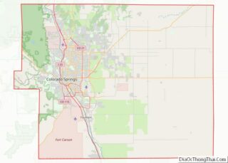
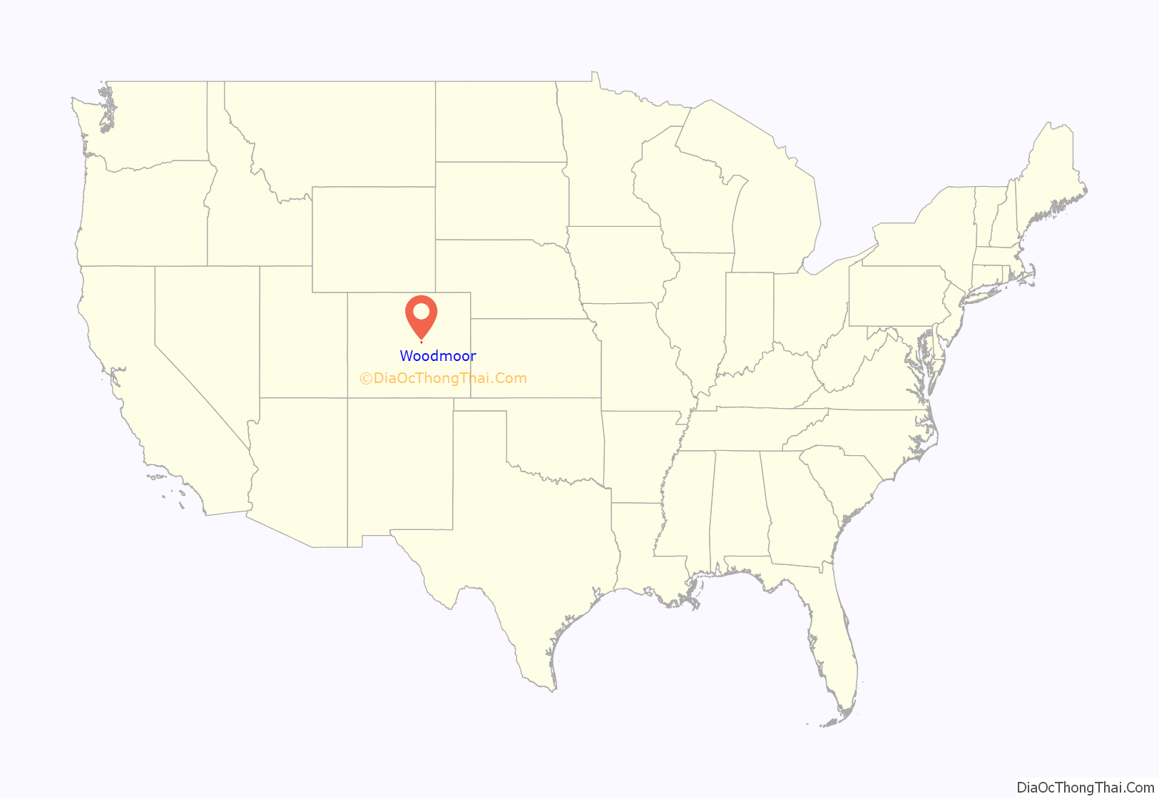
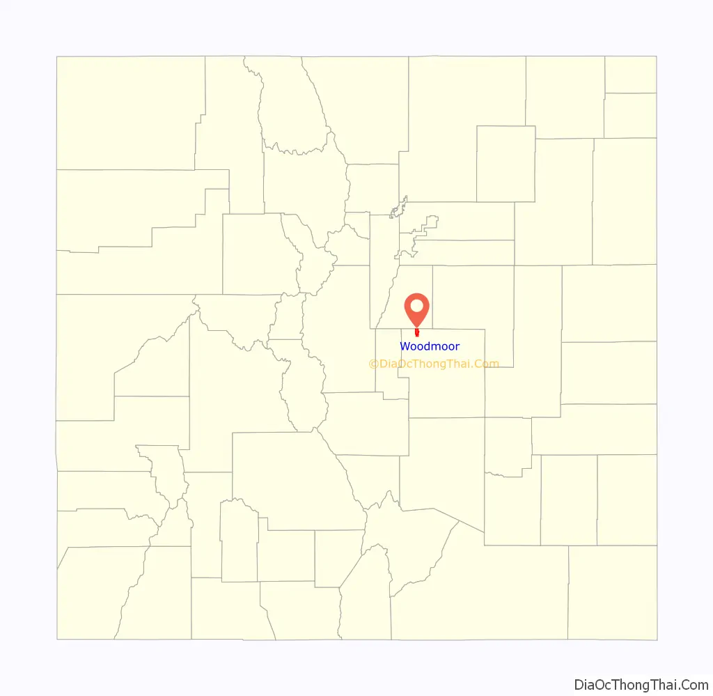
Woodmoor location map. Where is Woodmoor CDP?
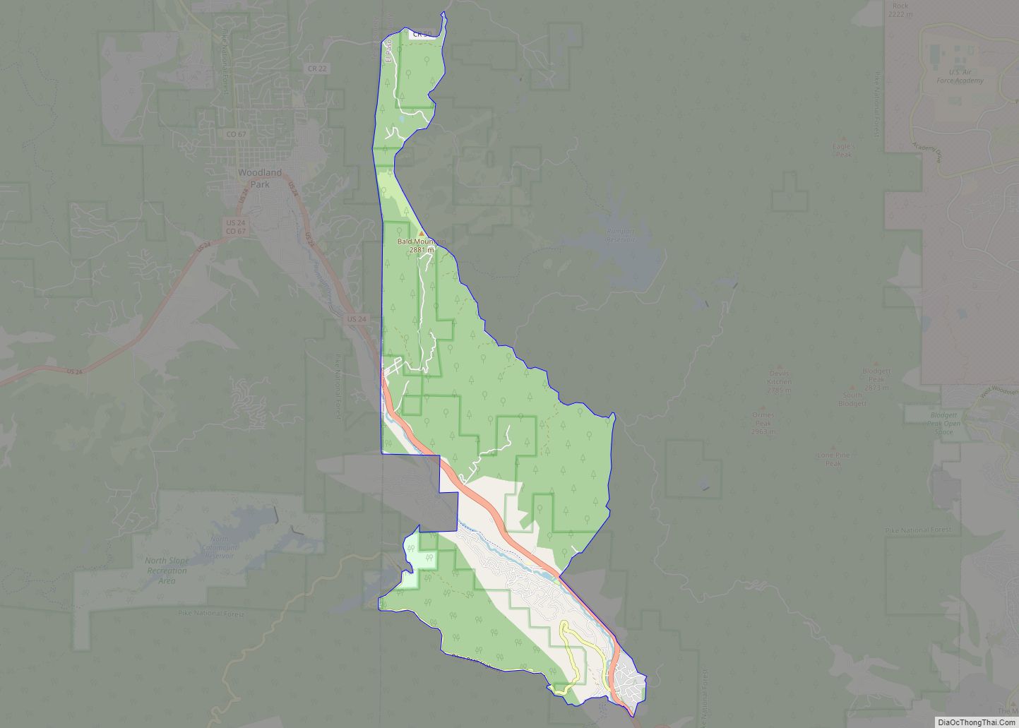
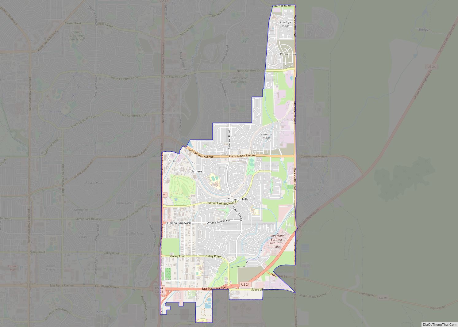
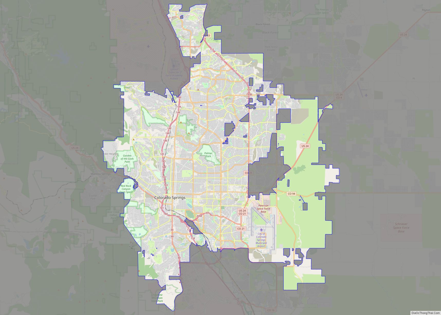
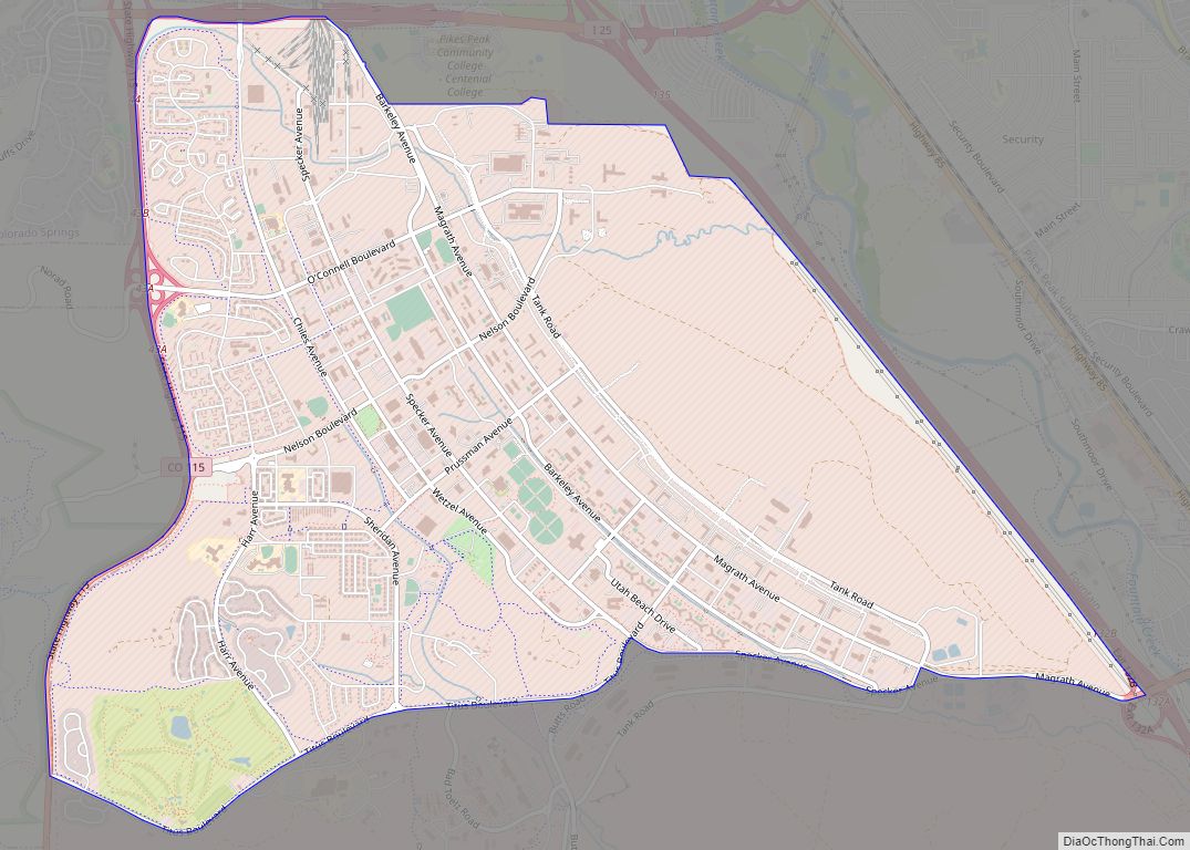
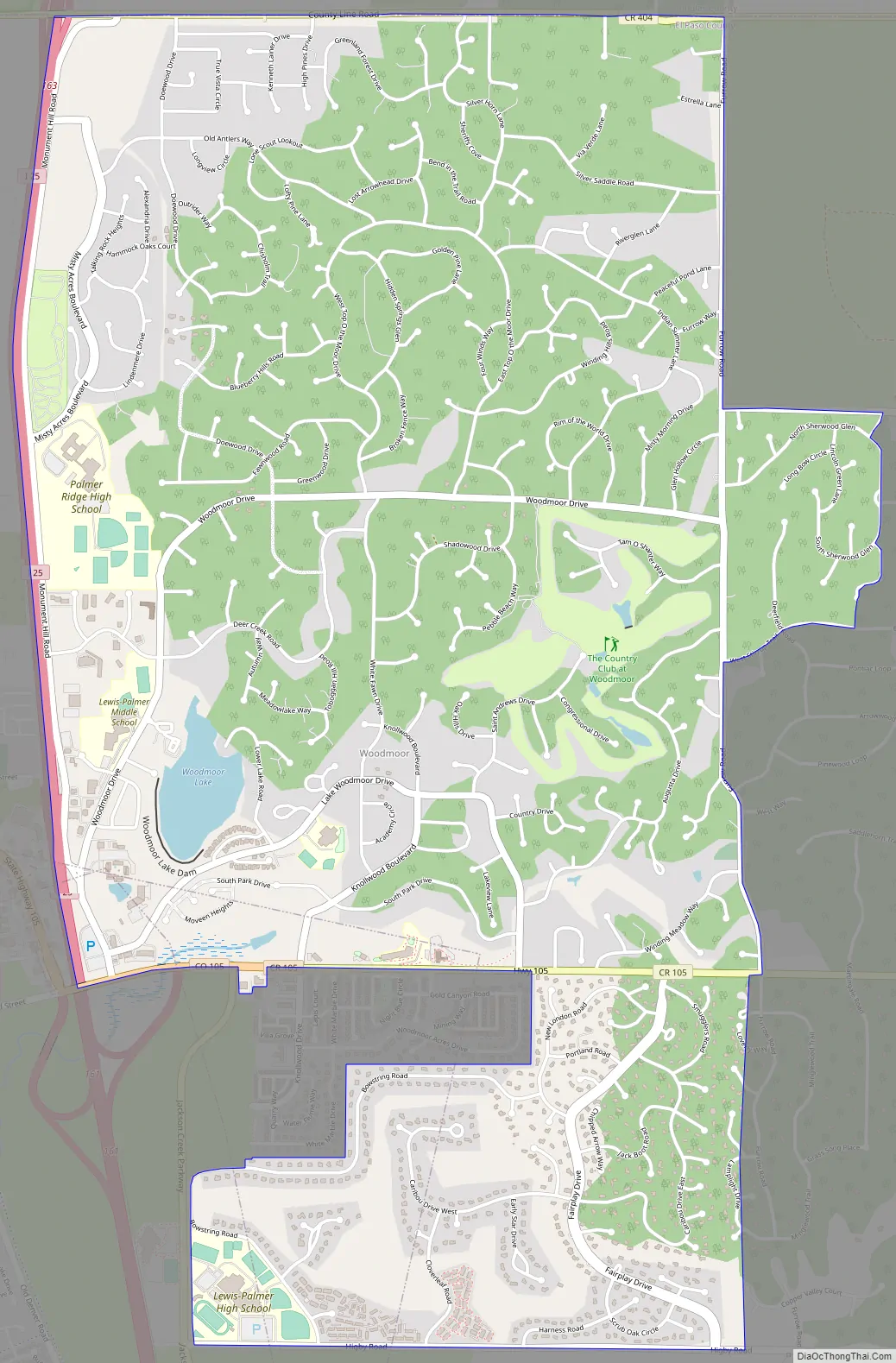
Woodmoor Road Map
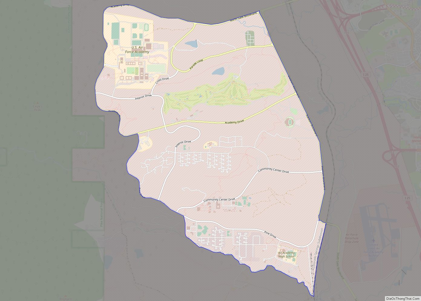
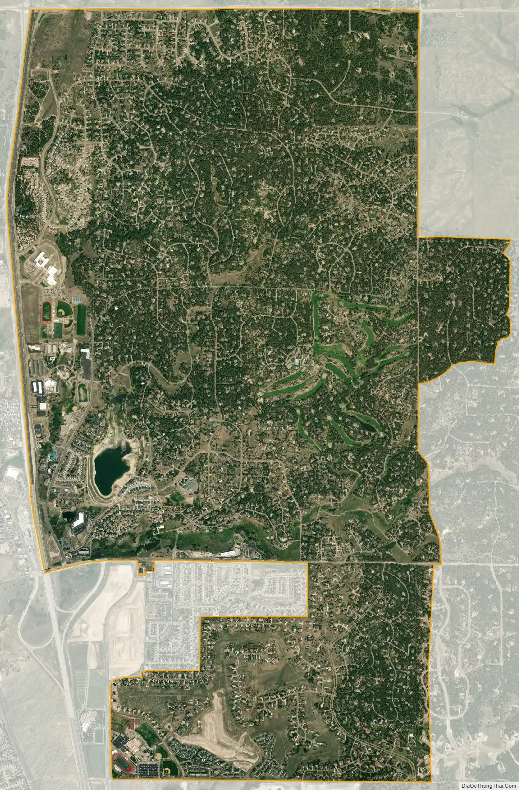
Woodmoor city Satellite Map
Geography
The approximate center of Woodmoor is 1.5 miles due east of the center of Monument, Colorado.
The Woodmoor CDP has an area of 3,900 acres (15.781 km), including 40 acres (0.160 km) of water.
Common Areas
The Woodmoor Commons have been somewhat of a mystery since there were no signs designating those areas for common use and no maps available to all Woodmoor Residents which designate the location of the common areas. In 1994, the Woodmoor Improvement Association rounded up volunteer residents to hike the areas, name them, build and install signs to the bigger areas, and prepare the first Guide to the Woodmoor Commons. Additionally, Woodmoor has numerous bridle trails in both North and South Woodmoor.
See also
Map of Colorado State and its subdivision:- Adams
- Alamosa
- Arapahoe
- Archuleta
- Baca
- Bent
- Boulder
- Broomfield
- Chaffee
- Cheyenne
- Clear Creek
- Conejos
- Costilla
- Crowley
- Custer
- Delta
- Denver
- Dolores
- Douglas
- Eagle
- El Paso
- Elbert
- Fremont
- Garfield
- Gilpin
- Grand
- Gunnison
- Hinsdale
- Huerfano
- Jackson
- Jefferson
- Kiowa
- Kit Carson
- La Plata
- Lake
- Larimer
- Las Animas
- Lincoln
- Logan
- Mesa
- Mineral
- Moffat
- Montezuma
- Montrose
- Morgan
- Otero
- Ouray
- Park
- Phillips
- Pitkin
- Prowers
- Pueblo
- Rio Blanco
- Rio Grande
- Routt
- Saguache
- San Juan
- San Miguel
- Sedgwick
- Summit
- Teller
- Washington
- Weld
- Yuma
- Alabama
- Alaska
- Arizona
- Arkansas
- California
- Colorado
- Connecticut
- Delaware
- District of Columbia
- Florida
- Georgia
- Hawaii
- Idaho
- Illinois
- Indiana
- Iowa
- Kansas
- Kentucky
- Louisiana
- Maine
- Maryland
- Massachusetts
- Michigan
- Minnesota
- Mississippi
- Missouri
- Montana
- Nebraska
- Nevada
- New Hampshire
- New Jersey
- New Mexico
- New York
- North Carolina
- North Dakota
- Ohio
- Oklahoma
- Oregon
- Pennsylvania
- Rhode Island
- South Carolina
- South Dakota
- Tennessee
- Texas
- Utah
- Vermont
- Virginia
- Washington
- West Virginia
- Wisconsin
- Wyoming