Grant-Valkaria is a town in Brevard County, Florida. The town’s population was 4,449 at 2022.
Grant-Valkaria is located south of Melbourne, between Palm Bay and Sebastian. It is part of the Palm Bay–Melbourne–Titusville Metropolitan Statistical Area. Grant-Valkaria was incorporated as a town on July 25, 2006, by joining the two previously unincorporated communities of Grant and Valkaria. The ZIP code is 32949 (and portions of 32950, and 32909), and the area code is 321.
| Name: | Grant-Valkaria town |
|---|---|
| LSAD Code: | 43 |
| LSAD Description: | town (suffix) |
| State: | Florida |
| County: | Brevard County |
| Total Area: | 30.26 sq mi (78.36 km²) |
| Land Area: | 27.22 sq mi (70.50 km²) |
| Water Area: | 3.03 sq mi (7.86 km²) |
| Total Population: | 4,509 |
| Population Density: | 165.64/sq mi (63.95/km²) |
| ZIP code: | 32949, 32950, 32909 |
| Area code: | 321 |
| FIPS code: | 1227256 |
| GNISfeature ID: | 292723 |
| Website: | www.GrantValkaria.org |
Online Interactive Map
Click on ![]() to view map in "full screen" mode.
to view map in "full screen" mode.
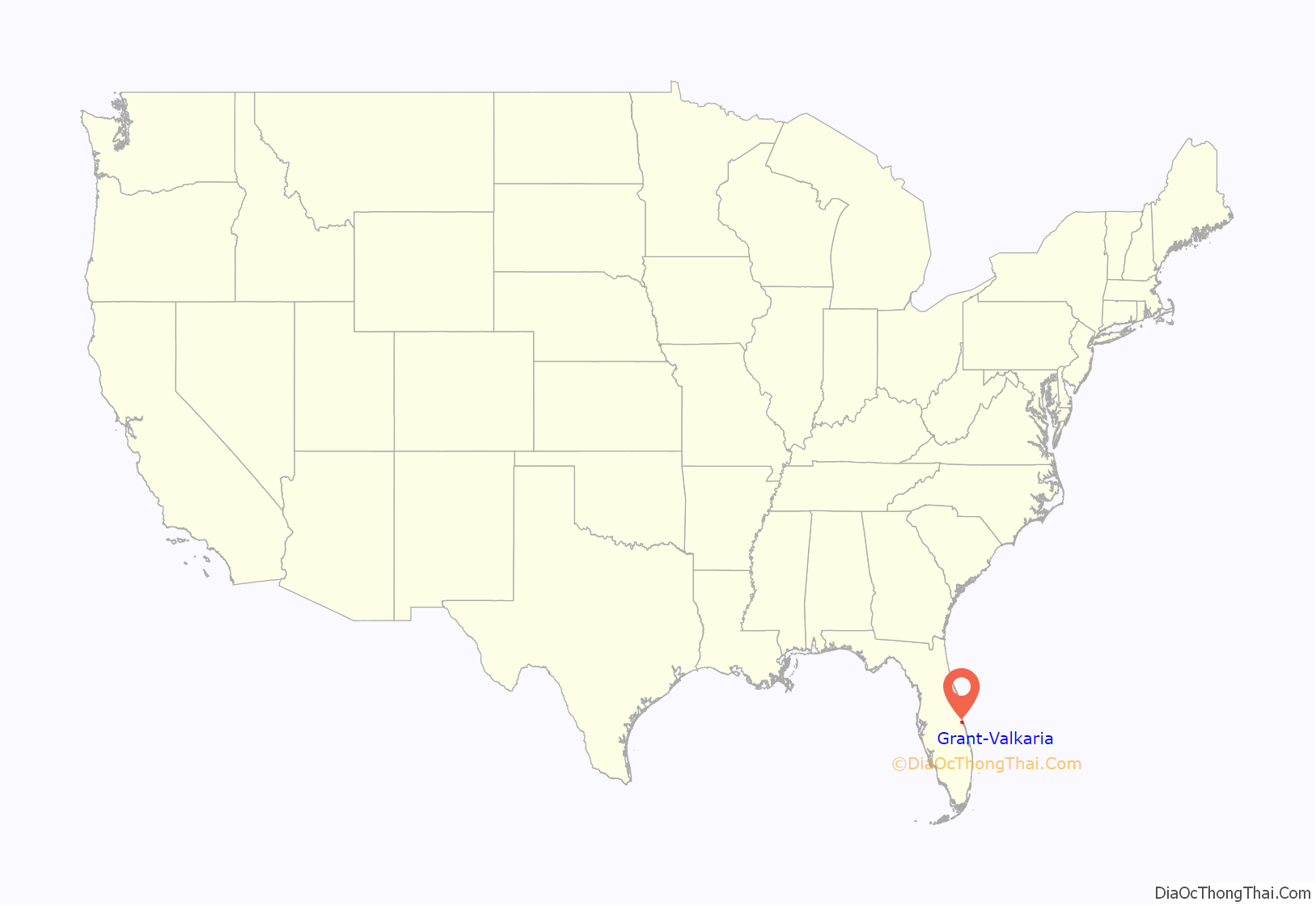
Grant-Valkaria location map. Where is Grant-Valkaria town?
History
The community of Grant was originally established in 1925, and it has a history as a fishing village, with agriculture also a part of both communities’ histories.
The community name of Valkaria derives from Valkyrie, a warrior-maiden of Norse mythology.
A MISTRAM missile tracking system was built by the US Air Force here in the early 1960s.
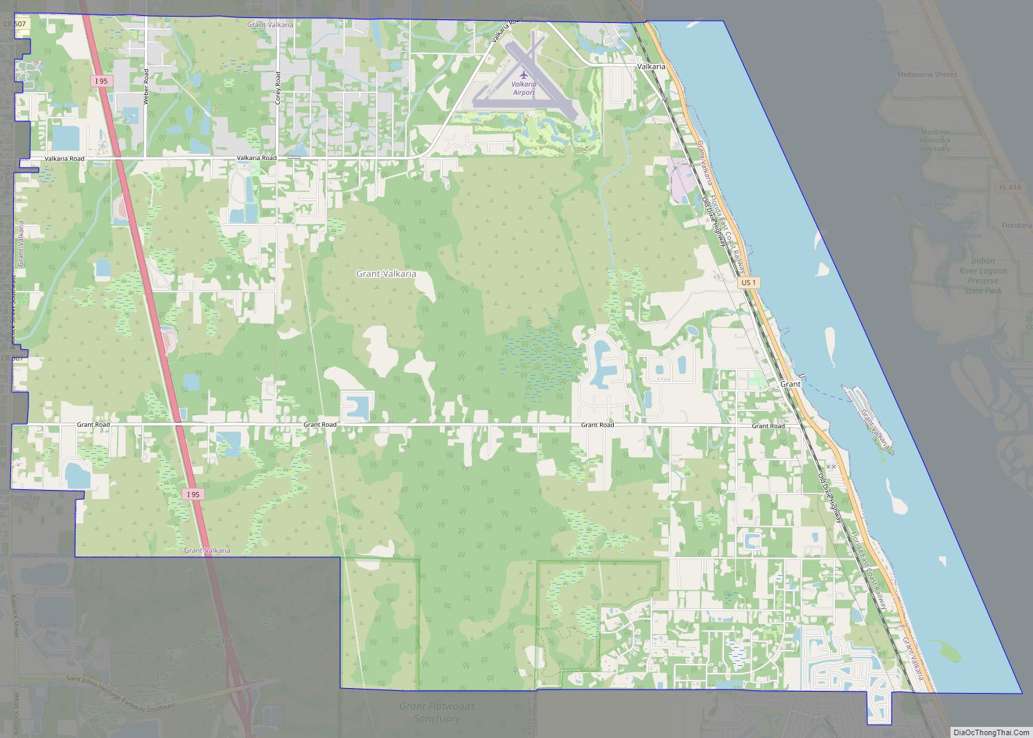
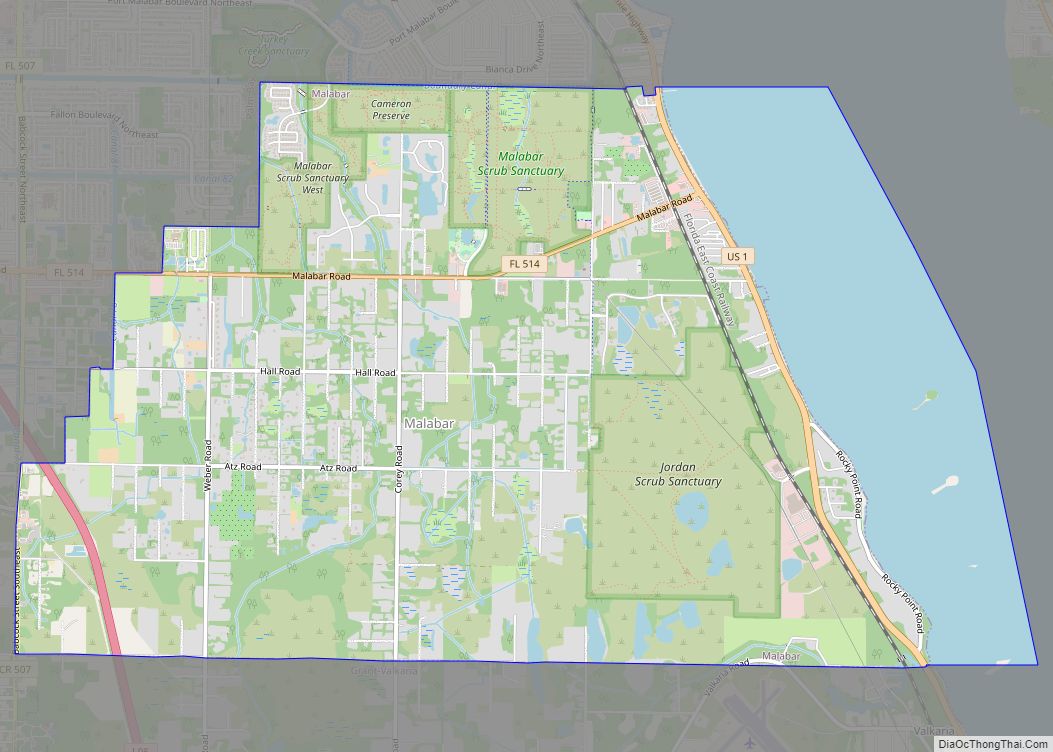
Grant-Valkaria Road Map
Grant-Valkaria city Satellite Map
Geography
Grant-Valkaria is located at 27°56′03″N 80°33′57″W / 27.934301°N 80.565885°W / 27.934301; -80.565885.
Surrounding areas
See also
Map of Florida State and its subdivision:- Alachua
- Baker
- Bay
- Bradford
- Brevard
- Broward
- Calhoun
- Charlotte
- Citrus
- Clay
- Collier
- Columbia
- Desoto
- Dixie
- Duval
- Escambia
- Flagler
- Franklin
- Gadsden
- Gilchrist
- Glades
- Gulf
- Hamilton
- Hardee
- Hendry
- Hernando
- Highlands
- Hillsborough
- Holmes
- Indian River
- Jackson
- Jefferson
- Lafayette
- Lake
- Lee
- Leon
- Levy
- Liberty
- Madison
- Manatee
- Marion
- Martin
- Miami-Dade
- Monroe
- Nassau
- Okaloosa
- Okeechobee
- Orange
- Osceola
- Palm Beach
- Pasco
- Pinellas
- Polk
- Putnam
- Saint Johns
- Saint Lucie
- Santa Rosa
- Sarasota
- Seminole
- Sumter
- Suwannee
- Taylor
- Union
- Volusia
- Wakulla
- Walton
- Washington
- Alabama
- Alaska
- Arizona
- Arkansas
- California
- Colorado
- Connecticut
- Delaware
- District of Columbia
- Florida
- Georgia
- Hawaii
- Idaho
- Illinois
- Indiana
- Iowa
- Kansas
- Kentucky
- Louisiana
- Maine
- Maryland
- Massachusetts
- Michigan
- Minnesota
- Mississippi
- Missouri
- Montana
- Nebraska
- Nevada
- New Hampshire
- New Jersey
- New Mexico
- New York
- North Carolina
- North Dakota
- Ohio
- Oklahoma
- Oregon
- Pennsylvania
- Rhode Island
- South Carolina
- South Dakota
- Tennessee
- Texas
- Utah
- Vermont
- Virginia
- Washington
- West Virginia
- Wisconsin
- Wyoming
