Palmetto Bay is a suburban incorporated village in Miami-Dade County, Florida, United States. The population was 24,439 as of the 2020 US census.
Palmetto Bay includes three neighborhoods that were former census-designated places, Cutler, Rockdale and East Perrine.
| Name: | Palmetto Bay village |
|---|---|
| LSAD Code: | 47 |
| LSAD Description: | village (suffix) |
| State: | Florida |
| County: | Miami-Dade County |
| Incorporated: | September 10, 2002 |
| Total Area: | 8.44 sq mi (21.86 km²) |
| Land Area: | 8.29 sq mi (21.46 km²) |
| Water Area: | 0.16 sq mi (0.41 km²) 0.44% |
| Total Population: | 24,439 |
| Population Density: | 2,949.79/sq mi (1,138.96/km²) |
| Area code: | 305, 786 |
| FIPS code: | 1254275 |
| Website: | www.palmettobay-fl.gov |
Online Interactive Map
Click on ![]() to view map in "full screen" mode.
to view map in "full screen" mode.
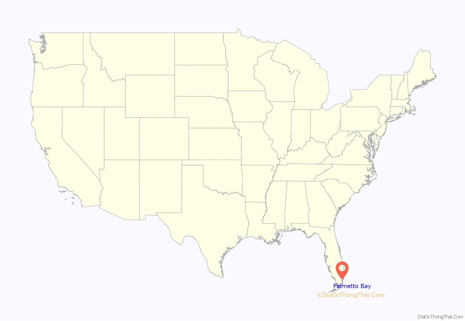
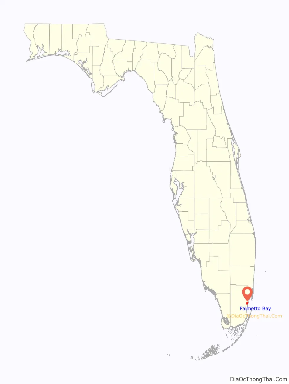
Palmetto Bay location map. Where is Palmetto Bay village?
History
In August 1992, Palmetto Bay and the surrounding South Miami-Dade area were severely damaged by Hurricane Andrew. Many of the homes and businesses in Palmetto Bay were destroyed. In the subsequent years, the area was slowly rebuilt. Although many areas of Miami were heavily affected by Hurricane Andrew, Palmetto Bay was one of the worst affected and remains a reminder of the hurricane’s extensive disaster in the city today.
The village incorporated on September 10, 2002, taking the territory formerly held by the Cutler, Rockdale and East Perrine census-designated places. The founding council consisted of Mayor Eugene Flinn, Jr., Vice Mayor, Linda Robinson, and council members, John Breder, Edward Feller, and Paul Neidhart.
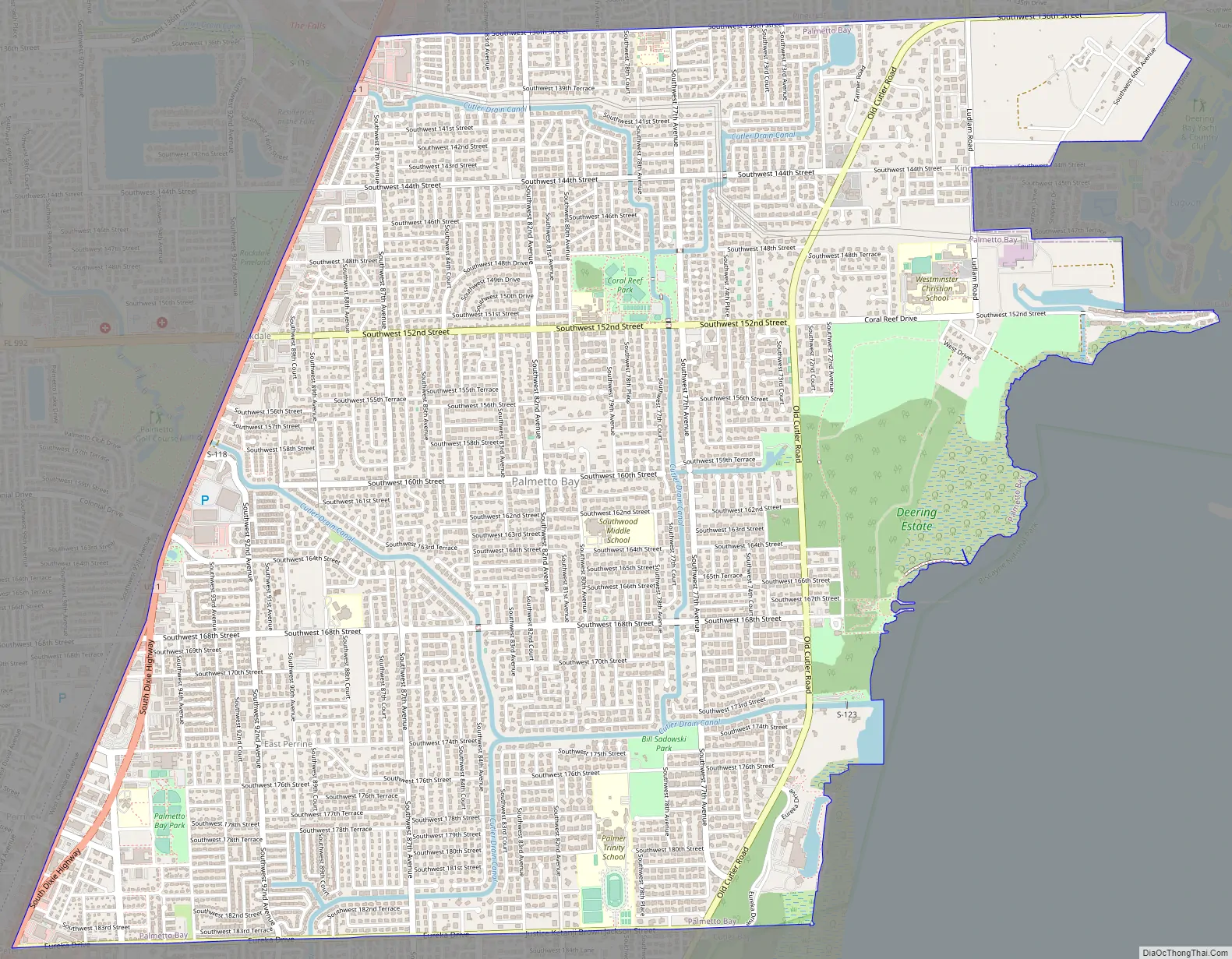
Palmetto Bay Road Map
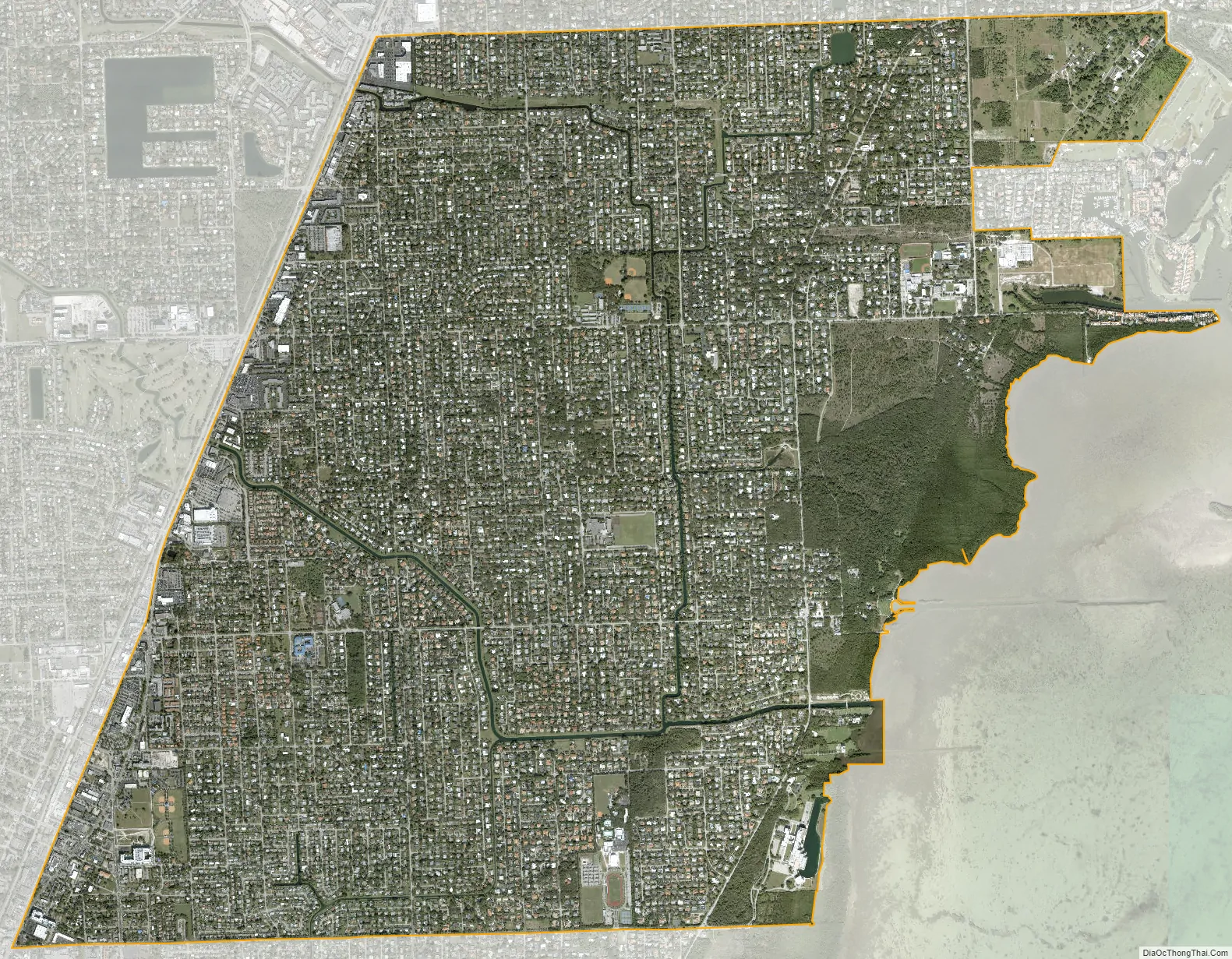
Palmetto Bay city Satellite Map
Geography
Palmetto Bay is located just west of Biscayne Bay 25°37′38″N 80°19′15″W / 25.62722°N 80.32083°W / 25.62722; -80.32083. It is 15 miles (24 km) southwest of downtown Miami. U.S. Route 1 (Dixie Highway) forms the western border of the village. Palmetto Bay is bordered to the northeast by Coral Gables, to the north by Pinecrest, to the northwest by Kendall, to the west by Palmetto Estates, to the southwest by West Perrine, and to the south by Cutler Bay.
According to the United States Census Bureau, the village of Palmetto Bay has a total area of 8.44 square miles (21.9 km). 8.28 square miles (21.4 km) of it are land and 0.16 square miles (0.41 km) of it 1.86% are covered by water.
See also
Map of Florida State and its subdivision:- Alachua
- Baker
- Bay
- Bradford
- Brevard
- Broward
- Calhoun
- Charlotte
- Citrus
- Clay
- Collier
- Columbia
- Desoto
- Dixie
- Duval
- Escambia
- Flagler
- Franklin
- Gadsden
- Gilchrist
- Glades
- Gulf
- Hamilton
- Hardee
- Hendry
- Hernando
- Highlands
- Hillsborough
- Holmes
- Indian River
- Jackson
- Jefferson
- Lafayette
- Lake
- Lee
- Leon
- Levy
- Liberty
- Madison
- Manatee
- Marion
- Martin
- Miami-Dade
- Monroe
- Nassau
- Okaloosa
- Okeechobee
- Orange
- Osceola
- Palm Beach
- Pasco
- Pinellas
- Polk
- Putnam
- Saint Johns
- Saint Lucie
- Santa Rosa
- Sarasota
- Seminole
- Sumter
- Suwannee
- Taylor
- Union
- Volusia
- Wakulla
- Walton
- Washington
- Alabama
- Alaska
- Arizona
- Arkansas
- California
- Colorado
- Connecticut
- Delaware
- District of Columbia
- Florida
- Georgia
- Hawaii
- Idaho
- Illinois
- Indiana
- Iowa
- Kansas
- Kentucky
- Louisiana
- Maine
- Maryland
- Massachusetts
- Michigan
- Minnesota
- Mississippi
- Missouri
- Montana
- Nebraska
- Nevada
- New Hampshire
- New Jersey
- New Mexico
- New York
- North Carolina
- North Dakota
- Ohio
- Oklahoma
- Oregon
- Pennsylvania
- Rhode Island
- South Carolina
- South Dakota
- Tennessee
- Texas
- Utah
- Vermont
- Virginia
- Washington
- West Virginia
- Wisconsin
- Wyoming


