Tamarac is a city in Broward County, Florida, United States. At the 2020 census, the city had a population of 71,897. It is part of the Miami metropolitan area, which was home to an estimated 6,012,331 people in 2015.
| Name: | Tamarac city |
|---|---|
| LSAD Code: | 25 |
| LSAD Description: | city (suffix) |
| State: | Florida |
| County: | Broward County |
| Incorporated: | August 15, 1963 |
| Elevation: | 9 ft (3 m) |
| Land Area: | 11.60 sq mi (30.03 km²) |
| Water Area: | 0.48 sq mi (1.25 km²) |
| Population Density: | 6,200.69/sq mi (2,394.08/km²) |
| ZIP code: | 33309, 33319, 33320, 33321, 33351, 33359 |
| Area code: | 954, 754 |
| FIPS code: | 1270675 |
| GNISfeature ID: | 0300337 |
| Website: | www.tamarac.org |
Online Interactive Map
Click on ![]() to view map in "full screen" mode.
to view map in "full screen" mode.
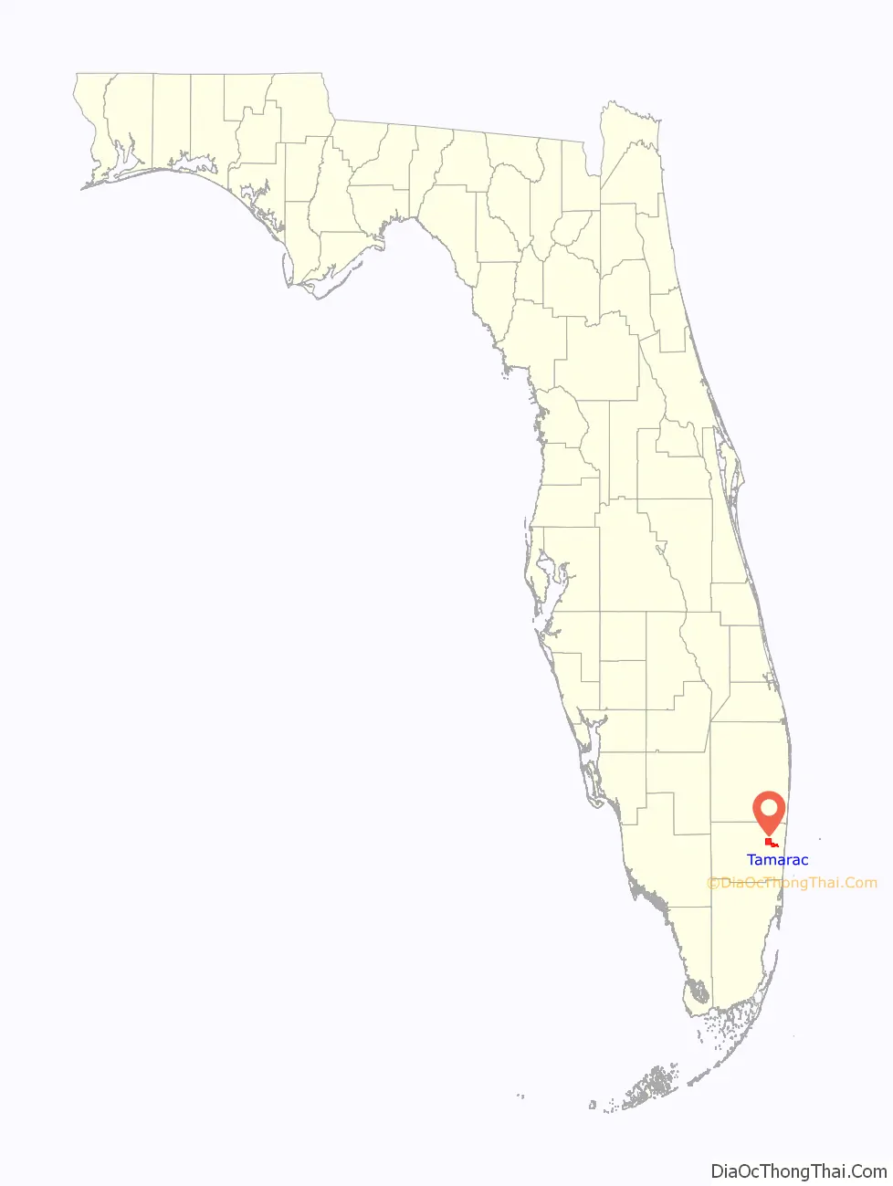
Tamarac location map. Where is Tamarac city?

History
In the early 1960s a young developer named Ken Behring came from the Midwest and bought land where he could, creating an active adult community of two-bedroom maintenance-free homes. He called his new city Tamarac, named after the nearby Tamarac Country Club in Oakland Park.
In 1963, Behring built and Jesse Pilch sold the city’s first development east of State Road 7, Tamarac Lakes Section One and Section Two. Next came two neighborhoods of homes built on a former orange grove called Tamarac Lakes North and Tamarac Lakes Boulevard. Four of Behring’s last developments were Tamarac Lakes South, then the Mainlands of Tamarac Lakes just west of State Road 7, and finally the Woodlands community.
The city’s early leaders, hoping to preserve Tamarac as a bedroom community, allowed Fort Lauderdale to annex commercial pockets, forever losing land that might have bolstered the city’s coffers. In the late 1970s, the city de-annexed a long line of commercial buildings from State Road 7 all the way to Northwest 31 Avenue, but it went along with Behring’s vision of Tamarac as a bedroom community. The boundaries were wherever Behring decided to build homes. The city’s current eastern boundaries narrow to a sliver from Northwest 31 to 37 Avenues, then widen to the south. The city’s easternmost boundary extends below Commercial Boulevard to Northwest 16 Avenue. City officials had once considered revising their east city limit lines to ensure efficient delivery of government services.
Behring also named a subdivision he built in the Pinellas Park area, the “Mainlands of Tamarac By-the-Gulf”.
Tamarac Road Map

Tamarac city Satellite Map

Geography
Tamarac is located at 26°12′13″N 80°14′47″W / 26.20361°N 80.24639°W / 26.20361; -80.24639 (26.203581, –80.246376). According to the United States Census Bureau, the city has a total area of 12.1 square miles (31.3 km), of which 11.6 square miles (30.1 km) is land and 0.46 square miles (1.2 km) is water (3.92%).
See also
Map of Florida State and its subdivision:- Alachua
- Baker
- Bay
- Bradford
- Brevard
- Broward
- Calhoun
- Charlotte
- Citrus
- Clay
- Collier
- Columbia
- Desoto
- Dixie
- Duval
- Escambia
- Flagler
- Franklin
- Gadsden
- Gilchrist
- Glades
- Gulf
- Hamilton
- Hardee
- Hendry
- Hernando
- Highlands
- Hillsborough
- Holmes
- Indian River
- Jackson
- Jefferson
- Lafayette
- Lake
- Lee
- Leon
- Levy
- Liberty
- Madison
- Manatee
- Marion
- Martin
- Miami-Dade
- Monroe
- Nassau
- Okaloosa
- Okeechobee
- Orange
- Osceola
- Palm Beach
- Pasco
- Pinellas
- Polk
- Putnam
- Saint Johns
- Saint Lucie
- Santa Rosa
- Sarasota
- Seminole
- Sumter
- Suwannee
- Taylor
- Union
- Volusia
- Wakulla
- Walton
- Washington
- Alabama
- Alaska
- Arizona
- Arkansas
- California
- Colorado
- Connecticut
- Delaware
- District of Columbia
- Florida
- Georgia
- Hawaii
- Idaho
- Illinois
- Indiana
- Iowa
- Kansas
- Kentucky
- Louisiana
- Maine
- Maryland
- Massachusetts
- Michigan
- Minnesota
- Mississippi
- Missouri
- Montana
- Nebraska
- Nevada
- New Hampshire
- New Jersey
- New Mexico
- New York
- North Carolina
- North Dakota
- Ohio
- Oklahoma
- Oregon
- Pennsylvania
- Rhode Island
- South Carolina
- South Dakota
- Tennessee
- Texas
- Utah
- Vermont
- Virginia
- Washington
- West Virginia
- Wisconsin
- Wyoming


