Mill Shoals is a village in Wayne and White counties in the U.S. State of Illinois. The population was 235 at the 2000 census, down to 176 at the 2020 census. In Fall 2022, Drew Lane Consultants LLC conducted a village-wide survey that totaled population at 157. The Village of Mill Shoals is located 4 hours and 14 minutes driving directly south of the City of Chicago (with no traffic), 58 minutes driving directly northwest of Evansville, Indiana, 2 hours and 9 minutes driving directly west of Louisville, Kentucky, and 1 hour and 42 minutes directly east of St. Louis, Missouri. The Village is home to a U.S. Post Office, community center, private grain elevator, and two churches. Residents are active members of the 4-H, FFA, and Ruritans.
| Name: | Mill Shoals village |
|---|---|
| LSAD Code: | 47 |
| LSAD Description: | village (suffix) |
| State: | Illinois |
| County: | Wayne County, White County |
| Founded: | 1869 |
| Elevation: | 390 ft (120 m) |
| Total Area: | 0.77 sq mi (1.99 km²) |
| Land Area: | 0.77 sq mi (1.99 km²) |
| Water Area: | 0.00 sq mi (0.00 km²) |
| Total Population: | 176 |
| Population Density: | 230/sq mi (88/km²) |
| Area code: | 618 |
| FIPS code: | 1749347 |
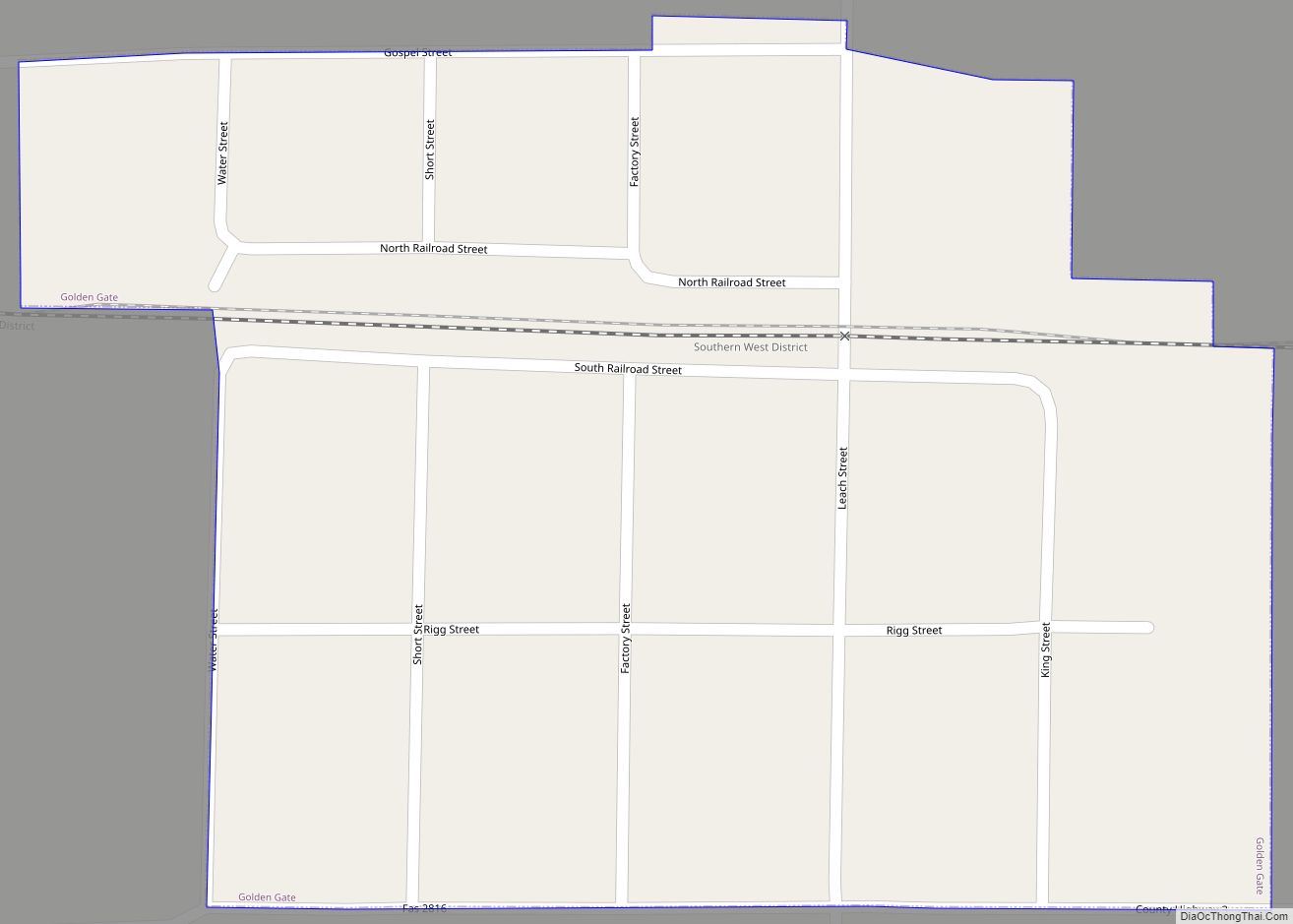
Online Interactive Map
Click on ![]() to view map in "full screen" mode.
to view map in "full screen" mode.
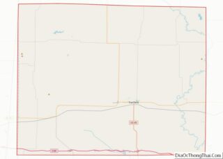
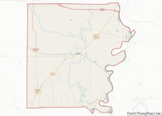
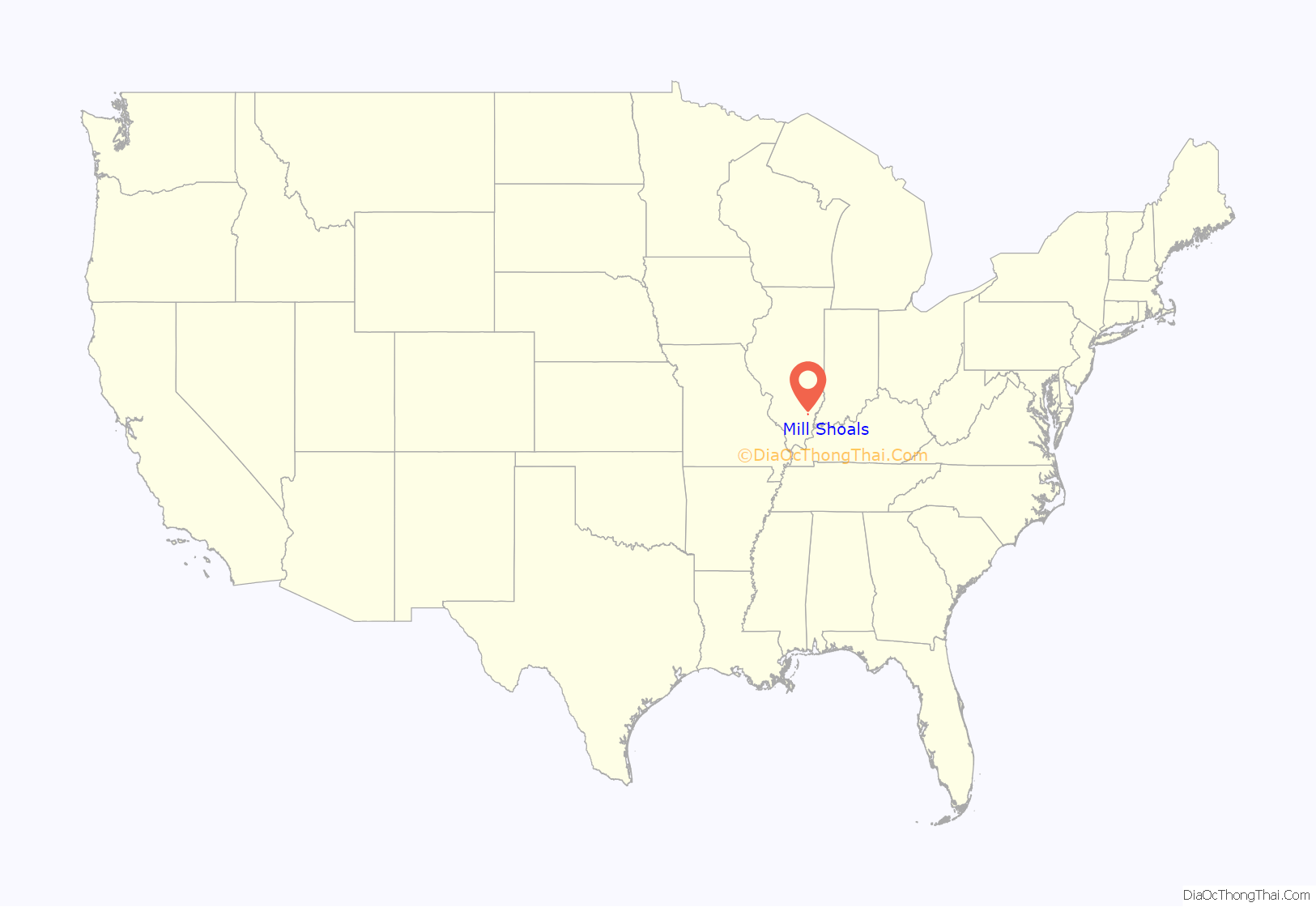
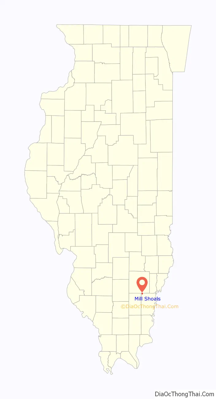
Mill Shoals location map. Where is Mill Shoals village?
History
The first Euro-American settlers, primarily of Scotch-Irish descent, came to White County, Illinois between 1807 and 1809. The first settlements were near the Little Wabash River and Big Prairie, one of the numerous prairies in the county. Many came through the land office at Shawneetown, which was a port for flatboats which traveled the Ohio River. The second half of the 19th century saw the establishment of the towns of Norris City, Springerton including Mill Shoals. Once the home of a thriving barrel-making industry which depleted the nearby virgin forests Mill Shoals had primarily been an agriculture village until 1939 when oil was discovered in the area. In the early 1970s the oil industry declined steeply and thus returned Mill Shoals to its agricultural roots. However, the town was greatly devastated by a large fire in the early forties and seventies and retains the authentic WPA Post office mural.
Many residents commute to nearby towns for employment including education, service, factories, and farms.
A Portrait of the Village of Mill Shoals in 1978
From the Institute of Cultural Affairs 1978 Human Development Project Report:
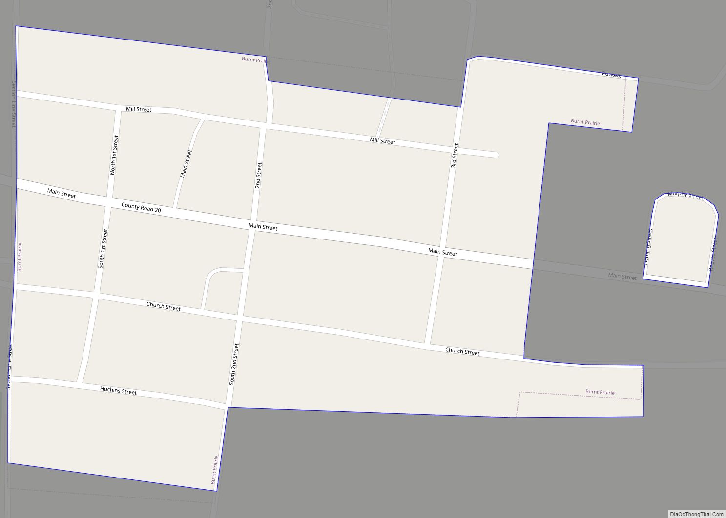
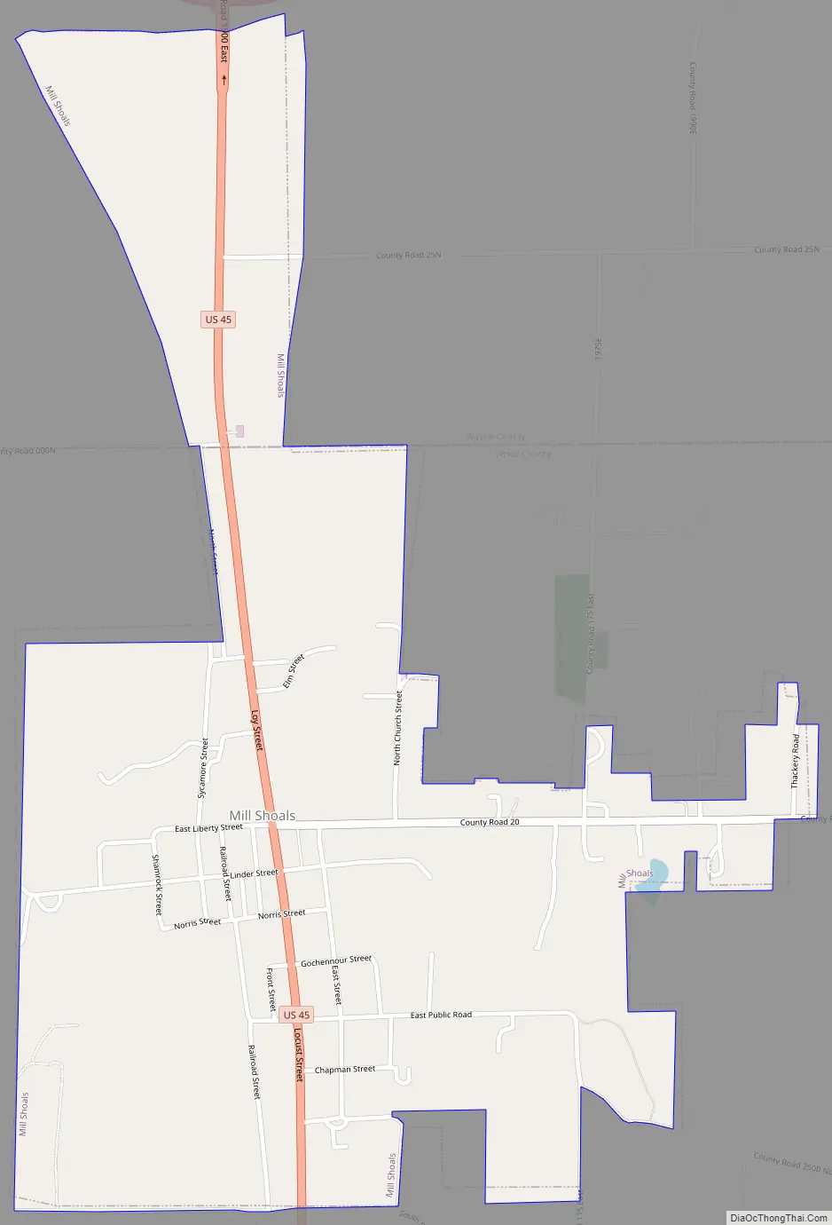
Mill Shoals Road Map
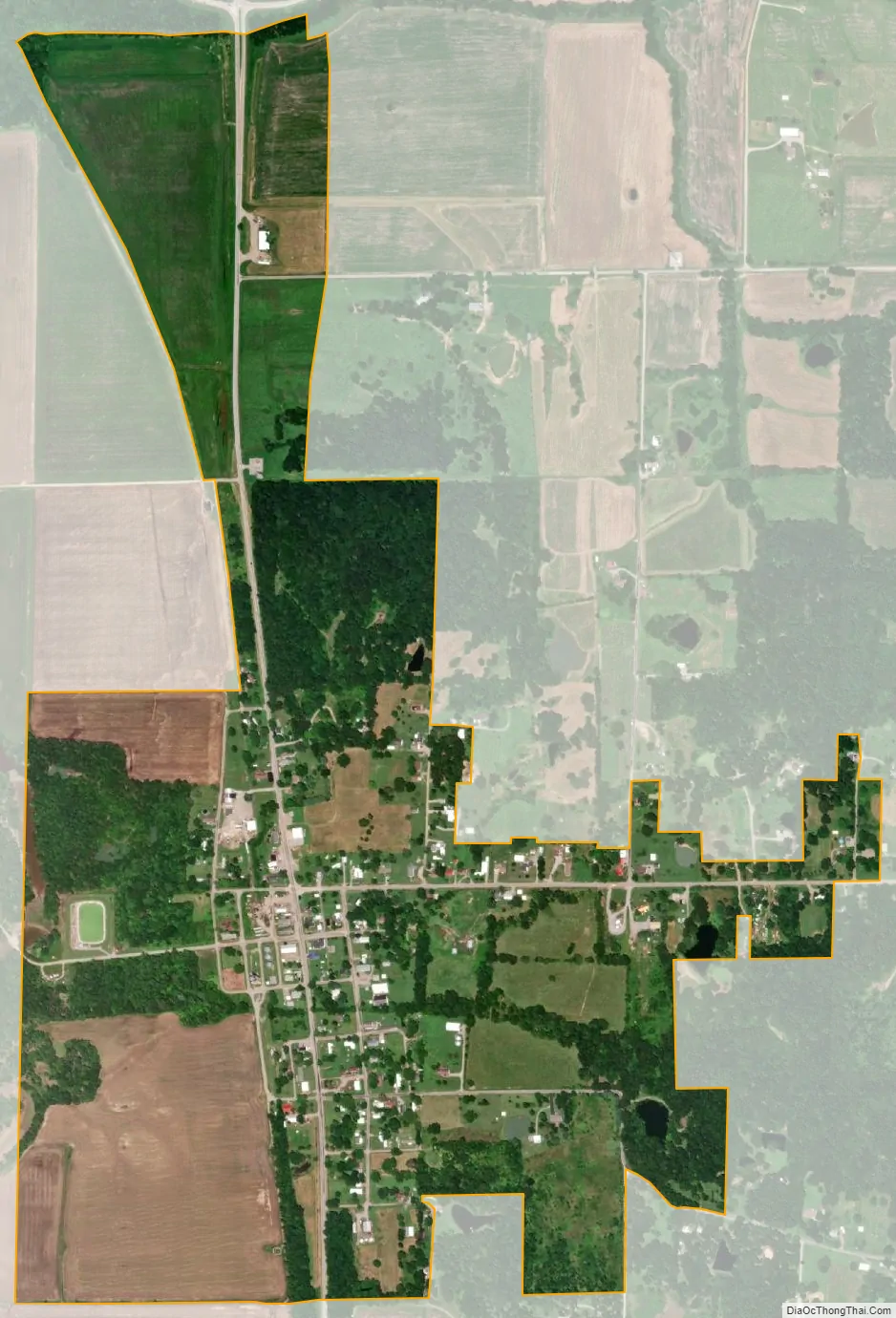
Mill Shoals city Satellite Map
Geography
Mill Shoals is located at 38°14′52″N 88°20′48″W / 38.24778°N 88.34667°W / 38.24778; -88.34667 (38.247904, -88.346608).
According to the 2010 census, Mill Shoals has a total area of 0.79 square miles (2.05 km), all land.
Mill Shoals is located in Illinois, two-thirds of the way from St. Louis, Missouri, to Evansville, Indiana, at the juncture of Interstate 64 and U.S. Highway 45.
Local Geography
See also
Map of Illinois State and its subdivision:- Adams
- Alexander
- Bond
- Boone
- Brown
- Bureau
- Calhoun
- Carroll
- Cass
- Champaign
- Christian
- Clark
- Clay
- Clinton
- Coles
- Cook
- Crawford
- Cumberland
- De Kalb
- De Witt
- Douglas
- Dupage
- Edgar
- Edwards
- Effingham
- Fayette
- Ford
- Franklin
- Fulton
- Gallatin
- Greene
- Grundy
- Hamilton
- Hancock
- Hardin
- Henderson
- Henry
- Iroquois
- Jackson
- Jasper
- Jefferson
- Jersey
- Jo Daviess
- Johnson
- Kane
- Kankakee
- Kendall
- Knox
- La Salle
- Lake
- Lake Michigan
- Lawrence
- Lee
- Livingston
- Logan
- Macon
- Macoupin
- Madison
- Marion
- Marshall
- Mason
- Massac
- McDonough
- McHenry
- McLean
- Menard
- Mercer
- Monroe
- Montgomery
- Morgan
- Moultrie
- Ogle
- Peoria
- Perry
- Piatt
- Pike
- Pope
- Pulaski
- Putnam
- Randolph
- Richland
- Rock Island
- Saint Clair
- Saline
- Sangamon
- Schuyler
- Scott
- Shelby
- Stark
- Stephenson
- Tazewell
- Union
- Vermilion
- Wabash
- Warren
- Washington
- Wayne
- White
- Whiteside
- Will
- Williamson
- Winnebago
- Woodford
- Alabama
- Alaska
- Arizona
- Arkansas
- California
- Colorado
- Connecticut
- Delaware
- District of Columbia
- Florida
- Georgia
- Hawaii
- Idaho
- Illinois
- Indiana
- Iowa
- Kansas
- Kentucky
- Louisiana
- Maine
- Maryland
- Massachusetts
- Michigan
- Minnesota
- Mississippi
- Missouri
- Montana
- Nebraska
- Nevada
- New Hampshire
- New Jersey
- New Mexico
- New York
- North Carolina
- North Dakota
- Ohio
- Oklahoma
- Oregon
- Pennsylvania
- Rhode Island
- South Carolina
- South Dakota
- Tennessee
- Texas
- Utah
- Vermont
- Virginia
- Washington
- West Virginia
- Wisconsin
- Wyoming