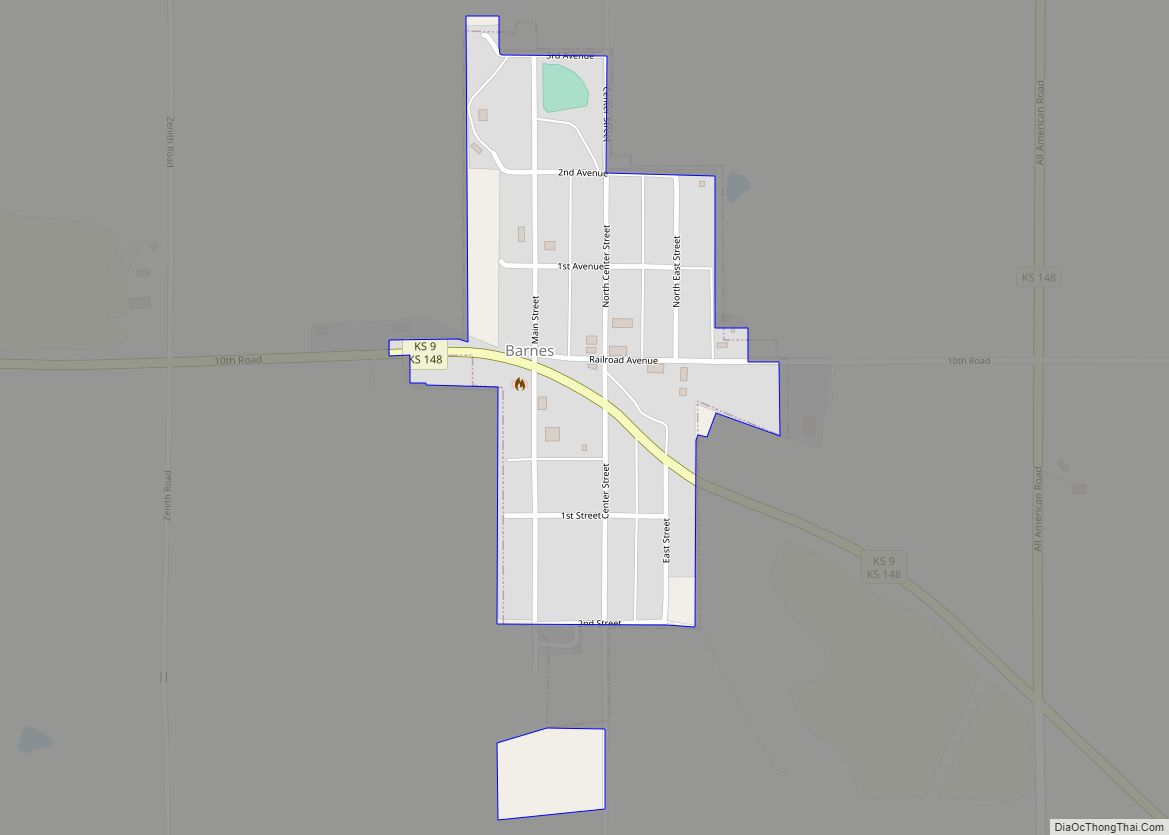
Barnes is a city in Washington County, Kansas, United States. As of the 2020 census, the population of the city was 165.
| Name: | Barnes city |
|---|---|
| LSAD Code: | 25 |
| LSAD Description: | city (suffix) |
| State: | Kansas |
| County: | Washington County |
| Founded: | 1870 (Elm Grove) |
| Incorporated: | 1897 |
| Elevation: | 1,329 ft (405 m) |
| Total Area: | 0.18 sq mi (0.46 km²) |
| Land Area: | 0.17 sq mi (0.44 km²) |
| Water Area: | 0.01 sq mi (0.02 km²) |
| Total Population: | 165 |
| Population Density: | 920/sq mi (360/km²) |
| ZIP code: | 66933 |
| Area code: | 785 |
| FIPS code: | 2004250 |
| Website: | barnesks.net |
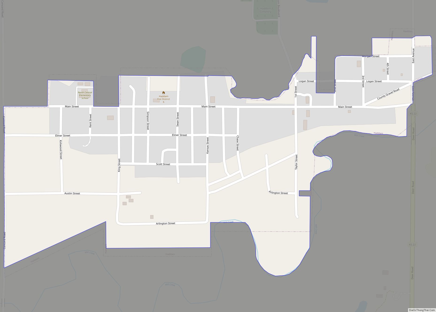
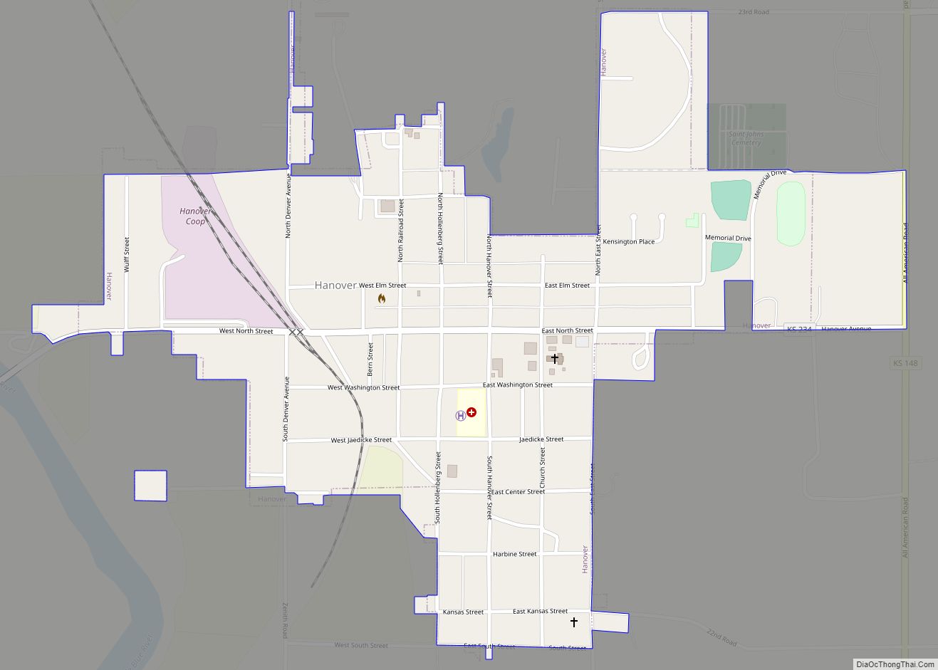
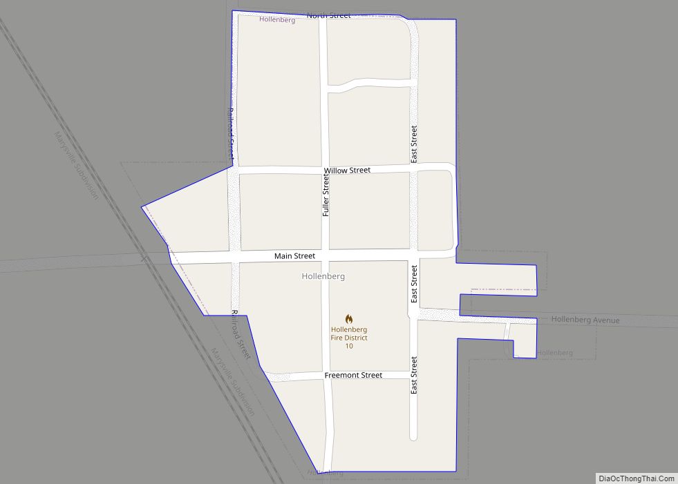
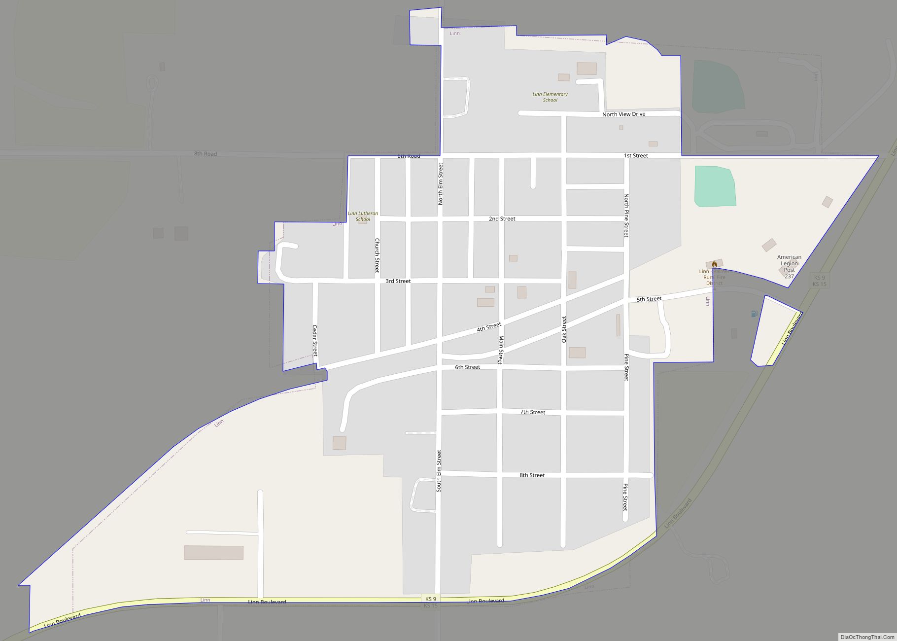
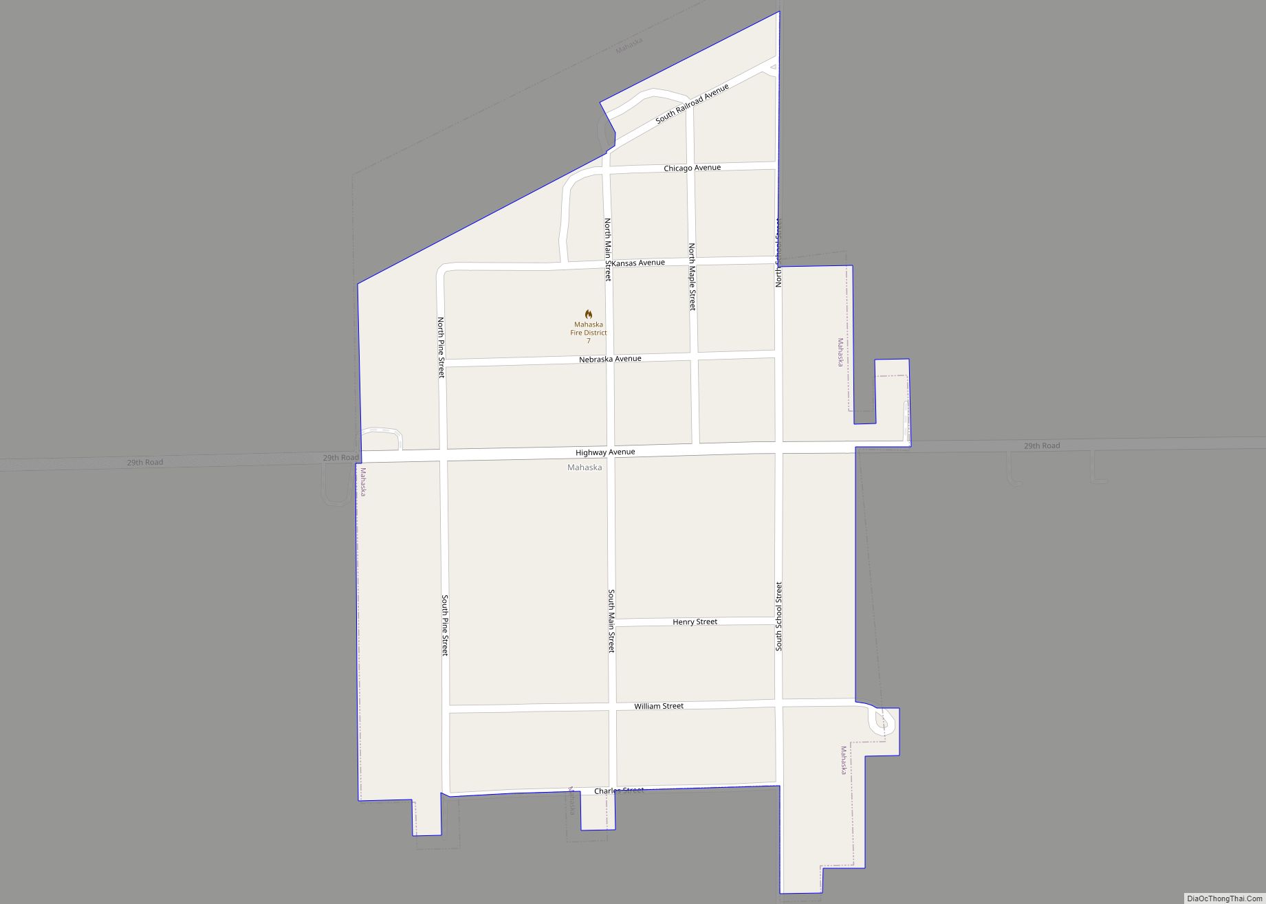
Online Interactive Map
Click on ![]() to view map in "full screen" mode.
to view map in "full screen" mode.
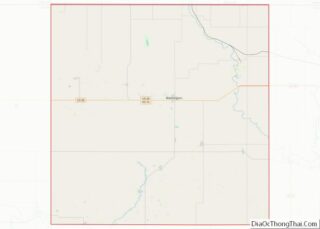
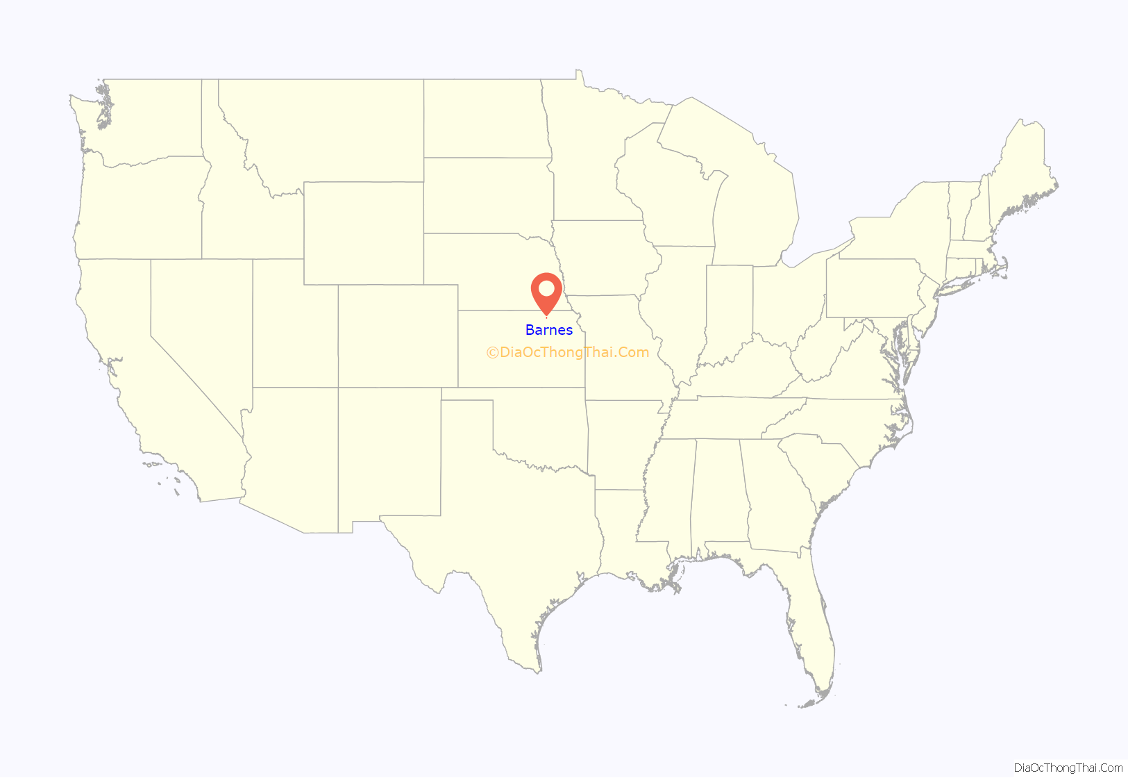
Barnes location map. Where is Barnes city?
History
Barnes was originally called Elm Grove when it was founded in 1870. It was renamed Barnes in 1876 in honor of A. S. Barnes, a stockholder of the Central Branch Union Pacific Railroad
Barnes was a station and shipping point on the Missouri Pacific Railroad.
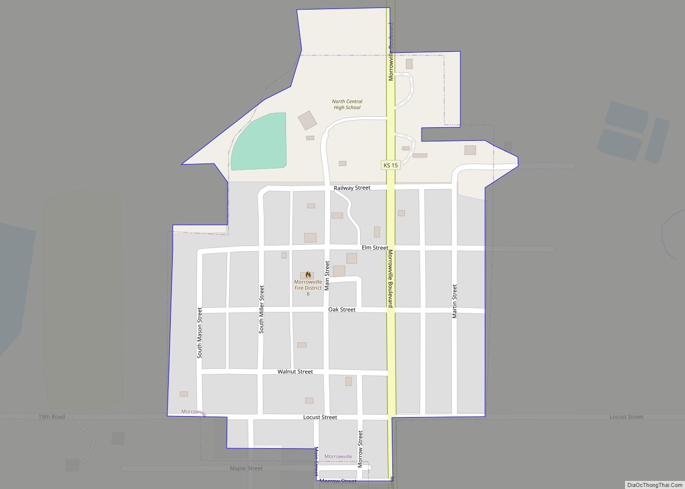
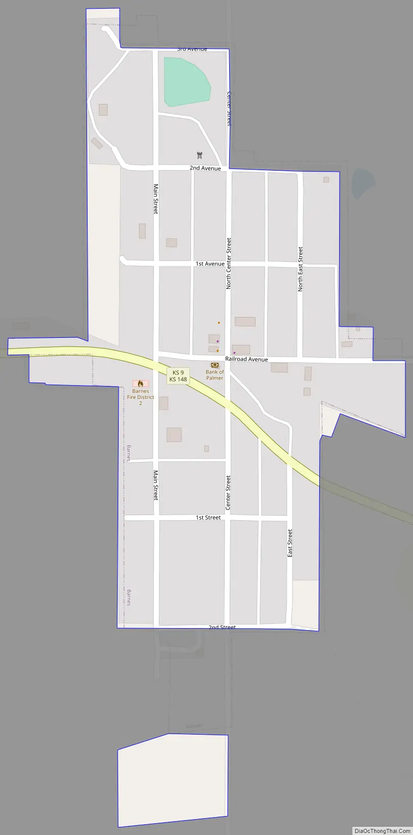
Barnes Road Map
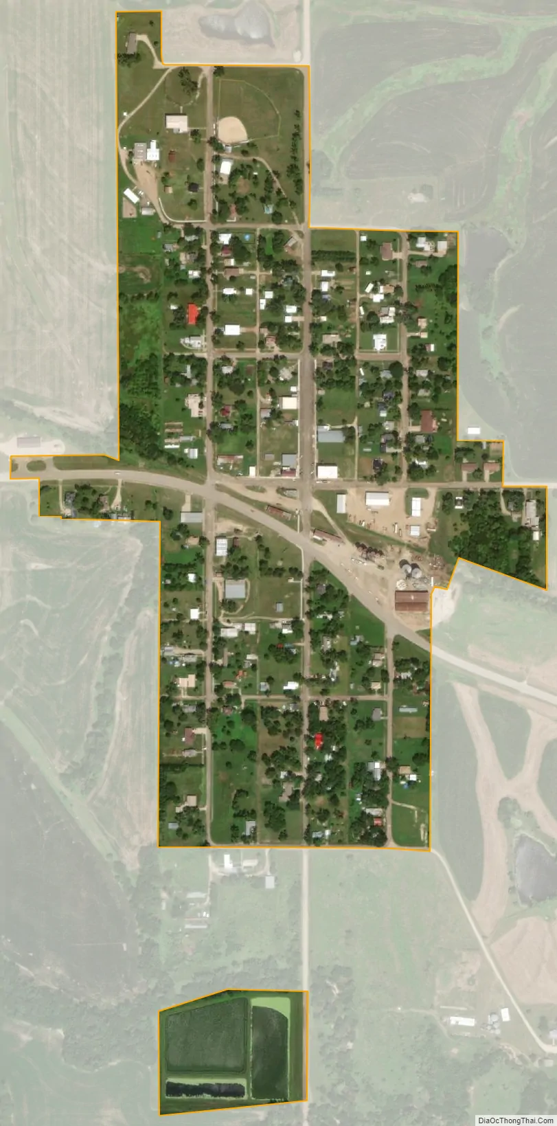
Barnes city Satellite Map
Geography
Barnes is located at 39°42′41″N 96°52′23″W / 39.711525°N 96.873094°W / 39.711525; -96.873094 (39.711525, -96.873094). According to the United States Census Bureau, the city has a total area of 0.18 square miles (0.47 km), of which, 0.17 square miles (0.44 km) is land and 0.01 square miles (0.03 km) is water.
See also
Map of Kansas State and its subdivision:- Allen
- Anderson
- Atchison
- Barber
- Barton
- Bourbon
- Brown
- Butler
- Chase
- Chautauqua
- Cherokee
- Cheyenne
- Clark
- Clay
- Cloud
- Coffey
- Comanche
- Cowley
- Crawford
- Decatur
- Dickinson
- Doniphan
- Douglas
- Edwards
- Elk
- Ellis
- Ellsworth
- Finney
- Ford
- Franklin
- Geary
- Gove
- Graham
- Grant
- Gray
- Greeley
- Greenwood
- Hamilton
- Harper
- Harvey
- Haskell
- Hodgeman
- Jackson
- Jefferson
- Jewell
- Johnson
- Kearny
- Kingman
- Kiowa
- Labette
- Lane
- Leavenworth
- Lincoln
- Linn
- Logan
- Lyon
- Marion
- Marshall
- McPherson
- Meade
- Miami
- Mitchell
- Montgomery
- Morris
- Morton
- Nemaha
- Neosho
- Ness
- Norton
- Osage
- Osborne
- Ottawa
- Pawnee
- Phillips
- Pottawatomie
- Pratt
- Rawlins
- Reno
- Republic
- Rice
- Riley
- Rooks
- Rush
- Russell
- Saline
- Scott
- Sedgwick
- Seward
- Shawnee
- Sheridan
- Sherman
- Smith
- Stafford
- Stanton
- Stevens
- Sumner
- Thomas
- Trego
- Wabaunsee
- Wallace
- Washington
- Wichita
- Wilson
- Woodson
- Wyandotte
- Alabama
- Alaska
- Arizona
- Arkansas
- California
- Colorado
- Connecticut
- Delaware
- District of Columbia
- Florida
- Georgia
- Hawaii
- Idaho
- Illinois
- Indiana
- Iowa
- Kansas
- Kentucky
- Louisiana
- Maine
- Maryland
- Massachusetts
- Michigan
- Minnesota
- Mississippi
- Missouri
- Montana
- Nebraska
- Nevada
- New Hampshire
- New Jersey
- New Mexico
- New York
- North Carolina
- North Dakota
- Ohio
- Oklahoma
- Oregon
- Pennsylvania
- Rhode Island
- South Carolina
- South Dakota
- Tennessee
- Texas
- Utah
- Vermont
- Virginia
- Washington
- West Virginia
- Wisconsin
- Wyoming