Bird City is a city in Cheyenne County, Kansas, United States. As of the 2020 census, the population of the city was 437.
| Name: | Bird City city |
|---|---|
| LSAD Code: | 25 |
| LSAD Description: | city (suffix) |
| State: | Kansas |
| County: | Cheyenne County |
| Founded: | 1885 |
| Incorporated: | 1885 |
| Elevation: | 3,465 ft (1,056 m) |
| Total Area: | 2.27 sq mi (5.87 km²) |
| Land Area: | 2.27 sq mi (5.87 km²) |
| Water Area: | 0.00 sq mi (0.00 km²) |
| Total Population: | 437 |
| Population Density: | 190/sq mi (74/km²) |
| ZIP code: | 67731 |
| Area code: | 785 |
| FIPS code: | 2006825 |
| Website: | birdcity.com |
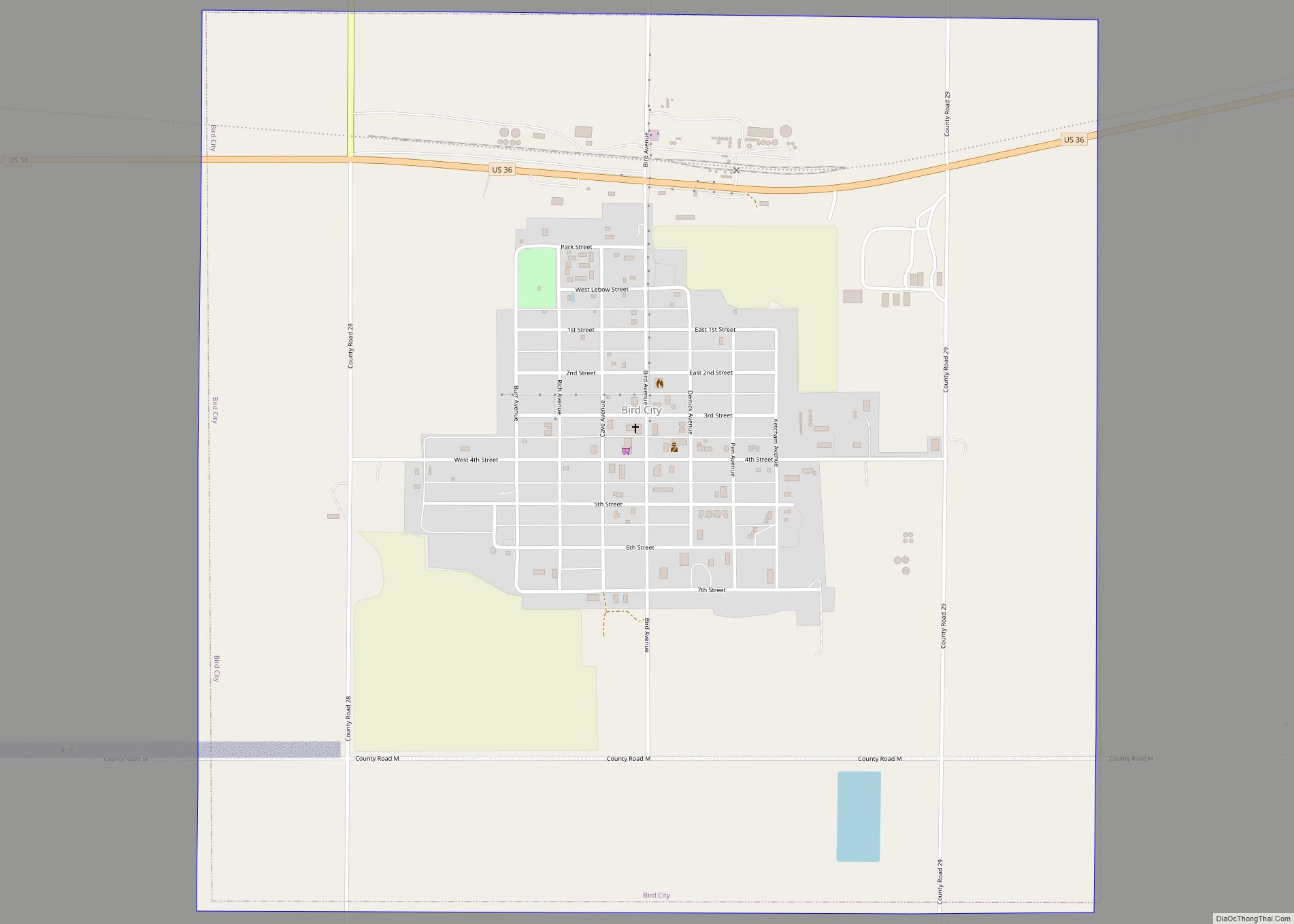
Online Interactive Map
Click on ![]() to view map in "full screen" mode.
to view map in "full screen" mode.
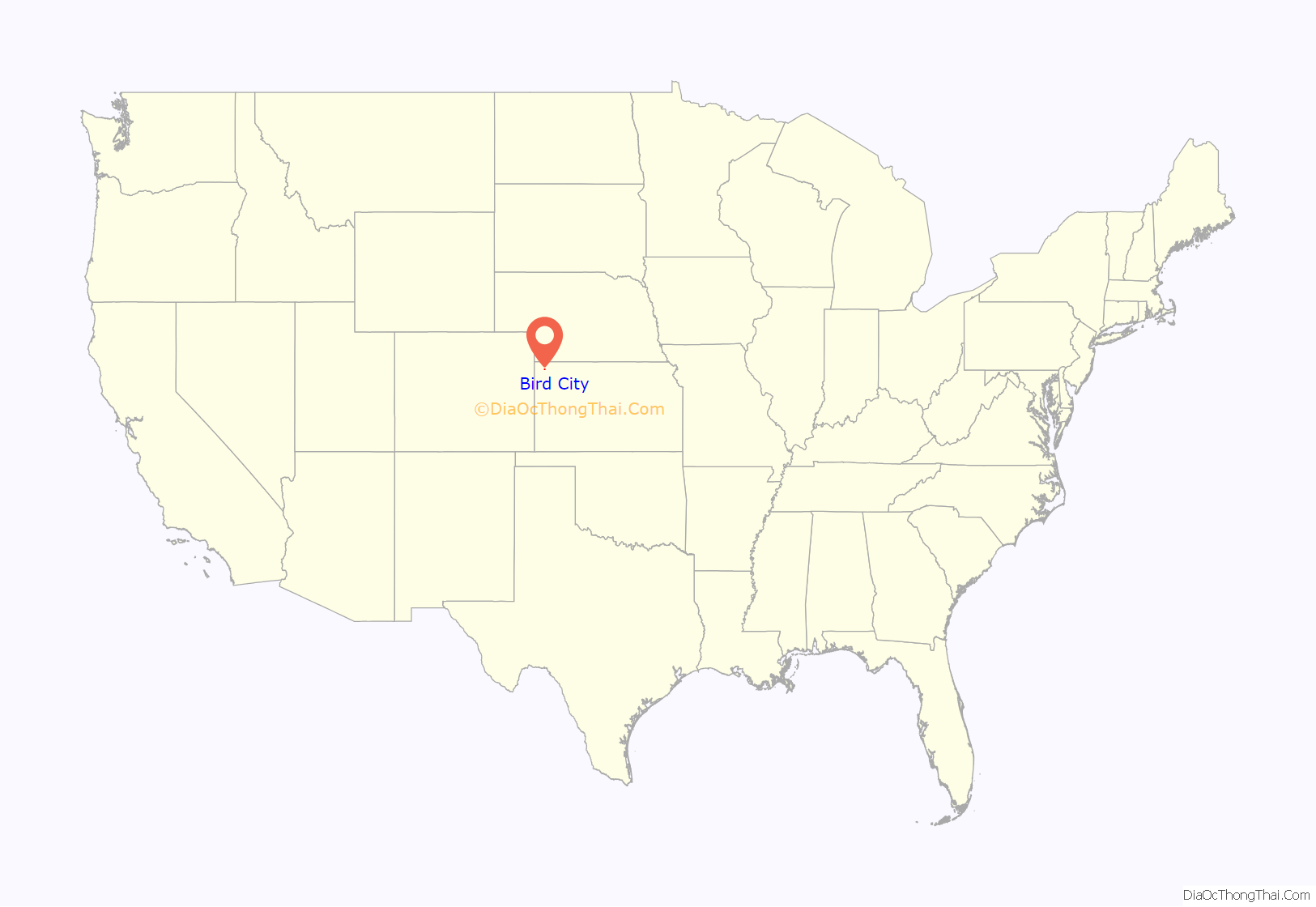
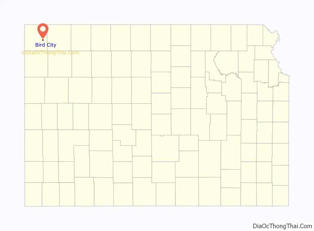
Bird City location map. Where is Bird City city?
History
Bird City was founded in 1885. It was named for Benjamin Bird, a cattleman. The surrounding area was originally used predominately for livestock grazing.
Bird City was a station and shipping point on the Chicago, Burlington and Quincy Railroad.
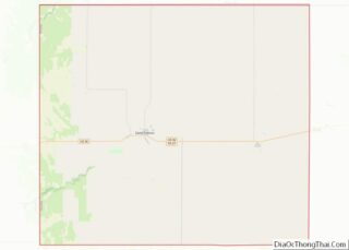
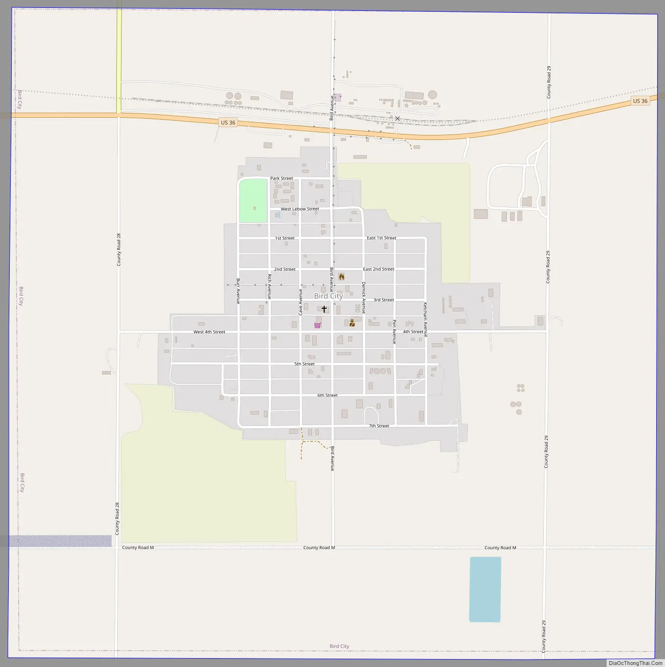
Bird City Road Map
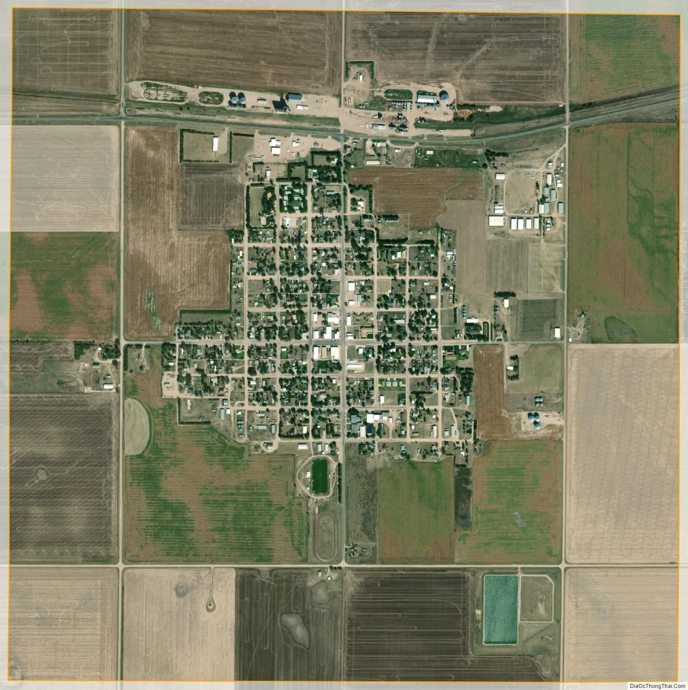
Bird City city Satellite Map
Geography
Bird City is located at 39°45′3″N 101°32′1″W / 39.75083°N 101.53361°W / 39.75083; -101.53361 (39.750950, -101.533480). According to the United States Census Bureau, the city has a total area of 2.23 square miles (5.78 km), all land.
Climate
According to the Köppen Climate Classification system, Bird City has a semi-arid climate, abbreviated “BSk” on climate maps.
See also
Map of Kansas State and its subdivision:- Allen
- Anderson
- Atchison
- Barber
- Barton
- Bourbon
- Brown
- Butler
- Chase
- Chautauqua
- Cherokee
- Cheyenne
- Clark
- Clay
- Cloud
- Coffey
- Comanche
- Cowley
- Crawford
- Decatur
- Dickinson
- Doniphan
- Douglas
- Edwards
- Elk
- Ellis
- Ellsworth
- Finney
- Ford
- Franklin
- Geary
- Gove
- Graham
- Grant
- Gray
- Greeley
- Greenwood
- Hamilton
- Harper
- Harvey
- Haskell
- Hodgeman
- Jackson
- Jefferson
- Jewell
- Johnson
- Kearny
- Kingman
- Kiowa
- Labette
- Lane
- Leavenworth
- Lincoln
- Linn
- Logan
- Lyon
- Marion
- Marshall
- McPherson
- Meade
- Miami
- Mitchell
- Montgomery
- Morris
- Morton
- Nemaha
- Neosho
- Ness
- Norton
- Osage
- Osborne
- Ottawa
- Pawnee
- Phillips
- Pottawatomie
- Pratt
- Rawlins
- Reno
- Republic
- Rice
- Riley
- Rooks
- Rush
- Russell
- Saline
- Scott
- Sedgwick
- Seward
- Shawnee
- Sheridan
- Sherman
- Smith
- Stafford
- Stanton
- Stevens
- Sumner
- Thomas
- Trego
- Wabaunsee
- Wallace
- Washington
- Wichita
- Wilson
- Woodson
- Wyandotte
- Alabama
- Alaska
- Arizona
- Arkansas
- California
- Colorado
- Connecticut
- Delaware
- District of Columbia
- Florida
- Georgia
- Hawaii
- Idaho
- Illinois
- Indiana
- Iowa
- Kansas
- Kentucky
- Louisiana
- Maine
- Maryland
- Massachusetts
- Michigan
- Minnesota
- Mississippi
- Missouri
- Montana
- Nebraska
- Nevada
- New Hampshire
- New Jersey
- New Mexico
- New York
- North Carolina
- North Dakota
- Ohio
- Oklahoma
- Oregon
- Pennsylvania
- Rhode Island
- South Carolina
- South Dakota
- Tennessee
- Texas
- Utah
- Vermont
- Virginia
- Washington
- West Virginia
- Wisconsin
- Wyoming