Bronson is a city in Bourbon County, Kansas, United States. As of the 2020 census, the population of the city was 304.
| Name: | Bronson city |
|---|---|
| LSAD Code: | 25 |
| LSAD Description: | city (suffix) |
| State: | Kansas |
| County: | Bourbon County |
| Founded: | 1880s |
| Incorporated: | 1881 |
| Elevation: | 1,066 ft (325 m) |
| Total Area: | 0.45 sq mi (1.16 km²) |
| Land Area: | 0.45 sq mi (1.16 km²) |
| Water Area: | 0.00 sq mi (0.00 km²) |
| Total Population: | 304 |
| Population Density: | 680/sq mi (260/km²) |
| ZIP code: | 66716 |
| Area code: | 620 |
| FIPS code: | 2008475 |
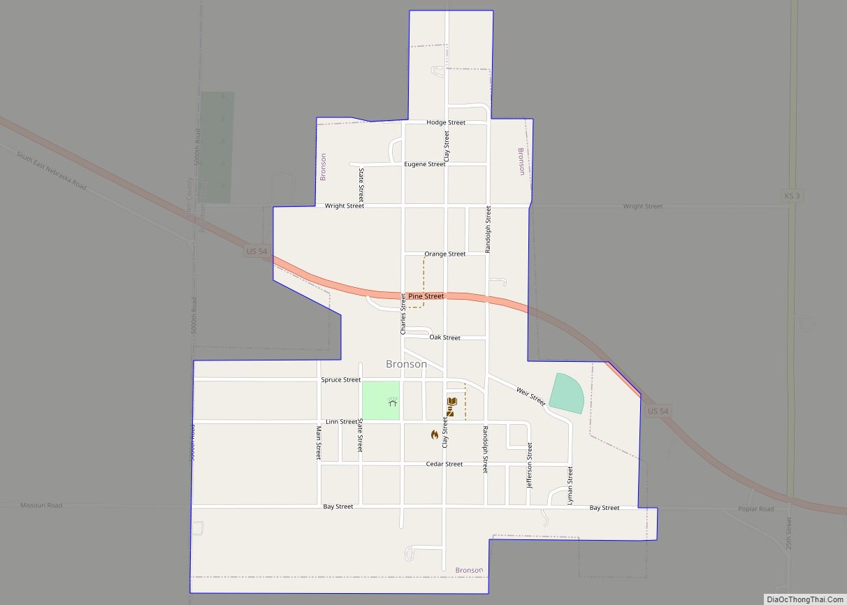
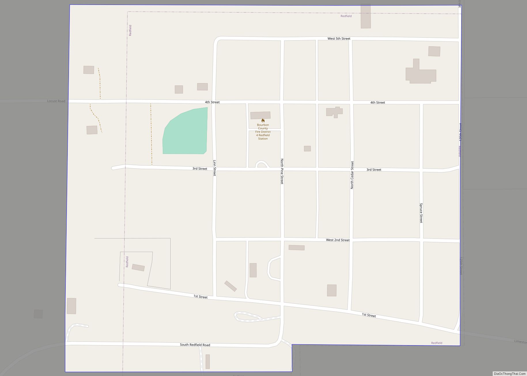
Online Interactive Map
Click on ![]() to view map in "full screen" mode.
to view map in "full screen" mode.
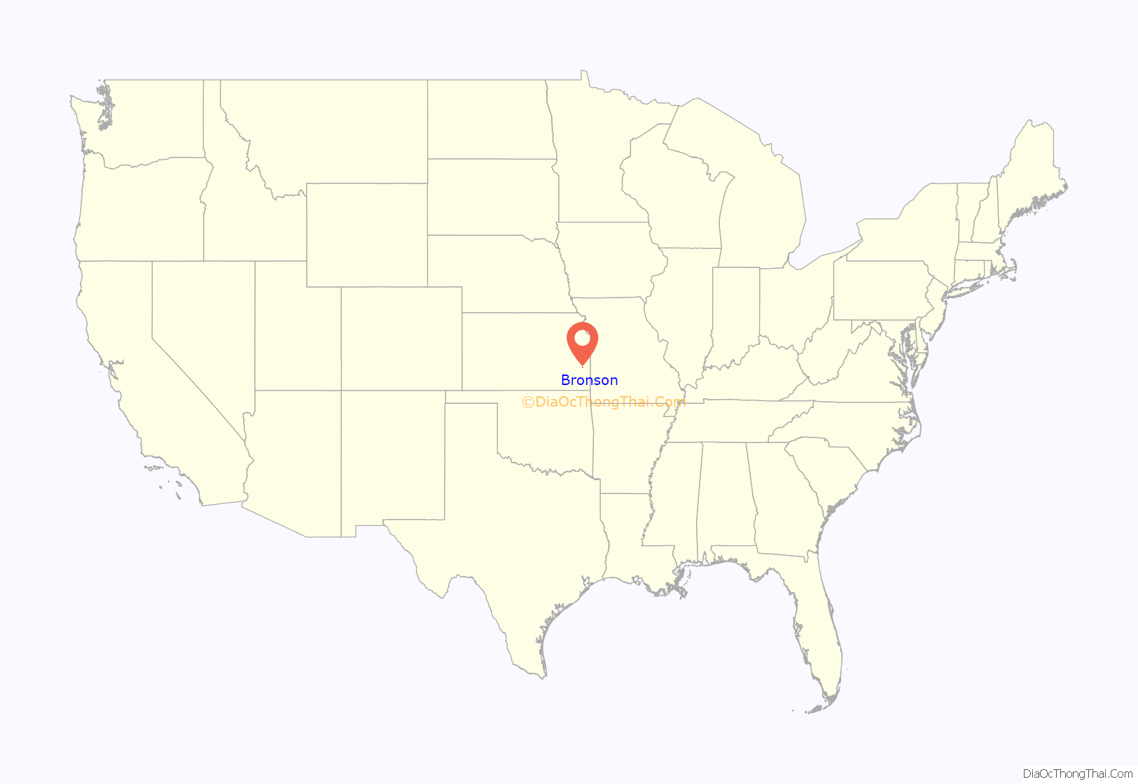
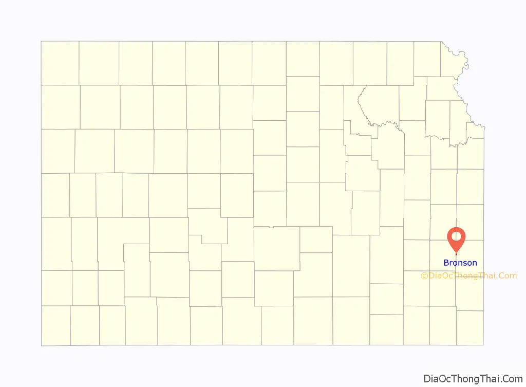
Bronson location map. Where is Bronson city?
History
Bronson was founded in the 1880s. The first store and post office opened in September 1881. The city was formerly named Wilsonville, but it was later renamed after Ira Bronson, a Fort Scott attorney. Bronson was moved to its current location when the Missouri Pacific Railroad bypassed the original town site.
Midway between Fort Scott and Iola on the highway and railroad, it became a prime shipping and supply point for the agricultural region. Growth was slow but steady. From a handful of residents in 1885, by the 1910 Census Bronson had 595 residents. In 1912 it had two banks, an international money-order post office with four rural routes, express and telegraph offices, telephone connections, the semi-weekly Bronson Pilot newspaper, a downtown retail district and public schools.
In 1910 Bronson held the world’s first horseshoe pitch tournament.
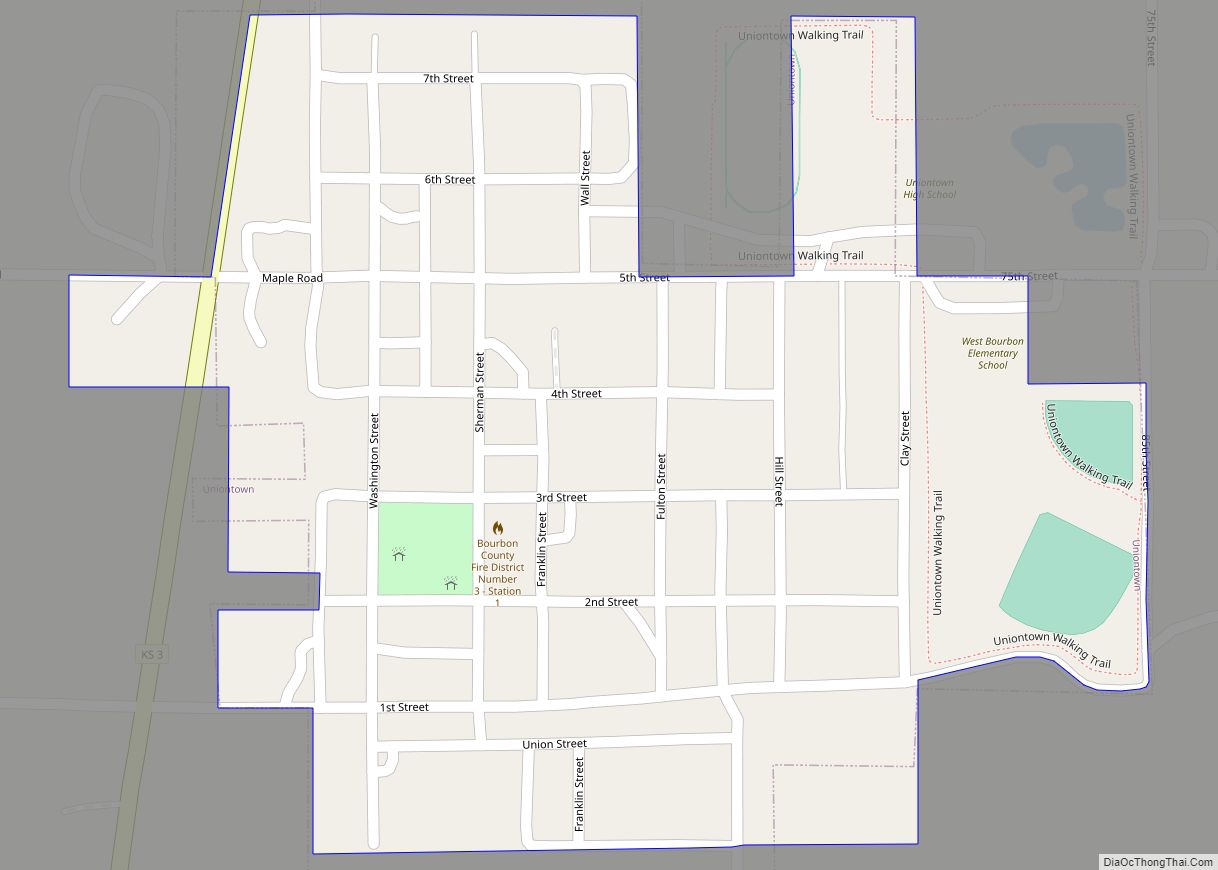
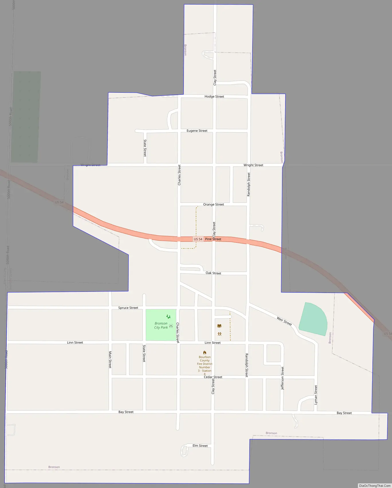
Bronson Road Map
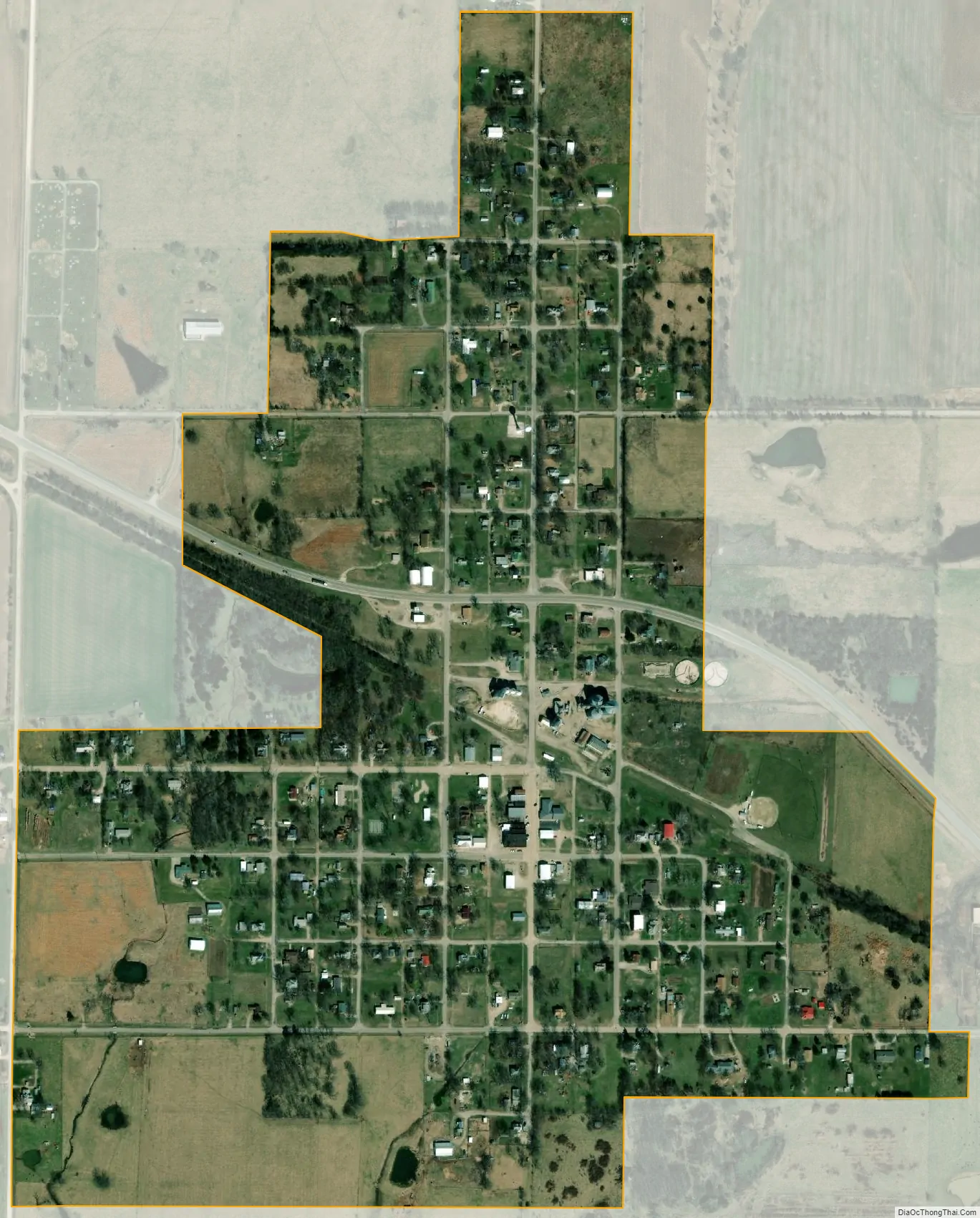
Bronson city Satellite Map
Geography
Bronson is located at 37°53′48″N 95°4′21″W / 37.89667°N 95.07250°W / 37.89667; -95.07250 (37.896562, -95.072520). According to the United States Census Bureau, the city has a total area of 0.43 square miles (1.11 km), all of it land. U.S. Route 54 intersects K-3 on Bronson’s east side.
See also
Map of Kansas State and its subdivision:- Allen
- Anderson
- Atchison
- Barber
- Barton
- Bourbon
- Brown
- Butler
- Chase
- Chautauqua
- Cherokee
- Cheyenne
- Clark
- Clay
- Cloud
- Coffey
- Comanche
- Cowley
- Crawford
- Decatur
- Dickinson
- Doniphan
- Douglas
- Edwards
- Elk
- Ellis
- Ellsworth
- Finney
- Ford
- Franklin
- Geary
- Gove
- Graham
- Grant
- Gray
- Greeley
- Greenwood
- Hamilton
- Harper
- Harvey
- Haskell
- Hodgeman
- Jackson
- Jefferson
- Jewell
- Johnson
- Kearny
- Kingman
- Kiowa
- Labette
- Lane
- Leavenworth
- Lincoln
- Linn
- Logan
- Lyon
- Marion
- Marshall
- McPherson
- Meade
- Miami
- Mitchell
- Montgomery
- Morris
- Morton
- Nemaha
- Neosho
- Ness
- Norton
- Osage
- Osborne
- Ottawa
- Pawnee
- Phillips
- Pottawatomie
- Pratt
- Rawlins
- Reno
- Republic
- Rice
- Riley
- Rooks
- Rush
- Russell
- Saline
- Scott
- Sedgwick
- Seward
- Shawnee
- Sheridan
- Sherman
- Smith
- Stafford
- Stanton
- Stevens
- Sumner
- Thomas
- Trego
- Wabaunsee
- Wallace
- Washington
- Wichita
- Wilson
- Woodson
- Wyandotte
- Alabama
- Alaska
- Arizona
- Arkansas
- California
- Colorado
- Connecticut
- Delaware
- District of Columbia
- Florida
- Georgia
- Hawaii
- Idaho
- Illinois
- Indiana
- Iowa
- Kansas
- Kentucky
- Louisiana
- Maine
- Maryland
- Massachusetts
- Michigan
- Minnesota
- Mississippi
- Missouri
- Montana
- Nebraska
- Nevada
- New Hampshire
- New Jersey
- New Mexico
- New York
- North Carolina
- North Dakota
- Ohio
- Oklahoma
- Oregon
- Pennsylvania
- Rhode Island
- South Carolina
- South Dakota
- Tennessee
- Texas
- Utah
- Vermont
- Virginia
- Washington
- West Virginia
- Wisconsin
- Wyoming