Cunningham is a city in Kingman County, Kansas, United States. As of the 2020 census, the population of the city was 444. The city was named in honor of J.D. Cunningham, a pioneer settler.
| Name: | Cunningham city |
|---|---|
| LSAD Code: | 25 |
| LSAD Description: | city (suffix) |
| State: | Kansas |
| County: | Kingman County |
| Founded: | 1880s |
| Incorporated: | 1908 |
| Elevation: | 1,706 ft (520 m) |
| Total Area: | 0.47 sq mi (1.21 km²) |
| Land Area: | 0.47 sq mi (1.21 km²) |
| Water Area: | 0.00 sq mi (0.00 km²) |
| Total Population: | 444 |
| Population Density: | 940/sq mi (370/km²) |
| ZIP code: | 67035 |
| Area code: | 620 |
| FIPS code: | 2016775 |
| Website: | cunninghamks.net |
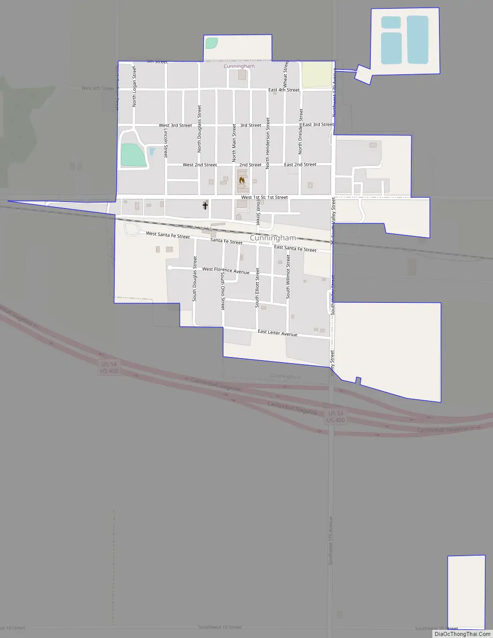
Online Interactive Map
Click on ![]() to view map in "full screen" mode.
to view map in "full screen" mode.
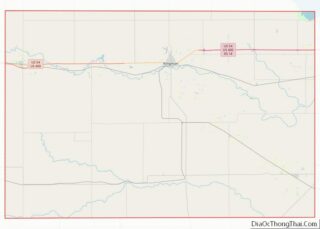
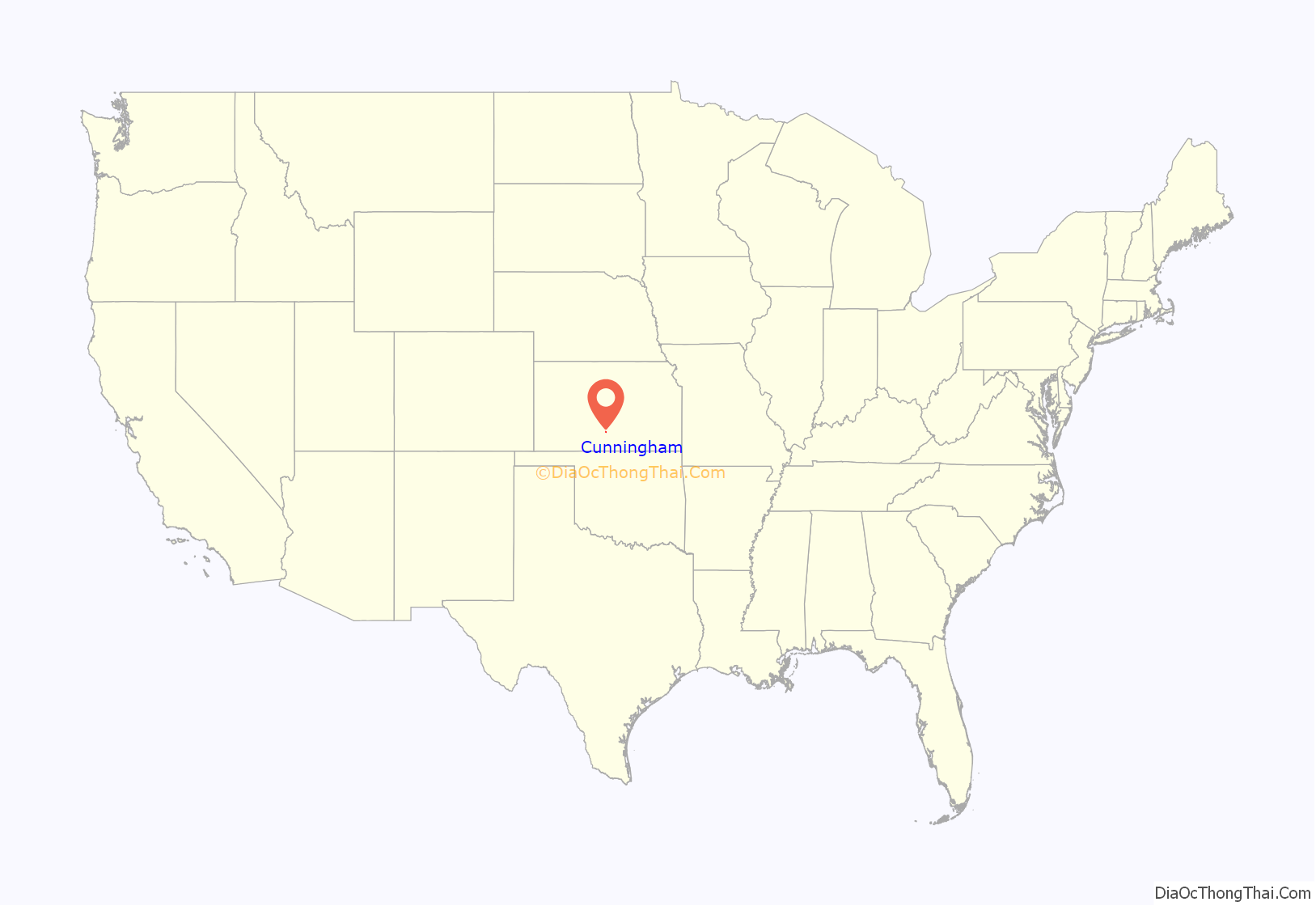
Cunningham location map. Where is Cunningham city?
History
The history of Cunningham starts with the town of Ninnescah, which was located near and named after the Ninnescah River. The Ninnescah Post Office opened August 20, 1885. Later the town of Cunningham was established a few miles to the west, on the north side of the railroad. There was a movement among the locals to move the town of Ninnescah to Cunningham. Some buildings were physically moved from Ninnescah to Cunningham in 1887 and 1888. A tornado destroyed most of Ninnescah on March 24, 1888, which sealed its fate.
Cunningham was incorporated as a city in 1908.
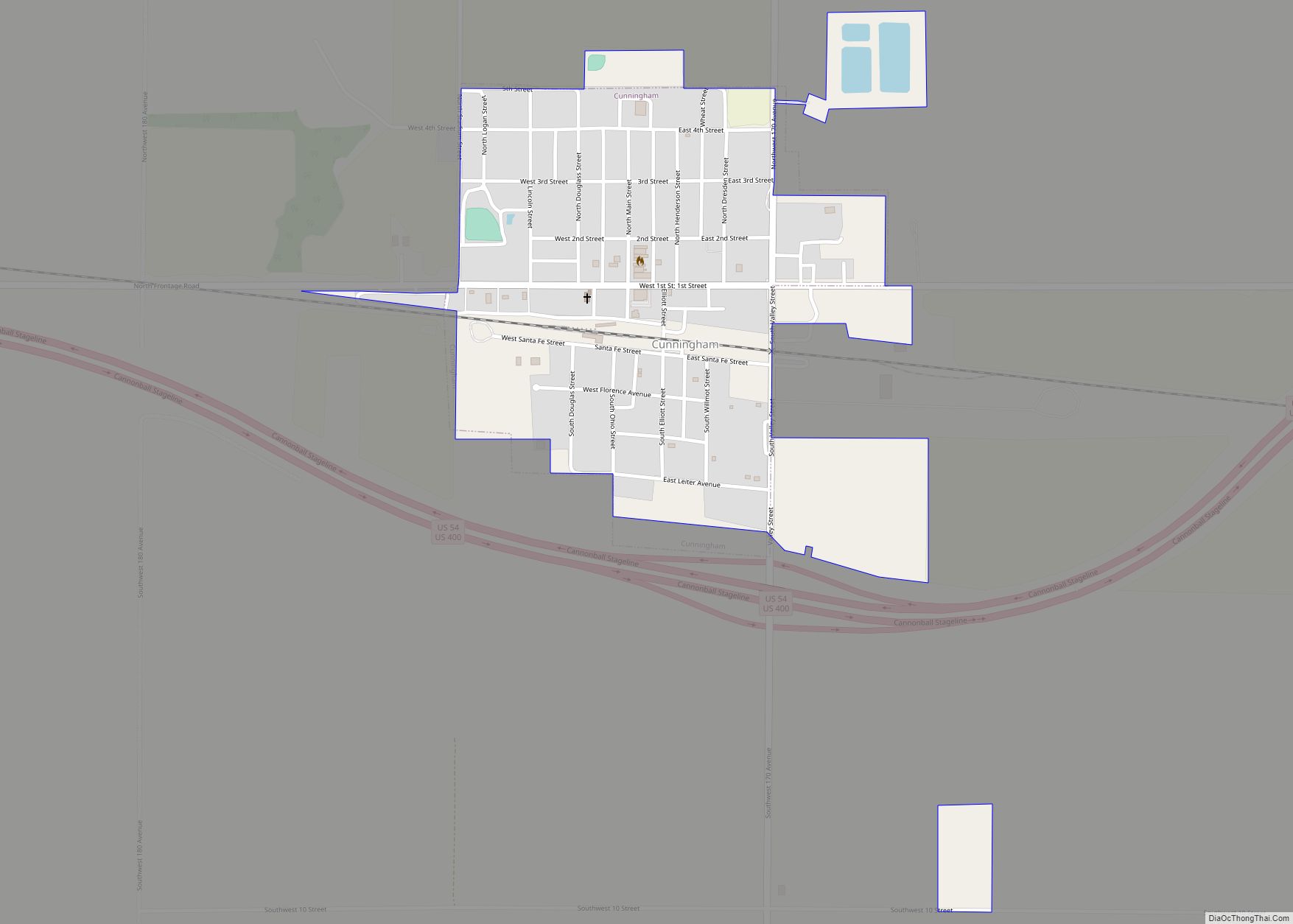
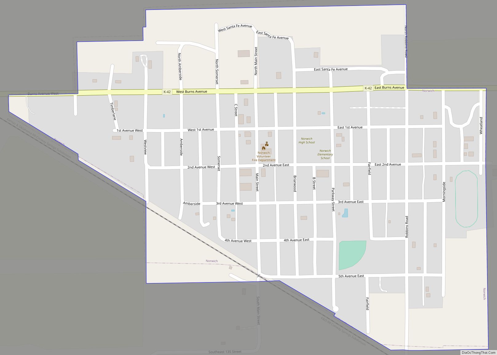
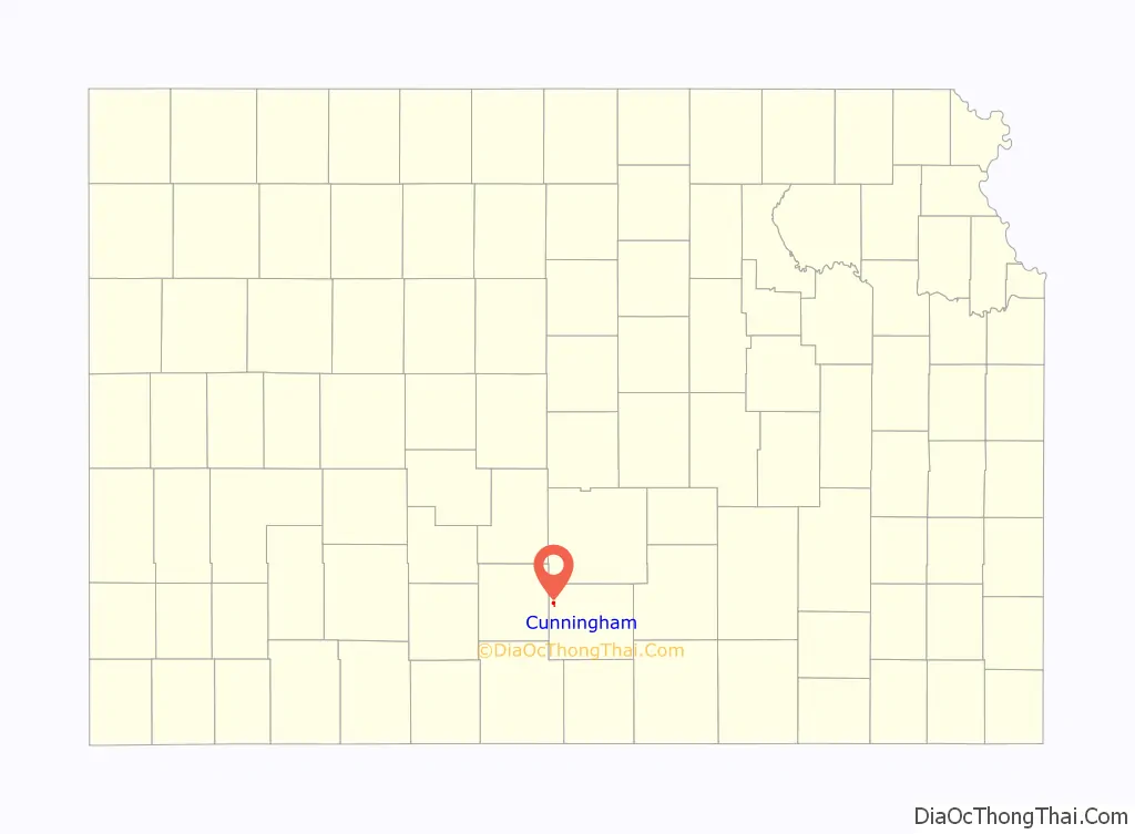
Cunningham Road Map
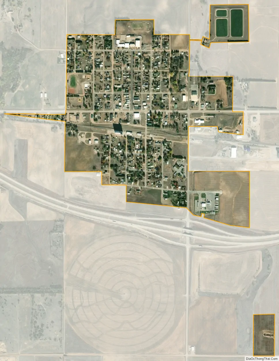
Cunningham city Satellite Map
Geography
Cunningham is located at 37°38′45″N 98°25′56″W / 37.64583°N 98.43222°W / 37.64583; -98.43222 (37.645889, -98.432197). According to the United States Census Bureau, the city has a total area of 0.35 square miles (0.91 km), all of it land.
See also
Map of Kansas State and its subdivision:- Allen
- Anderson
- Atchison
- Barber
- Barton
- Bourbon
- Brown
- Butler
- Chase
- Chautauqua
- Cherokee
- Cheyenne
- Clark
- Clay
- Cloud
- Coffey
- Comanche
- Cowley
- Crawford
- Decatur
- Dickinson
- Doniphan
- Douglas
- Edwards
- Elk
- Ellis
- Ellsworth
- Finney
- Ford
- Franklin
- Geary
- Gove
- Graham
- Grant
- Gray
- Greeley
- Greenwood
- Hamilton
- Harper
- Harvey
- Haskell
- Hodgeman
- Jackson
- Jefferson
- Jewell
- Johnson
- Kearny
- Kingman
- Kiowa
- Labette
- Lane
- Leavenworth
- Lincoln
- Linn
- Logan
- Lyon
- Marion
- Marshall
- McPherson
- Meade
- Miami
- Mitchell
- Montgomery
- Morris
- Morton
- Nemaha
- Neosho
- Ness
- Norton
- Osage
- Osborne
- Ottawa
- Pawnee
- Phillips
- Pottawatomie
- Pratt
- Rawlins
- Reno
- Republic
- Rice
- Riley
- Rooks
- Rush
- Russell
- Saline
- Scott
- Sedgwick
- Seward
- Shawnee
- Sheridan
- Sherman
- Smith
- Stafford
- Stanton
- Stevens
- Sumner
- Thomas
- Trego
- Wabaunsee
- Wallace
- Washington
- Wichita
- Wilson
- Woodson
- Wyandotte
- Alabama
- Alaska
- Arizona
- Arkansas
- California
- Colorado
- Connecticut
- Delaware
- District of Columbia
- Florida
- Georgia
- Hawaii
- Idaho
- Illinois
- Indiana
- Iowa
- Kansas
- Kentucky
- Louisiana
- Maine
- Maryland
- Massachusetts
- Michigan
- Minnesota
- Mississippi
- Missouri
- Montana
- Nebraska
- Nevada
- New Hampshire
- New Jersey
- New Mexico
- New York
- North Carolina
- North Dakota
- Ohio
- Oklahoma
- Oregon
- Pennsylvania
- Rhode Island
- South Carolina
- South Dakota
- Tennessee
- Texas
- Utah
- Vermont
- Virginia
- Washington
- West Virginia
- Wisconsin
- Wyoming