Greenleaf is a city in Washington County, Kansas, United States. As of the 2020 census, the population of the city was 350.
| Name: | Greenleaf city |
|---|---|
| LSAD Code: | 25 |
| LSAD Description: | city (suffix) |
| State: | Kansas |
| County: | Washington County |
| Founded: | 1876 |
| Incorporated: | 1880 |
| Elevation: | 1,417 ft (432 m) |
| Total Area: | 0.45 sq mi (1.18 km²) |
| Land Area: | 0.45 sq mi (1.17 km²) |
| Water Area: | 0.00 sq mi (0.00 km²) |
| Total Population: | 350 |
| Population Density: | 780/sq mi (300/km²) |
| ZIP code: | 66943 |
| Area code: | 785 |
| FIPS code: | 2028625 |
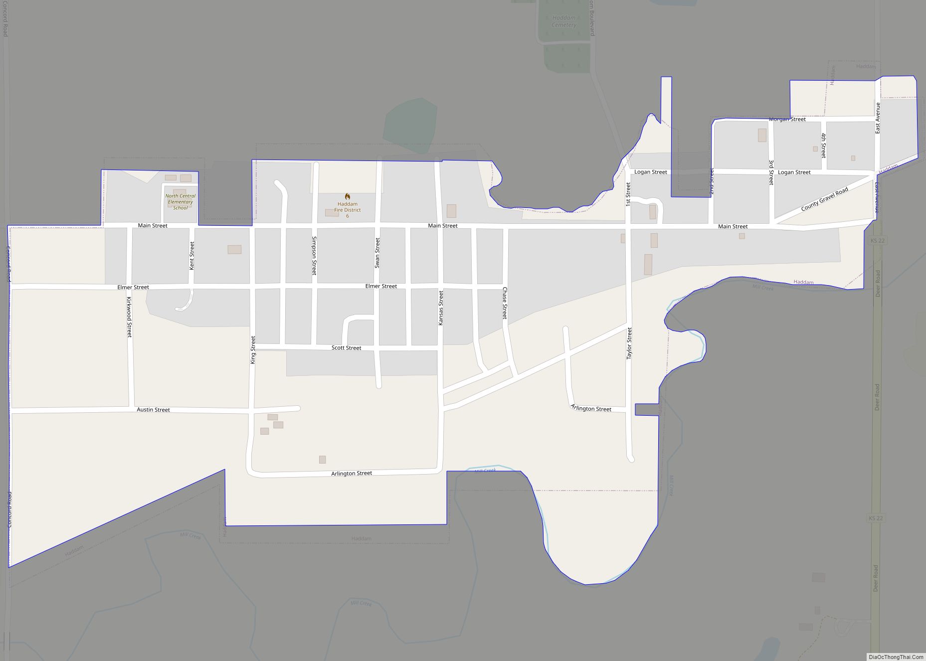
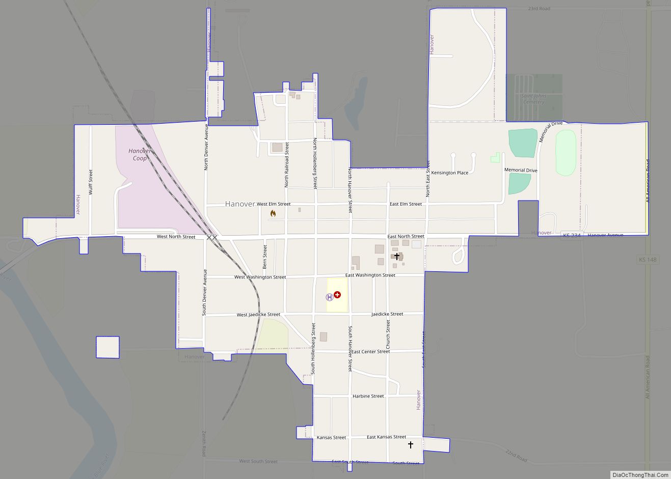
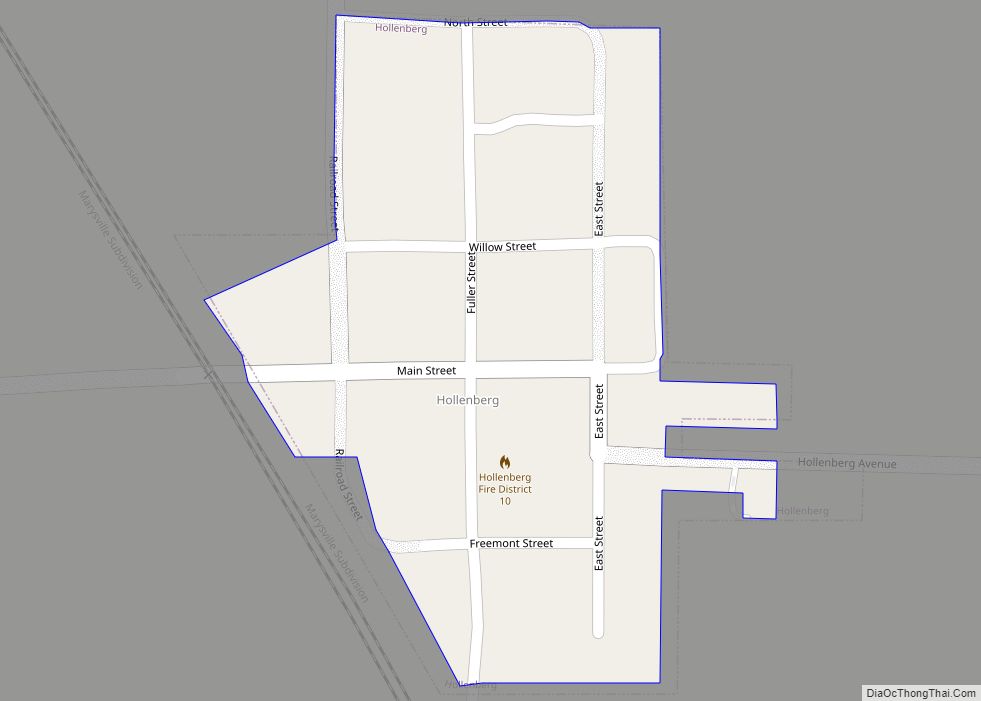
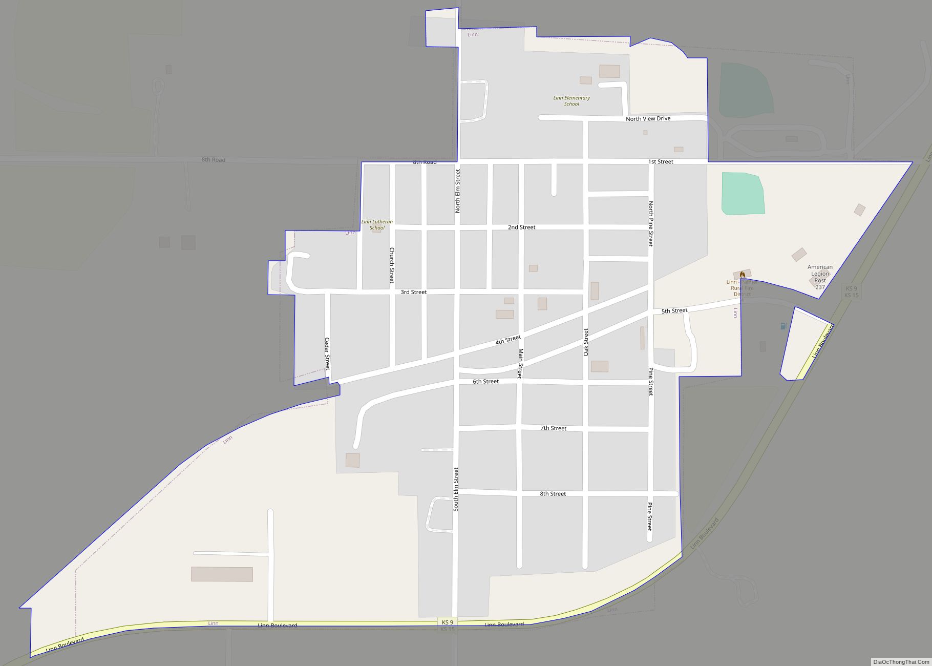
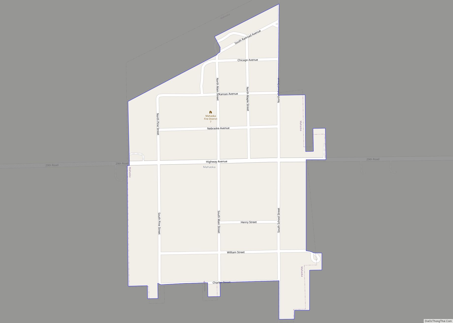
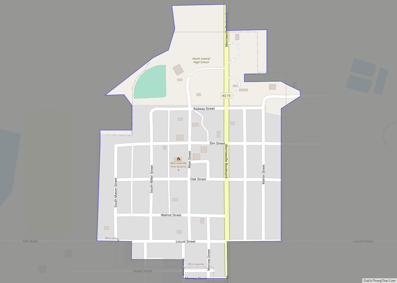
Online Interactive Map
Click on ![]() to view map in "full screen" mode.
to view map in "full screen" mode.
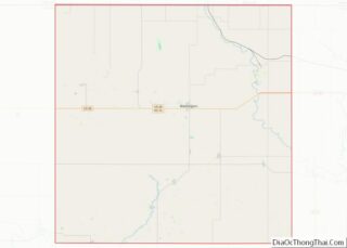
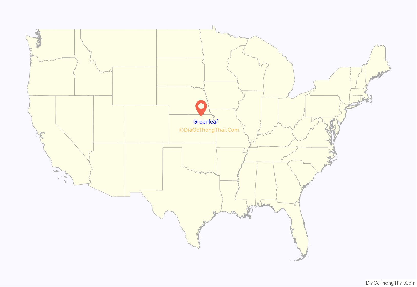
Greenleaf location map. Where is Greenleaf city?
History
Greenleaf was founded in 1876. It was incorporated in 1880. Greenleaf was named for A. W. Greenleaf, the treasurer of the Central Branch Union Pacific Railroad. The post office at Round Grove, Kansas; which had been known at various times as Prospect Hill and Hopper, was moved to Greenleaf when the railroad missed the settlement.
The Greenleaf school was gutted by fire in 1966.
A tornado hit Greenleaf on September 25, 1973. The tornado demolished 42 homes, 26 businesses and took the lives of two children.
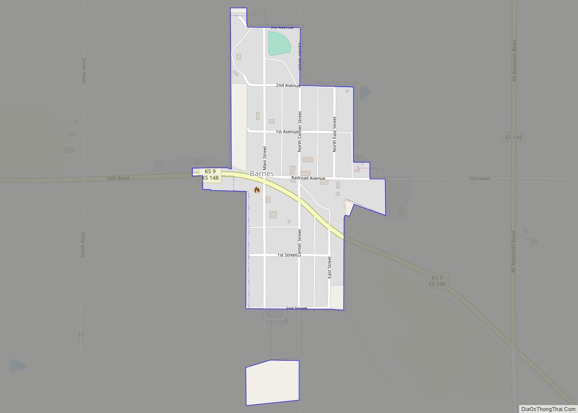
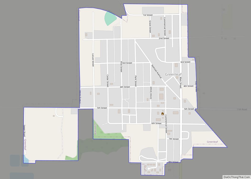
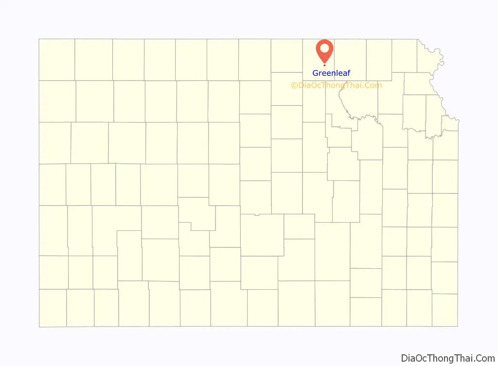
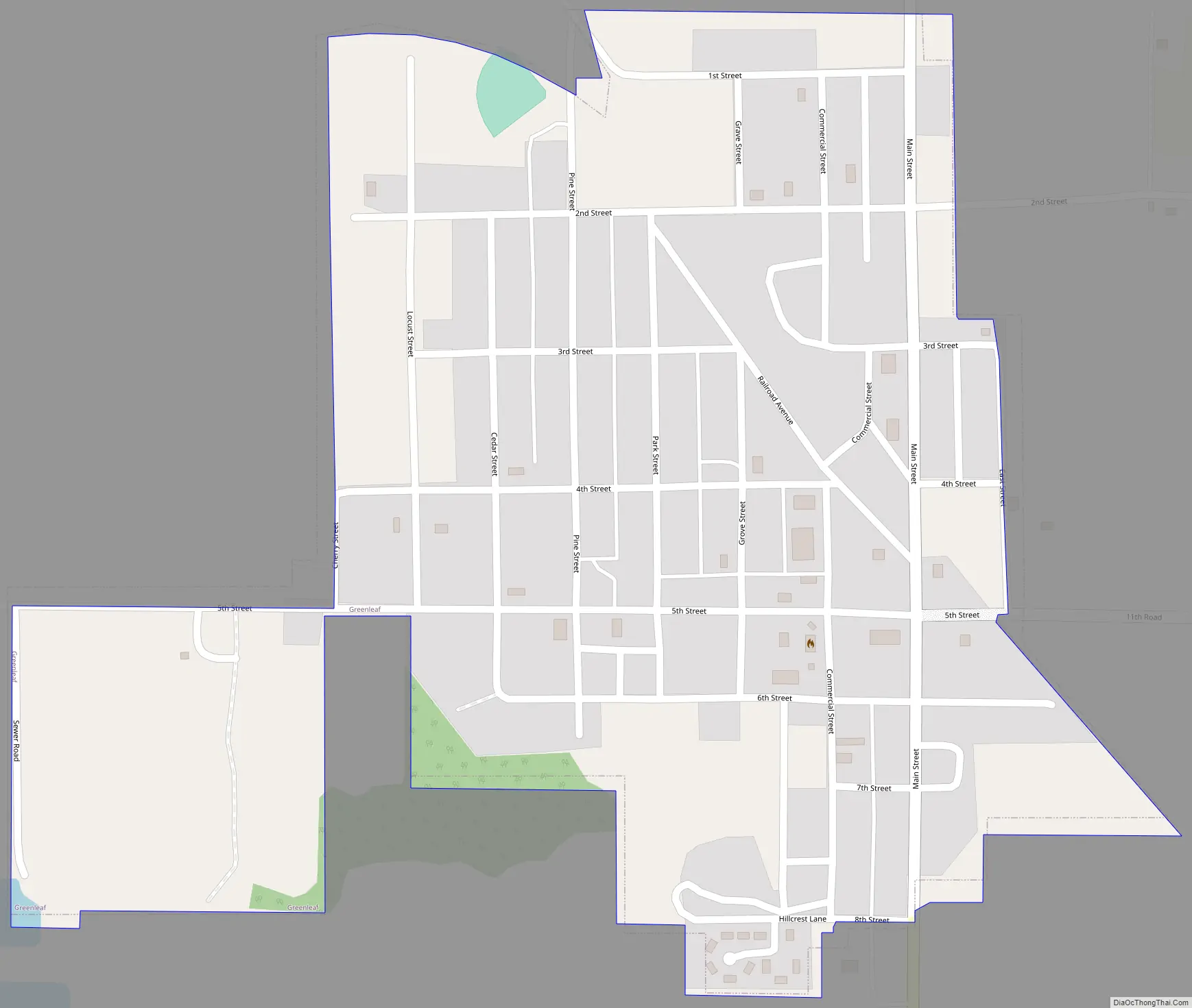
Greenleaf Road Map
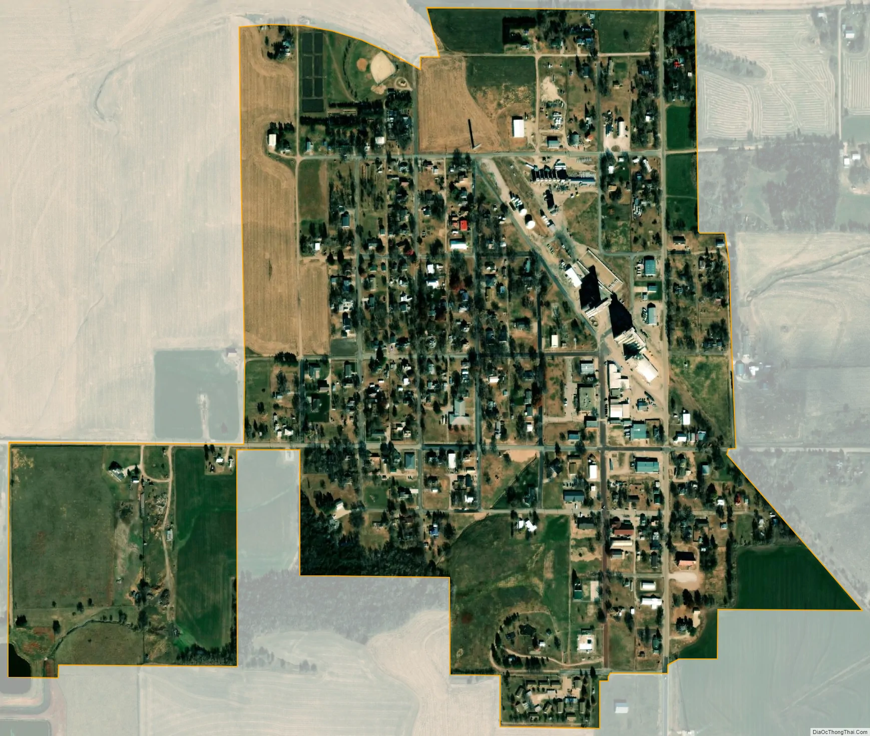
Greenleaf city Satellite Map
Geography
Greenleaf is located at 39°43′42″N 96°58′44″W / 39.72833°N 96.97889°W / 39.72833; -96.97889 (39.728350, -96.978797). According to the United States Census Bureau, the city has a total area of 0.46 square miles (1.19 km), all of it land.
See also
Map of Kansas State and its subdivision:- Allen
- Anderson
- Atchison
- Barber
- Barton
- Bourbon
- Brown
- Butler
- Chase
- Chautauqua
- Cherokee
- Cheyenne
- Clark
- Clay
- Cloud
- Coffey
- Comanche
- Cowley
- Crawford
- Decatur
- Dickinson
- Doniphan
- Douglas
- Edwards
- Elk
- Ellis
- Ellsworth
- Finney
- Ford
- Franklin
- Geary
- Gove
- Graham
- Grant
- Gray
- Greeley
- Greenwood
- Hamilton
- Harper
- Harvey
- Haskell
- Hodgeman
- Jackson
- Jefferson
- Jewell
- Johnson
- Kearny
- Kingman
- Kiowa
- Labette
- Lane
- Leavenworth
- Lincoln
- Linn
- Logan
- Lyon
- Marion
- Marshall
- McPherson
- Meade
- Miami
- Mitchell
- Montgomery
- Morris
- Morton
- Nemaha
- Neosho
- Ness
- Norton
- Osage
- Osborne
- Ottawa
- Pawnee
- Phillips
- Pottawatomie
- Pratt
- Rawlins
- Reno
- Republic
- Rice
- Riley
- Rooks
- Rush
- Russell
- Saline
- Scott
- Sedgwick
- Seward
- Shawnee
- Sheridan
- Sherman
- Smith
- Stafford
- Stanton
- Stevens
- Sumner
- Thomas
- Trego
- Wabaunsee
- Wallace
- Washington
- Wichita
- Wilson
- Woodson
- Wyandotte
- Alabama
- Alaska
- Arizona
- Arkansas
- California
- Colorado
- Connecticut
- Delaware
- District of Columbia
- Florida
- Georgia
- Hawaii
- Idaho
- Illinois
- Indiana
- Iowa
- Kansas
- Kentucky
- Louisiana
- Maine
- Maryland
- Massachusetts
- Michigan
- Minnesota
- Mississippi
- Missouri
- Montana
- Nebraska
- Nevada
- New Hampshire
- New Jersey
- New Mexico
- New York
- North Carolina
- North Dakota
- Ohio
- Oklahoma
- Oregon
- Pennsylvania
- Rhode Island
- South Carolina
- South Dakota
- Tennessee
- Texas
- Utah
- Vermont
- Virginia
- Washington
- West Virginia
- Wisconsin
- Wyoming