Hanover is a city in Washington County, Kansas, United States. As of the 2020 census, the population of the city was 690.
The city is primarily agricultural, and the surrounding countryside is filled with small family farms. Named after Hanover, Germany, the town is a traditional German community with strong German cultural influences. The local area is home to numerous other German communities such as Hollenberg, Hermansburg, Frankfort, and Bremen.
| Name: | Hanover city |
|---|---|
| LSAD Code: | 25 |
| LSAD Description: | city (suffix) |
| State: | Kansas |
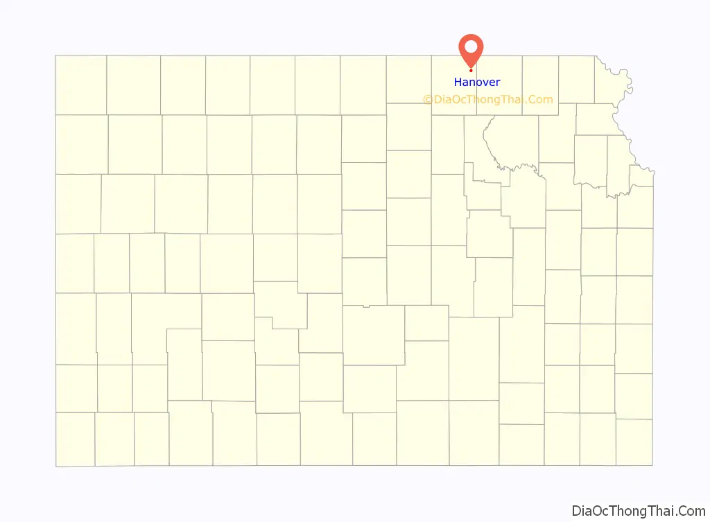
| County: | Washington County |
| Incorporated: | 1872 |
| Elevation: | 1,230 ft (370 m) |
| Total Area: | 0.60 sq mi (1.55 km²) |
| Land Area: | 0.60 sq mi (1.55 km²) |
| Water Area: | 0.00 sq mi (0.00 km²) |
| Total Population: | 690 |
| Population Density: | 1,200/sq mi (450/km²) |
| ZIP code: | 66945 |
| Area code: | 785 |
| FIPS code: | 2029875 |
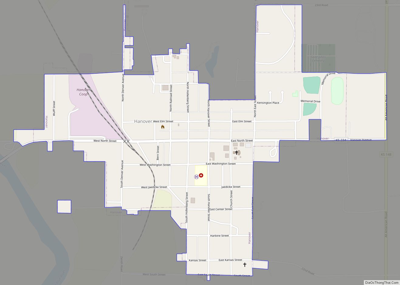
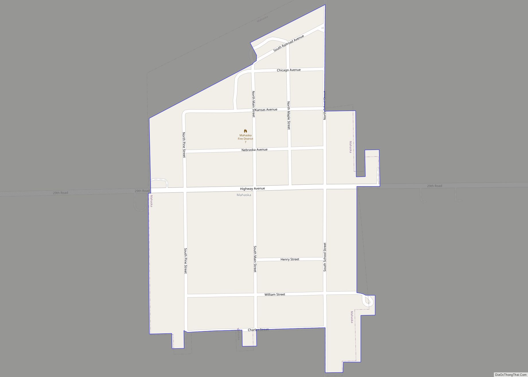
Online Interactive Map
Click on ![]() to view map in "full screen" mode.
to view map in "full screen" mode.
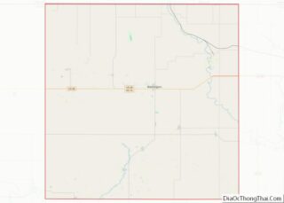
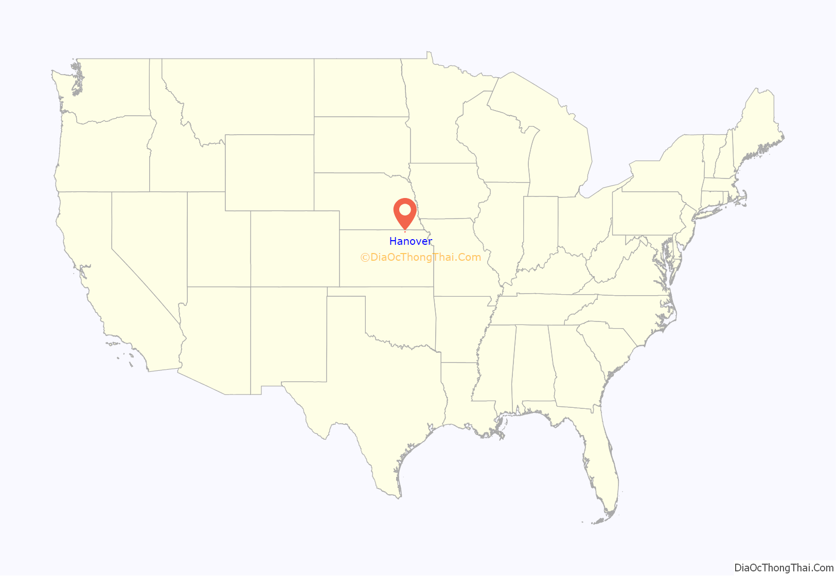
Hanover location map. Where is Hanover city?
History
The “Hollenberg Station” became an important hub along the way for Pony Express travelers and Geret Hollenberg eventually established a grocery and stage depot on his farm in 1858. The Hollenberg farm housed nine boarding rooms, and the success of “Hollenberg Station” as a business attracted more people to the area and many settled alongside the Hollenbergs in the decade leading up to the establishment of Hanover.
Prior to the establishment of the town, in 1868 a school district was established in the area to satisfy the need to educate children of settlers who continued to arrive near the “Hollenberg Station.”
Hanover was laid out in 1869, and incorporated as a city in 1872. It is a German community named after Hanover, Germany. The founders Geret Hollenberg and Sophia Brockmeyer settled their farm originally called “The Cottonwood Ranch” and later the “Hollenberg Station” alongside the Little Blue River, which became a popular stop along the Pony Express. The popularity led to the establishment of Hanover. The Hollenberg Pony Express Station is the only remaining building along the two thousand mile route, and it continues to stand one mile northeast of Hanover. In the 1940s it was registered as a National Historic Landmark.
Hollenberg, who laid out the original plans for the town in 1869, decided to name it Hanover after his hometown in Germany. A contemporary of Hollenberg wrote at the time that Hanover represented “just a little bit of Germany” in Kansas Territory. Located at the junction of two railroads, it was an important shipping point. Access to the railroad was greatly contributed to the economic growth of Hanover, enabling the expansion of the local grain elevator. The success of the grain elevator, because of its close connection with the railroad contributed to the growth and initial success of the town. As the town continued to develop, a German Evangelical Society church, as well as a Catholic church to serve the town’s Czech residents were established in 1870. Additionally, following the movement of some Native groups to Oklahoma from the nearby Ottoe reservation, some land was annexed by the Hanover township, which allowed for further expansion as more white settlers moved into the area.
The local area had a significant Native American population. The Pawnee Indians resided west of Hanover, the Kansa and Kaw tribes lived to the south, and the Otoe Indians were located north. The Otoe Reservation resided north of Hanover on the Kansas-Nebraska border from 1854 to 1883. Their reservation was 160,000 acres large (250 mi). When the Otoe tribal lands were sold in 1883, the land sold for a record-high average of $12.22 per acre. By comparison, most other Native American tribes in the central and northern Great Plains were only paid ten cents per acre. Some of the Otoe Indians were relocated to Red Rock, Oklahoma, while many of the mixed-race Otoe Indians were integrated with the local German settlers. Many people in Hanover today have a fraction of Native American ancestry.
The region was especially attractive to German speakers and settlers, and when the town was established Hollenberg continued to draw to settlers of German, as well as Czech origin. Until World War I many residents of Hanover and the surrounding continued to speak their native languages, and to this day many German traditions remain an important aspect of town identity. German settlers often encountered Native people groups such as the Pawnee, Kansa, and the Kaw. Contact between the German settlers and natives were mainly non-violent and few conflicts were reported between the various groups. In fact, a substantial amount of trade took place between the settlers and the native groups.
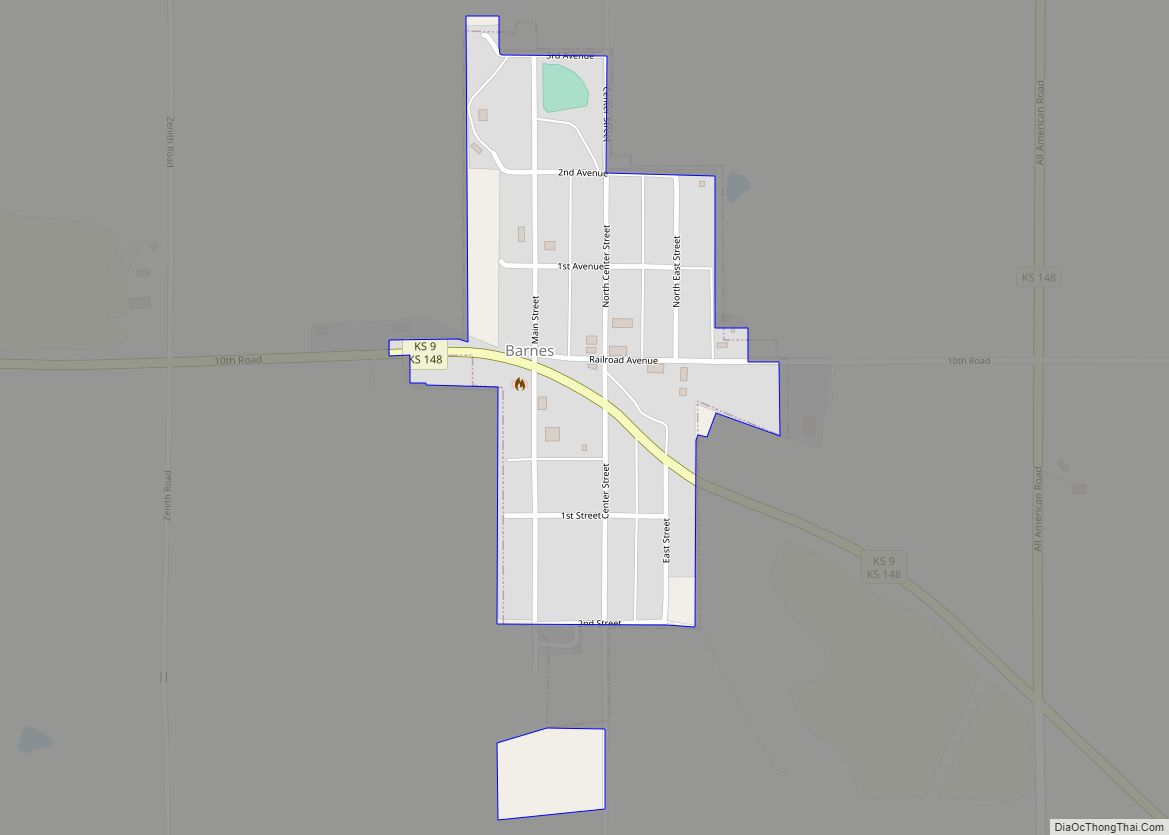
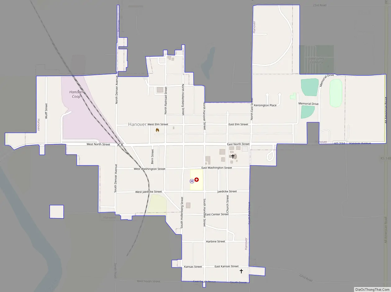
Hanover Road Map
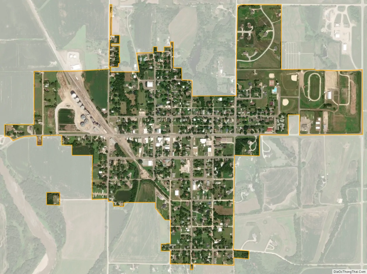
Hanover city Satellite Map
Geography
Hanover is located at 39°53′27″N 96°52′31″W / 39.89083°N 96.87528°W / 39.89083; -96.87528 (39.890836, -96.875348). According to the United States Census Bureau, the city has a total area of 0.54 square miles (1.40 km), all of it land.
See also
Map of Kansas State and its subdivision:- Allen
- Anderson
- Atchison
- Barber
- Barton
- Bourbon
- Brown
- Butler
- Chase
- Chautauqua
- Cherokee
- Cheyenne
- Clark
- Clay
- Cloud
- Coffey
- Comanche
- Cowley
- Crawford
- Decatur
- Dickinson
- Doniphan
- Douglas
- Edwards
- Elk
- Ellis
- Ellsworth
- Finney
- Ford
- Franklin
- Geary
- Gove
- Graham
- Grant
- Gray
- Greeley
- Greenwood
- Hamilton
- Harper
- Harvey
- Haskell
- Hodgeman
- Jackson
- Jefferson
- Jewell
- Johnson
- Kearny
- Kingman
- Kiowa
- Labette
- Lane
- Leavenworth
- Lincoln
- Linn
- Logan
- Lyon
- Marion
- Marshall
- McPherson
- Meade
- Miami
- Mitchell
- Montgomery
- Morris
- Morton
- Nemaha
- Neosho
- Ness
- Norton
- Osage
- Osborne
- Ottawa
- Pawnee
- Phillips
- Pottawatomie
- Pratt
- Rawlins
- Reno
- Republic
- Rice
- Riley
- Rooks
- Rush
- Russell
- Saline
- Scott
- Sedgwick
- Seward
- Shawnee
- Sheridan
- Sherman
- Smith
- Stafford
- Stanton
- Stevens
- Sumner
- Thomas
- Trego
- Wabaunsee
- Wallace
- Washington
- Wichita
- Wilson
- Woodson
- Wyandotte
- Alabama
- Alaska
- Arizona
- Arkansas
- California
- Colorado
- Connecticut
- Delaware
- District of Columbia
- Florida
- Georgia
- Hawaii
- Idaho
- Illinois
- Indiana
- Iowa
- Kansas
- Kentucky
- Louisiana
- Maine
- Maryland
- Massachusetts
- Michigan
- Minnesota
- Mississippi
- Missouri
- Montana
- Nebraska
- Nevada
- New Hampshire
- New Jersey
- New Mexico
- New York
- North Carolina
- North Dakota
- Ohio
- Oklahoma
- Oregon
- Pennsylvania
- Rhode Island
- South Carolina
- South Dakota
- Tennessee
- Texas
- Utah
- Vermont
- Virginia
- Washington
- West Virginia
- Wisconsin
- Wyoming