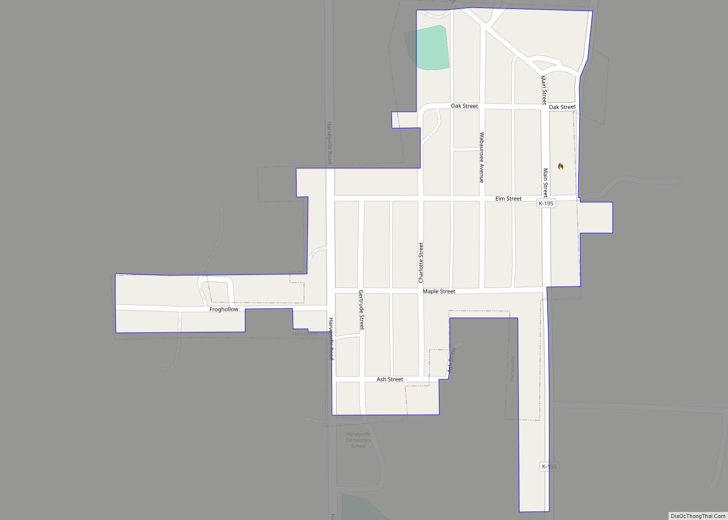
Harveyville is a city in Wabaunsee County, Kansas, United States. As of the 2020 census, the population of the city was 178. It is located 8.5 miles (13.7 km) northwest of the city of Burlingame.
| Name: | Harveyville city |
|---|---|
| LSAD Code: | 25 |
| LSAD Description: | city (suffix) |
| State: | Kansas |
| County: | Wabaunsee County |
| Founded: | 1880 |
| Incorporated: | 1905 |
| Elevation: | 1,139 ft (347 m) |
| Total Area: | 0.13 sq mi (0.33 km²) |
| Land Area: | 0.13 sq mi (0.33 km²) |
| Water Area: | 0.00 sq mi (0.00 km²) |
| Total Population: | 178 |
| Population Density: | 1,400/sq mi (540/km²) |
| ZIP code: | 66431 |
| Area code: | 785 |
| FIPS code: | 2030575 |
Online Interactive Map
Click on ![]() to view map in "full screen" mode.
to view map in "full screen" mode.
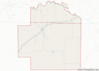
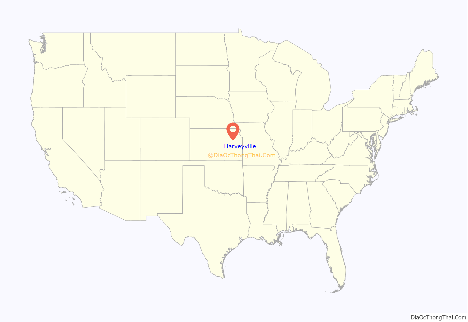
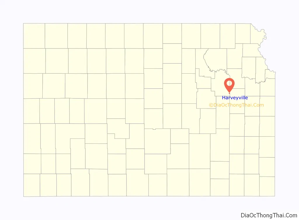
Harveyville location map. Where is Harveyville city?
History
Harveyville was founded in 1880. It was named for Henry Harvey, a missionary to the Shawnee Indians and early settlers at the town site. Harveyville was incorporated as a city in 1905.
2012 Tornado
On February 28, 2012, around 9:02 pm, an EF-2 tornado caused damage to Harveyville. Approximately 40 percent of Harveyville’s buildings had significant damage and one of the town’s two churches was completely destroyed. Preliminary damage assessments in Harveyville listed 28 homes as not livable with 36 sustaining moderate damage, six with minor damage and one commercial building damaged. Twelve people were injured and one death, but no missing people. The National Weather Service determined the tornado was on the ground for 4 minutes and had a maximum width of 150 yards (140 m). It touched down about 1 mile (1.6 km) southwest of Harveyville and ended 4 miles (6.4 km) northeast.
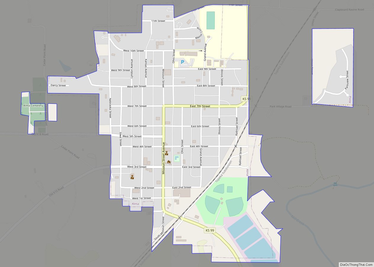
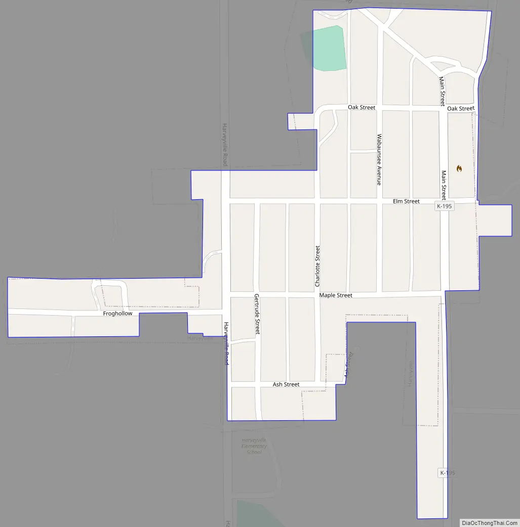
Harveyville Road Map
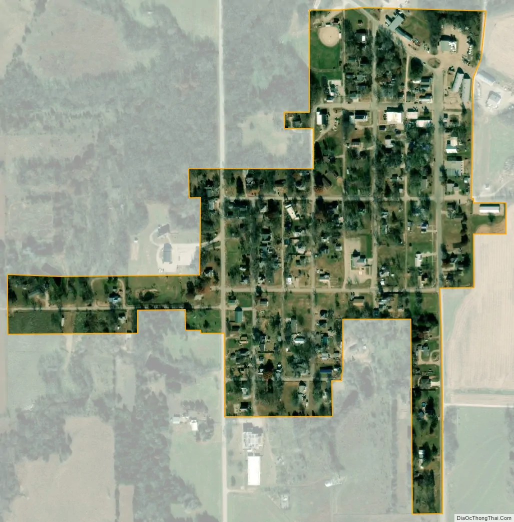
Harveyville city Satellite Map
Geography
Harveyville is located at 38°47′26″N 95°57′44″W / 38.79056°N 95.96222°W / 38.79056; -95.96222 (38.790657, -95.962211), in the Osage Cuestas of the Great Plains. According to the United States Census Bureau, the city has a total area of 0.13 square miles (0.34 km), all of it land.
Climate
The climate in this area is characterized by hot, humid summers and generally mild to cool winters. According to the Köppen Climate Classification system, Harveyville has a humid subtropical climate, abbreviated “Cfa” on climate maps.
See also
Map of Kansas State and its subdivision:- Allen
- Anderson
- Atchison
- Barber
- Barton
- Bourbon
- Brown
- Butler
- Chase
- Chautauqua
- Cherokee
- Cheyenne
- Clark
- Clay
- Cloud
- Coffey
- Comanche
- Cowley
- Crawford
- Decatur
- Dickinson
- Doniphan
- Douglas
- Edwards
- Elk
- Ellis
- Ellsworth
- Finney
- Ford
- Franklin
- Geary
- Gove
- Graham
- Grant
- Gray
- Greeley
- Greenwood
- Hamilton
- Harper
- Harvey
- Haskell
- Hodgeman
- Jackson
- Jefferson
- Jewell
- Johnson
- Kearny
- Kingman
- Kiowa
- Labette
- Lane
- Leavenworth
- Lincoln
- Linn
- Logan
- Lyon
- Marion
- Marshall
- McPherson
- Meade
- Miami
- Mitchell
- Montgomery
- Morris
- Morton
- Nemaha
- Neosho
- Ness
- Norton
- Osage
- Osborne
- Ottawa
- Pawnee
- Phillips
- Pottawatomie
- Pratt
- Rawlins
- Reno
- Republic
- Rice
- Riley
- Rooks
- Rush
- Russell
- Saline
- Scott
- Sedgwick
- Seward
- Shawnee
- Sheridan
- Sherman
- Smith
- Stafford
- Stanton
- Stevens
- Sumner
- Thomas
- Trego
- Wabaunsee
- Wallace
- Washington
- Wichita
- Wilson
- Woodson
- Wyandotte
- Alabama
- Alaska
- Arizona
- Arkansas
- California
- Colorado
- Connecticut
- Delaware
- District of Columbia
- Florida
- Georgia
- Hawaii
- Idaho
- Illinois
- Indiana
- Iowa
- Kansas
- Kentucky
- Louisiana
- Maine
- Maryland
- Massachusetts
- Michigan
- Minnesota
- Mississippi
- Missouri
- Montana
- Nebraska
- Nevada
- New Hampshire
- New Jersey
- New Mexico
- New York
- North Carolina
- North Dakota
- Ohio
- Oklahoma
- Oregon
- Pennsylvania
- Rhode Island
- South Carolina
- South Dakota
- Tennessee
- Texas
- Utah
- Vermont
- Virginia
- Washington
- West Virginia
- Wisconsin
- Wyoming