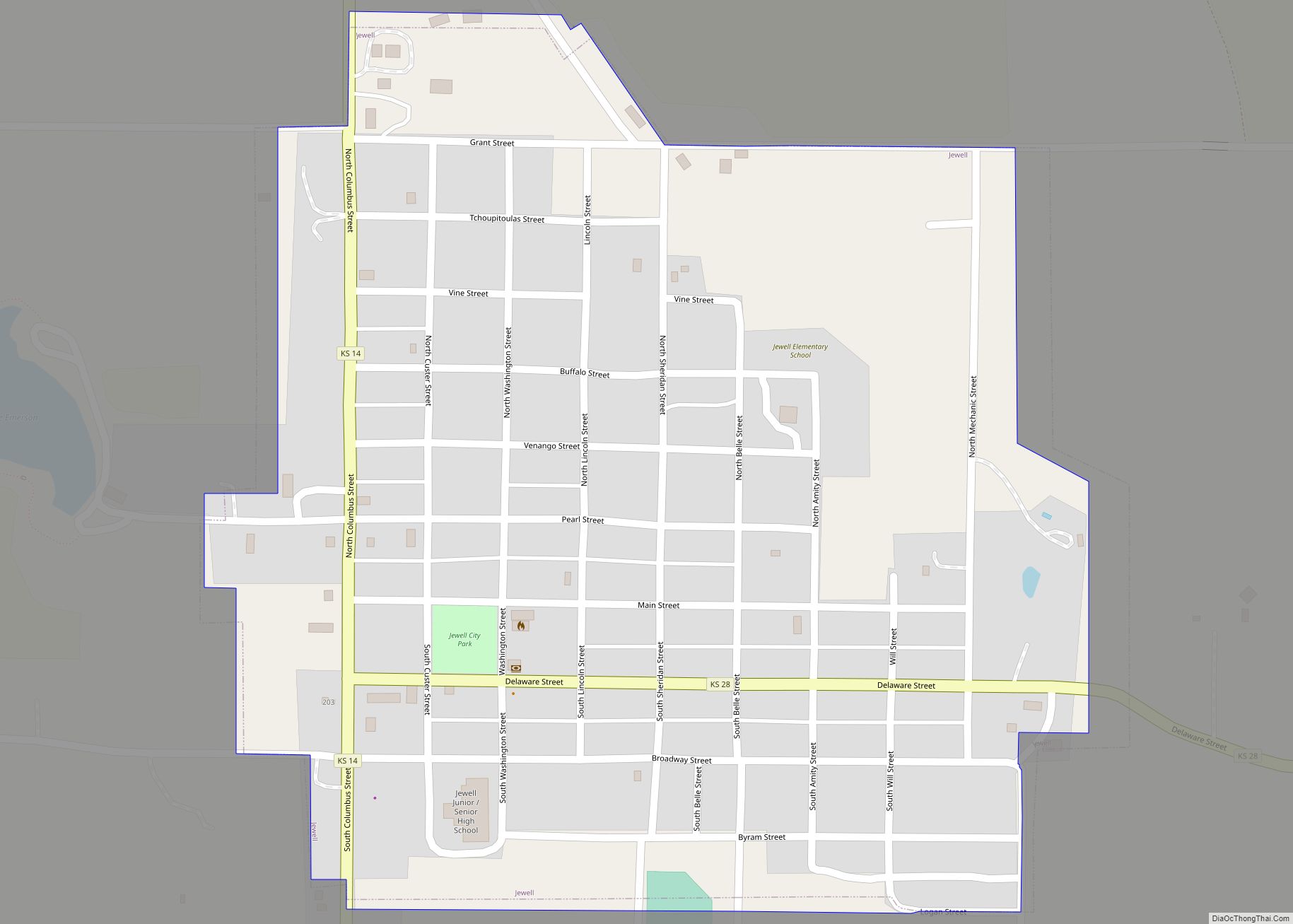
Jewell is a city in Jewell County, Kansas, United States. As of the 2020 census, the population of the city was 370.
| Name: | Jewell city |
|---|---|
| LSAD Code: | 25 |
| LSAD Description: | city (suffix) |
| State: | Kansas |
| County: | Jewell County |
| Founded: | 1870 |
| Incorporated: | 1880 |
| Elevation: | 1,555 ft (474 m) |
| Total Area: | 0.41 sq mi (1.06 km²) |
| Land Area: | 0.41 sq mi (1.06 km²) |
| Water Area: | 0.00 sq mi (0.00 km²) |
| Total Population: | 370 |
| Population Density: | 900/sq mi (350/km²) |
| ZIP code: | 66949 |
| Area code: | 785 |
| FIPS code: | 2035475 |
Online Interactive Map
Click on ![]() to view map in "full screen" mode.
to view map in "full screen" mode.
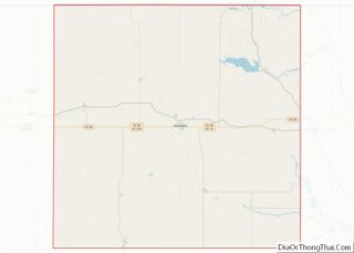
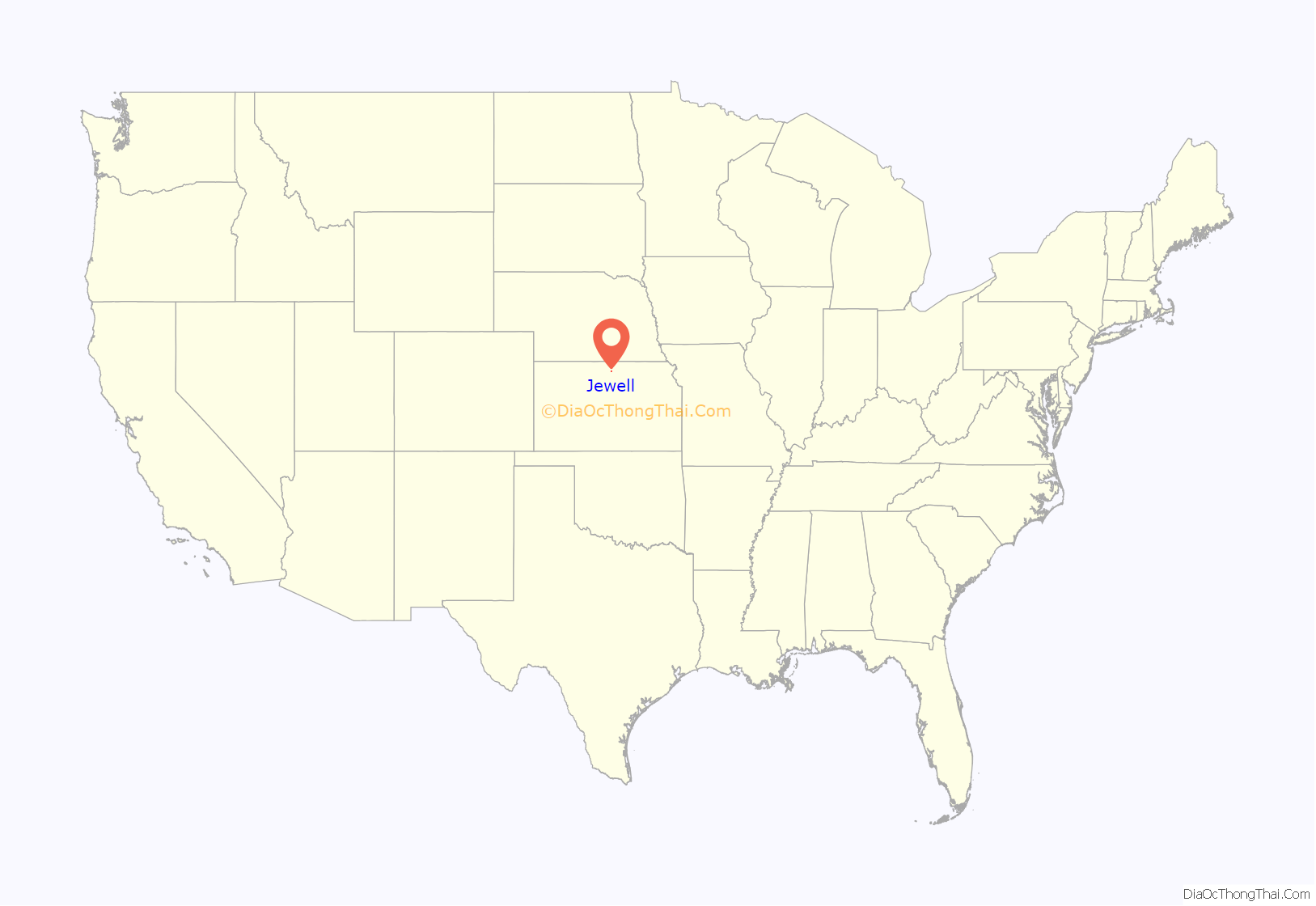
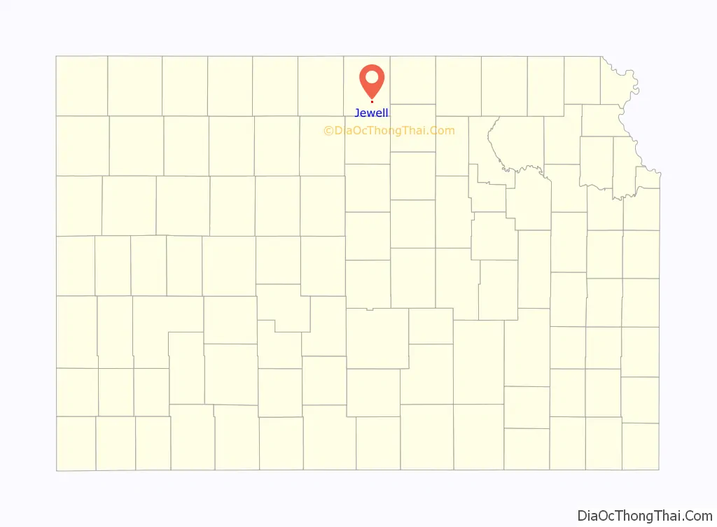
Jewell location map. Where is Jewell city?
History
The City of Jewell began in 1870 as a large sod enclosure called Fort Jewell. Named in honor of Lieutenant-Colonel Lewis R. Jewell, Sixth Kansas Cavalry, who died November 30, 1862, of wounds received in the battle of Cane Hill, Ark. November 28, 1862.
The first post office in Jewell was established in July 1870.
Jewel was incorporated as a city in 1880.
Jewell was located on the Missouri Pacific Railroad.
A new community center was built in 1999 across from the city park, it features a Public library, American Legion offices and a 4-room hotel.
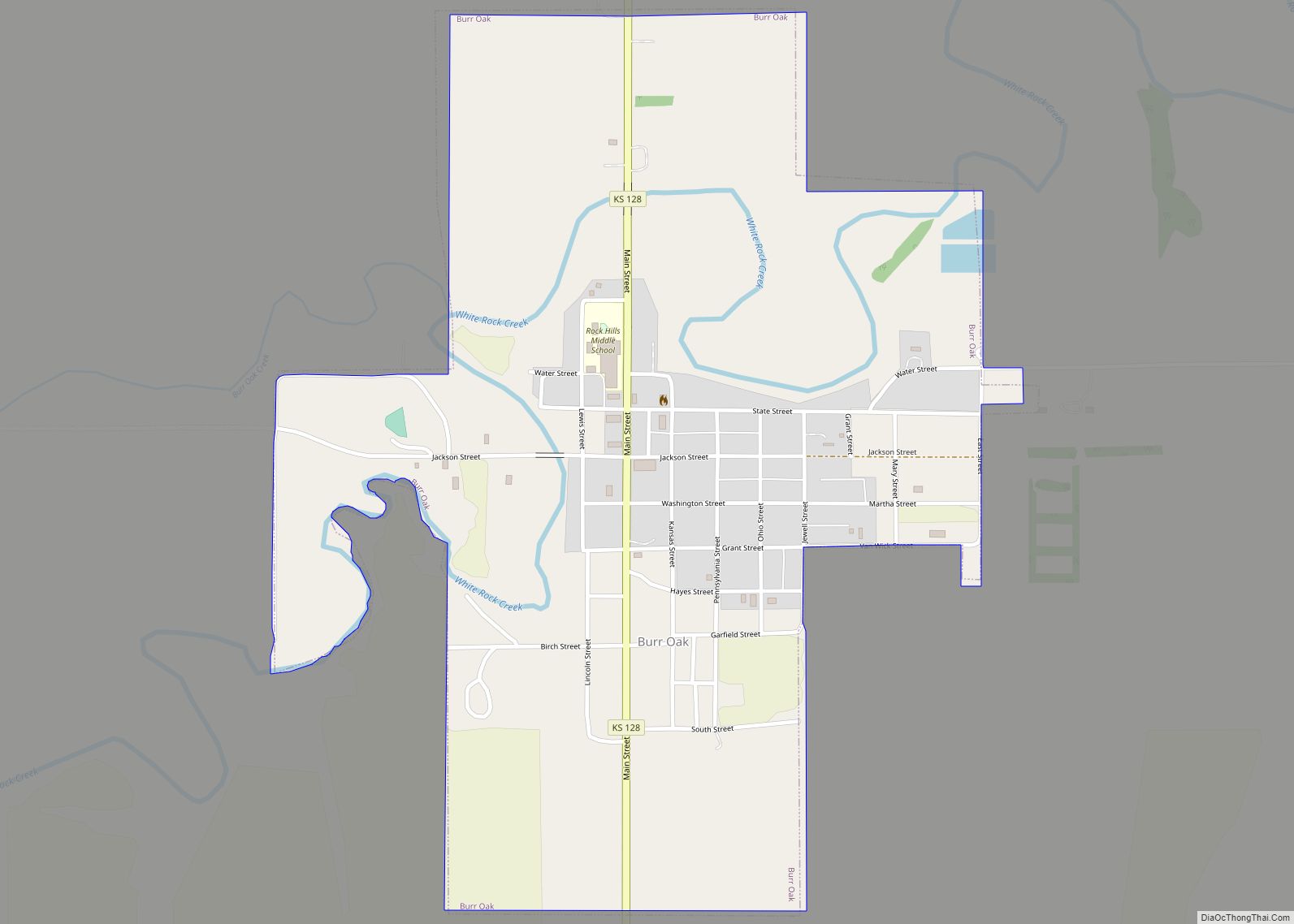
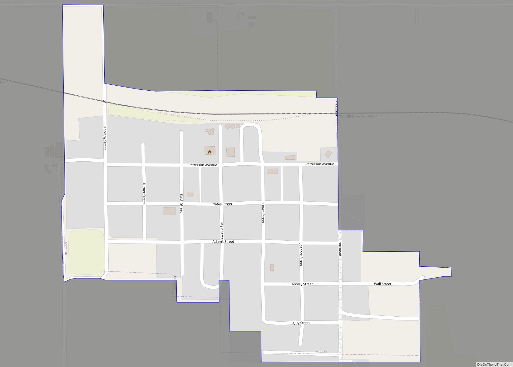
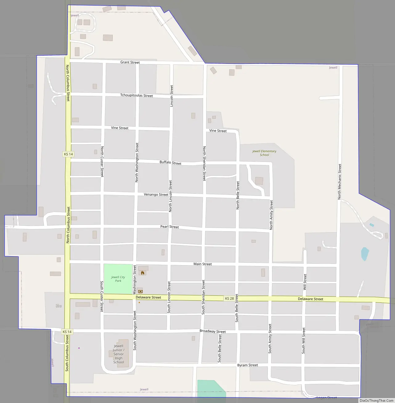
Jewell Road Map
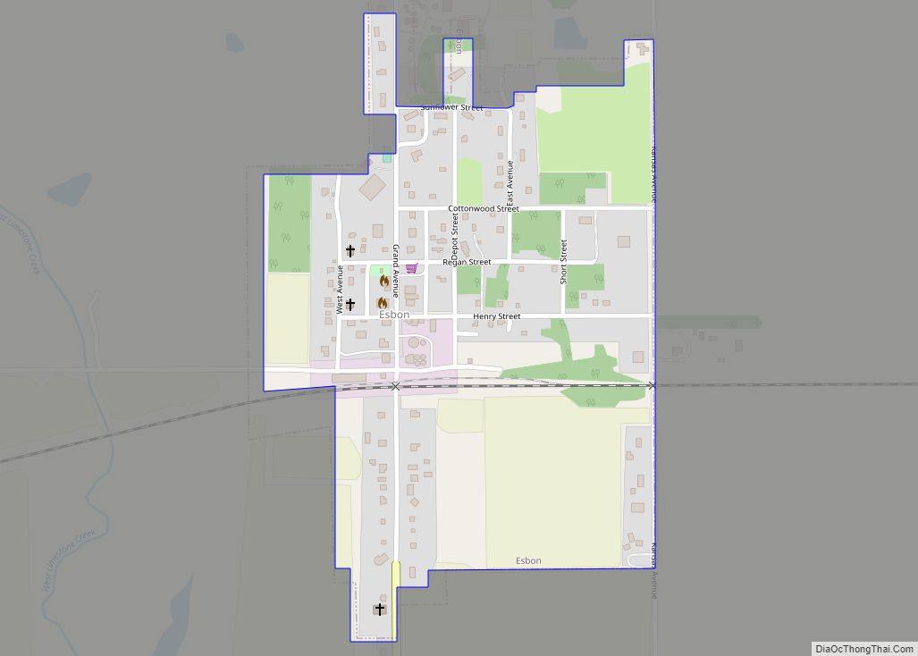
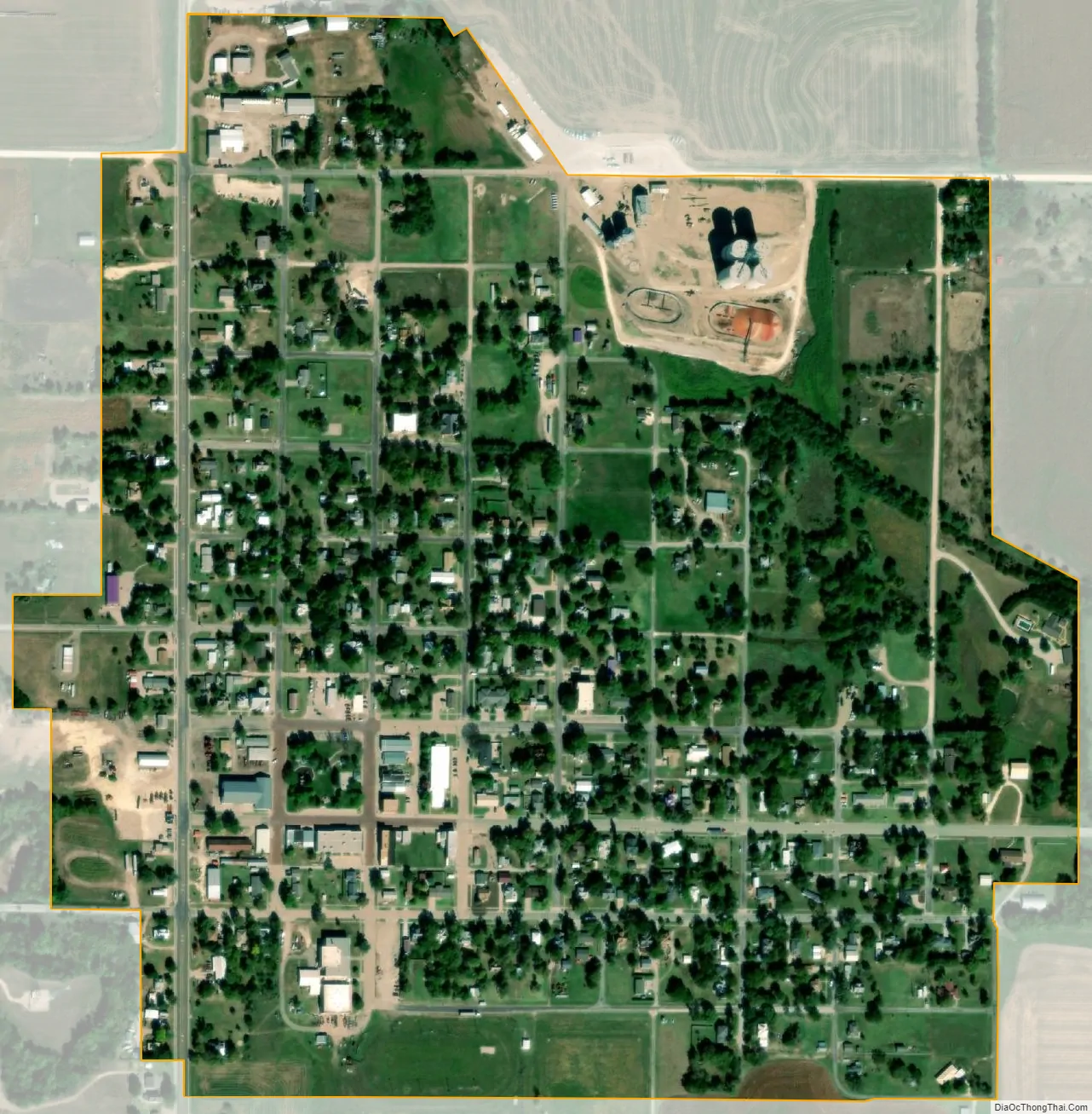
Jewell city Satellite Map
Geography
Jewell is located at 39°40′15″N 98°9′10″W / 39.67083°N 98.15278°W / 39.67083; -98.15278 (39.670941, -98.152795). According to the United States Census Bureau, the city has a total area of 0.43 square miles (1.11 km), all of it land.
See also
Map of Kansas State and its subdivision:- Allen
- Anderson
- Atchison
- Barber
- Barton
- Bourbon
- Brown
- Butler
- Chase
- Chautauqua
- Cherokee
- Cheyenne
- Clark
- Clay
- Cloud
- Coffey
- Comanche
- Cowley
- Crawford
- Decatur
- Dickinson
- Doniphan
- Douglas
- Edwards
- Elk
- Ellis
- Ellsworth
- Finney
- Ford
- Franklin
- Geary
- Gove
- Graham
- Grant
- Gray
- Greeley
- Greenwood
- Hamilton
- Harper
- Harvey
- Haskell
- Hodgeman
- Jackson
- Jefferson
- Jewell
- Johnson
- Kearny
- Kingman
- Kiowa
- Labette
- Lane
- Leavenworth
- Lincoln
- Linn
- Logan
- Lyon
- Marion
- Marshall
- McPherson
- Meade
- Miami
- Mitchell
- Montgomery
- Morris
- Morton
- Nemaha
- Neosho
- Ness
- Norton
- Osage
- Osborne
- Ottawa
- Pawnee
- Phillips
- Pottawatomie
- Pratt
- Rawlins
- Reno
- Republic
- Rice
- Riley
- Rooks
- Rush
- Russell
- Saline
- Scott
- Sedgwick
- Seward
- Shawnee
- Sheridan
- Sherman
- Smith
- Stafford
- Stanton
- Stevens
- Sumner
- Thomas
- Trego
- Wabaunsee
- Wallace
- Washington
- Wichita
- Wilson
- Woodson
- Wyandotte
- Alabama
- Alaska
- Arizona
- Arkansas
- California
- Colorado
- Connecticut
- Delaware
- District of Columbia
- Florida
- Georgia
- Hawaii
- Idaho
- Illinois
- Indiana
- Iowa
- Kansas
- Kentucky
- Louisiana
- Maine
- Maryland
- Massachusetts
- Michigan
- Minnesota
- Mississippi
- Missouri
- Montana
- Nebraska
- Nevada
- New Hampshire
- New Jersey
- New Mexico
- New York
- North Carolina
- North Dakota
- Ohio
- Oklahoma
- Oregon
- Pennsylvania
- Rhode Island
- South Carolina
- South Dakota
- Tennessee
- Texas
- Utah
- Vermont
- Virginia
- Washington
- West Virginia
- Wisconsin
- Wyoming