Mahaska is a city in Washington County, Kansas, United States. As of the 2020 census, the population of the city was 46. It is located 1 mile south of the Nebraska state line.
| Name: | Mahaska city |
|---|---|
| LSAD Code: | 25 |
| LSAD Description: | city (suffix) |
| State: | Kansas |
| County: | Washington County |
| Founded: | 1887 |
| Incorporated: | 1909 |
| Elevation: | 1,598 ft (487 m) |
| Total Area: | 0.22 sq mi (0.58 km²) |
| Land Area: | 0.22 sq mi (0.58 km²) |
| Water Area: | 0.00 sq mi (0.00 km²) |
| Total Population: | 46 |
| Population Density: | 210/sq mi (79/km²) |
| ZIP code: | 66955 |
| Area code: | 785 |
| FIPS code: | 2044150 |
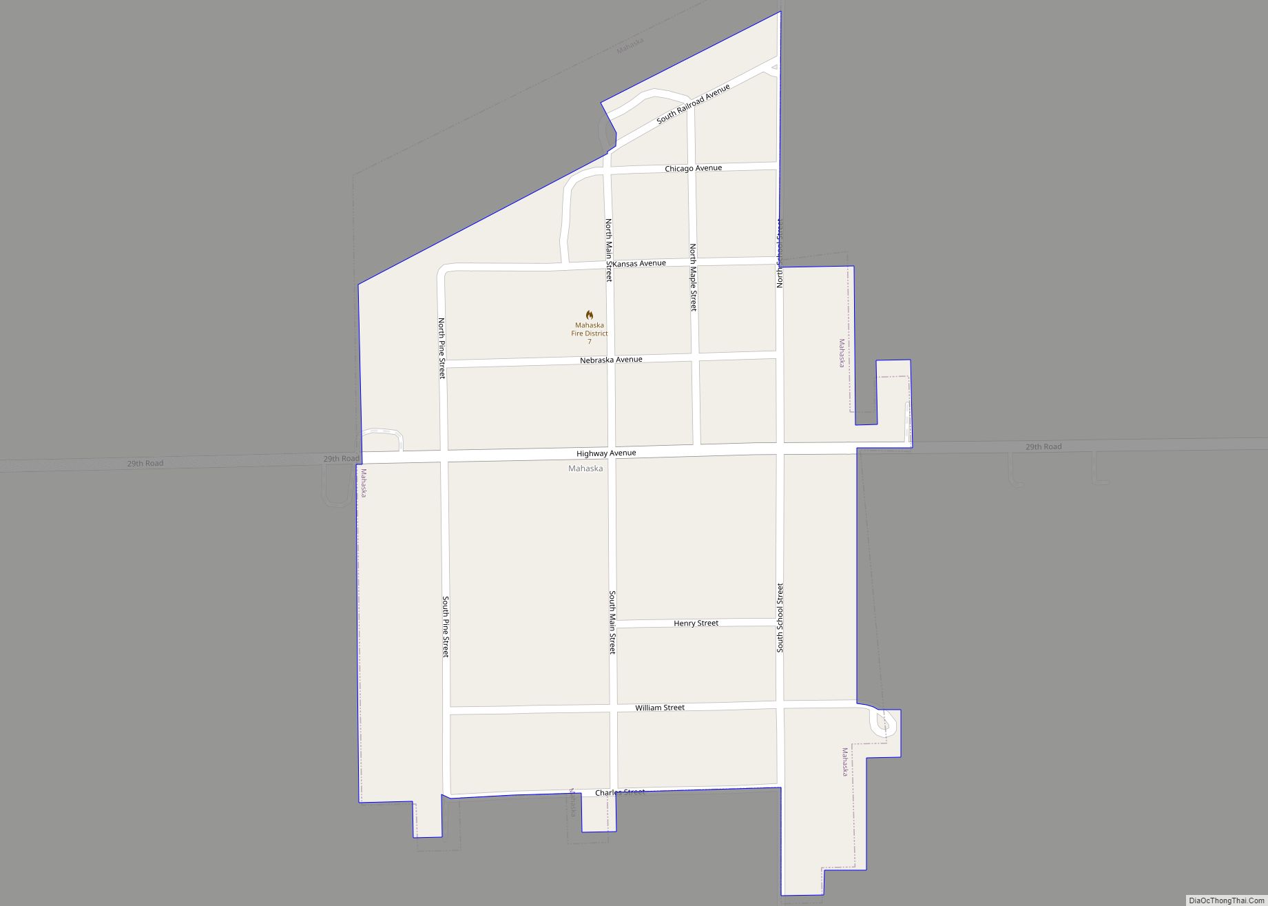
Online Interactive Map
Click on ![]() to view map in "full screen" mode.
to view map in "full screen" mode.
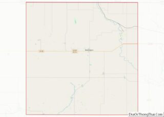
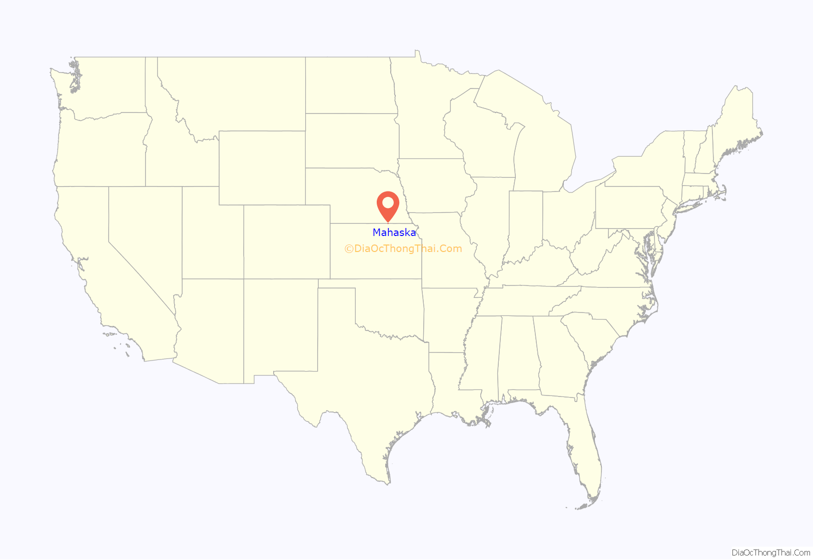
Mahaska location map. Where is Mahaska city?
History
Mahaska was founded in 1887 by L. Bonham. It was likely named for Chief Mahaska.
The first post office in Mahaska was established in December 1887.
In 1854, the Sixth Principal Meridian or 40th Parallel, approximately 1 mile northwest of the present day Mahaska. Originally marked in 1856, this site was the beginning point for land surveys for all land in Kansas, Nebraska, three-fourths of Colorado, most of Wyoming, and part of South Dakota. The original marker was rediscovered in 1976, then a new monument was dedicated in 1987.
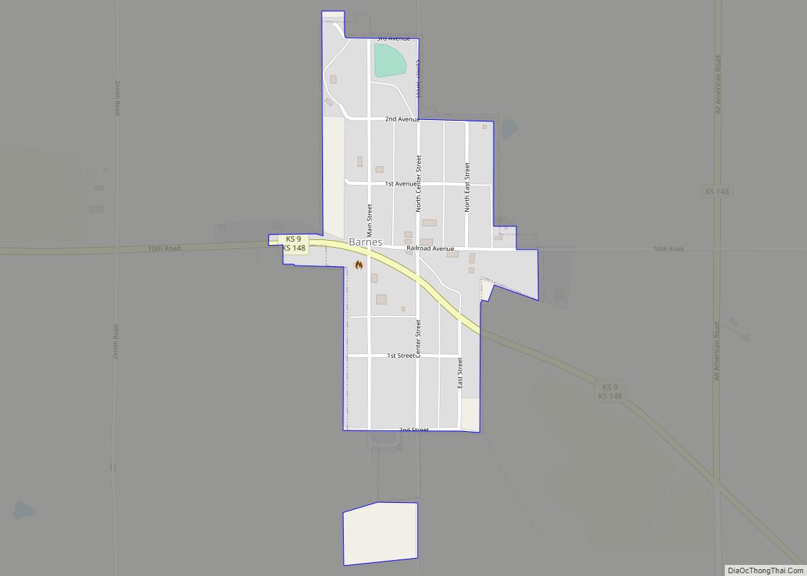
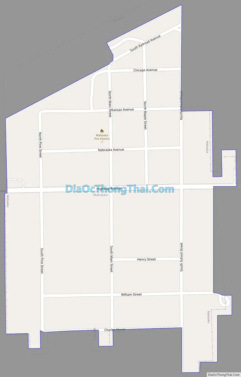
Mahaska Road Map
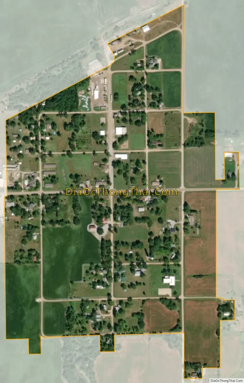
Mahaska city Satellite Map
Geography
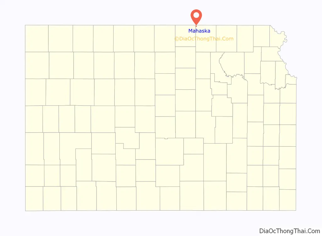
Mahaska is located at 39°59′13″N 97°21′9″W / 39.98694°N 97.35250°W / 39.98694; -97.35250 (39.987024, -97.352376). According to the United States Census Bureau, the city has a total area of 0.25 square miles (0.65 km), all of it land. The community is approximately 1.0 mile (1.6 km) south of the Kansas-Nebraska state line.
See also
Map of Kansas State and its subdivision:- Allen
- Anderson
- Atchison
- Barber
- Barton
- Bourbon
- Brown
- Butler
- Chase
- Chautauqua
- Cherokee
- Cheyenne
- Clark
- Clay
- Cloud
- Coffey
- Comanche
- Cowley
- Crawford
- Decatur
- Dickinson
- Doniphan
- Douglas
- Edwards
- Elk
- Ellis
- Ellsworth
- Finney
- Ford
- Franklin
- Geary
- Gove
- Graham
- Grant
- Gray
- Greeley
- Greenwood
- Hamilton
- Harper
- Harvey
- Haskell
- Hodgeman
- Jackson
- Jefferson
- Jewell
- Johnson
- Kearny
- Kingman
- Kiowa
- Labette
- Lane
- Leavenworth
- Lincoln
- Linn
- Logan
- Lyon
- Marion
- Marshall
- McPherson
- Meade
- Miami
- Mitchell
- Montgomery
- Morris
- Morton
- Nemaha
- Neosho
- Ness
- Norton
- Osage
- Osborne
- Ottawa
- Pawnee
- Phillips
- Pottawatomie
- Pratt
- Rawlins
- Reno
- Republic
- Rice
- Riley
- Rooks
- Rush
- Russell
- Saline
- Scott
- Sedgwick
- Seward
- Shawnee
- Sheridan
- Sherman
- Smith
- Stafford
- Stanton
- Stevens
- Sumner
- Thomas
- Trego
- Wabaunsee
- Wallace
- Washington
- Wichita
- Wilson
- Woodson
- Wyandotte
- Alabama
- Alaska
- Arizona
- Arkansas
- California
- Colorado
- Connecticut
- Delaware
- District of Columbia
- Florida
- Georgia
- Hawaii
- Idaho
- Illinois
- Indiana
- Iowa
- Kansas
- Kentucky
- Louisiana
- Maine
- Maryland
- Massachusetts
- Michigan
- Minnesota
- Mississippi
- Missouri
- Montana
- Nebraska
- Nevada
- New Hampshire
- New Jersey
- New Mexico
- New York
- North Carolina
- North Dakota
- Ohio
- Oklahoma
- Oregon
- Pennsylvania
- Rhode Island
- South Carolina
- South Dakota
- Tennessee
- Texas
- Utah
- Vermont
- Virginia
- Washington
- West Virginia
- Wisconsin
- Wyoming