McDonald is a city in Rawlins County, Kansas, United States. As of the 2020 census, the population of the city was 113.
| Name: | McDonald city |
|---|---|
| LSAD Code: | 25 |
| LSAD Description: | city (suffix) |
| State: | Kansas |
| County: | Rawlins County |
| Founded: | 1880s |
| Incorporated: | 1919 |
| Elevation: | 3,363 ft (1,025 m) |
| Total Area: | 0.22 sq mi (0.57 km²) |
| Land Area: | 0.22 sq mi (0.57 km²) |
| Water Area: | 0.00 sq mi (0.00 km²) |
| Total Population: | 113 |
| Population Density: | 510/sq mi (200/km²) |
| ZIP code: | 67745 |
| Area code: | 785 |
| FIPS code: | 2043750 |
Online Interactive Map
Click on ![]() to view map in "full screen" mode.
to view map in "full screen" mode.
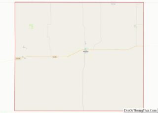
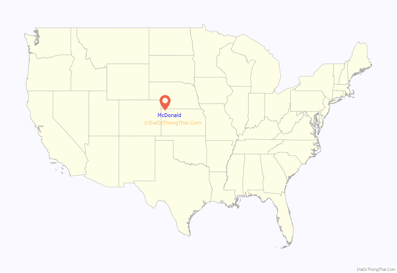
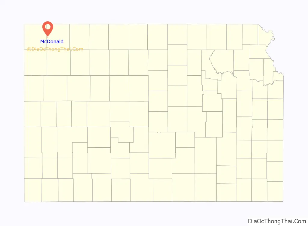
McDonald location map. Where is McDonald city?
History
A post office was opened in Celia (an extinct town) in 1880, but it was moved to McDonald in 1888. McDonald was named for Rice McDonald, a landowner.
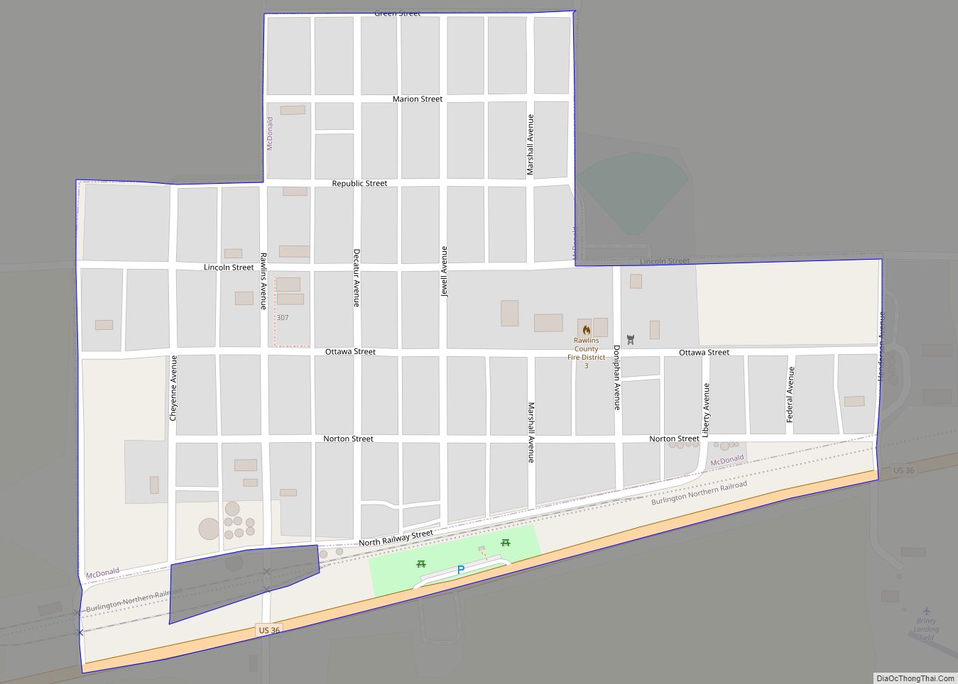
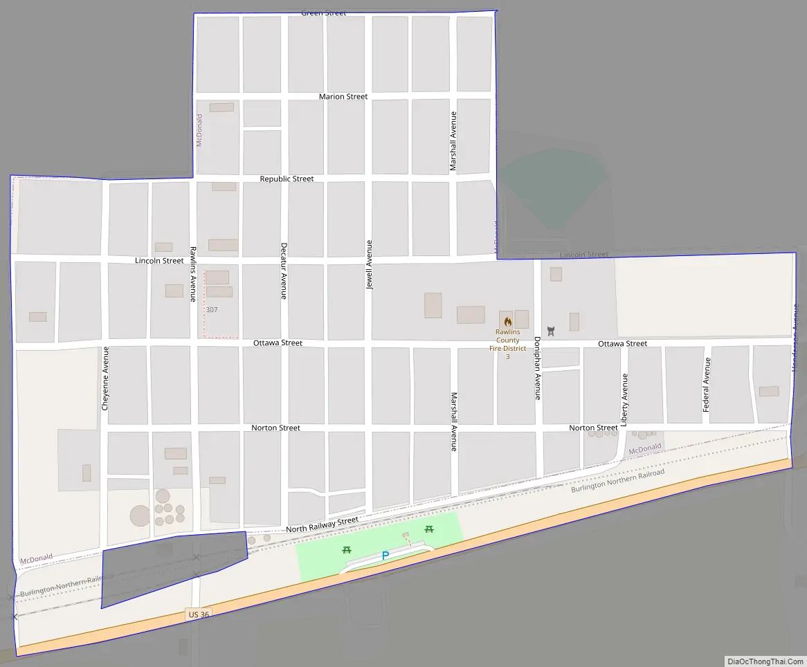
McDonald Road Map
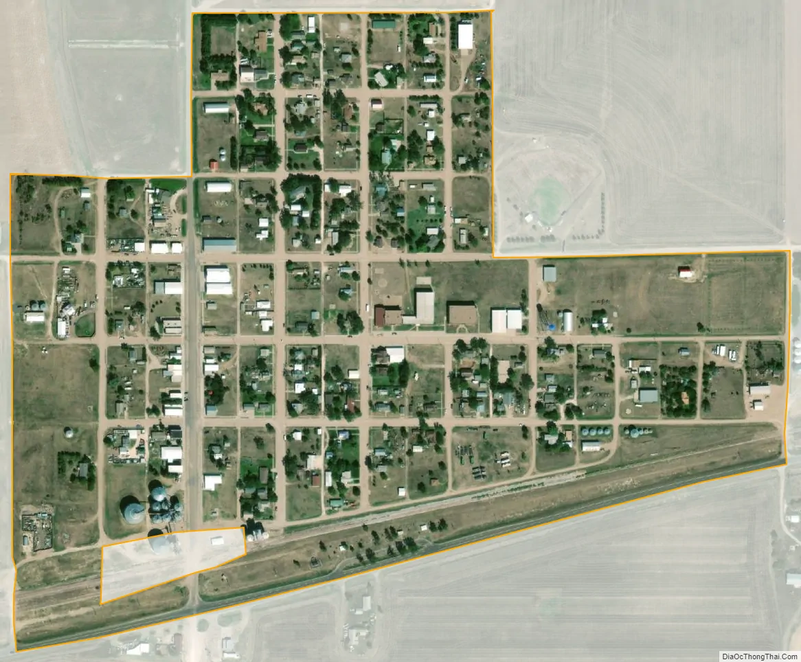
McDonald city Satellite Map
Geography
McDonald is located at 39°47′7″N 101°22′14″W / 39.78528°N 101.37056°W / 39.78528; -101.37056 (39.785196, -101.370435). According to the United States Census Bureau, the city has a total area of 0.22 square miles (0.57 km), all land.
Climate
According to the Köppen Climate Classification system, McDonald has a semi-arid climate, abbreviated “BSk” on climate maps.
According to weather data tallied between July 1, 1985 and June 30, 2015 for every location in the National Oceanic and Atmospheric Administration’s official climate database, McDonald, Kansas, is the snowiest place in the state of Kansas with an average of 37.6 inches of snow per year.
See also
Map of Kansas State and its subdivision:- Allen
- Anderson
- Atchison
- Barber
- Barton
- Bourbon
- Brown
- Butler
- Chase
- Chautauqua
- Cherokee
- Cheyenne
- Clark
- Clay
- Cloud
- Coffey
- Comanche
- Cowley
- Crawford
- Decatur
- Dickinson
- Doniphan
- Douglas
- Edwards
- Elk
- Ellis
- Ellsworth
- Finney
- Ford
- Franklin
- Geary
- Gove
- Graham
- Grant
- Gray
- Greeley
- Greenwood
- Hamilton
- Harper
- Harvey
- Haskell
- Hodgeman
- Jackson
- Jefferson
- Jewell
- Johnson
- Kearny
- Kingman
- Kiowa
- Labette
- Lane
- Leavenworth
- Lincoln
- Linn
- Logan
- Lyon
- Marion
- Marshall
- McPherson
- Meade
- Miami
- Mitchell
- Montgomery
- Morris
- Morton
- Nemaha
- Neosho
- Ness
- Norton
- Osage
- Osborne
- Ottawa
- Pawnee
- Phillips
- Pottawatomie
- Pratt
- Rawlins
- Reno
- Republic
- Rice
- Riley
- Rooks
- Rush
- Russell
- Saline
- Scott
- Sedgwick
- Seward
- Shawnee
- Sheridan
- Sherman
- Smith
- Stafford
- Stanton
- Stevens
- Sumner
- Thomas
- Trego
- Wabaunsee
- Wallace
- Washington
- Wichita
- Wilson
- Woodson
- Wyandotte
- Alabama
- Alaska
- Arizona
- Arkansas
- California
- Colorado
- Connecticut
- Delaware
- District of Columbia
- Florida
- Georgia
- Hawaii
- Idaho
- Illinois
- Indiana
- Iowa
- Kansas
- Kentucky
- Louisiana
- Maine
- Maryland
- Massachusetts
- Michigan
- Minnesota
- Mississippi
- Missouri
- Montana
- Nebraska
- Nevada
- New Hampshire
- New Jersey
- New Mexico
- New York
- North Carolina
- North Dakota
- Ohio
- Oklahoma
- Oregon
- Pennsylvania
- Rhode Island
- South Carolina
- South Dakota
- Tennessee
- Texas
- Utah
- Vermont
- Virginia
- Washington
- West Virginia
- Wisconsin
- Wyoming