Neosho Falls is a city in Woodson County, Kansas, United States. As of the 2020 census, the population of the city was 134.
| Name: | Neosho Falls city |
|---|---|
| LSAD Code: | 25 |
| LSAD Description: | city (suffix) |
| State: | Kansas |
| County: | Woodson County |
| Founded: | 1857 |
| Incorporated: | 1892 |
| Elevation: | 974 ft (297 m) |
| Total Area: | 0.53 sq mi (1.38 km²) |
| Land Area: | 0.51 sq mi (1.31 km²) |
| Water Area: | 0.03 sq mi (0.06 km²) |
| Total Population: | 134 |
| Population Density: | 250/sq mi (97/km²) |
| ZIP code: | 66758 |
| Area code: | 620 |
| FIPS code: | 2049825 |
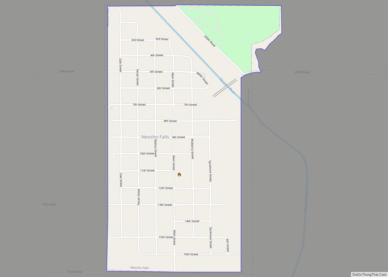
Online Interactive Map
Click on ![]() to view map in "full screen" mode.
to view map in "full screen" mode.
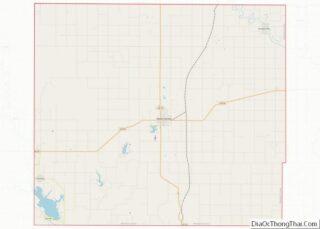
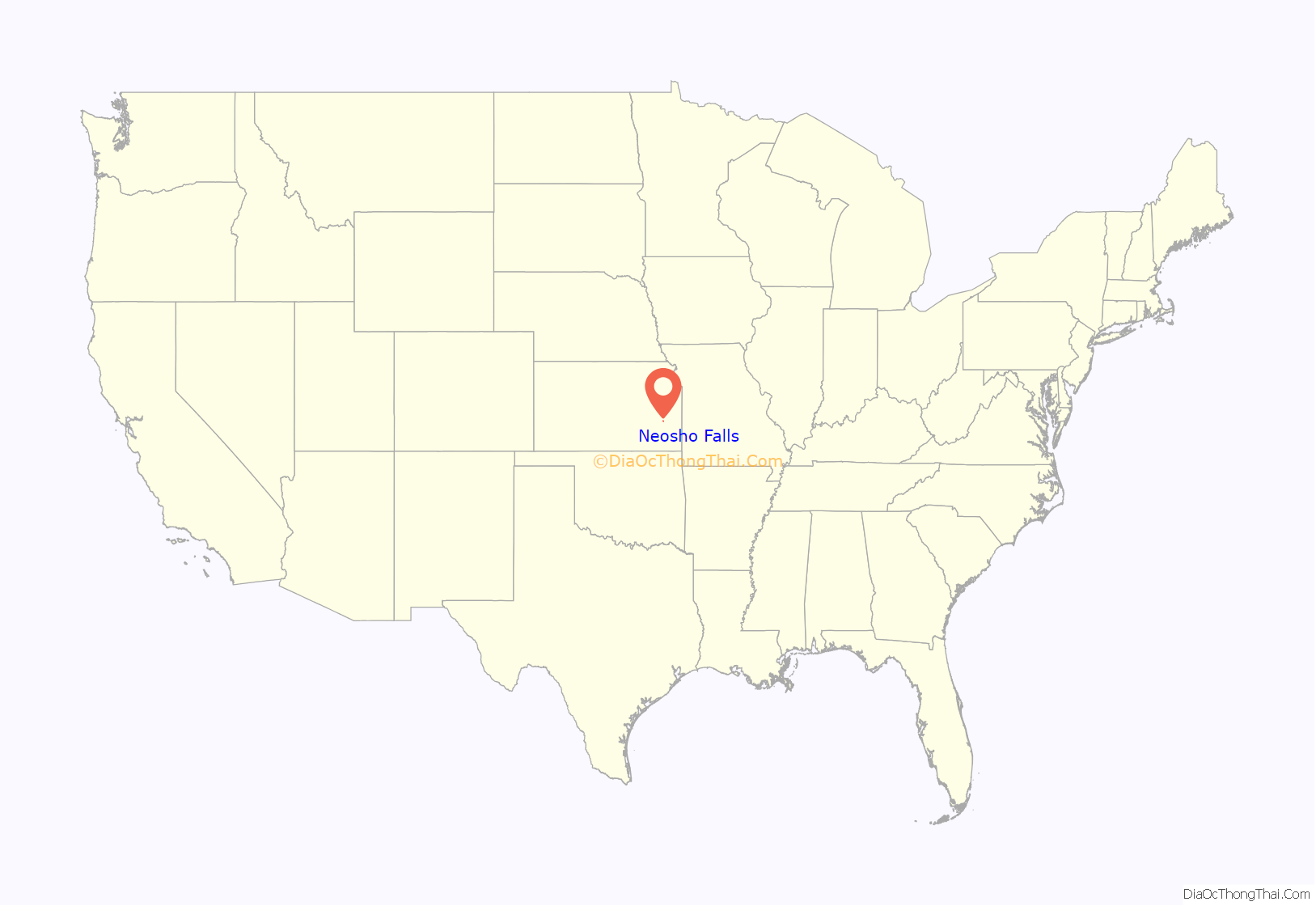
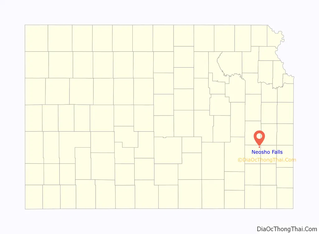
Neosho Falls location map. Where is Neosho Falls city?
History
Neosho Falls was founded in 1857, making it the oldest town and first county seat in Woodson County. It was named from the Neosho River, on which it is situated. The first post office in Neosho Falls was established in May 1857.
Neosho Falls was originally platted and extensively improved by a company led by Benjamin F. Goss and his brother N. S. Goss, who would later organize a company of cavalry in the area to fight for the Union in the American Civil War.
The town was largely destroyed and abandoned when the Neosho River overflowed during the Great Flood of 1951.
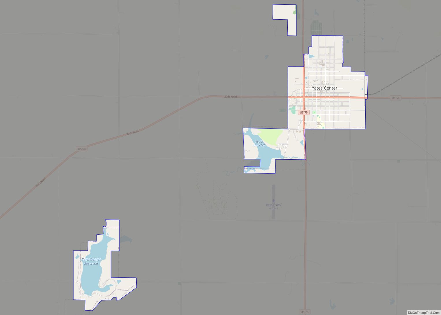
Neosho Falls Road Map
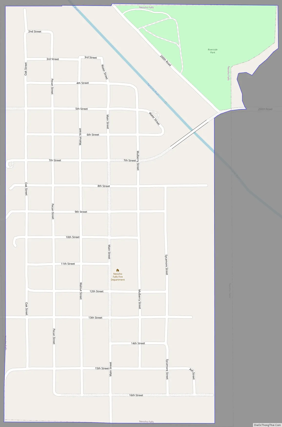
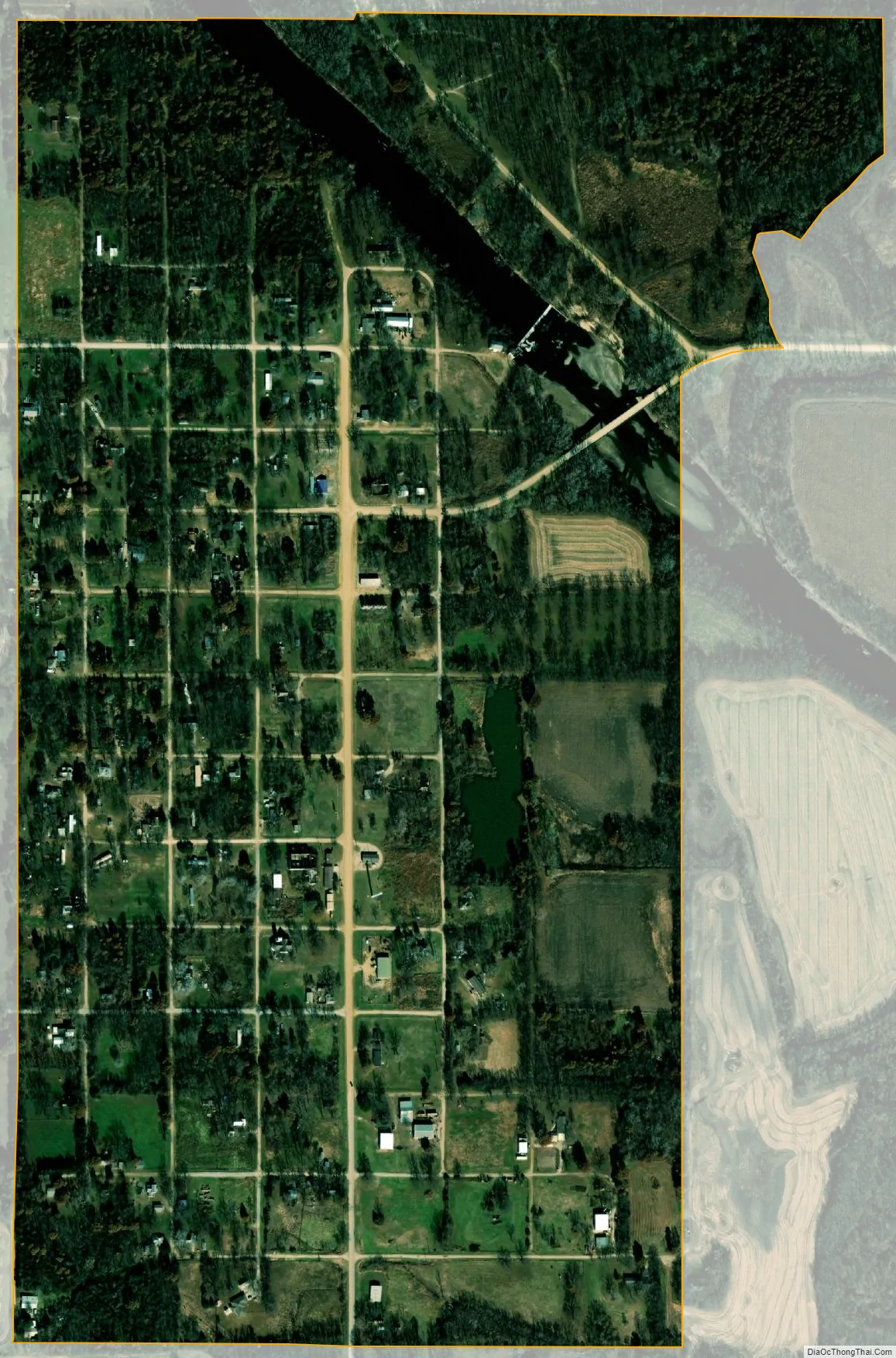
Neosho Falls city Satellite Map
Geography
Neosho Falls is located at 38°0′21″N 95°33′24″W / 38.00583°N 95.55667°W / 38.00583; -95.55667 (38.005865, -95.556708). According to the United States Census Bureau, the city has a total area of 0.57 square miles (1.48 km), of which, 0.54 square miles (1.40 km) is land and 0.03 square miles (0.08 km) is water.
See also
Map of Kansas State and its subdivision:- Allen
- Anderson
- Atchison
- Barber
- Barton
- Bourbon
- Brown
- Butler
- Chase
- Chautauqua
- Cherokee
- Cheyenne
- Clark
- Clay
- Cloud
- Coffey
- Comanche
- Cowley
- Crawford
- Decatur
- Dickinson
- Doniphan
- Douglas
- Edwards
- Elk
- Ellis
- Ellsworth
- Finney
- Ford
- Franklin
- Geary
- Gove
- Graham
- Grant
- Gray
- Greeley
- Greenwood
- Hamilton
- Harper
- Harvey
- Haskell
- Hodgeman
- Jackson
- Jefferson
- Jewell
- Johnson
- Kearny
- Kingman
- Kiowa
- Labette
- Lane
- Leavenworth
- Lincoln
- Linn
- Logan
- Lyon
- Marion
- Marshall
- McPherson
- Meade
- Miami
- Mitchell
- Montgomery
- Morris
- Morton
- Nemaha
- Neosho
- Ness
- Norton
- Osage
- Osborne
- Ottawa
- Pawnee
- Phillips
- Pottawatomie
- Pratt
- Rawlins
- Reno
- Republic
- Rice
- Riley
- Rooks
- Rush
- Russell
- Saline
- Scott
- Sedgwick
- Seward
- Shawnee
- Sheridan
- Sherman
- Smith
- Stafford
- Stanton
- Stevens
- Sumner
- Thomas
- Trego
- Wabaunsee
- Wallace
- Washington
- Wichita
- Wilson
- Woodson
- Wyandotte
- Alabama
- Alaska
- Arizona
- Arkansas
- California
- Colorado
- Connecticut
- Delaware
- District of Columbia
- Florida
- Georgia
- Hawaii
- Idaho
- Illinois
- Indiana
- Iowa
- Kansas
- Kentucky
- Louisiana
- Maine
- Maryland
- Massachusetts
- Michigan
- Minnesota
- Mississippi
- Missouri
- Montana
- Nebraska
- Nevada
- New Hampshire
- New Jersey
- New Mexico
- New York
- North Carolina
- North Dakota
- Ohio
- Oklahoma
- Oregon
- Pennsylvania
- Rhode Island
- South Carolina
- South Dakota
- Tennessee
- Texas
- Utah
- Vermont
- Virginia
- Washington
- West Virginia
- Wisconsin
- Wyoming