Owosso is the largest city in Shiawassee County in the U.S. state of Michigan. The population was 15,194 at the 2010 census. The city is mostly surrounded by Owosso Township on its west, but the two are administered autonomously. The city was named after Chief Wosso, an Ojibwe leader of the Shiawassee area.
| Name: | Owosso city |
|---|---|
| LSAD Code: | 25 |
| LSAD Description: | city (suffix) |
| State: | Michigan |
| County: | Shiawassee County |
| Incorporated: | 1859 |
| Elevation: | 738 ft (225 m) |
| Total Area: | 5.39 sq mi (13.96 km²) |
| Land Area: | 5.25 sq mi (13.59 km²) |
| Water Area: | 0.14 sq mi (0.37 km²) |
| Total Population: | 14,714 |
| Population Density: | 2,803.73/sq mi (1,082.47/km²) |
| Area code: | 989 |
| FIPS code: | 2661940 |
| GNISfeature ID: | 1626875 |
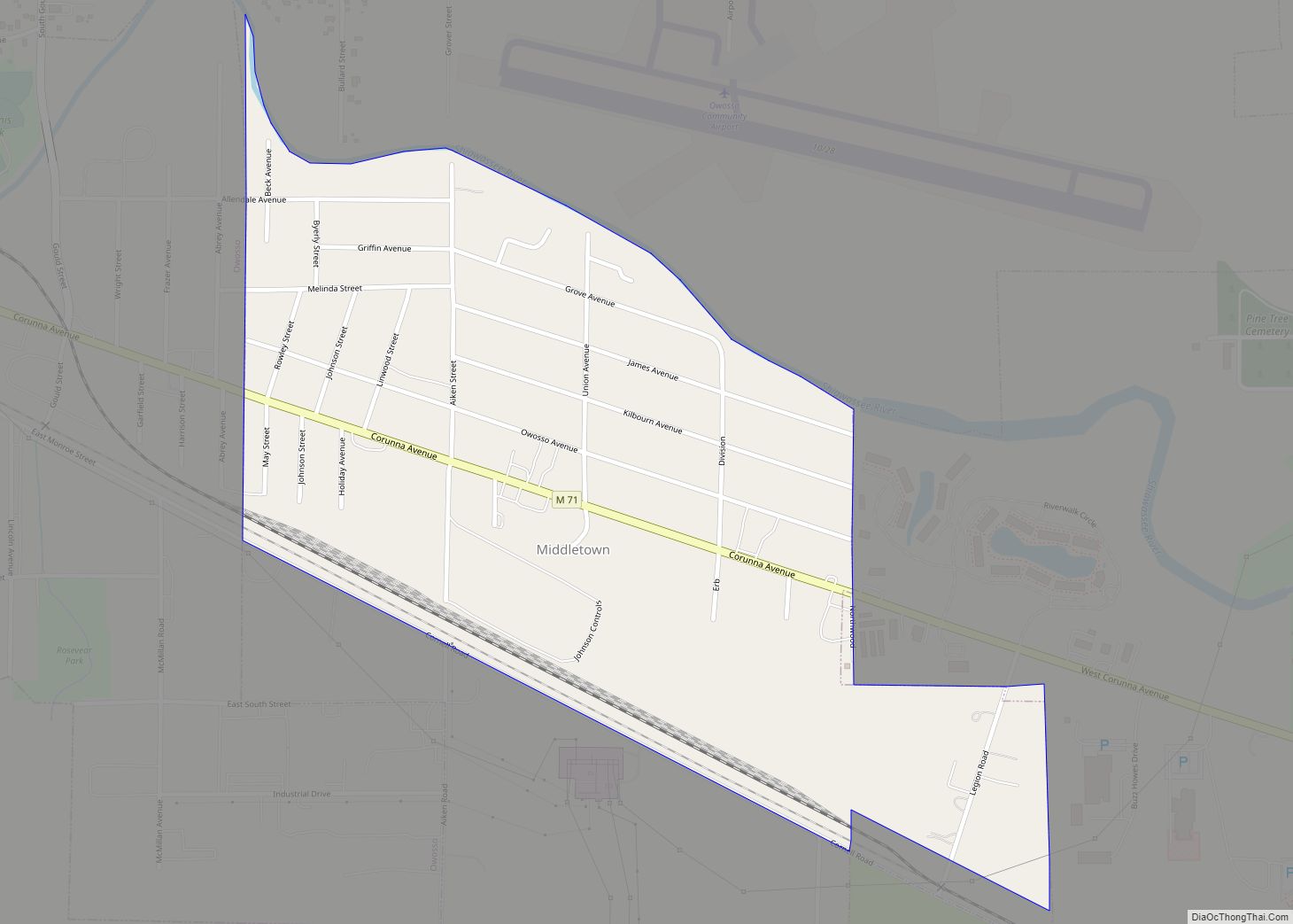
Online Interactive Map
Click on ![]() to view map in "full screen" mode.
to view map in "full screen" mode.
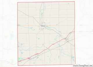
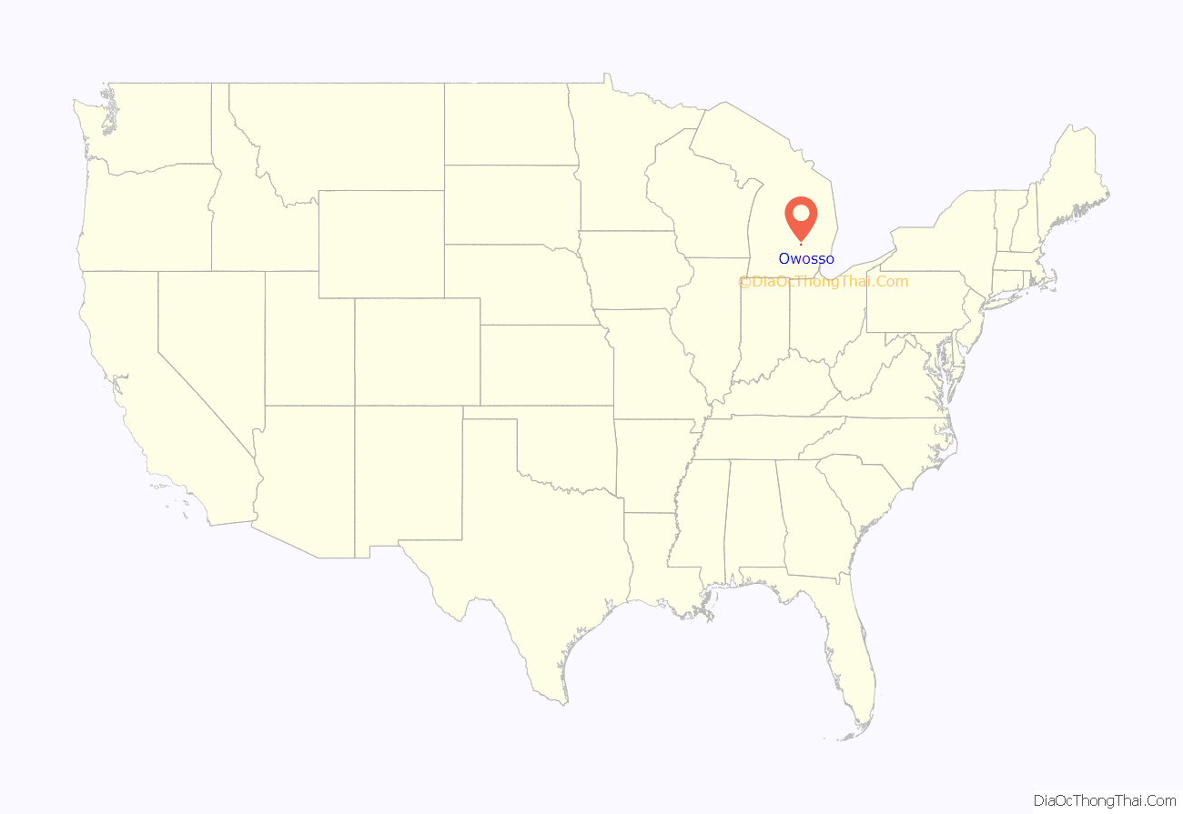
Owosso location map. Where is Owosso city?
History
Alfred L. and Benjamin O. Williams were early European-American settlers in the area. They were joined by Elias Comstock, who built the first permanent home in the settlement. Dr. John B. Barnes, a physician and a judge, and Sophronia King Barnes moved to Owosso in 1842. They lived on Oliver and Water streets where they operated an Underground Railroad waystation, where they provided aid and shelter for enslaved African Americans.
Owosso was incorporated as a city in 1859, at which time it had 1000 people. The city’s first mayor was Amos Gould, a judge originally from New York. Many other settlers also migrated across the Northern Tier from New York and New England. In 1876, the city organized its fire department.
The pattern of settlement and migration resulted in a majority-white city. In the 1950s, Owosso was reported by a major Montgomery, Alabama, newspaper to be a sundown town, where African Americans were not allowed to live or stay overnight.
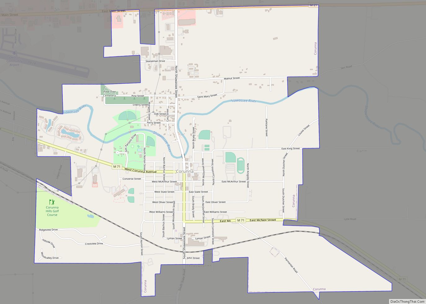
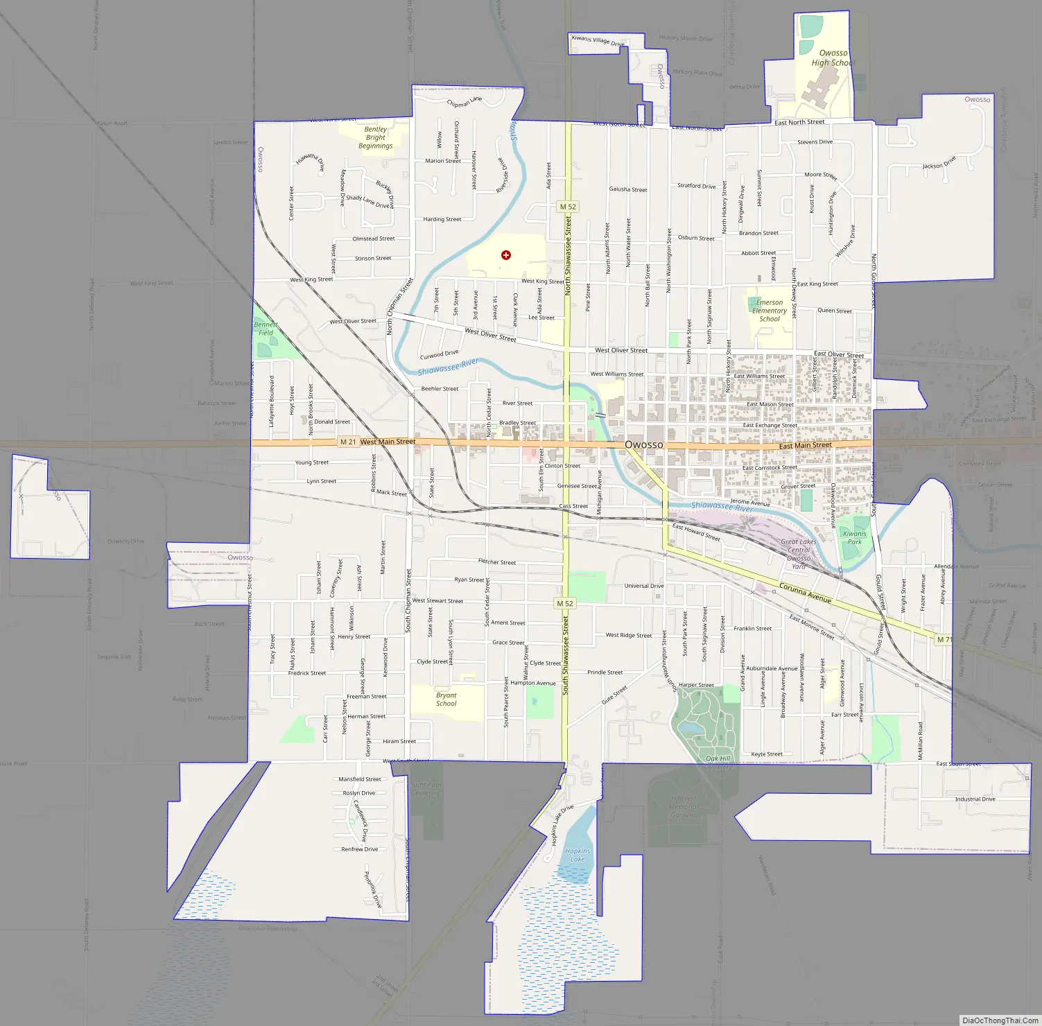
Owosso Road Map
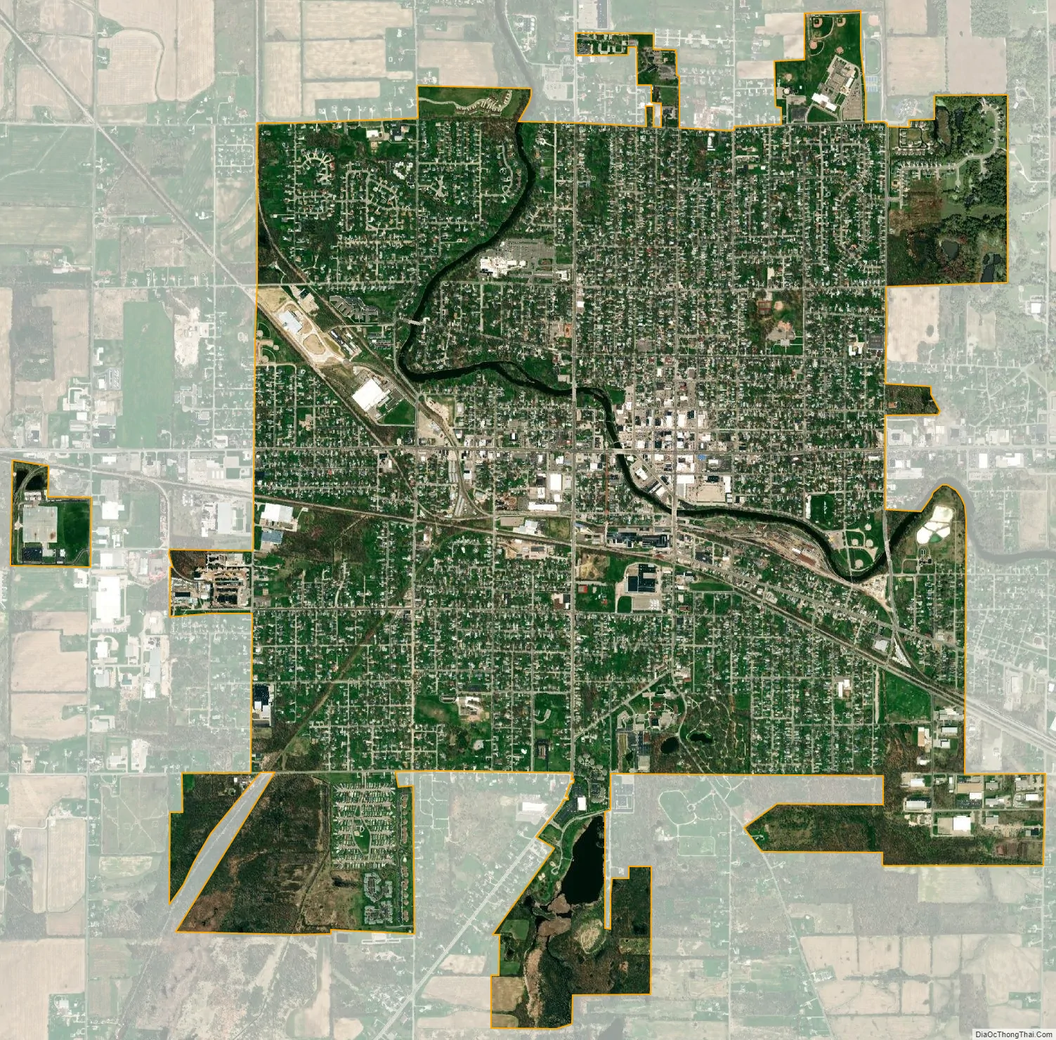
Owosso city Satellite Map
Geography
The city is on the Shiawassee River.
According to the United States Census Bureau, the city has a total area of 5.39 square miles (13.96 km), of which 5.25 square miles (13.60 km) is land and 0.14 square miles (0.36 km) (2.60%) is water.
Climate
Owosso experiences frigid winters, with the last snow usually falling in April, typically Northern Midwestern spring thaws, balmy to hot summers, and colorful falls, with the first snows usually occurring sometimes in December but typically in January. Each year Owosso averages eleven days with temperatures below 0 °F (−18 °C), and nine days with temperatures above 90 °F (32 °C). Owosso averages twenty-nine inches of rain per year, and forty-one inches of snow. The average growing season in Owosso is 144 days.
See also
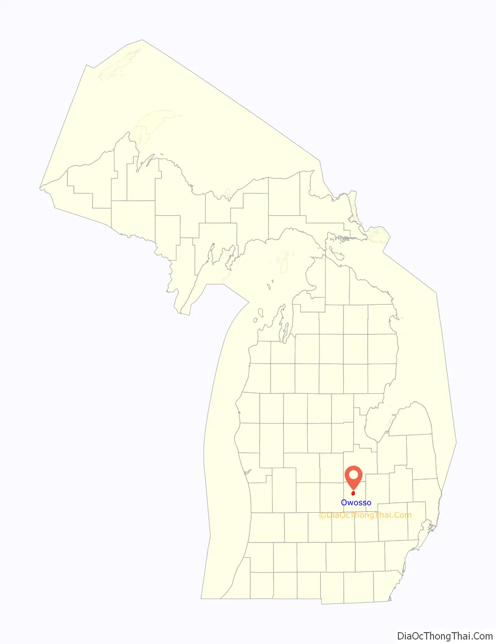
Map of Michigan State and its subdivision:- Alcona
- Alger
- Allegan
- Alpena
- Antrim
- Arenac
- Baraga
- Barry
- Bay
- Benzie
- Berrien
- Branch
- Calhoun
- Cass
- Charlevoix
- Cheboygan
- Chippewa
- Clare
- Clinton
- Crawford
- Delta
- Dickinson
- Eaton
- Emmet
- Genesee
- Gladwin
- Gogebic
- Grand Traverse
- Gratiot
- Hillsdale
- Houghton
- Huron
- Ingham
- Ionia
- Iosco
- Iron
- Isabella
- Jackson
- Kalamazoo
- Kalkaska
- Kent
- Keweenaw
- Lake
- Lake Hurron
- Lake Michigan
- Lake St. Clair
- Lake Superior
- Lapeer
- Leelanau
- Lenawee
- Livingston
- Luce
- Mackinac
- Macomb
- Manistee
- Marquette
- Mason
- Mecosta
- Menominee
- Midland
- Missaukee
- Monroe
- Montcalm
- Montmorency
- Muskegon
- Newaygo
- Oakland
- Oceana
- Ogemaw
- Ontonagon
- Osceola
- Oscoda
- Otsego
- Ottawa
- Presque Isle
- Roscommon
- Saginaw
- Saint Clair
- Saint Joseph
- Sanilac
- Schoolcraft
- Shiawassee
- Tuscola
- Van Buren
- Washtenaw
- Wayne
- Wexford
- Alabama
- Alaska
- Arizona
- Arkansas
- California
- Colorado
- Connecticut
- Delaware
- District of Columbia
- Florida
- Georgia
- Hawaii
- Idaho
- Illinois
- Indiana
- Iowa
- Kansas
- Kentucky
- Louisiana
- Maine
- Maryland
- Massachusetts
- Michigan
- Minnesota
- Mississippi
- Missouri
- Montana
- Nebraska
- Nevada
- New Hampshire
- New Jersey
- New Mexico
- New York
- North Carolina
- North Dakota
- Ohio
- Oklahoma
- Oregon
- Pennsylvania
- Rhode Island
- South Carolina
- South Dakota
- Tennessee
- Texas
- Utah
- Vermont
- Virginia
- Washington
- West Virginia
- Wisconsin
- Wyoming