Nags Head is a town in Dare County, North Carolina, United States. It is a busy vacation spot because of its beaches and sand dunes of Jockey’s Ridge. The population was 3,146 at the 2020 census.
| Name: | Nags Head town |
|---|---|
| LSAD Code: | 43 |
| LSAD Description: | town (suffix) |
| State: | North Carolina |
| County: | Dare County |
| Incorporated: | 1923 and 1961 |
| Elevation: | 3 ft (1 m) |
| Total Area: | 6.68 sq mi (17.31 km²) |
| Land Area: | 6.62 sq mi (17.14 km²) |
| Water Area: | 0.07 sq mi (0.17 km²) |
| Total Population: | 3,168 |
| Population Density: | 478.69/sq mi (184.84/km²) |
| ZIP code: | 27959 |
| Area code: | 252 |
| FIPS code: | 3745880 |
| GNISfeature ID: | 1021599 |
| Website: | nagsheadnc.gov |
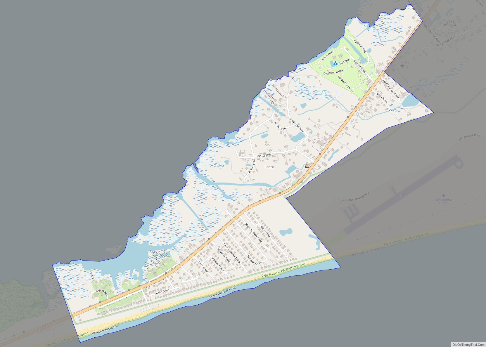
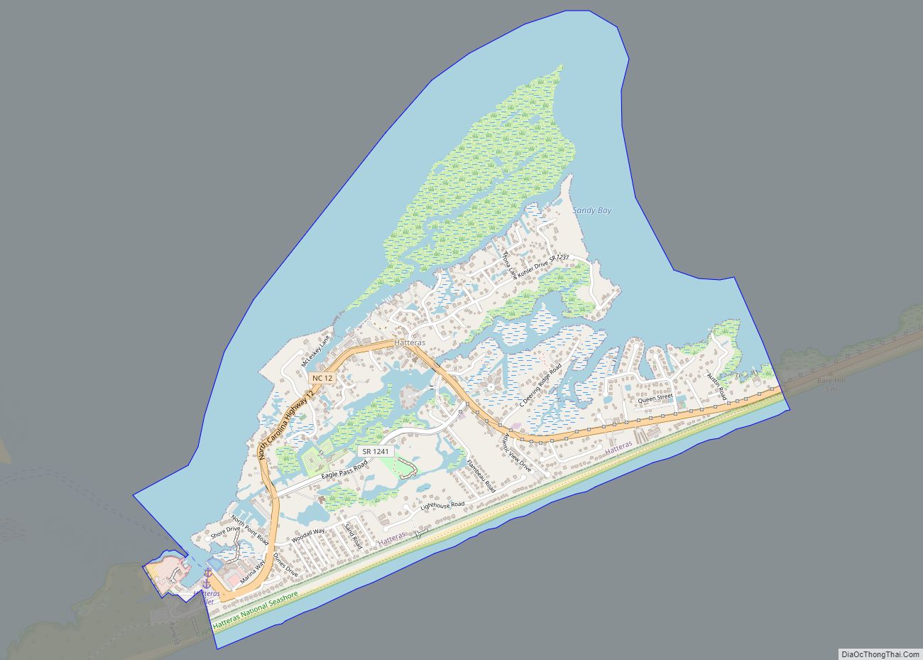
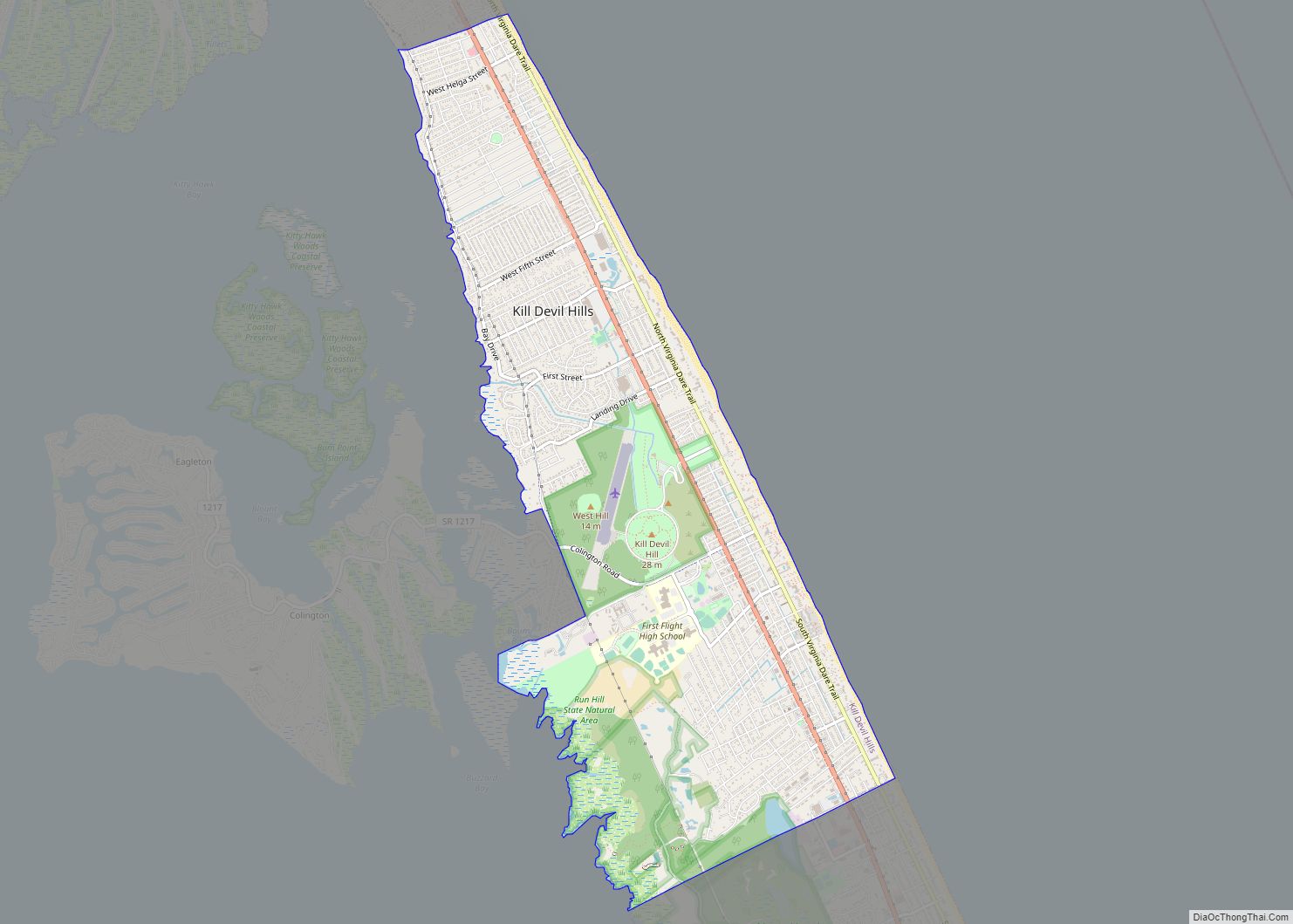
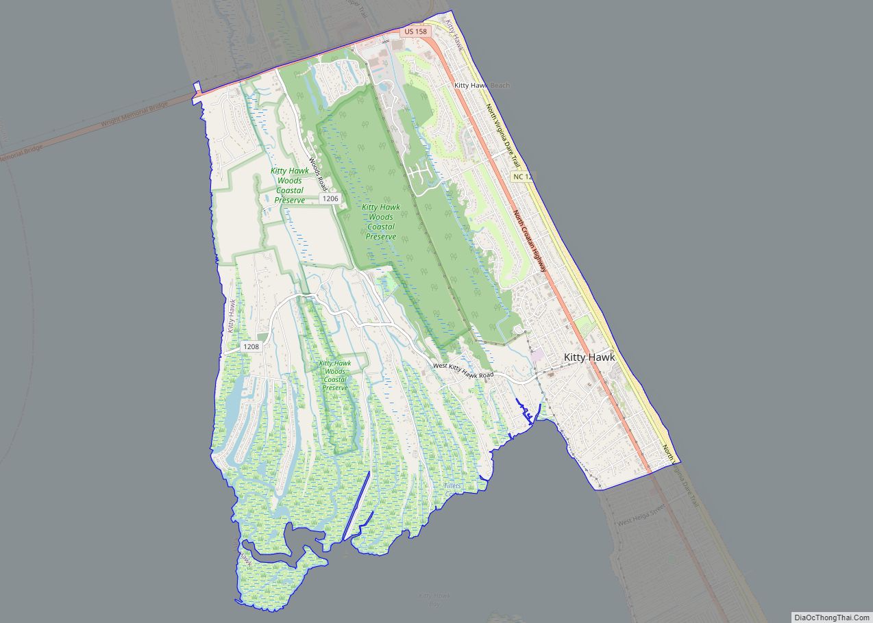
Online Interactive Map
Click on ![]() to view map in "full screen" mode.
to view map in "full screen" mode.
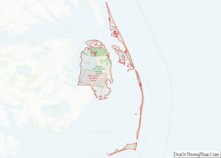
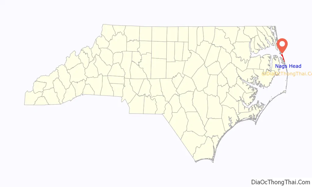
Nags Head location map. Where is Nags Head town?

History
Early maps of the area show Nags Head as a promontory of land characterized by high sand dunes visible from miles at sea. The origin of the town’s name is obscure but it is likely to have been named after any one of the Nag’s Heads on the English coast.
A folkloric explanation claims that mules or horses (nags) would have lights hung on their heads by nefarious wreckers in order to trick ships into running aground and then loot the ships of their valuables. The town’s emblem depicts one such equine accomplice from the tale.
Around 1830, Nags Head became known as a resort area. This direction was accelerated in 1855 when Dr. W.G. Pool bought 50 acres of oceanfront land which he separated into plots and sold to friends, increasing the number of homes in the area.
Jockey’s Ridge is the last vestige of the sand dunes seen by the first explorers, as the area is now highly developed. The town incorporated in 1961.
Energy and design improvements
In May 2021, Nags Head was one of 11 communities (along with nearby Ocracoke, North Carolina) chosen by the United States Department of Energy to participate in the Energy Transitions Initiative Partnership Project, a program to provide federal aid for remote communities to modernize their electric infrastructure and resiliency through natural disasters and outages. Nags Head’s grant is used to secure 48–72 hours of backup energy for emergency services due to the community’s vulnerability to severe weather and rising sea levels and to investigate renewable and energy efficiency options. According to Nag’s Head’s Director of Planning and Development Michael Zehner, the project will take 12–18 months to complete and the town will receive assistance from National Renewable Energy Laboratory and the Sandia National Laboratories.
Nags Head received a separate grant from the North Carolina Chapter of the American Institute of Architects to receive technical assistance in developing better building design practices for energy and water efficiency, a project with an expected completion in early 2022.
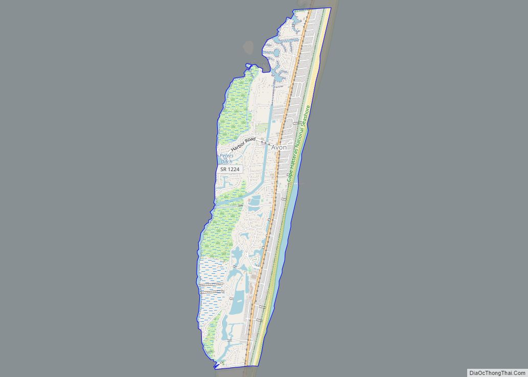
Nags Head Road Map
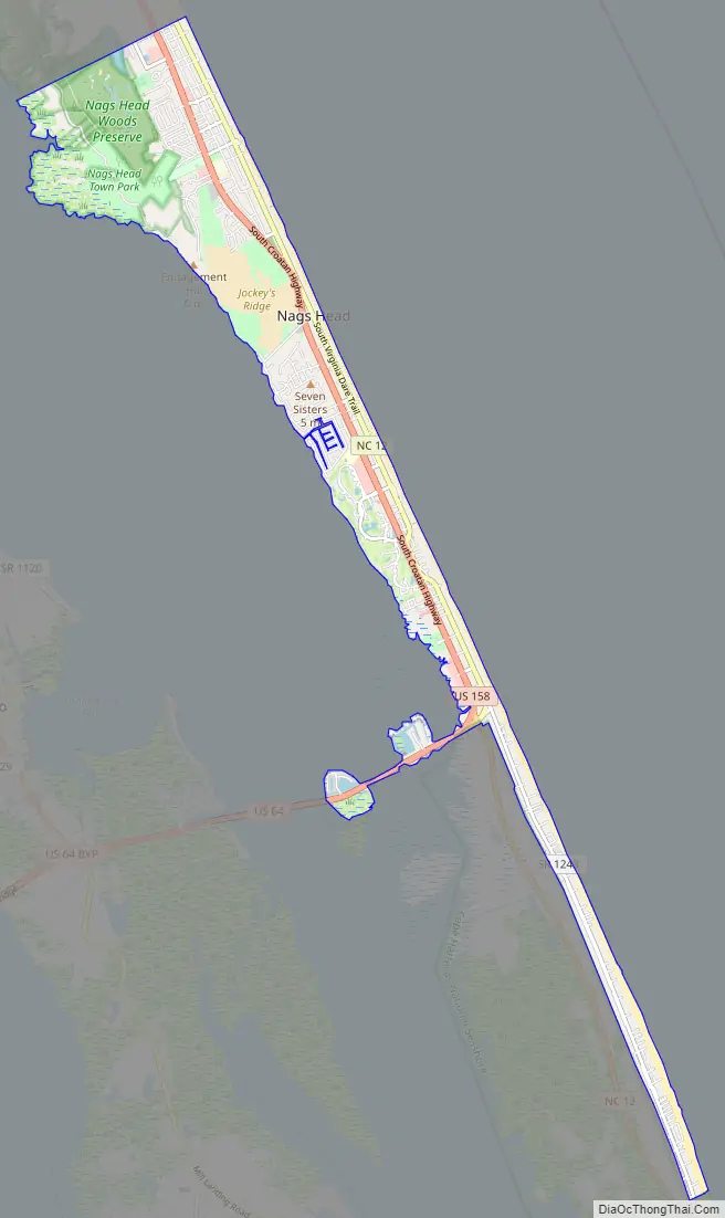
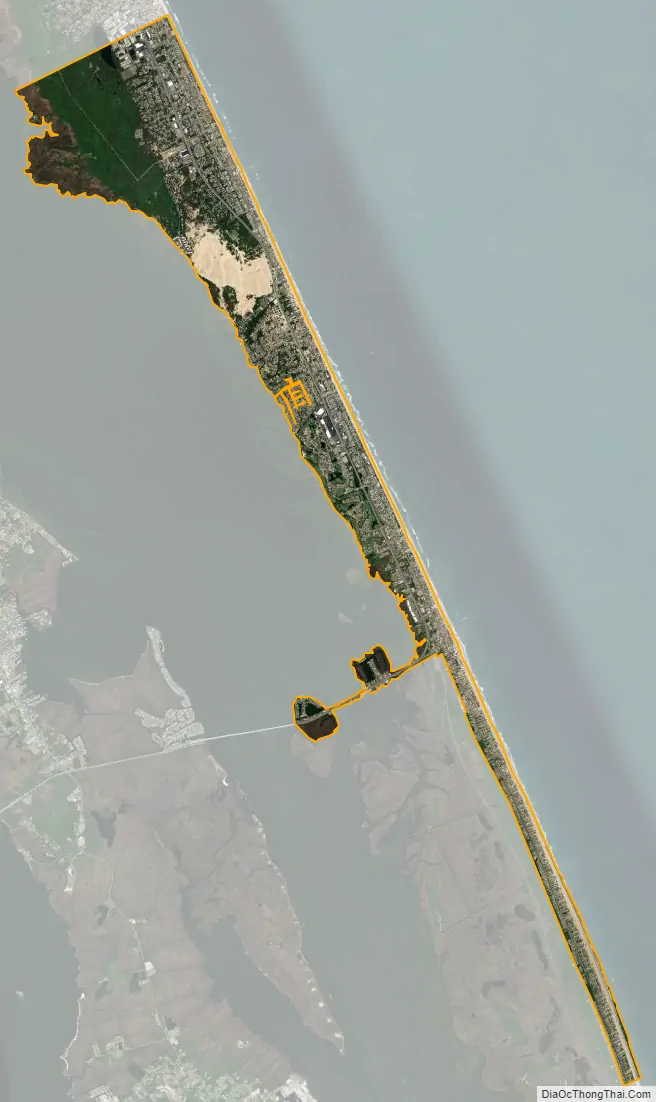
Nags Head city Satellite Map
Geography
Nags Head is located at 35°55′55″N 75°36′54″W / 35.93194°N 75.61500°W / 35.93194; -75.61500 (35.932004, -75.615085).
According to the United States Census Bureau, the town has a total area of 6.6 square miles (17.2 km), of which 6.6 square miles (17.0 km) is land and 0.1 square miles (0.2 km), or 1.15%, is water.
See also
Map of North Carolina State and its subdivision:- Alamance
- Alexander
- Alleghany
- Anson
- Ashe
- Avery
- Beaufort
- Bertie
- Bladen
- Brunswick
- Buncombe
- Burke
- Cabarrus
- Caldwell
- Camden
- Carteret
- Caswell
- Catawba
- Chatham
- Cherokee
- Chowan
- Clay
- Cleveland
- Columbus
- Craven
- Cumberland
- Currituck
- Dare
- Davidson
- Davie
- Duplin
- Durham
- Edgecombe
- Forsyth
- Franklin
- Gaston
- Gates
- Graham
- Granville
- Greene
- Guilford
- Halifax
- Harnett
- Haywood
- Henderson
- Hertford
- Hoke
- Hyde
- Iredell
- Jackson
- Johnston
- Jones
- Lee
- Lenoir
- Lincoln
- Macon
- Madison
- Martin
- McDowell
- Mecklenburg
- Mitchell
- Montgomery
- Moore
- Nash
- New Hanover
- Northampton
- Onslow
- Orange
- Pamlico
- Pasquotank
- Pender
- Perquimans
- Person
- Pitt
- Polk
- Randolph
- Richmond
- Robeson
- Rockingham
- Rowan
- Rutherford
- Sampson
- Scotland
- Stanly
- Stokes
- Surry
- Swain
- Transylvania
- Tyrrell
- Union
- Vance
- Wake
- Warren
- Washington
- Watauga
- Wayne
- Wilkes
- Wilson
- Yadkin
- Yancey
- Alabama
- Alaska
- Arizona
- Arkansas
- California
- Colorado
- Connecticut
- Delaware
- District of Columbia
- Florida
- Georgia
- Hawaii
- Idaho
- Illinois
- Indiana
- Iowa
- Kansas
- Kentucky
- Louisiana
- Maine
- Maryland
- Massachusetts
- Michigan
- Minnesota
- Mississippi
- Missouri
- Montana
- Nebraska
- Nevada
- New Hampshire
- New Jersey
- New Mexico
- New York
- North Carolina
- North Dakota
- Ohio
- Oklahoma
- Oregon
- Pennsylvania
- Rhode Island
- South Carolina
- South Dakota
- Tennessee
- Texas
- Utah
- Vermont
- Virginia
- Washington
- West Virginia
- Wisconsin
- Wyoming