Pembroke is a town in Robeson County, North Carolina, United States. It is about 90 miles inland and northwest from the Atlantic Coast. The population was 2,973, at the 2010 census. The town is the seat of the state-recognized Lumbee tribe of North Carolina, as well as the home of The University of North Carolina at Pembroke.
| Name: | Pembroke town |
|---|---|
| LSAD Code: | 43 |
| LSAD Description: | town (suffix) |
| State: | North Carolina |
| County: | Robeson County |
| Incorporated: | 1895 |
| Elevation: | 171 ft (52 m) |
| Total Area: | 3.18 sq mi (8.23 km²) |
| Land Area: | 3.18 sq mi (8.23 km²) |
| Water Area: | 0.00 sq mi (0.00 km²) |
| Total Population: | 2,823 |
| Population Density: | 888.02/sq mi (342.88/km²) |
| ZIP code: | 28372 |
| FIPS code: | 3751080 |
| GNISfeature ID: | 0992012 |
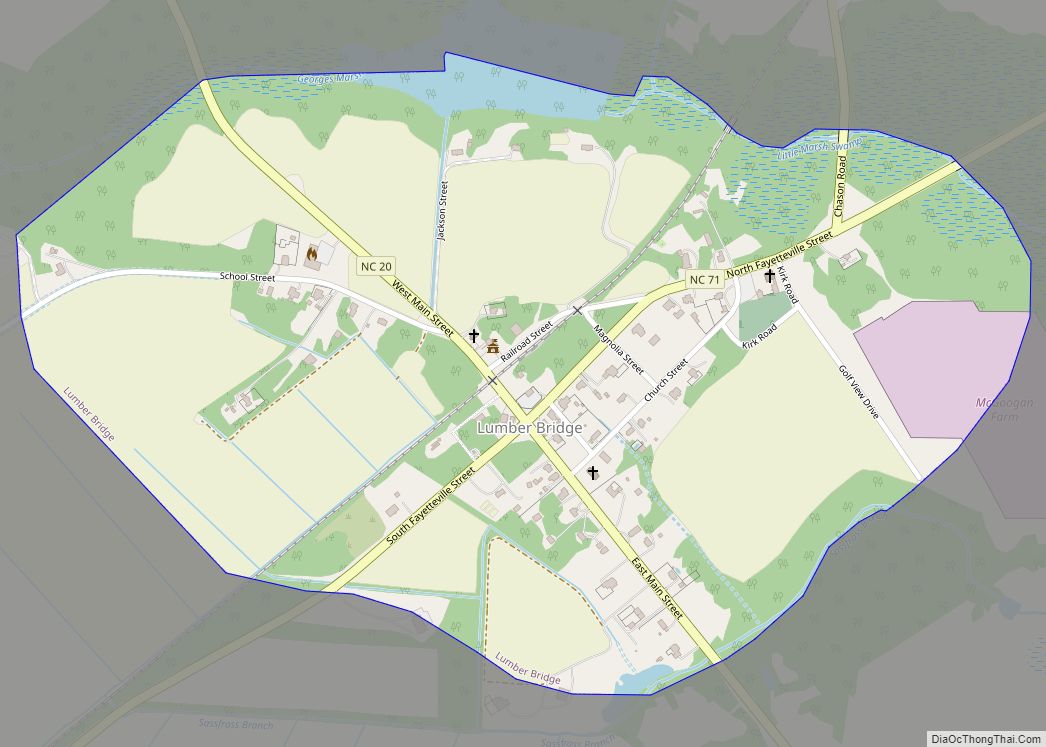
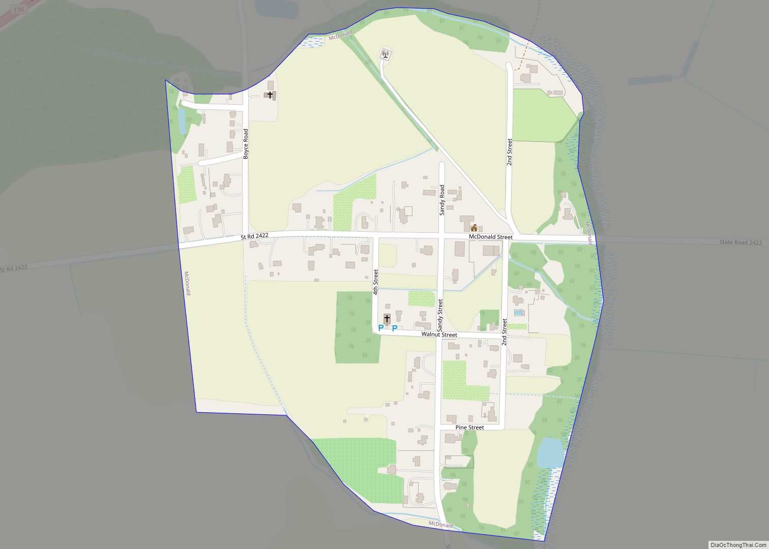
Online Interactive Map
Click on ![]() to view map in "full screen" mode.
to view map in "full screen" mode.
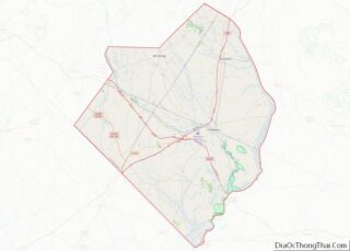
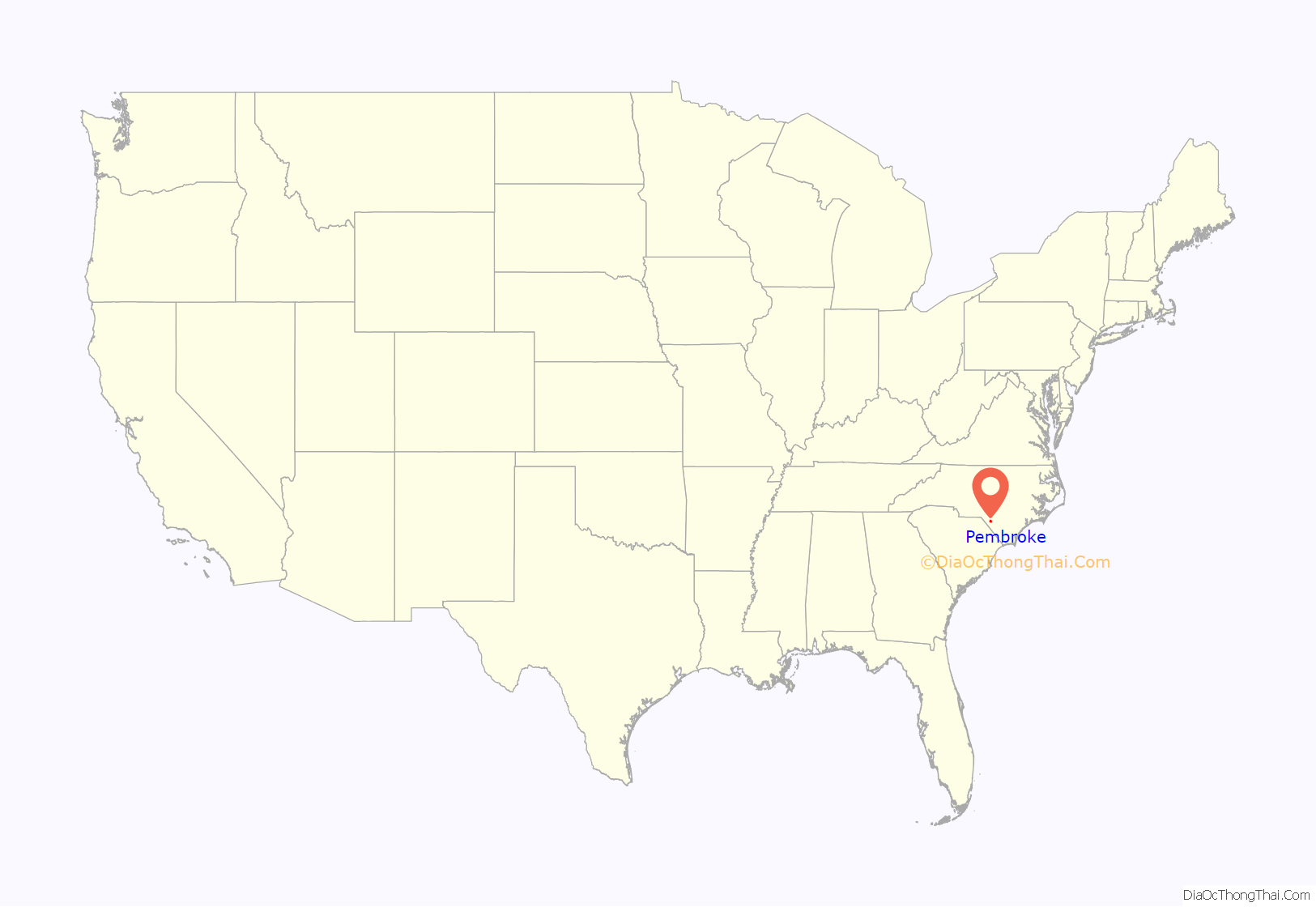
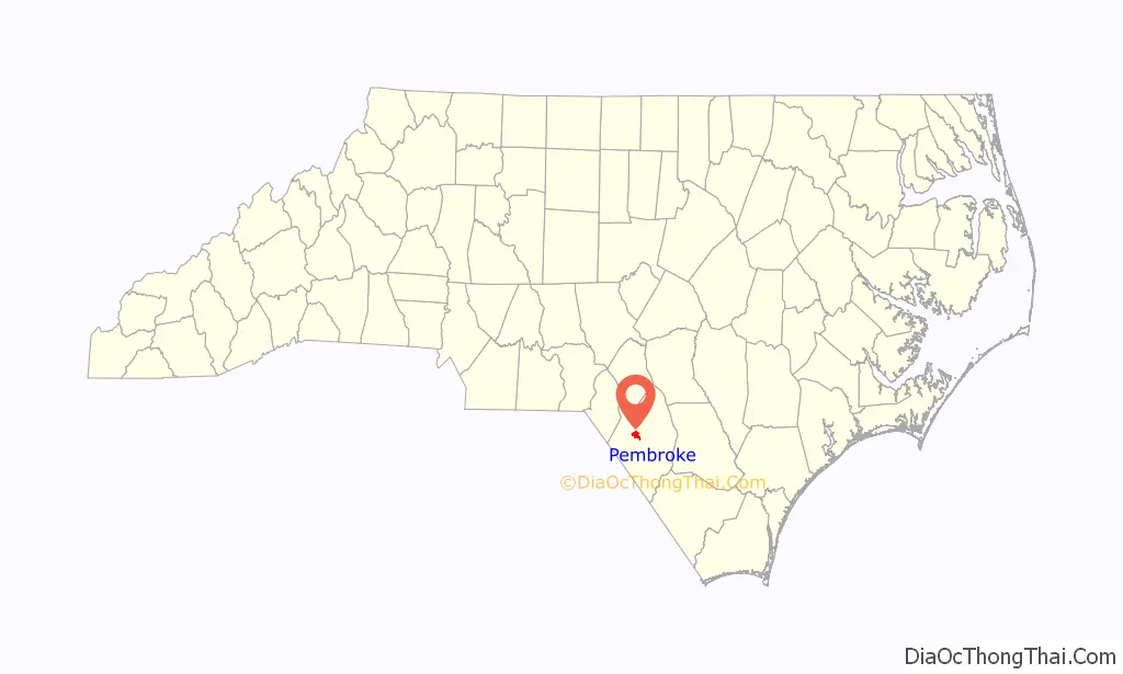
Pembroke location map. Where is Pembroke town?
History
In 1860, there existed Campbell’s Mill in Robeson County. That year the Wilmington, Charlotte and Rutherford Railroad constructed an east–west line through the area, but no strong community developed and no train station was erected, probably due to the proximity of the larger communities of Moss Neck and Pates. In 1892, the Wilmington and Weldon Railroad proposed building a north–south line through Moss Neck, but at the opposition of a prominent citizen the line was moved a few miles west to Campbell’s Mill. A train station was erected, and the Atlantic Land and Improvement Company plotted one square mile of streets centered around it. Lots were sold to private holders and the community quickly became a center for commerce.
In 1895 the community’s population stood at approximately 150 residents. It was incorporated that year as the town of Pembroke, named for railway worker Pembroke Jones. In 1909 the Croatan Normal School was moved there. The earliest buildings in the community were made of wood, with awnings built to cover their entrances. The first brick building was erected in 1922. Around that time, Pates Supply Company, a general store, was established and became the largest business in Pembroke. A highway was established in 1923 along the east–west railroad, and the first street was paved in 1932. Pembroke became a center for Lumbee commercial activity, though most kept to the rural areas of the county. Due to their predominance in the community, the town lacked strict adherence to many Jim Crow norms common in the South in early 20th century.
Under the town’s incorporating act, its citizens elected a mayor and a board of commissioners every year. Politically, the town fell under the control of its white minority, though by 1917 the Lumbee community had grown rapidly and was challenging this state of affairs. A white delegation went to Raleigh and petitioned the North Carolina General Assembly to alter the act. Under the new system, the Governor of North Carolina appointed the mayor and the commissioners. Due to an informal agreement the town usually had two Lumbee commissioners and two white commissioners under a white mayor. In 1945 a group of Lumbees petitioned the governor to support democratic reform in the municipal government. Two years later, the town returned to an elected government and Pembroke chose its first Lumbee mayor.
The Old Main building at the University of North Carolina at Pembroke and Pembroke High School, Former are listed on the National Register of Historic Places.
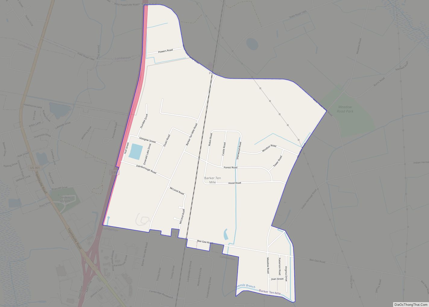
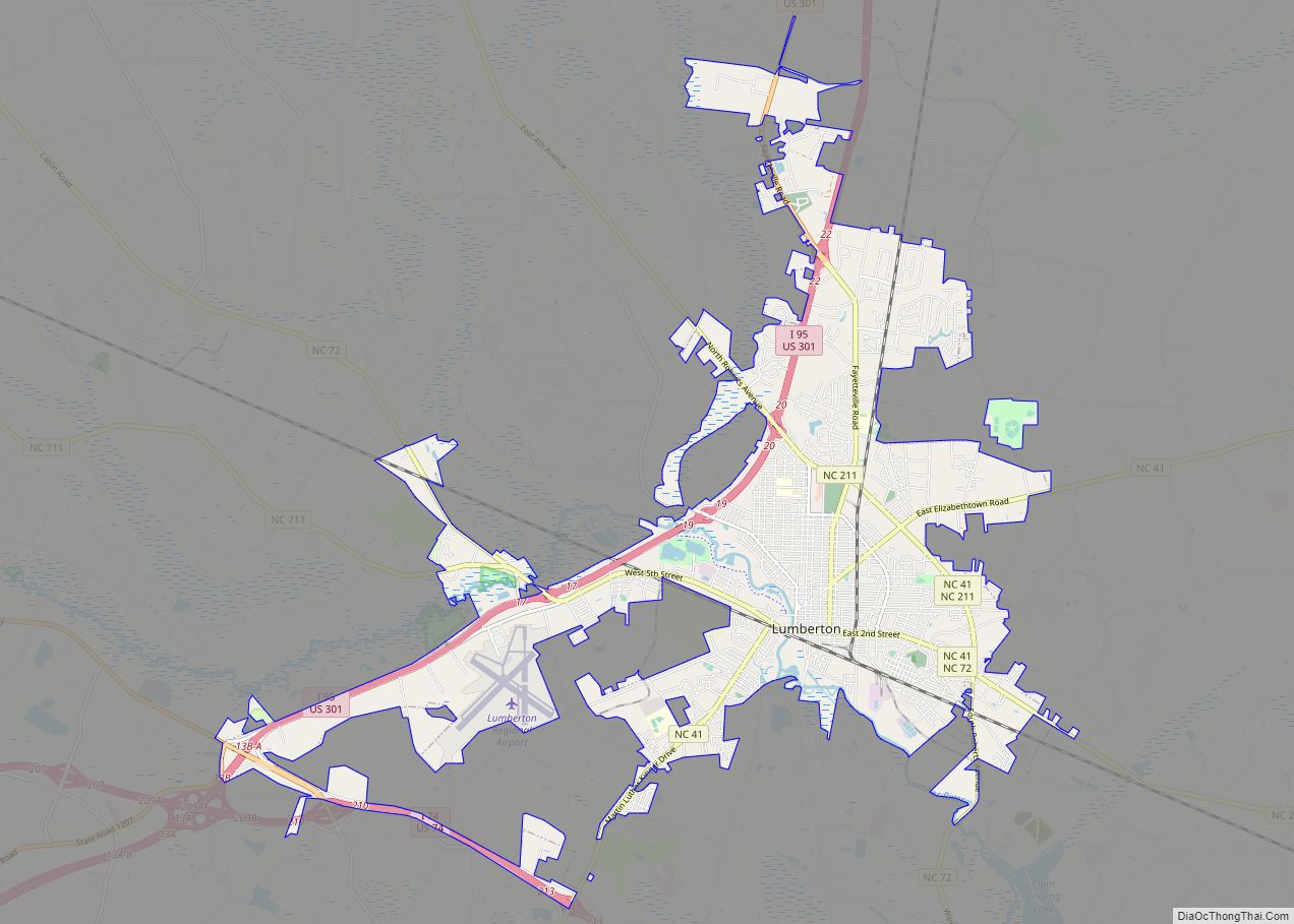
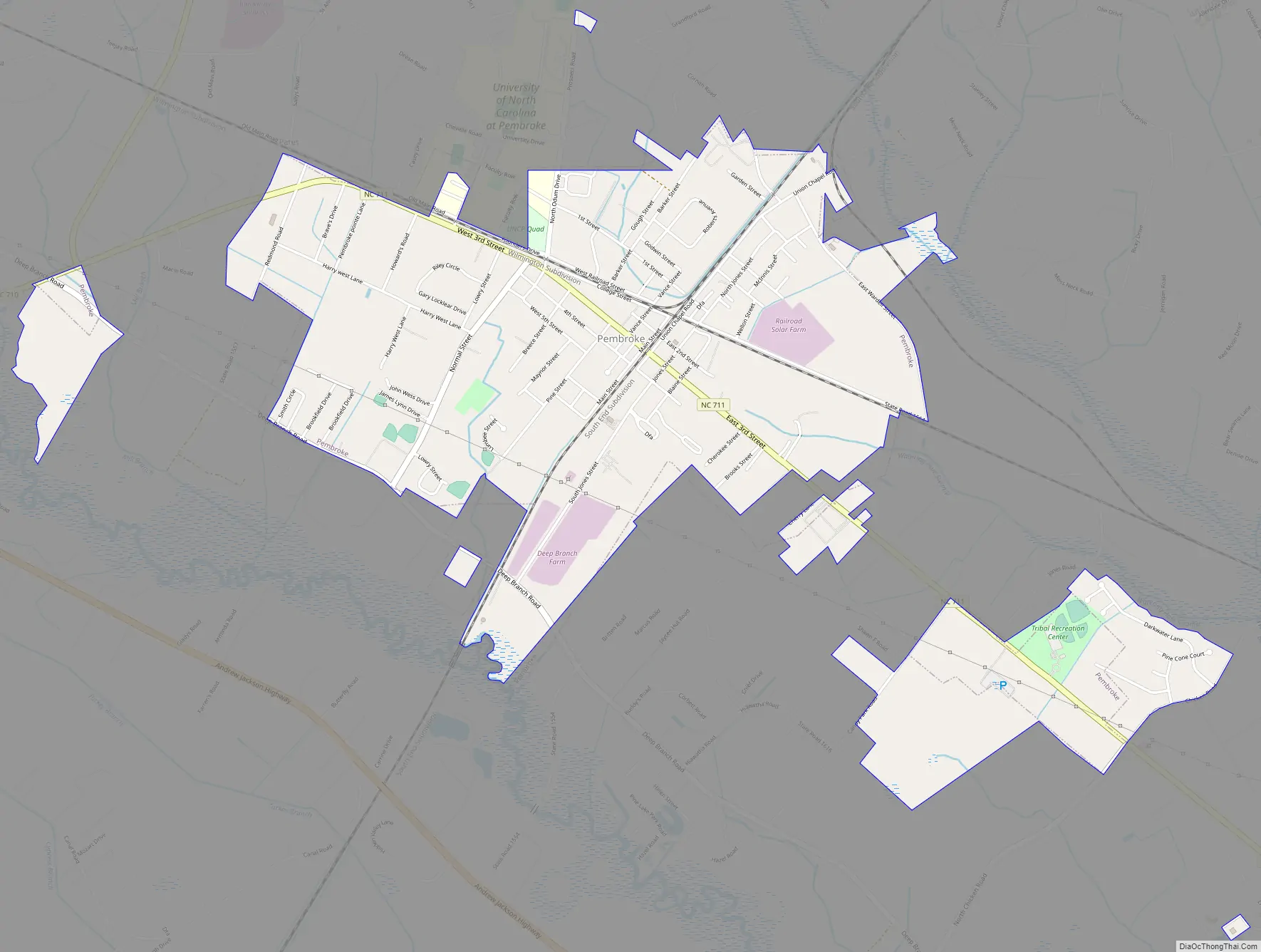
Pembroke Road Map
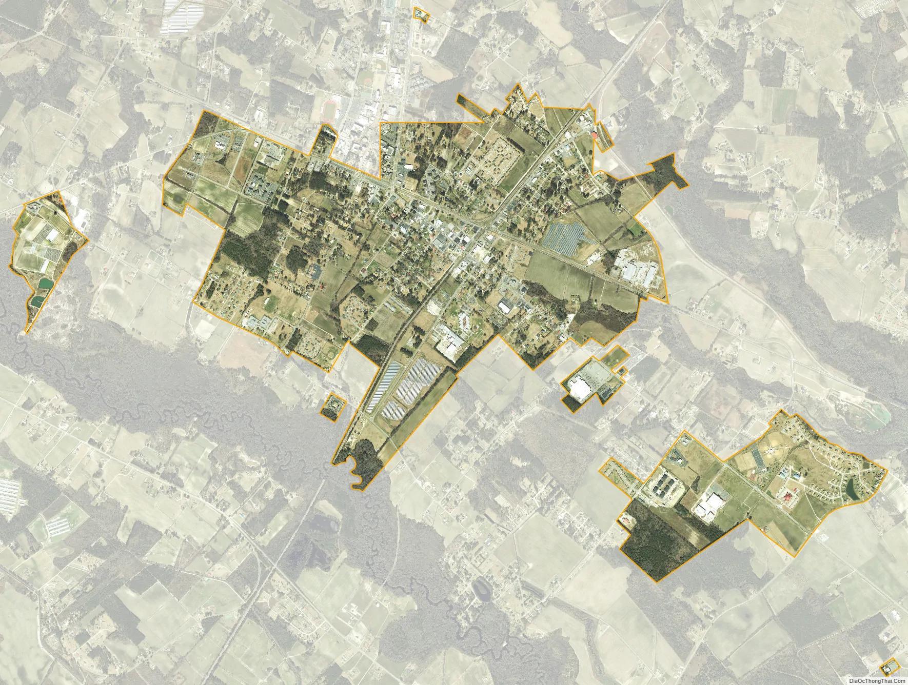
Pembroke city Satellite Map
Geography
Pembroke is located at 34°40′55″N 79°11′45″W / 34.68194°N 79.19583°W / 34.68194; -79.19583 (34.681949, -79.195765).
According to the United States Census Bureau, the town has a total area of 2.3 square miles (6.0 km), all land.
See also
Map of North Carolina State and its subdivision:- Alamance
- Alexander
- Alleghany
- Anson
- Ashe
- Avery
- Beaufort
- Bertie
- Bladen
- Brunswick
- Buncombe
- Burke
- Cabarrus
- Caldwell
- Camden
- Carteret
- Caswell
- Catawba
- Chatham
- Cherokee
- Chowan
- Clay
- Cleveland
- Columbus
- Craven
- Cumberland
- Currituck
- Dare
- Davidson
- Davie
- Duplin
- Durham
- Edgecombe
- Forsyth
- Franklin
- Gaston
- Gates
- Graham
- Granville
- Greene
- Guilford
- Halifax
- Harnett
- Haywood
- Henderson
- Hertford
- Hoke
- Hyde
- Iredell
- Jackson
- Johnston
- Jones
- Lee
- Lenoir
- Lincoln
- Macon
- Madison
- Martin
- McDowell
- Mecklenburg
- Mitchell
- Montgomery
- Moore
- Nash
- New Hanover
- Northampton
- Onslow
- Orange
- Pamlico
- Pasquotank
- Pender
- Perquimans
- Person
- Pitt
- Polk
- Randolph
- Richmond
- Robeson
- Rockingham
- Rowan
- Rutherford
- Sampson
- Scotland
- Stanly
- Stokes
- Surry
- Swain
- Transylvania
- Tyrrell
- Union
- Vance
- Wake
- Warren
- Washington
- Watauga
- Wayne
- Wilkes
- Wilson
- Yadkin
- Yancey
- Alabama
- Alaska
- Arizona
- Arkansas
- California
- Colorado
- Connecticut
- Delaware
- District of Columbia
- Florida
- Georgia
- Hawaii
- Idaho
- Illinois
- Indiana
- Iowa
- Kansas
- Kentucky
- Louisiana
- Maine
- Maryland
- Massachusetts
- Michigan
- Minnesota
- Mississippi
- Missouri
- Montana
- Nebraska
- Nevada
- New Hampshire
- New Jersey
- New Mexico
- New York
- North Carolina
- North Dakota
- Ohio
- Oklahoma
- Oregon
- Pennsylvania
- Rhode Island
- South Carolina
- South Dakota
- Tennessee
- Texas
- Utah
- Vermont
- Virginia
- Washington
- West Virginia
- Wisconsin
- Wyoming