Stoneville is a town in Rockingham County, North Carolina, United States. Stoneville is part of the Greensboro–High Point metropolitan area of the Piedmont Triad. On March 20, 1998, an EF-3 tornado touched down in neighboring Madison and Mayodan after the system had crossed into Rockingham County from Stokes County. Then, it strengthened into an EF-3 as it crossed Route 220 as it followed the train tracks to downtown Stoneville.
| Name: | Stoneville town |
|---|---|
| LSAD Code: | 43 |
| LSAD Description: | town (suffix) |
| State: | North Carolina |
| County: | Rockingham County |
| Elevation: | 830 ft (253 m) |
| Total Area: | 1.43 sq mi (3.70 km²) |
| Land Area: | 1.43 sq mi (3.70 km²) |
| Water Area: | 0.00 sq mi (0.00 km²) |
| Total Population: | 1,308 |
| Population Density: | 914.69/sq mi (353.15/km²) |
| ZIP code: | 27048 |
| Area code: | 336 |
| FIPS code: | 3765100 |
| GNISfeature ID: | 0995543 |
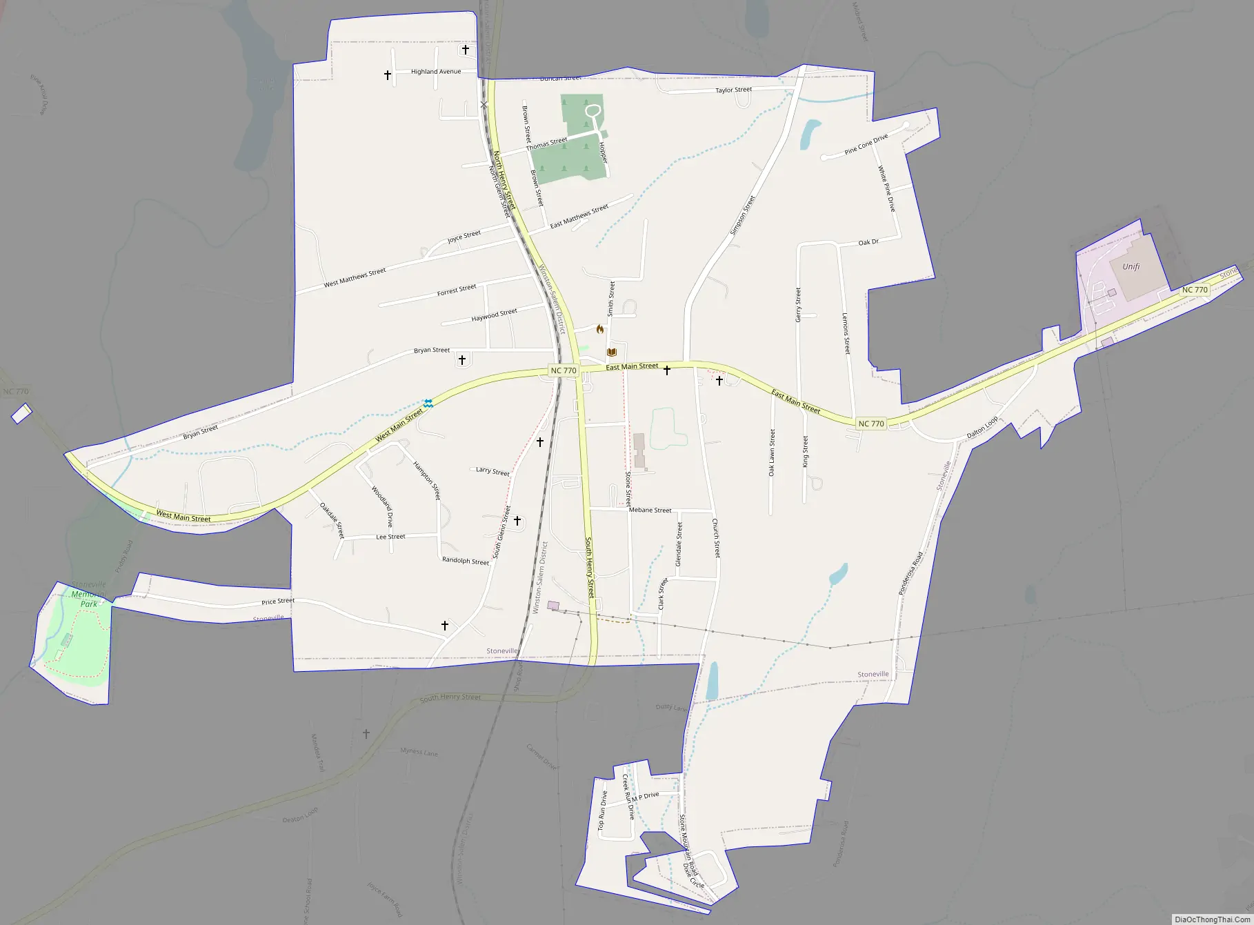
Online Interactive Map
Click on ![]() to view map in "full screen" mode.
to view map in "full screen" mode.
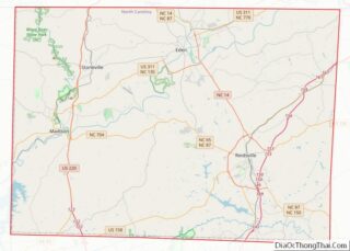
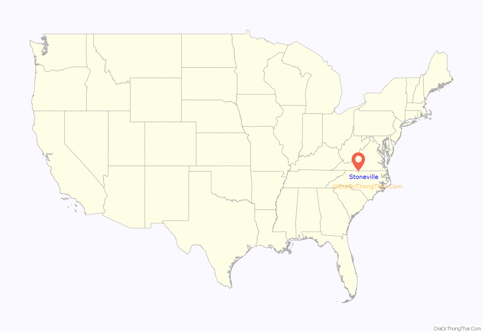
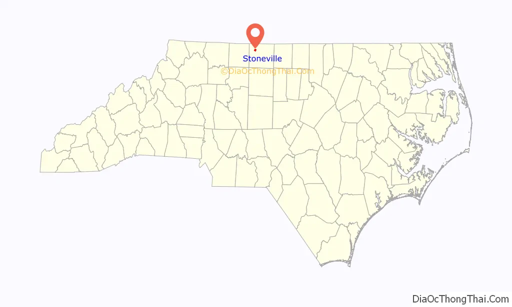
Stoneville location map. Where is Stoneville town?
History
Settlers came to the ridge between the Mayo and Dan rivers in the northwest Piedmont region in the early 1800s. In 1827, the Deep Springs Plantation was built for James Madison Scales and his wife Elizabeth Lesuer in what is now Stoneville. In 1843 the R.H. Lewis Tobacco company was established in the south side of the land that was to become the town of Stoneville. In the late 1850s, brothers Thomas and Pinkney Stone bought land in the area. On March 5, 1877, the town was officially incorporated. A natural stop on the Norfolk-Western rail line, Stoneville became the trade hub for the surrounding localities and profited off of tobacco, cotton and grist-milling industries.
On March 20, 1998, Stoneville was struck by an F3 tornado. It caused severe damage to commercial structures in the town’s main business district along Henry Street, destroyed the railway depot, and killed one person in the town, an elementary school teacher and dancer named Beth Mitchell. Several buildings in the downtown were completely removed, and most cleanup and repair work was done within a year. The town later built Friendship Park and painted a mural at the site of a destroyed store to commemorate the victim killed in the town and a farmer killed further west in the county.
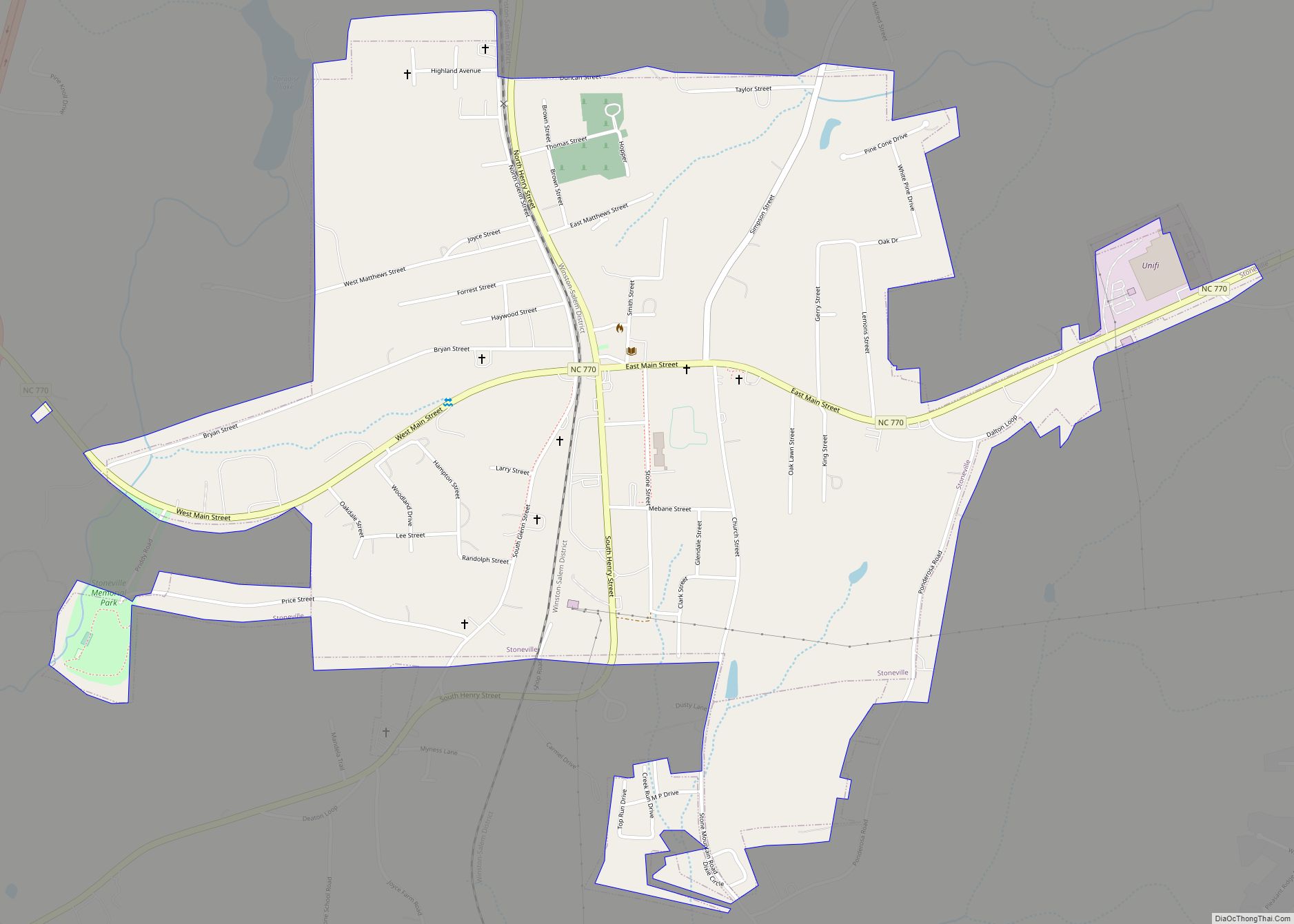
Stoneville Road Map
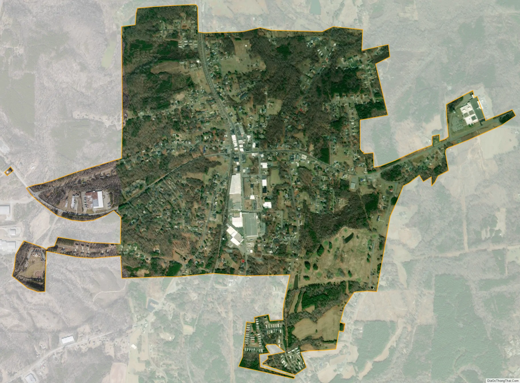
Stoneville city Satellite Map
Geography
Stoneville is located at 36°27′57″N 79°54′23″W / 36.46583°N 79.90639°W / 36.46583; -79.90639 (36.465836, -79.906342).
According to the United States Census Bureau, the town has a total area of 1.2 square miles (3.1 km), all of it land.
See also
Map of North Carolina State and its subdivision:- Alamance
- Alexander
- Alleghany
- Anson
- Ashe
- Avery
- Beaufort
- Bertie
- Bladen
- Brunswick
- Buncombe
- Burke
- Cabarrus
- Caldwell
- Camden
- Carteret
- Caswell
- Catawba
- Chatham
- Cherokee
- Chowan
- Clay
- Cleveland
- Columbus
- Craven
- Cumberland
- Currituck
- Dare
- Davidson
- Davie
- Duplin
- Durham
- Edgecombe
- Forsyth
- Franklin
- Gaston
- Gates
- Graham
- Granville
- Greene
- Guilford
- Halifax
- Harnett
- Haywood
- Henderson
- Hertford
- Hoke
- Hyde
- Iredell
- Jackson
- Johnston
- Jones
- Lee
- Lenoir
- Lincoln
- Macon
- Madison
- Martin
- McDowell
- Mecklenburg
- Mitchell
- Montgomery
- Moore
- Nash
- New Hanover
- Northampton
- Onslow
- Orange
- Pamlico
- Pasquotank
- Pender
- Perquimans
- Person
- Pitt
- Polk
- Randolph
- Richmond
- Robeson
- Rockingham
- Rowan
- Rutherford
- Sampson
- Scotland
- Stanly
- Stokes
- Surry
- Swain
- Transylvania
- Tyrrell
- Union
- Vance
- Wake
- Warren
- Washington
- Watauga
- Wayne
- Wilkes
- Wilson
- Yadkin
- Yancey
- Alabama
- Alaska
- Arizona
- Arkansas
- California
- Colorado
- Connecticut
- Delaware
- District of Columbia
- Florida
- Georgia
- Hawaii
- Idaho
- Illinois
- Indiana
- Iowa
- Kansas
- Kentucky
- Louisiana
- Maine
- Maryland
- Massachusetts
- Michigan
- Minnesota
- Mississippi
- Missouri
- Montana
- Nebraska
- Nevada
- New Hampshire
- New Jersey
- New Mexico
- New York
- North Carolina
- North Dakota
- Ohio
- Oklahoma
- Oregon
- Pennsylvania
- Rhode Island
- South Carolina
- South Dakota
- Tennessee
- Texas
- Utah
- Vermont
- Virginia
- Washington
- West Virginia
- Wisconsin
- Wyoming