Surrey is a town in Ward County, North Dakota, United States. The population was 1,357 at the 2020 census. Official incorporation of Surrey occurred in 1951. The city is part of the Minot Micropolitan Statistical Area.
| Name: | Surrey city |
|---|---|
| LSAD Code: | 25 |
| LSAD Description: | city (suffix) |
| State: | North Dakota |
| County: | Ward County |
| Founded: | June 18, 1900 |
| Incorporated: | 1951 |
| Elevation: | 1,634 ft (498 m) |
| Total Area: | 2.12 sq mi (5.49 km²) |
| Land Area: | 2.11 sq mi (5.47 km²) |
| Water Area: | 0.01 sq mi (0.02 km²) |
| Total Population: | 1,357 |
| Population Density: | 642.52/sq mi (248.04/km²) |
| ZIP code: | 58785 |
| Area code: | 701 |
| FIPS code: | 3877180 |
| GNISfeature ID: | 1032399 |
| Website: | surreynd.org |
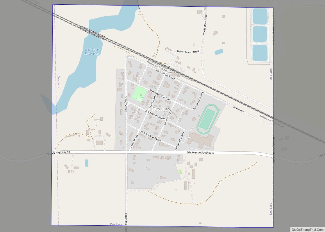
Online Interactive Map
Click on ![]() to view map in "full screen" mode.
to view map in "full screen" mode.
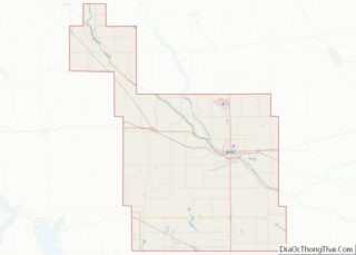
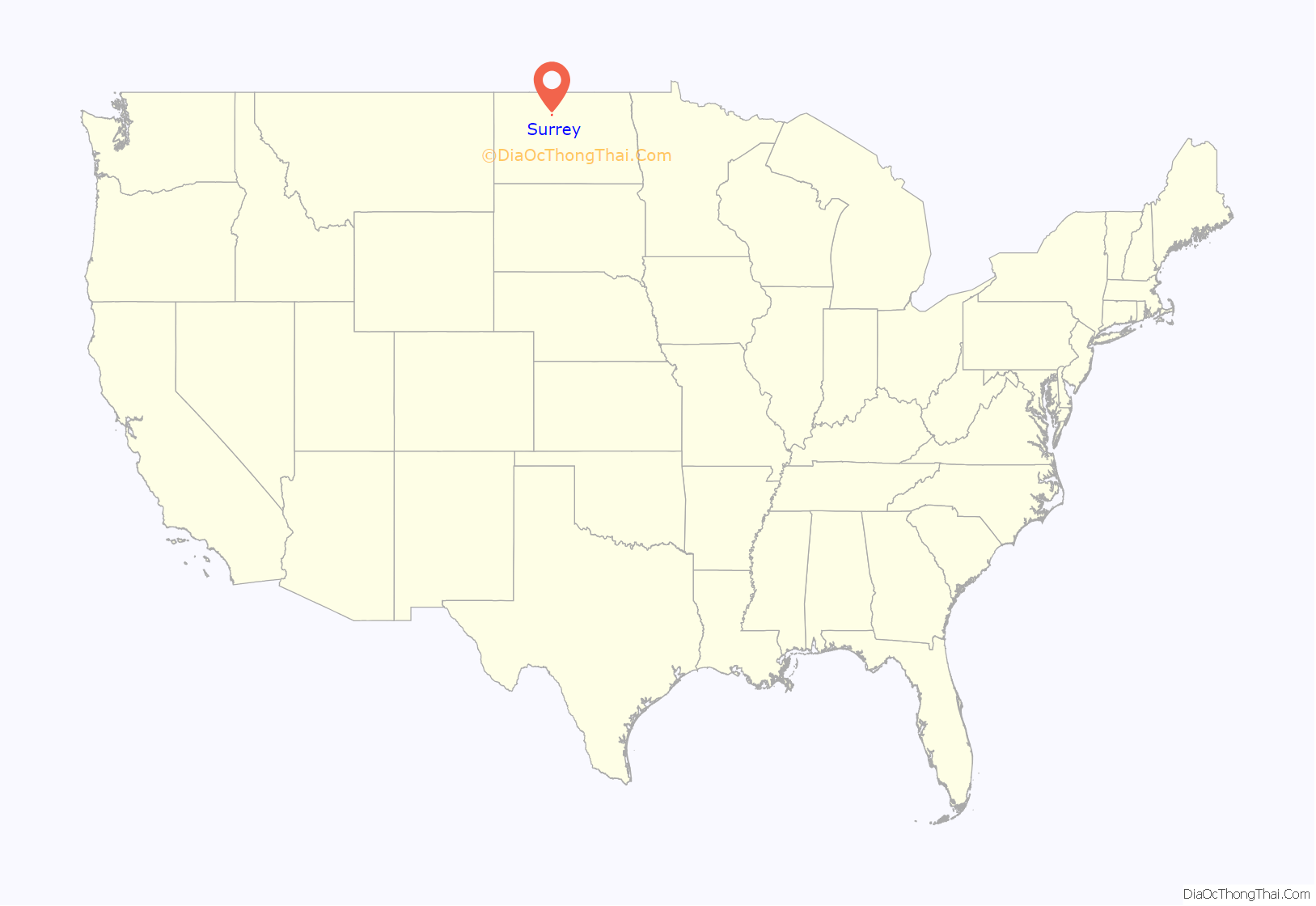
Surrey location map. Where is Surrey city?

History
Surrey was founded on June 18, 1900, and named after Surrey, England, by Great Northern Railway officials. It was one of several sites along the Great Northern’s transcontinental route between Devils Lake and Minot that were named after places in England (the others were Berwick, Leeds, Norwich, Penn, Rugby, Tunbridge, and York).
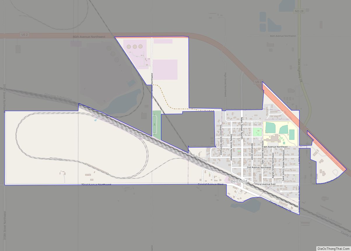
Surrey Road Map
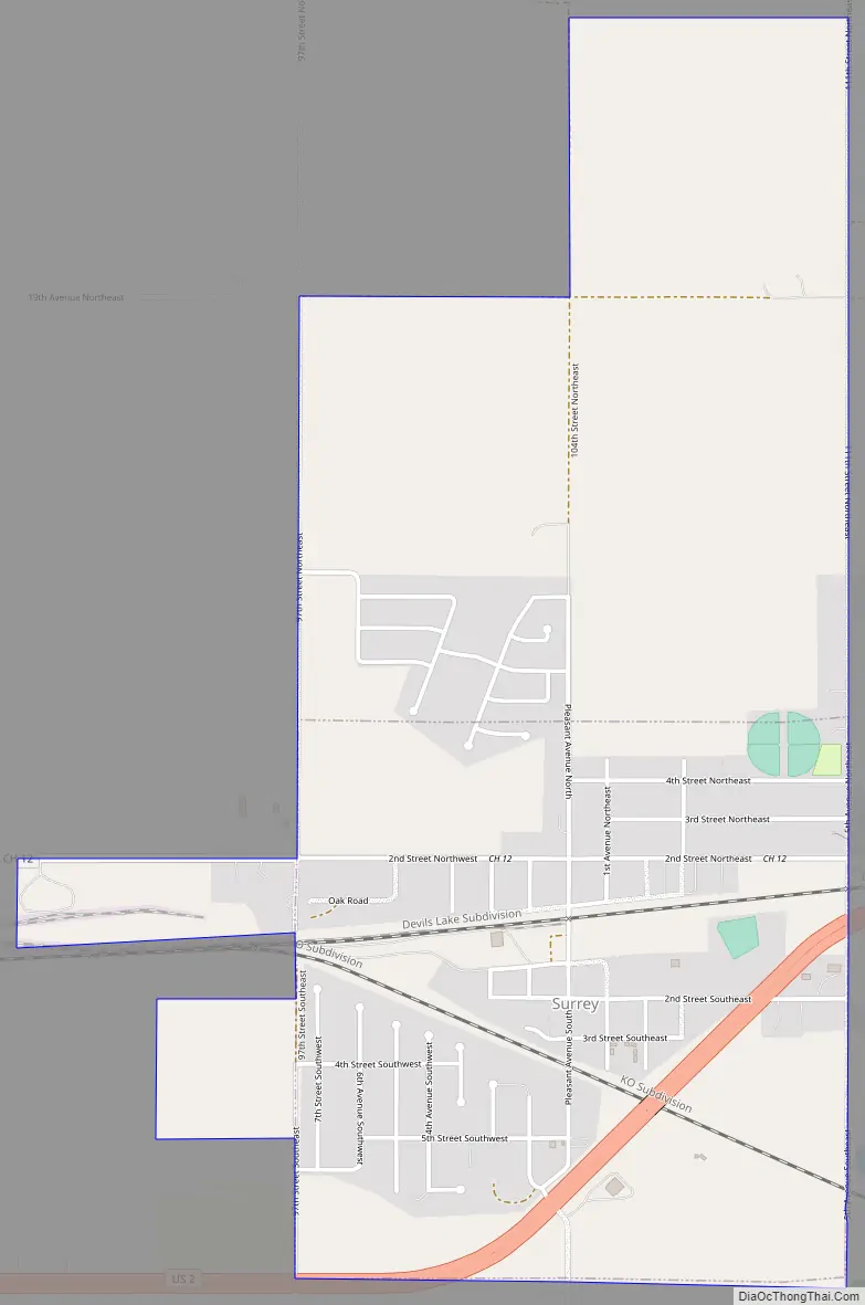
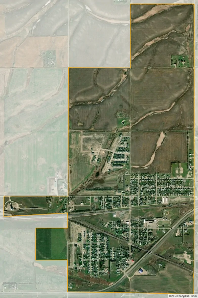
Surrey city Satellite Map
Geography
Surrey is located at 48°14′13″N 101°7′59″W / 48.23694°N 101.13306°W / 48.23694; -101.13306 (48.237055, −101.133035). According to the United States Census Bureau, the city has a total area of 0.99 square miles (2.56 km), of which 0.98 square miles (2.54 km) is land and 0.01 square miles (0.03 km) is water.
See also
Map of North Dakota State and its subdivision:- Adams
- Barnes
- Benson
- Billings
- Bottineau
- Bowman
- Burke
- Burleigh
- Cass
- Cavalier
- Dickey
- Divide
- Dunn
- Eddy
- Emmons
- Foster
- Golden Valley
- Grand Forks
- Grant
- Griggs
- Hettinger
- Kidder
- Lamoure
- Logan
- McHenry
- McIntosh
- McKenzie
- McLean
- Mercer
- Morton
- Mountrail
- Nelson
- Oliver
- Pembina
- Pierce
- Ramsey
- Ransom
- Renville
- Richland
- Rolette
- Sargent
- Sheridan
- Sioux
- Slope
- Stark
- Steele
- Stutsman
- Towner
- Traill
- Walsh
- Ward
- Wells
- Williams
- Alabama
- Alaska
- Arizona
- Arkansas
- California
- Colorado
- Connecticut
- Delaware
- District of Columbia
- Florida
- Georgia
- Hawaii
- Idaho
- Illinois
- Indiana
- Iowa
- Kansas
- Kentucky
- Louisiana
- Maine
- Maryland
- Massachusetts
- Michigan
- Minnesota
- Mississippi
- Missouri
- Montana
- Nebraska
- Nevada
- New Hampshire
- New Jersey
- New Mexico
- New York
- North Carolina
- North Dakota
- Ohio
- Oklahoma
- Oregon
- Pennsylvania
- Rhode Island
- South Carolina
- South Dakota
- Tennessee
- Texas
- Utah
- Vermont
- Virginia
- Washington
- West Virginia
- Wisconsin
- Wyoming