Almond is a village located in the town of Almond in Allegany County, New York, United States. The population was 466 at the 2010 census. Because the village is located on the county line, a small part is in the town of Hornellsville in Steuben County.
| Name: | Almond village |
|---|---|
| LSAD Code: | 47 |
| LSAD Description: | village (suffix) |
| State: | New York |
| County: | Allegany County, Steuben County |
| Elevation: | 1,335 ft (407 m) |
| Total Area: | 0.56 sq mi (1.46 km²) |
| Land Area: | 0.56 sq mi (1.46 km²) |
| Water Area: | 0.00 sq mi (0.00 km²) |
| Total Population: | 415 |
| Population Density: | 735.82/sq mi (283.93/km²) |
| ZIP code: | 14804 |
| Area code: | 607 |
| FIPS code: | 3601440 |
| GNISfeature ID: | 0942389 |
| Website: | almondny.com |
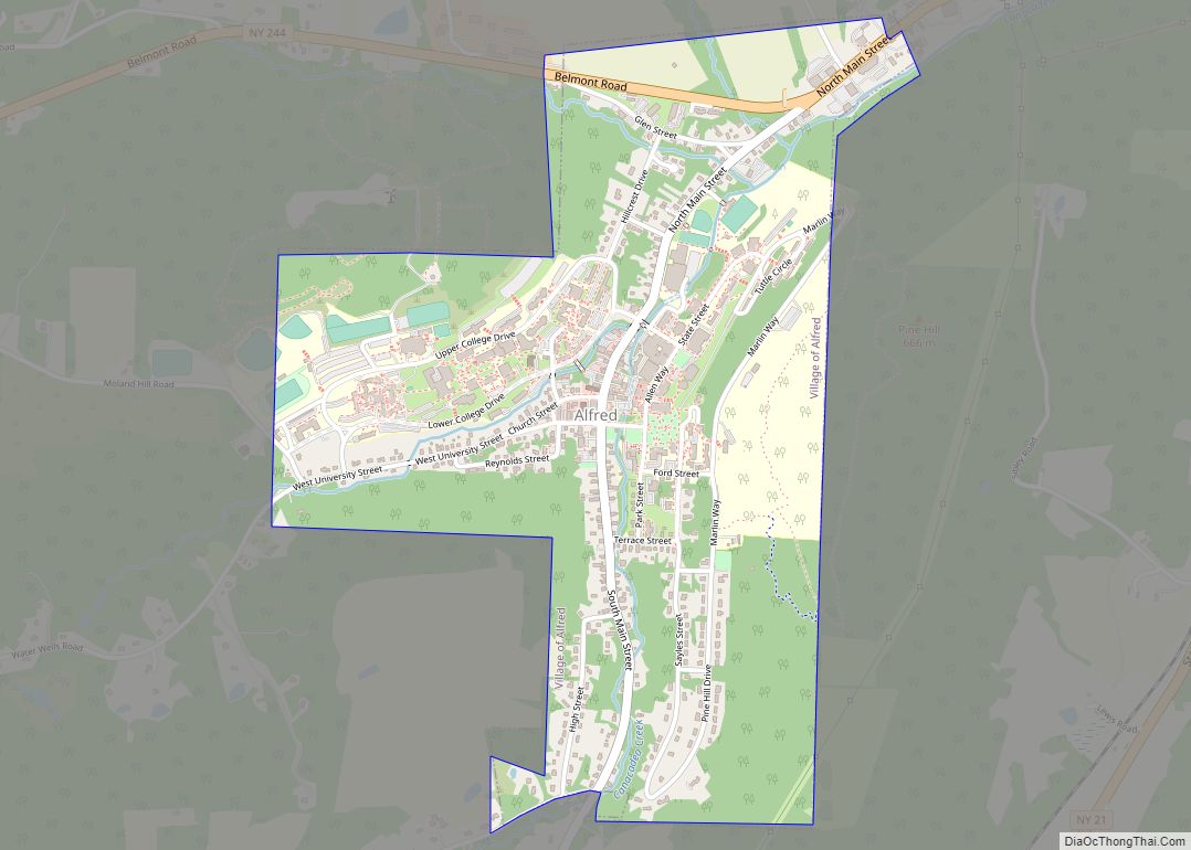
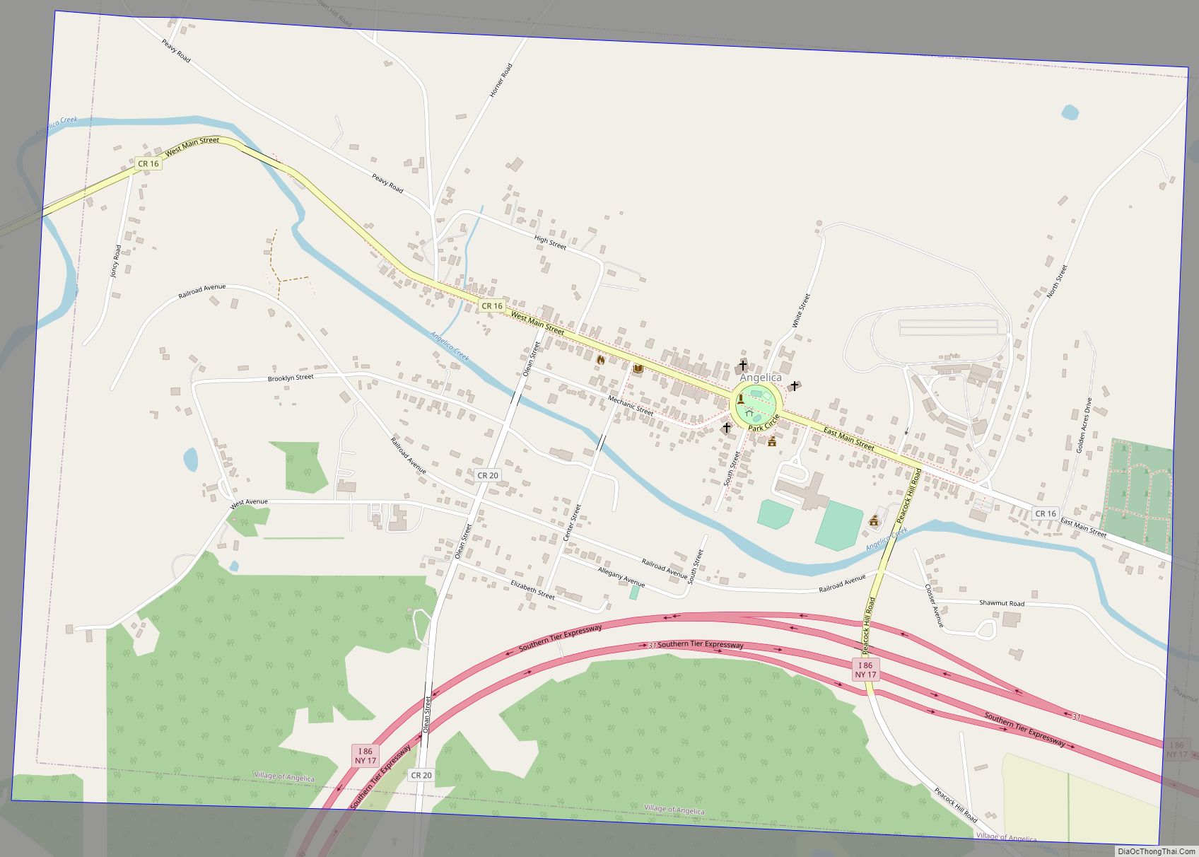
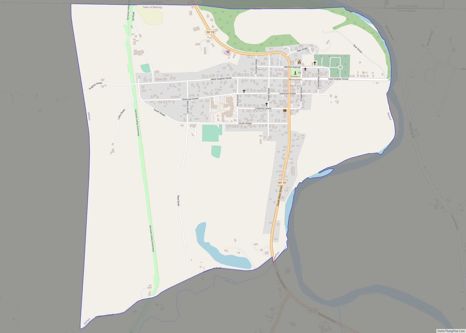
Online Interactive Map
Click on ![]() to view map in "full screen" mode.
to view map in "full screen" mode.
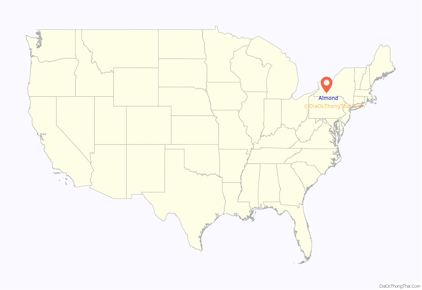
Almond location map. Where is Almond village?
History
The first people to settle in the Karr Valley area came from Luzerne County, Pennsylvania in 1796. After the legal formation of Allegany County, New York in 1806, the area that would become Almond was initially a part of the town of Alfred, New York. In 1821, Almond was separated from Alfred by an “act of Legislature.”
Notably, the area was not named after the almond tree nut, but rather after the Almond River near Edinburgh, Scotland, from where its settlers came. The village’s residents pronounce the town’s name with the Scottish pronunciation, which is closer to “Ellmund”.
In the early 1800s, Almond “thrived… with many mills and factories popping up along the narrow creek and Main Street.” However, the town’s economic growth was limited by the size of the narrow valley it inhabited, and was reportedly “maxed out” in the 1840s. As a result, new businesses opted to move into neighboring towns like Hornell. By the early 1900s, the town’s economy had stagnated significantly; old factories burned down and owners opted to rebuild in other locations, rather than in Almond.
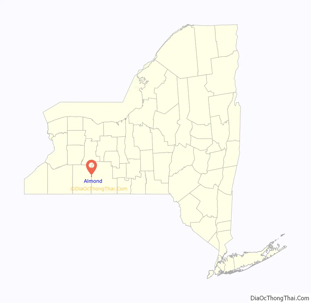
Almond Road Map
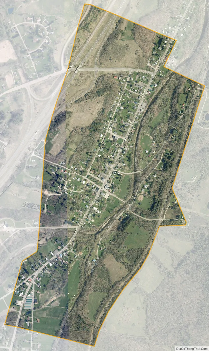
Almond city Satellite Map
Geography
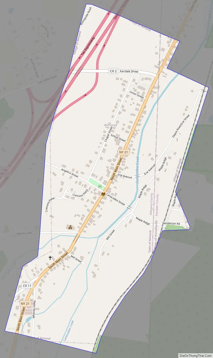
According to the United States Census Bureau, the village has a total area of 0.6 square mile (1.5 km), all land.
Canacadea Creek flows through the village. The Southern Tier Expressway (Interstate 86 and New York State Route 17) and New York State Route 21 pass through the village.
See also
Map of New York State and its subdivision:- Albany
- Allegany
- Bronx
- Broome
- Cattaraugus
- Cayuga
- Chautauqua
- Chemung
- Chenango
- Clinton
- Columbia
- Cortland
- Delaware
- Dutchess
- Erie
- Essex
- Franklin
- Fulton
- Genesee
- Greene
- Hamilton
- Herkimer
- Jefferson
- Kings
- Lake Ontario
- Lewis
- Livingston
- Madison
- Monroe
- Montgomery
- Nassau
- New York
- Niagara
- Oneida
- Onondaga
- Ontario
- Orange
- Orleans
- Oswego
- Otsego
- Putnam
- Queens
- Rensselaer
- Richmond
- Rockland
- Saint Lawrence
- Saratoga
- Schenectady
- Schoharie
- Schuyler
- Seneca
- Steuben
- Suffolk
- Sullivan
- Tioga
- Tompkins
- Ulster
- Warren
- Washington
- Wayne
- Westchester
- Wyoming
- Yates
- Alabama
- Alaska
- Arizona
- Arkansas
- California
- Colorado
- Connecticut
- Delaware
- District of Columbia
- Florida
- Georgia
- Hawaii
- Idaho
- Illinois
- Indiana
- Iowa
- Kansas
- Kentucky
- Louisiana
- Maine
- Maryland
- Massachusetts
- Michigan
- Minnesota
- Mississippi
- Missouri
- Montana
- Nebraska
- Nevada
- New Hampshire
- New Jersey
- New Mexico
- New York
- North Carolina
- North Dakota
- Ohio
- Oklahoma
- Oregon
- Pennsylvania
- Rhode Island
- South Carolina
- South Dakota
- Tennessee
- Texas
- Utah
- Vermont
- Virginia
- Washington
- West Virginia
- Wisconsin
- Wyoming