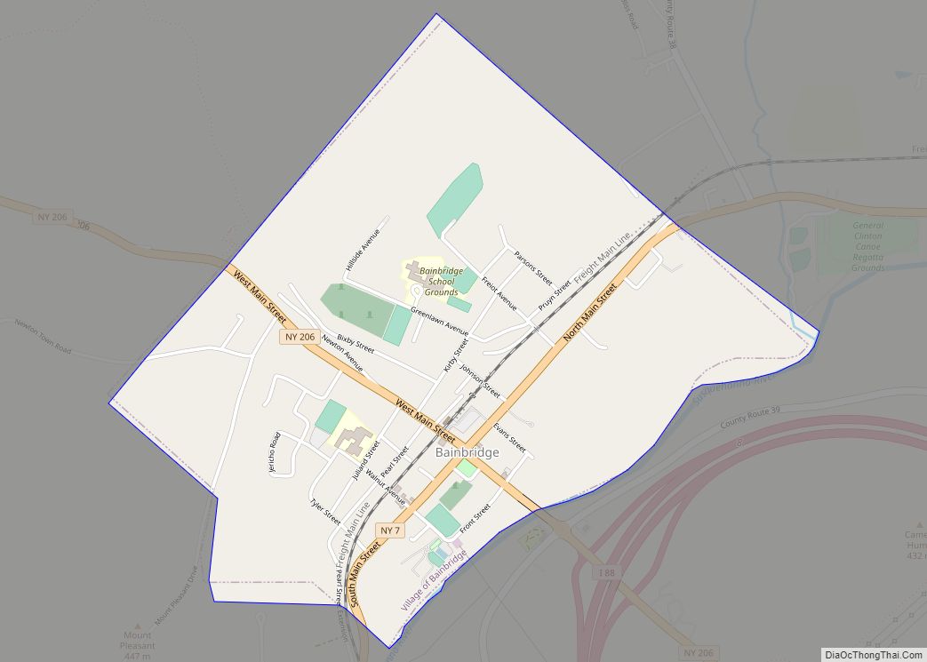
Bainbridge is a village in Chenango County, New York, United States. The population was 1,355 at the 2010 census. The village is at the center of the town of Bainbridge and lies between Binghamton and Oneonta.
| Name: | Bainbridge village |
|---|---|
| LSAD Code: | 47 |
| LSAD Description: | village (suffix) |
| State: | New York |
| County: | Chenango County |
| Elevation: | 994 ft (303 m) |
| Total Area: | 1.35 sq mi (3.51 km²) |
| Land Area: | 1.31 sq mi (3.40 km²) |
| Water Area: | 0.04 sq mi (0.10 km²) |
| Total Population: | 1,251 |
| Population Density: | 952.05/sq mi (367.55/km²) |
| ZIP code: | 13733 |
| Area code: | 607 |
| FIPS code: | 3604033 |
| GNISfeature ID: | 0942805 |
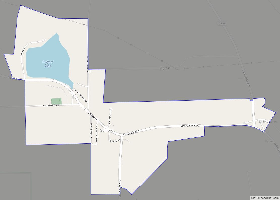
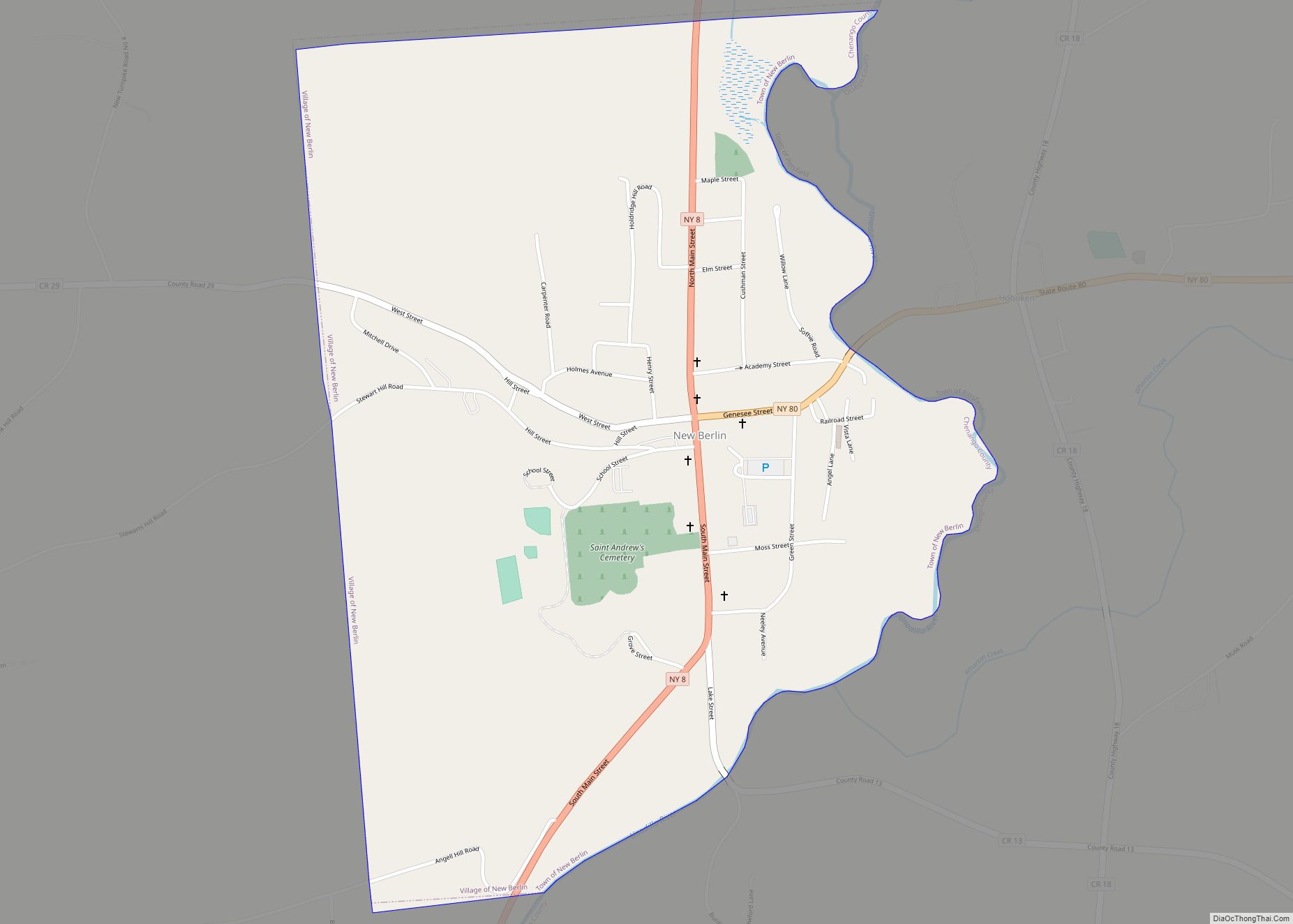
Online Interactive Map
Click on ![]() to view map in "full screen" mode.
to view map in "full screen" mode.
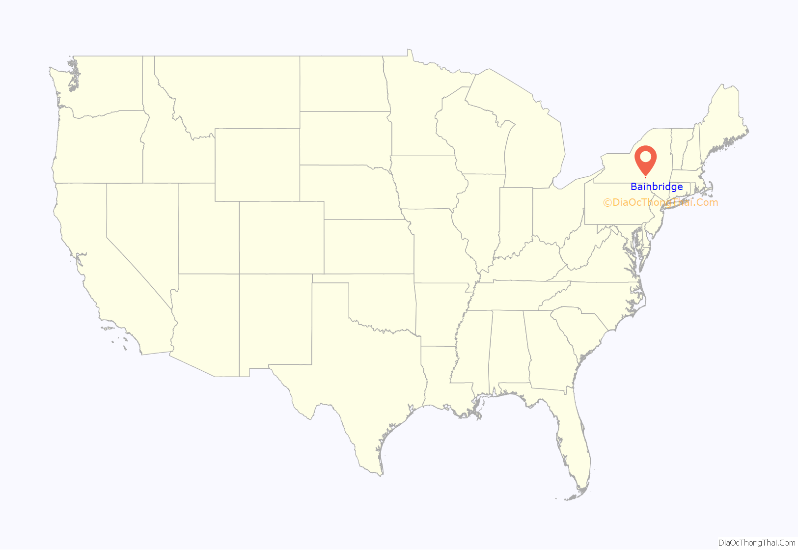
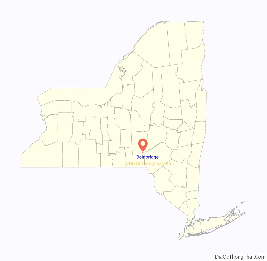
Bainbridge location map. Where is Bainbridge village?
History
The first settlement of the village site took place circa 1789. The village was incorporated in 1821. It was once the home for production of Elmer’s Glue. In 1982, many of its historic buildings were included in the Bainbridge Historic District on the National Register of Historic Places. The Charles C. Hovey House and Strong Leather Company Mill was listed in 1996.
In June 2006, a weather system stalled over most of the Southern Tier in New York state, causing river levels to rise dramatically. The Susquehanna River, which runs through the eastern part of the village of Bainbridge, rose to 27 feet (8.2 m), which was 14 feet (4.3 m) over the river’s flood stage. Major flooding took place in the village, including the northern parts of North Main Street and the area near the town baseball field. The river stretched far up East Main Street, passing the village garage and post office. Flood waters also reached the exit and entrance to the westbound side of Interstate 88.
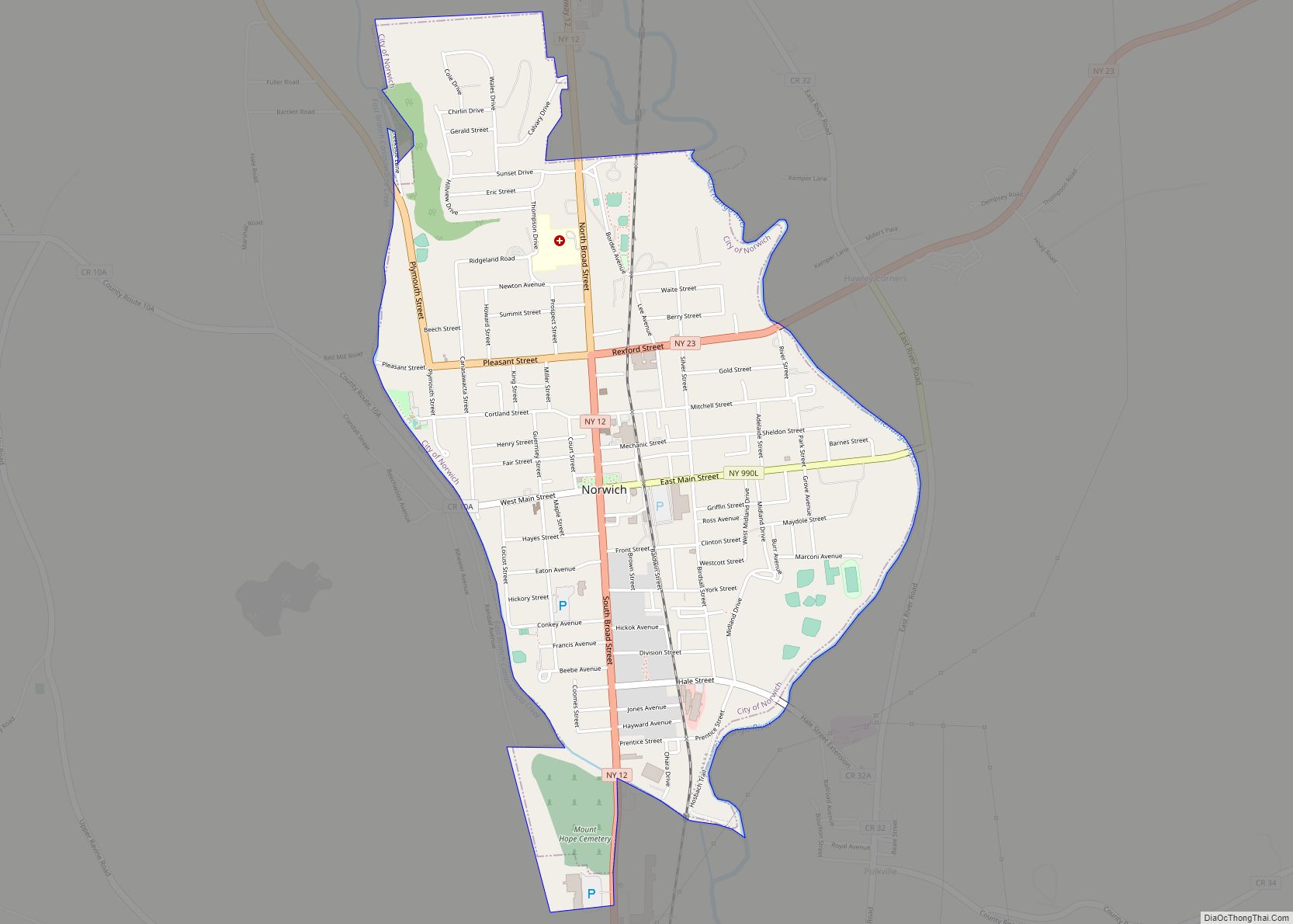
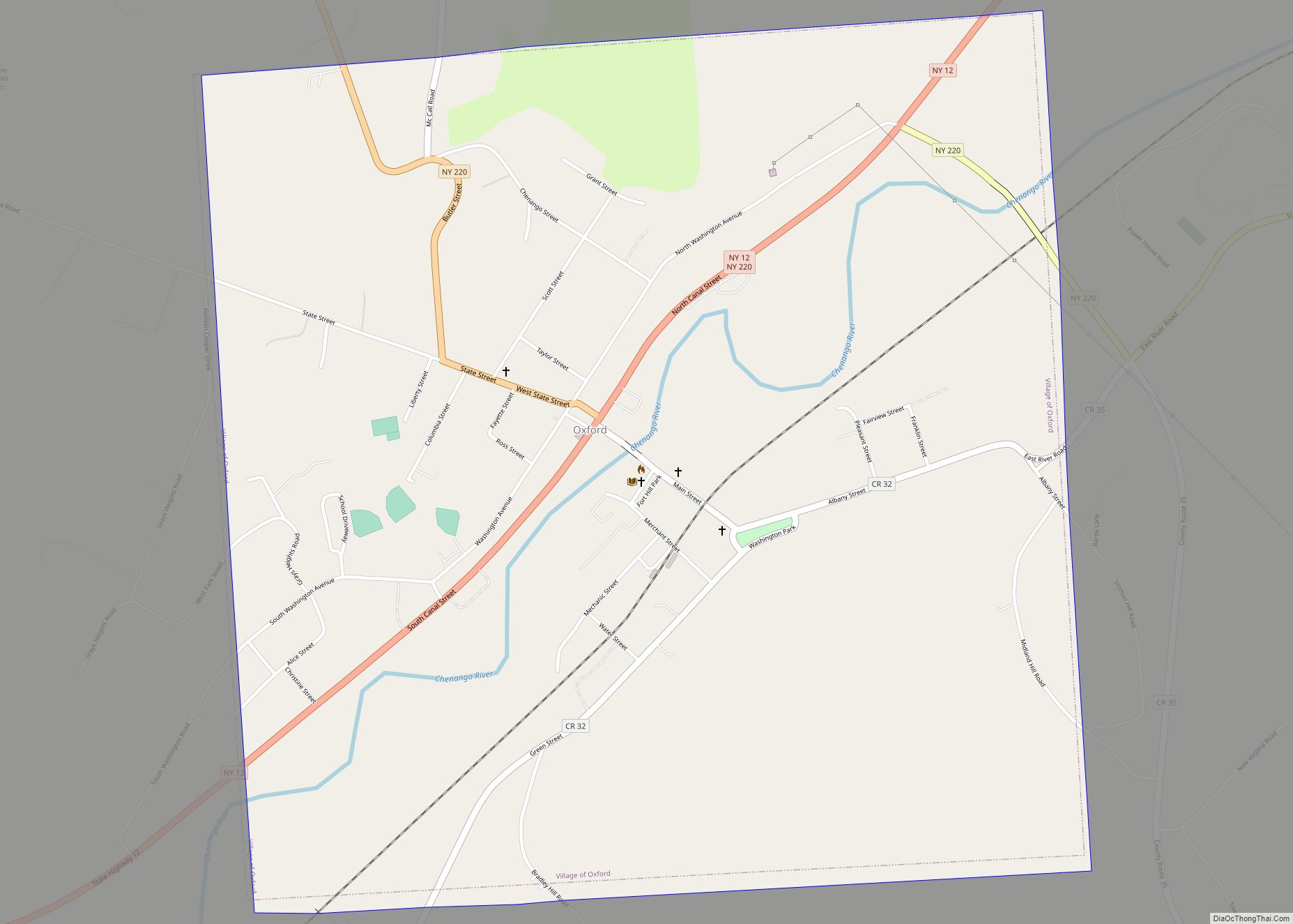
Bainbridge Road Map
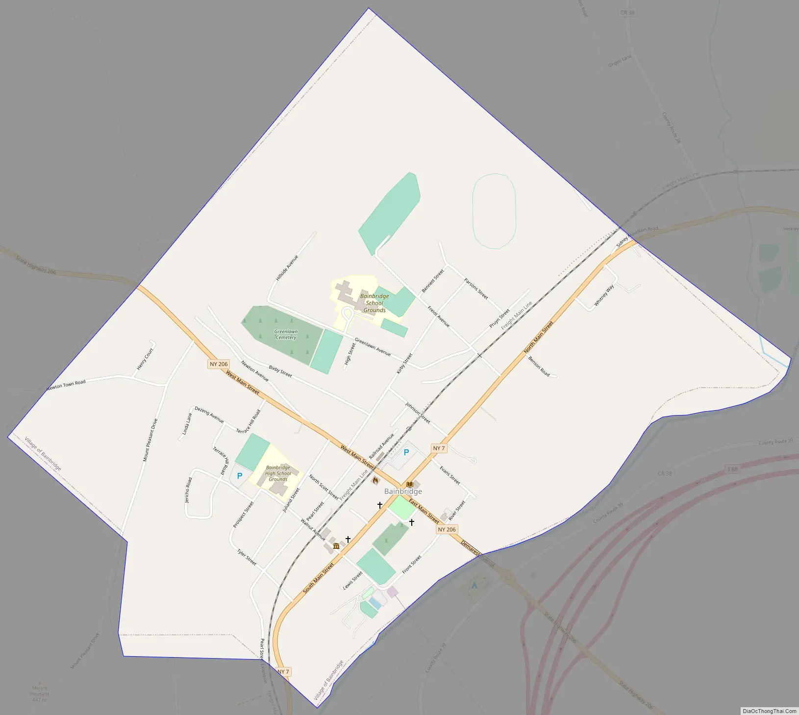
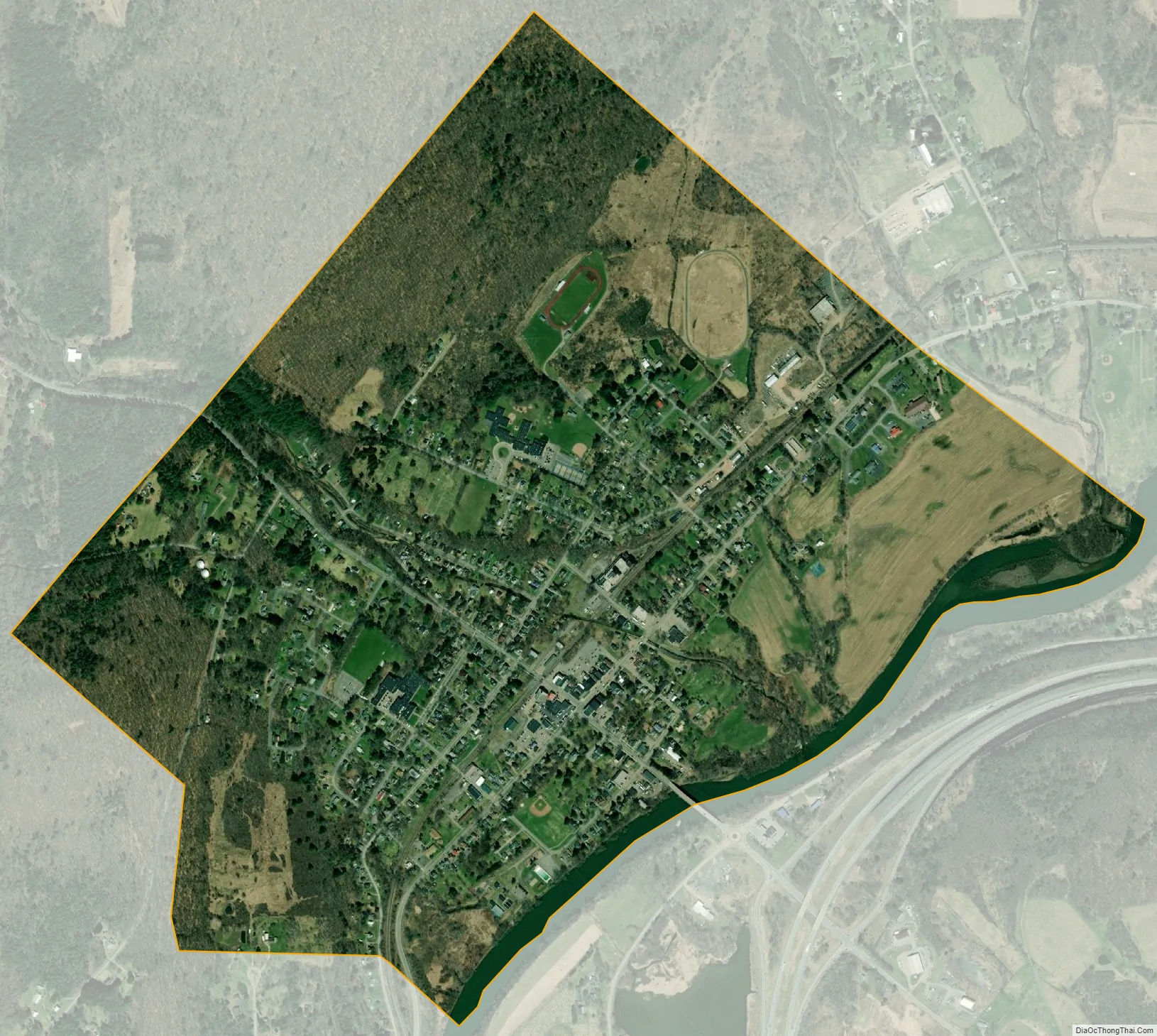
Bainbridge city Satellite Map
Geography
Bainbridge is located in southeastern Chenango County at 42°17′41″N 75°28′48″W / 42.29472°N 75.48000°W / 42.29472; -75.48000 (42.294803, -75.480089).
According to the United States Census Bureau, the village has a total area of 1.3 square miles (3.3 km), of which 1.2 square miles (3.2 km) is land and 0.04 square miles (0.1 km), or 2.74%, is water.
The village is adjacent to the Susquehanna River and Interstate 88 (exit 8). NY-7 (North and South Main Street) and NY-206 (East and West Main Street) intersect at the village.
See also
Map of New York State and its subdivision:- Albany
- Allegany
- Bronx
- Broome
- Cattaraugus
- Cayuga
- Chautauqua
- Chemung
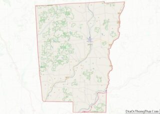
- Chenango
- Clinton
- Columbia
- Cortland
- Delaware
- Dutchess
- Erie
- Essex
- Franklin
- Fulton
- Genesee
- Greene
- Hamilton
- Herkimer
- Jefferson
- Kings
- Lake Ontario
- Lewis
- Livingston
- Madison
- Monroe
- Montgomery
- Nassau
- New York
- Niagara
- Oneida
- Onondaga
- Ontario
- Orange
- Orleans
- Oswego
- Otsego
- Putnam
- Queens
- Rensselaer
- Richmond
- Rockland
- Saint Lawrence
- Saratoga
- Schenectady
- Schoharie
- Schuyler
- Seneca
- Steuben
- Suffolk
- Sullivan
- Tioga
- Tompkins
- Ulster
- Warren
- Washington
- Wayne
- Westchester
- Wyoming
- Yates
- Alabama
- Alaska
- Arizona
- Arkansas
- California
- Colorado
- Connecticut
- Delaware
- District of Columbia
- Florida
- Georgia
- Hawaii
- Idaho
- Illinois
- Indiana
- Iowa
- Kansas
- Kentucky
- Louisiana
- Maine
- Maryland
- Massachusetts
- Michigan
- Minnesota
- Mississippi
- Missouri
- Montana
- Nebraska
- Nevada
- New Hampshire
- New Jersey
- New Mexico
- New York
- North Carolina
- North Dakota
- Ohio
- Oklahoma
- Oregon
- Pennsylvania
- Rhode Island
- South Carolina
- South Dakota
- Tennessee
- Texas
- Utah
- Vermont
- Virginia
- Washington
- West Virginia
- Wisconsin
- Wyoming